Back Doo' Thirl
Coastal Feature, Headland, Point in Kincardineshire
Scotland
Back Doo' Thirl
Back Doo' Thirl is a captivating coastal feature located in Kincardineshire, Scotland. Situated on the eastern coast of the country, it is a prominent headland that juts out into the North Sea. The name "Back Doo' Thirl" is derived from the local dialect and translates to "Back Door Thirl" in standard English.
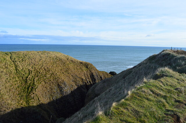
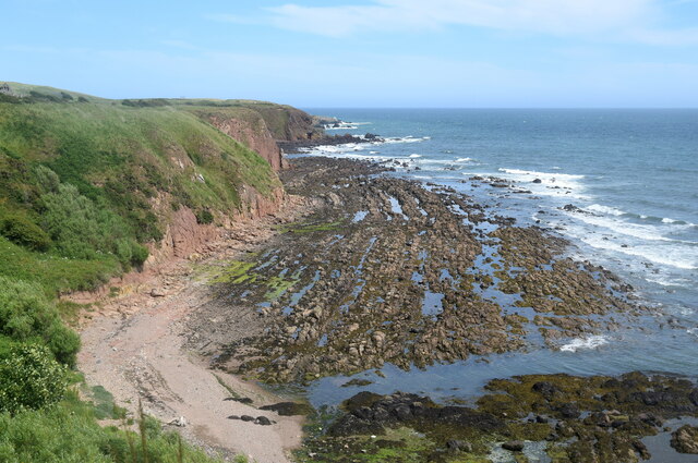
This picturesque headland is characterized by its rugged cliffs, which tower above the crashing waves below. The cliffs are composed of layers of sedimentary rocks, providing a fascinating geological display. Visitors can witness the natural erosion processes that have shaped the land over thousands of years, resulting in dramatic rock formations and sea stacks.
Back Doo' Thirl offers breathtaking panoramic views of the surrounding coastline. On clear days, it is possible to see as far as the towns of Stonehaven to the north and Montrose to the south. The headland also provides an ideal vantage point for observing the diverse marine life that inhabits the area, including seabirds, seals, and occasionally dolphins.
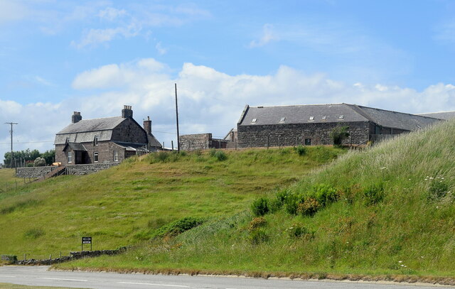
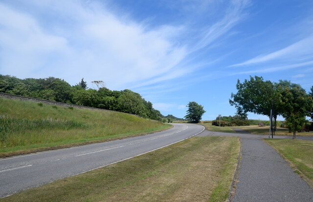
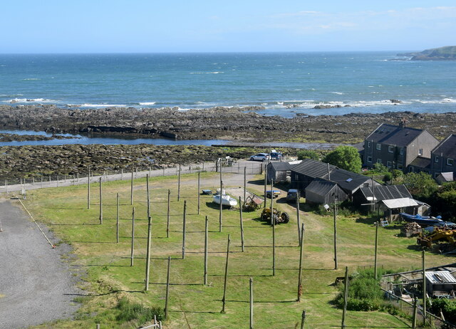
Access to Back Doo' Thirl is relatively straightforward, with a well-maintained footpath leading from the nearby village. The walk to the headland takes visitors through a picturesque coastal landscape, with stunning views of the sea and the rugged cliffs. As a popular destination for nature lovers and hikers, the area is equipped with designated viewing platforms, benches, and informative signage.
Back Doo' Thirl is not only a natural wonder but also a testament to Scotland's rich history. The headland has been a site of human activity for centuries, with archaeological evidence suggesting that it was once used as a lookout point during medieval times. Today, it continues to enchant visitors with its awe-inspiring beauty and captivating coastal charm.
If you have any feedback on the listing, please let us know in the comments section below.
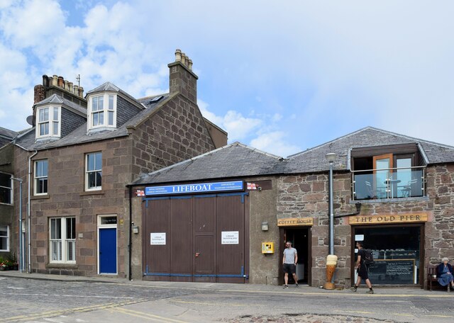
Back Doo' Thirl Images
Images are sourced within 2km of 56.956546/-2.1981388 or Grid Reference NO8885. Thanks to Geograph Open Source API. All images are credited.

Back Doo' Thirl is located at Grid Ref: NO8885 (Lat: 56.956546, Lng: -2.1981388)
Unitary Authority: Aberdeenshire
Police Authority: North East
What 3 Words
///joked.advances.bandstand. Near Stonehaven, Aberdeenshire
Nearby Locations
Related Wikis

Strathlethan Bay
Strathlethan Bay is on the North Sea coast of Aberdeenshire, Scotland just south of Stonehaven. To the north is Downie Point near which lies Stonehaven...
Downie Point
Downie Point is a prominent headland located at the southern edge of Stonehaven Bay in Aberdeenshire, Scotland. (United Kingdom, 2004) From the Stonehaven...
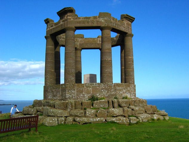
Stonehaven War Memorial
Stonehaven War Memorial is a war memorial situated on Black Hill overlooking Stonehaven in Scotland. == History == The memorial was designed by a Stonehaven...

Dunnicaer
Dunnicaer, or Dun-na-caer, is a precipitous sea stack just off the coast of Aberdeenshire, Scotland, between Dunnottar Castle and Stonehaven. Despite the...
Nearby Amenities
Located within 500m of 56.956546,-2.1981388Have you been to Back Doo' Thirl?
Leave your review of Back Doo' Thirl below (or comments, questions and feedback).