Cout Stone
Coastal Feature, Headland, Point in Kincardineshire
Scotland
Cout Stone
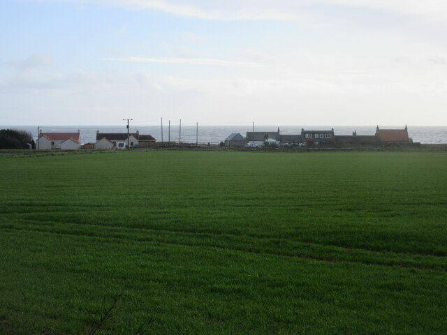
Cout Stone is a prominent coastal feature located in Kincardineshire, Scotland. It is classified as a headland or point, jutting out into the North Sea. The headland is situated approximately 8 miles south of Stonehaven and 20 miles north of Montrose.
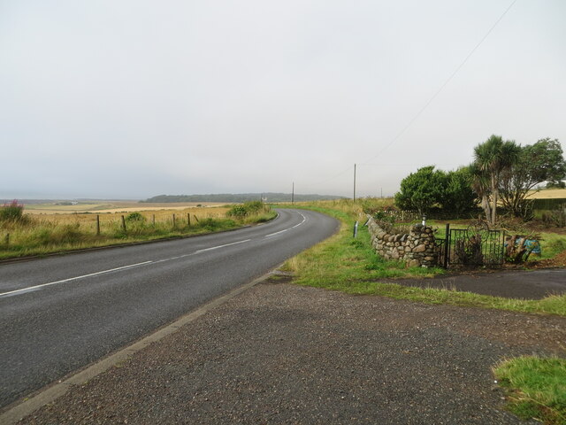
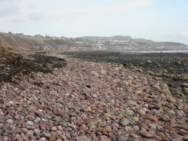
The Cout Stone headland is characterized by its rugged and rocky terrain, with cliffs that rise steeply from the sea. The coastline surrounding the headland is known for its dramatic beauty, offering stunning views of the North Sea and the surrounding landscape. The area is a popular destination for nature enthusiasts, hikers, and photographers.
One of the most distinctive features of Cout Stone is the large, solitary rock that stands proudly on the headland. This rock, after which the headland is named, is said to resemble a person wearing a cloak, hence its local nickname, the "Cloaked Figure." The Cout Stone rock is a prominent landmark and can be seen from miles away.
The headland is also known for its diverse wildlife. The surrounding waters are home to a variety of marine life, including seals, dolphins, and seabirds. Birdwatchers often visit Cout Stone to observe species such as puffins, guillemots, and razorbills that nest in the cliffs.
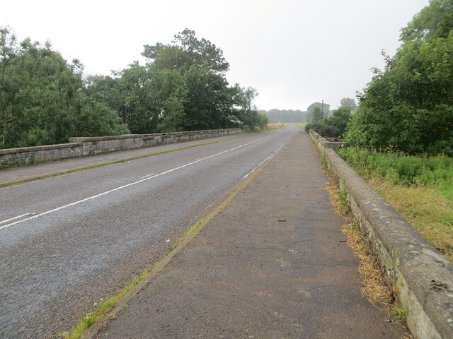
Cout Stone is easily accessible via a coastal trail that offers breathtaking views along the way. The headland provides a peaceful and serene environment, making it an ideal spot for relaxation, picnics, and enjoying the stunning natural surroundings.
If you have any feedback on the listing, please let us know in the comments section below.
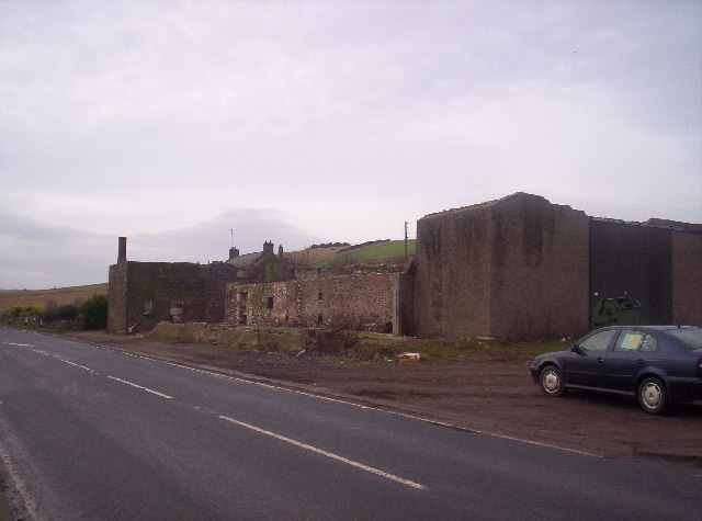
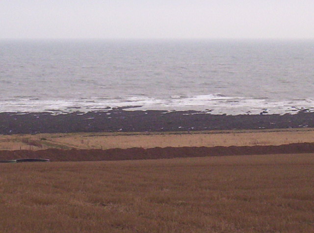
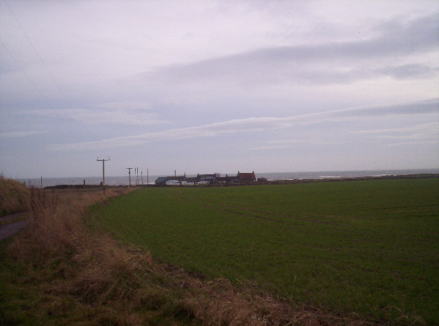
Cout Stone Images
Images are sourced within 2km of 56.821595/-2.2912161 or Grid Reference NO8270. Thanks to Geograph Open Source API. All images are credited.


Cout Stone is located at Grid Ref: NO8270 (Lat: 56.821595, Lng: -2.2912161)
Unitary Authority: Aberdeenshire
Police Authority: North East
What 3 Words
///functions.useful.jumps. Near Inverbervie, Aberdeenshire
Nearby Locations
Related Wikis
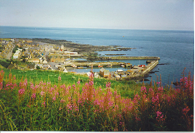
Gourdon, Aberdeenshire
Gourdon () nicknamed Gurdin by the population, is a coastal fishing village in Aberdeenshire, Scotland, south of Inverbervie and north of Johnshaven, with...

Gourdon railway station (NBR)
Gourdon railway station served the village of Gourdon, Aberdeenshire, Scotland from 1865 to 1951 on the Montrose and Bervie Railway. == History == The...

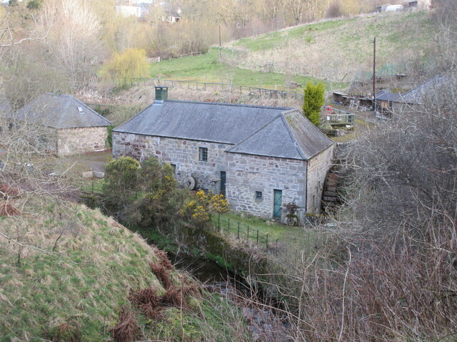
Benholm Mill
Benholm Mill in Kincardineshire, Scotland, is a restored and fully working water-powered meal mill. It is sited in ancient woodland near Johnshaven (13...

Benholm
Benholm is a small settlement in Aberdeenshire, Scotland, UK. It is now a conservation area and is home to Benholm Mill.The A92 passes the eastern edge...

Birnie Road Halt railway station
Birnie Road Halt railway station served the settlement of Benholm, Aberdeenshire, Scotland from 1865 to 1966 on the Montrose and Bervie Railway. ��2�...

Inverbervie
Inverbervie (from Scottish Gaelic: Inbhir Biorbhaidh or Biorbhaigh, "mouth of the River Bervie") is a small town on the north-east coast of Scotland, south...

Inverbervie railway station
Bervie railway station served the town of Inverbervie, Aberdeenshire, Scotland from 1865 to 1966 on the Montrose and Bervie Railway. == History == The...

Inverbervie Town House
Inverbervie Town House is a municipal structure in Church Street in Inverbervie, Aberdeenshire, Scotland. The structure, which is primarily used as a public...
Nearby Amenities
Located within 500m of 56.821595,-2.2912161Have you been to Cout Stone?
Leave your review of Cout Stone below (or comments, questions and feedback).