Ewe Lairs

Coastal Feature, Headland, Point in Berwickshire

Scotland

Ewe Lairs

Clifftop View near Old Cambus A windy but bright day on the coast south of Pease Bay. The strength of the wind can be gauged by the smoke coming from Dunbar cement works. Also seen is Berwick Law, Torness Power Station and the Bass Rock.
Clifftop View near Old Cambus Credit: Adam Ward

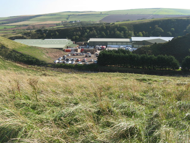
Ewe Lairs is a prominent coastal feature located in Berwickshire, Scotland. It is a headland that extends into the North Sea, forming a point that juts out into the water. The name "Ewe Lairs" is derived from the old Scottish word "ewe," meaning cliff, and "lairs," meaning lairs or resting places.

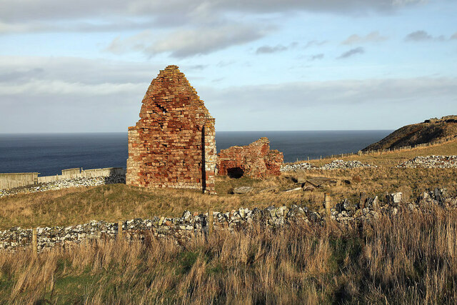
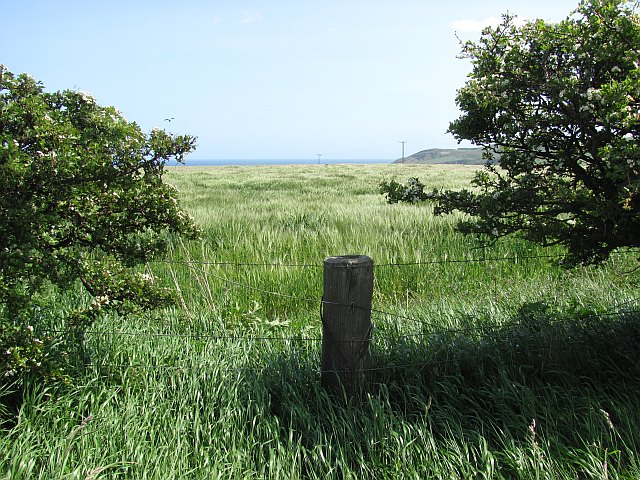
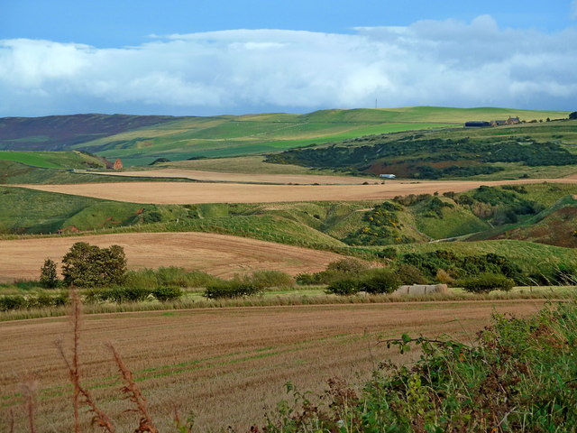
This picturesque headland is known for its dramatic cliffs and rugged terrain, which make it a popular destination for hikers, nature enthusiasts, and photographers. The cliffs at Ewe Lairs offer breathtaking panoramic views of the surrounding coastline, including stunning vistas of the North Sea and the nearby Berwickshire coast.

The headland is characterized by its rocky outcrops, which provide nesting sites for numerous seabird species such as kittiwakes, fulmars, and guillemots. These cliffs also serve as a natural habitat for a variety of marine life, including seals, dolphins, and porpoises, making it an ideal spot for wildlife watching.

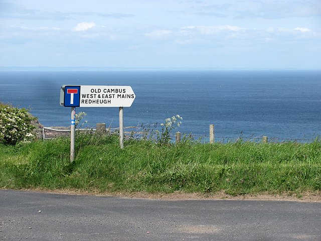
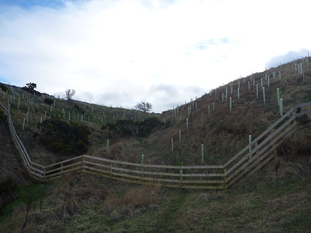
Ewe Lairs is easily accessible by foot, with several well-marked trails leading to the headland. These paths wind through the coastal landscape, offering visitors the opportunity to explore the area's diverse flora and fauna. The headland is also home to a small, sandy beach, where visitors can relax and enjoy the tranquil surroundings.

Overall, Ewe Lairs in Berwickshire is a remarkable coastal feature that boasts stunning cliffs, diverse wildlife, and breathtaking views. Whether it is for hiking, birdwatching, or simply enjoying the beauty of nature, Ewe Lairs offers a memorable experience for all who visit.

If you have any feedback on the listing, please let us know in the comments section below.

Ewe Lairs Images

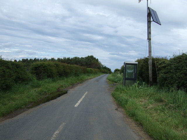
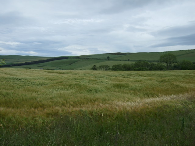
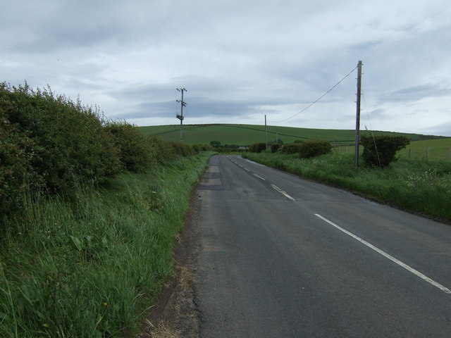
Images are sourced within 2km of 55.933155/-2.3382429 or Grid Reference NT7871. Thanks to Geograph Open Source API. All images are credited.
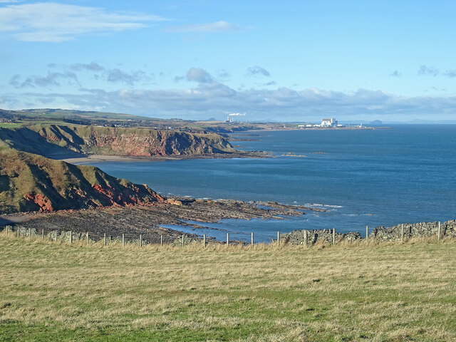
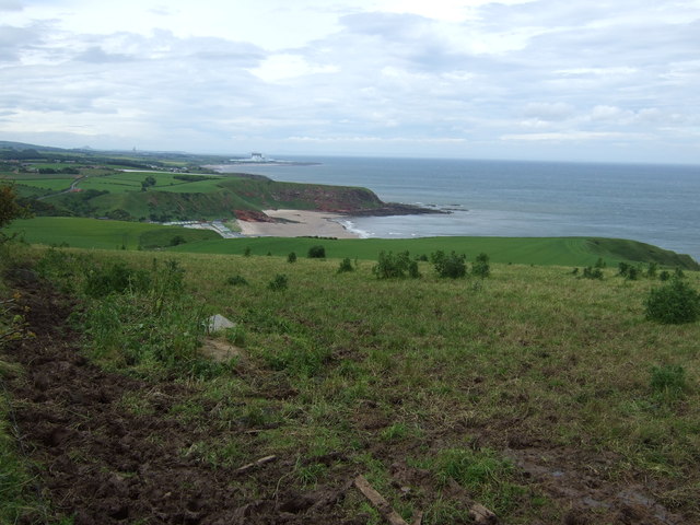
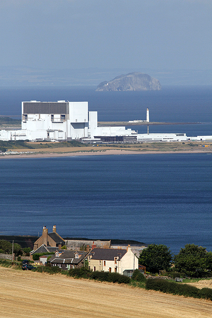
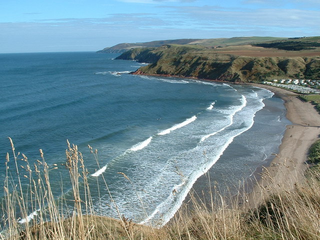
Clifftop View near Old Cambus A windy but bright day on the coast south of Pease Bay. The strength of the wind can be gauged by the smoke coming from Dunbar cement works. Also seen is Berwick Law, Torness Power Station and the Bass Rock.
Clifftop View near Old Cambus
A windy but bright day on the coast south of Pease Bay. The strength of the wind can be gauged by the smoke coming from Dunbar cement works. Also seen is Berwick Law, Torness Power Station and the Bass Rock.
The remains of St Helen’s Church This red sandstone ruin is the former parish church of Old Cambus. Some 18th century gravestones are on the south side of the church remains. The building was also known as St Helena’s Chapel.
The remains of St Helen’s Church
This red sandstone ruin is the former parish church of Old Cambus. Some 18th century gravestones are on the south side of the church remains. The building was also known as St Helena’s Chapel.
Barley, Old Cambus Ripening barley below Penmanshiel Moor.
Barley, Old Cambus
Ripening barley below Penmanshiel Moor.
St Helen's Church, Old Cambus This red sandstone ruin is the former parish church of Old Cambus. Some 18th century gravestones are on the south side of the church remains. The building was also known as St Helena’s Chapel.
St Helen's Church, Old Cambus
This red sandstone ruin is the former parish church of Old Cambus. Some 18th century gravestones are on the south side of the church remains. The building was also known as St Helena’s Chapel.
Barley, Old Cambus
Barley, Old Cambus
Road sign, Hog's Law A distant view of the East Neuk of Fife.
Road sign, Hog's Law
A distant view of the East Neuk of Fife.
St Helen's Church, Old Cambus The remains of the old church can be seen en route to Siccar Point. The Scottish Wildlife Trust Pease Dean Reserve is in the deep wooded valley over the gable.
St Helen's Church, Old Cambus
The remains of the old church can be seen en route to Siccar Point. The Scottish Wildlife Trust Pease Dean Reserve is in the deep wooded valley over the gable.
James Hutton and Siccar Point Information board at the start of the walk to Siccar Point, the site of James Hutton's discovery of the geological unconformity that allowed him to confirm his idea that the earth was much, much older than the biblical age of 6000 years.
James Hutton and Siccar Point
Information board at the start of the walk to Siccar Point, the site of James Hutton's discovery of the geological unconformity that allowed him to confirm his idea that the earth was much, much older than the biblical age of 6000 years.
The Berwickshire Coast Looking northwest towards Torness nuclear power station [on the right horizon] from the path to Siccar Point.
The Berwickshire Coast
Looking northwest towards Torness nuclear power station [on the right horizon] from the path to Siccar Point.
Drysdales at Old Cambus One of Scotland's largest processors of vegetables, especially swedes, leeks and brussels sprouts, with a throughput of around 14000 tonnes a year.
Drysdales at Old Cambus
One of Scotland's largest processors of vegetables, especially swedes, leeks and brussels sprouts, with a throughput of around 14000 tonnes a year.
View over Meikle Black Law, East Lothian.
Coastal Berwickshire : Low Tide at Greenheugh Point Looking east towards Siccar Point and Fast Castle Head.
Coastal Berwickshire : Low Tide at Greenheugh Point
Looking east towards Siccar Point and Fast Castle Head.
Coastal Berwickshire : Tree Planting In Gully To East of Greenheugh Point
Farmland near Delgany With views towards Pease Bay and Torness.
Farmland near Delgany
With views towards Pease Bay and Torness.
Minor road towards Old Cambus
Crop field near Delgany
A1107 towards Coldingham
Old Cambus West Mains Torness Power Station, Barns Ness Lighthouse and the Bass Rock are in the background in this view from the A1107.
Old Cambus West Mains
Torness Power Station, Barns Ness Lighthouse and the Bass Rock are in the background in this view from the A1107.
Show me another place!

Ewe Lairs is located at Grid Ref: NT7871 (Lat: 55.933155, Lng: -2.3382429)

Unitary Authority: The Scottish Borders

Police Authority: The Lothians and Scottish Borders

What 3 Words

///massaging.port.century. Near Dunbar, East Lothian

Related Wikis

Pease Bay

Pease Bay is a bay situated around 9 miles southeast of Dunbar, in the Scottish Borders area of Scotland, close to the border with East Lothian as well...

Pease Dean

Pease Dean is a nature reserve at Pease Bay, in the Scottish Borders area of Scotland, near the Anglo-Scottish border and Cockburnspath, Cove, and Dunglass...

Cove, Scottish Borders

Cove is a village in the Scottish Borders area of Scotland,18 mi (29 km) northwest of the Scotland/England border. It is about 36 miles (58 kilometres...

Berwickshire Coastal Path

The Berwickshire Coastal Path is a walking route some 48 kilometres (30 mi) long. It follows the eastern coastline of Scotland from Cockburnspath in the...

Nearby Amenities

Located within 500m of 55.933155,-2.3382429
Noexit: yes
Lat/Long: 55.9316101/-2.344979
Noexit: yes
Lat/Long: 55.930556/-2.3390955
Noexit: yes
Lat/Long: 55.9315251/-2.3452163
Power: pole
Lat/Long: 55.9287533/-2.3396398
Power: pole
Lat/Long: 55.9291604/-2.340747
Power: pole
Lat/Long: 55.9295578/-2.3418369
Power: pole
Lat/Long: 55.929948/-2.3428946
Power: pole
Lat/Long: 55.9303021/-2.3438599
Power: pole
Lat/Long: 55.9306597/-2.3448531
Power: pole
Lat/Long: 55.9291965/-2.3394485
Power: pole
Lat/Long: 55.9296325/-2.3392701
Power: pole
Lat/Long: 55.9300564/-2.3390873
Power: pole
Lat/Long: 55.9315485/-2.3457302
The data included in this document is from www.openstreetmap.org. The data is made available under ODbL.

Have you been to Ewe Lairs?

Leave your review of Ewe Lairs below (or comments, questions and feedback).