Eastern Hole
Coastal Feature, Headland, Point in Berwickshire
Scotland
Eastern Hole
Eastern Hole is a prominent coastal feature located in Berwickshire, Scotland. It is known for its stunning cliffs and dramatic landscapes that make it a popular destination for nature enthusiasts and hikers. Situated on the east coast of Scotland, Eastern Hole is part of a series of headlands and points that dot the coastline.
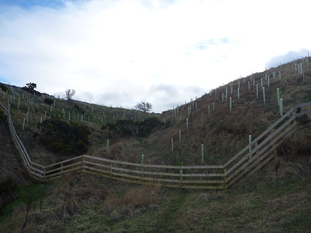
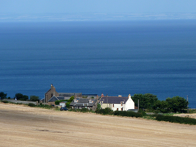
The headland is characterized by its rugged beauty and sheer cliffs that tower above the North Sea, offering breathtaking views of the surrounding area. The cliffs are made up of layers of sedimentary rocks, which have been shaped by the relentless force of the crashing waves over thousands of years.
Eastern Hole is also renowned for its diverse wildlife and rich ecosystems. The area is home to a variety of seabirds, including puffins, guillemots, and kittiwakes, which nest on the cliffs during the breeding season. Visitors can often spot seals and dolphins swimming in the waters below, adding to the allure of this coastal gem.
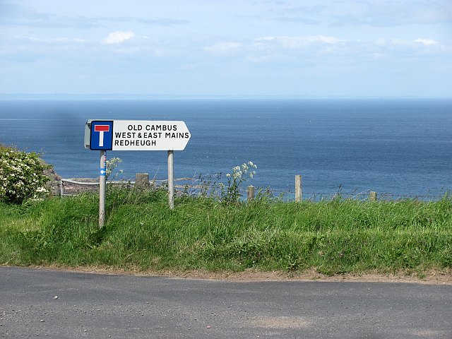
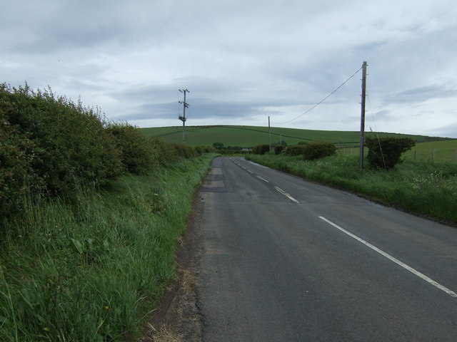
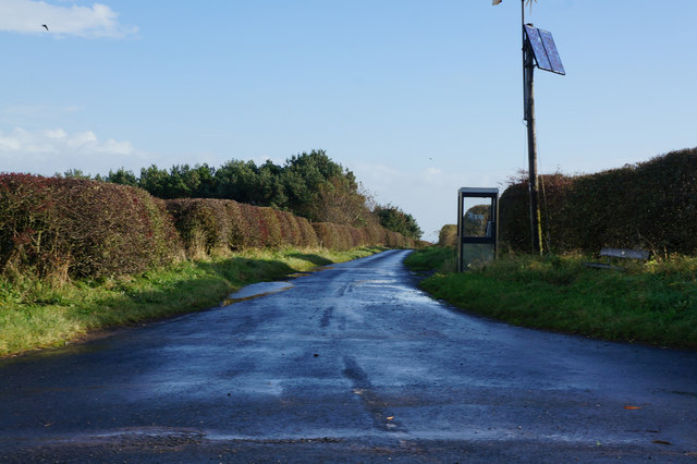
The headland is accessible via a network of footpaths that wind through the surrounding countryside, providing visitors with opportunities to explore the area on foot. Hikers can follow trails that lead to viewpoints overlooking Eastern Hole, offering panoramic vistas of the sea and the surrounding coastline.
Overall, Eastern Hole in Berwickshire is a captivating coastal feature that showcases the raw beauty of Scotland's eastern coast. Its towering cliffs, diverse wildlife, and picturesque landscapes make it a must-visit destination for nature lovers and outdoor enthusiasts.
If you have any feedback on the listing, please let us know in the comments section below.
Eastern Hole Images
Images are sourced within 2km of 55.936867/-2.3378431 or Grid Reference NT7871. Thanks to Geograph Open Source API. All images are credited.
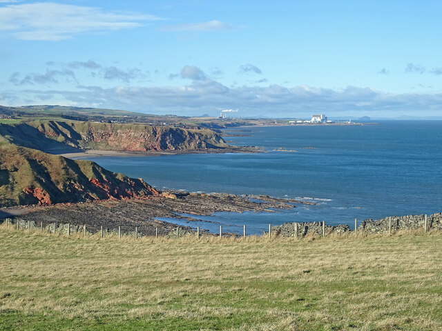
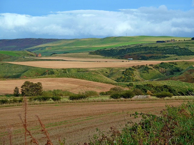
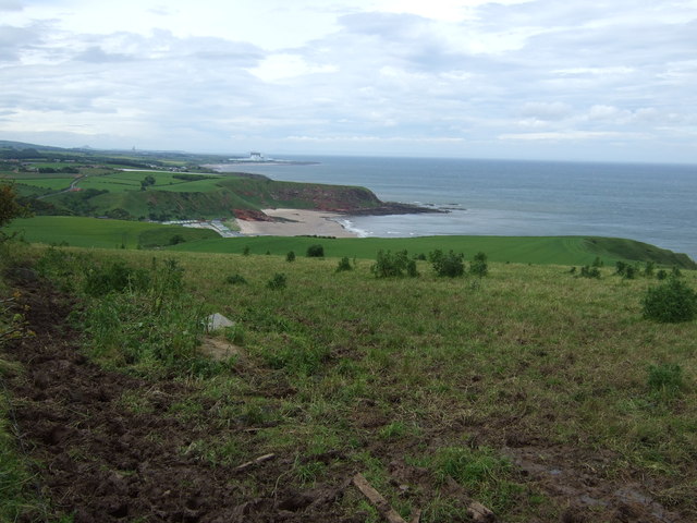
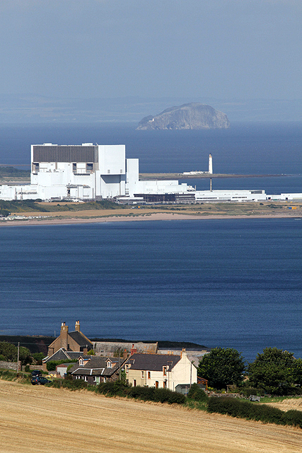
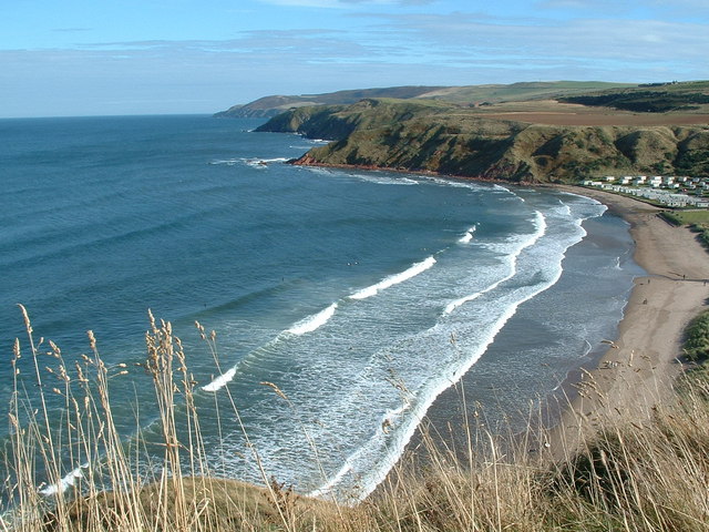
![The Berwickshire Coast Looking northwest towards Torness nuclear power station [on the right horizon] from the path to Siccar Point.](https://s2.geograph.org.uk/geophotos/02/62/52/2625206_a3409b55.jpg)

Eastern Hole is located at Grid Ref: NT7871 (Lat: 55.936867, Lng: -2.3378431)
Unitary Authority: The Scottish Borders
Police Authority: The Lothians and Scottish Borders
What 3 Words
///investors.liberty.march. Near Dunbar, East Lothian
Nearby Locations
Related Wikis
Pease Bay
Pease Bay is a bay, situated miles southeast of Dunbar, in the Scottish Borders area of Scotland, close to the border with East Lothian as well as Cockburnspath...

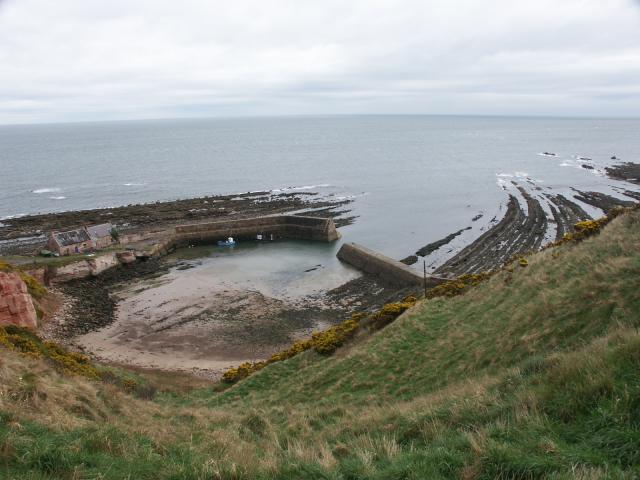
Cove, Scottish Borders
Cove is a village in the Scottish Borders area of Scotland,18 mi (29 km) northwest of the Scotland/England border. It is about 36 miles (58 kilometres...

Pease Dean
Pease Dean is a nature reserve at Pease Bay, in the Scottish Borders area of Scotland, near the Anglo-Scottish border and Cockburnspath, Cove, and Dunglass...

Cockburnspath railway station
Cockburnspath railway station served the village of Cockburnspath, Berwickshire, Scotland from 1846 to 1951 on the East Coast Main Line. == History... ==

Berwickshire Coastal Path
The Berwickshire Coastal Path is a walking route some 48 kilometres (30 mi) long. It follows the eastern coastline of Scotland from Cockburnspath in the...
Cockburnspath
Cockburnspath ( KOH-bərnz-pa(h)th; Scots: Co’path) is a village in the Scottish Borders area of Scotland. It lies near the North Sea coast between Berwick...

Dunglass Castle, East Lothian
Dunglass Castle was a castle at Dunglass in East Lothian, Scotland. It was a seat of the Home family and frequently visited by the Stewart kings. A fortification...

Dunglass Collegiate Church
Dunglass Collegiate Church is situated in south-east East Lothian just off the old A1 highway, one mile north of Cockburnspath in Berwickshire, Scotland...
Related Videos

Pease Bay Leisure Park - Berwickshire, Scotland
Pease Bay is a beautiful beachfront caravan park, nestled into the Berwickshire coast. Offering holiday homes ownership and ...

Berwickshire Coastal Path. Day 1 - Cockburnspath to Coldingham Bay.
First day of two on the Berwickshire Coastal Path. Starting in Cockburnspath and ending at Berwick upon Tweed it's approximately ...
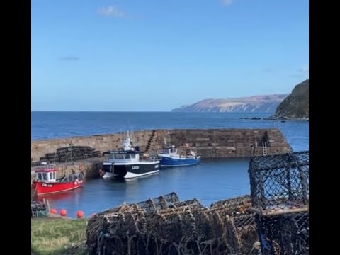
Cove Harbour , North England coastline #travel #beach #vanlife #adventure
A beautiful stop off to stretch my legs before my journey back home , amazing unspoilt peaceful place.
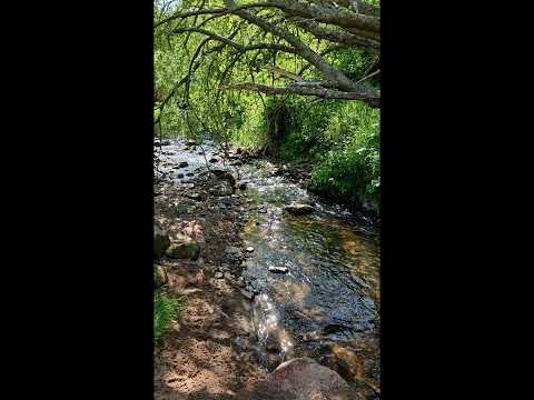
Stunning views at Please Dean in the Scottish borders.
Stunning views at Please Dean in the Scottish borders. Trail running, Trail cycling and hiking. Mountain biking. Pease Dean ...
Nearby Amenities
Located within 500m of 55.936867,-2.3378431Have you been to Eastern Hole?
Leave your review of Eastern Hole below (or comments, questions and feedback).