Hawk's Heugh
Cliff, Slope in Berwickshire
Scotland
Hawk's Heugh
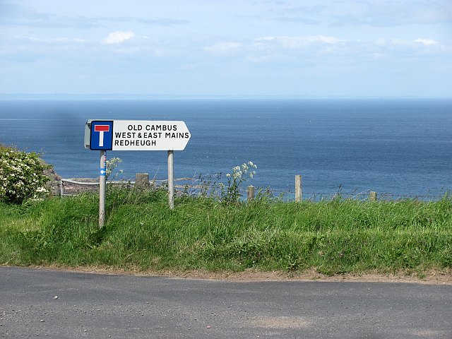
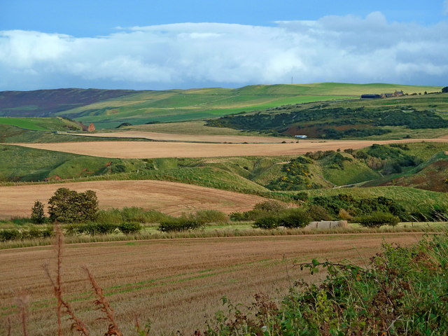
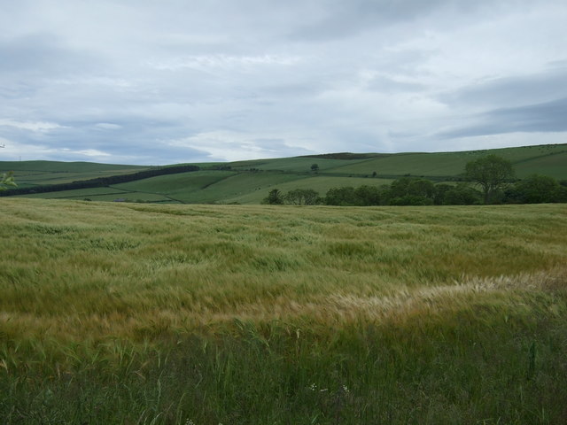
Hawk's Heugh is a prominent cliff located in Berwickshire, Scotland. Rising dramatically from the North Sea, it stands at an impressive height of approximately 200 feet (60 meters). Known for its rugged beauty and breathtaking views, Hawk's Heugh is a popular destination for nature enthusiasts and hikers.
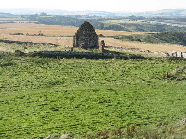
The cliff is composed of layers of sedimentary rock, which have been exposed over time due to erosion caused by the pounding waves of the sea. The distinct layers in the rock formation offer a glimpse into the geological history of the area, with each layer representing a different period of time.
Hawk's Heugh is home to a diverse range of flora and fauna, with various seabird colonies nesting on its steep slopes. Species such as guillemots, puffins, and razorbills can be spotted in abundance during the breeding season. The cliff also provides a habitat for other coastal birds, including gulls and cormorants.
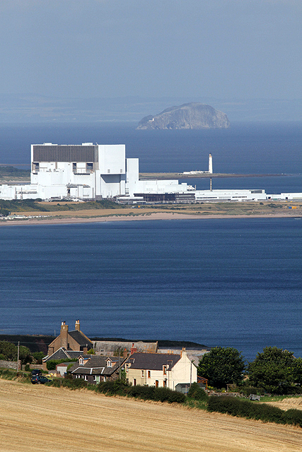
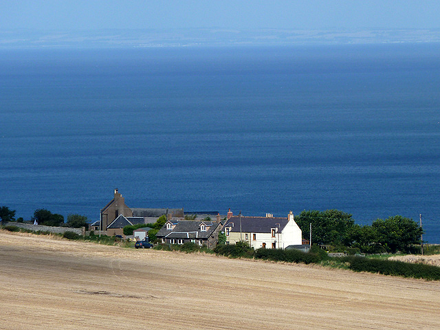
Visitors to Hawk's Heugh can enjoy panoramic views of the surrounding coastline, which stretches as far as the eye can see. On a clear day, it is possible to spot other landmarks, such as the nearby St Abb's Head Nature Reserve and the Bass Rock, a famous seabird sanctuary.
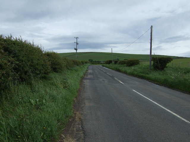
Due to its exposed location, Hawk's Heugh can be subject to strong winds and harsh weather conditions. Therefore, it is advisable for visitors to take appropriate safety precautions and wear suitable clothing when exploring the area.
Overall, Hawk's Heugh is a remarkable cliff that offers a unique blend of natural beauty, geological interest, and wildlife diversity, making it a must-visit destination for those seeking an unforgettable experience in Berwickshire.
If you have any feedback on the listing, please let us know in the comments section below.
Hawk's Heugh Images
Images are sourced within 2km of 55.934755/-2.3380008 or Grid Reference NT7871. Thanks to Geograph Open Source API. All images are credited.
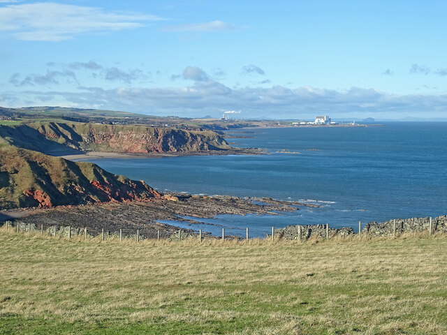
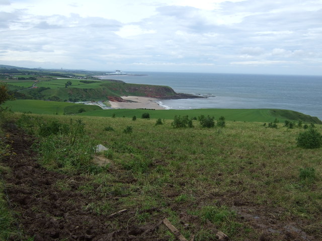
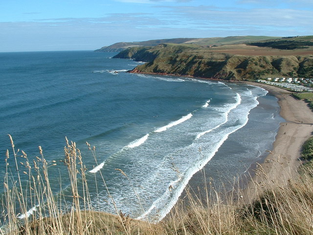
![The Berwickshire Coast Looking northwest towards Torness nuclear power station [on the right horizon] from the path to Siccar Point.](https://s2.geograph.org.uk/geophotos/02/62/52/2625206_a3409b55.jpg)

Hawk's Heugh is located at Grid Ref: NT7871 (Lat: 55.934755, Lng: -2.3380008)
Unitary Authority: The Scottish Borders
Police Authority: The Lothians and Scottish Borders
What 3 Words
///clinking.brink.knocking. Near Dunbar, East Lothian
Nearby Locations
Related Wikis
Pease Bay
Pease Bay is a bay, situated miles southeast of Dunbar, in the Scottish Borders area of Scotland, close to the border with East Lothian as well as Cockburnspath...

Pease Dean
Pease Dean is a nature reserve at Pease Bay, in the Scottish Borders area of Scotland, near the Anglo-Scottish border and Cockburnspath, Cove, and Dunglass...

Cove, Scottish Borders
Cove is a village in the Scottish Borders area of Scotland,18 mi (29 km) northwest of the Scotland/England border. It is about 36 miles (58 kilometres...

Berwickshire Coastal Path
The Berwickshire Coastal Path is a walking route some 48 kilometres (30 mi) long. It follows the eastern coastline of Scotland from Cockburnspath in the...
Cockburnspath
Cockburnspath ( KOH-bərnz-pa(h)th; Scots: Co’path) is a village in the Scottish Borders area of Scotland. It lies near the North Sea coast between Berwick...

Cockburnspath railway station
Cockburnspath railway station served the village of Cockburnspath, Berwickshire, Scotland from 1846 to 1951 on the East Coast Main Line. == History... ==

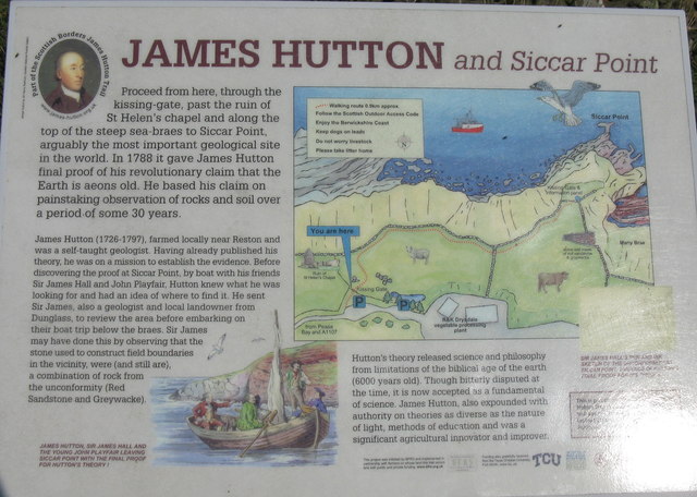
Siccar Point
Siccar Point is a rocky promontory in the county of Berwickshire on the east coast of Scotland. It is famous in the history of geology for Hutton's Unconformity...

Dunglass Castle, East Lothian
Dunglass Castle was a castle at Dunglass in East Lothian, Scotland. It was a seat of the Home family and frequently visited by the Stewart kings. A fortification...
Related Videos

Pease Bay Leisure Park - Berwickshire, Scotland
Pease Bay is a beautiful beachfront caravan park, nestled into the Berwickshire coast. Offering holiday homes ownership and ...

Berwickshire Coastal Path. Day 1 - Cockburnspath to Coldingham Bay.
First day of two on the Berwickshire Coastal Path. Starting in Cockburnspath and ending at Berwick upon Tweed it's approximately ...
New Holiday Lodge pease bay . Scotland , East Coast Golfing holidays
New holiday lodge being craned on to front view at pease bay . East Coast , Scotland .

Walking with Donald - Dunbar to Dunglass - Part Four of Four
Walking with Donald - Dunbar to Dunglass - Part Four of Four The John Muir Trail Dunbar to Dunglass to Cockburnspath - East ...
Nearby Amenities
Located within 500m of 55.934755,-2.3380008Have you been to Hawk's Heugh?
Leave your review of Hawk's Heugh below (or comments, questions and feedback).