Ship Geo
Coastal Feature, Headland, Point in Orkney
Scotland
Ship Geo

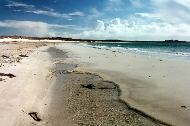
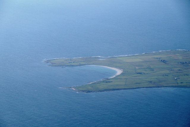
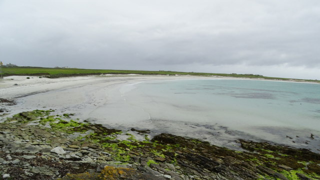
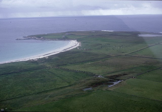
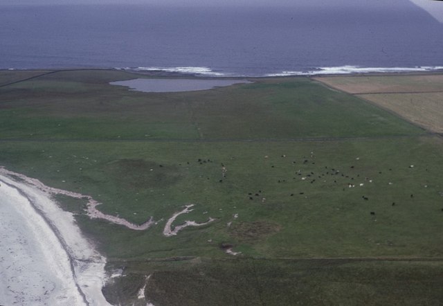
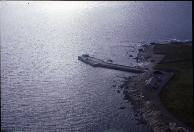
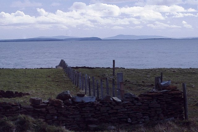
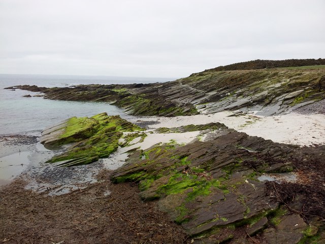
Ship Geo is a prominent coastal feature located in Orkney, an archipelago in Scotland. Situated on the eastern coast of the main island, this notable headland projects out into the North Sea, forming a distinct point that offers stunning views and geological significance.
The name "Ship Geo" originates from the Old Norse word "geirr," meaning a triangular-shaped piece of land. The headland indeed exhibits a triangular shape, jutting out into the sea and creating a natural boundary between two nearby bays. Its strategic position has made it an important landmark for seafarers and a point of reference for navigation.
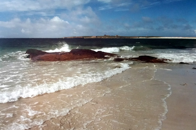
The geological composition of Ship Geo is primarily composed of sandstone, which is a common rock type in the area. This sandstone headland showcases distinct layers and patterns, displaying the natural forces that have shaped the landscape over millions of years. Erosion from wind, waves, and tides has sculpted the cliffs, resulting in the rugged and textured appearance that defines Ship Geo.
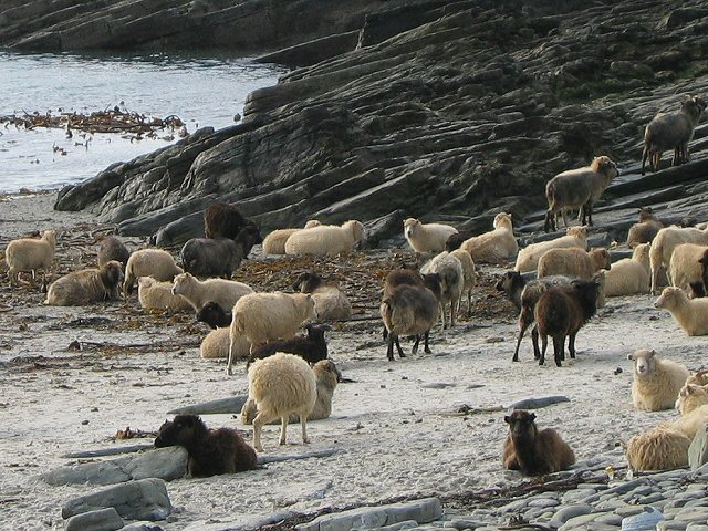
Along with its geological significance, Ship Geo also holds ecological importance. The headland provides a habitat for various seabird species, such as fulmars, guillemots, and kittiwakes, which nest along the cliffs. These bird colonies contribute to the area's biodiversity and attract nature enthusiasts and birdwatchers from around the world.
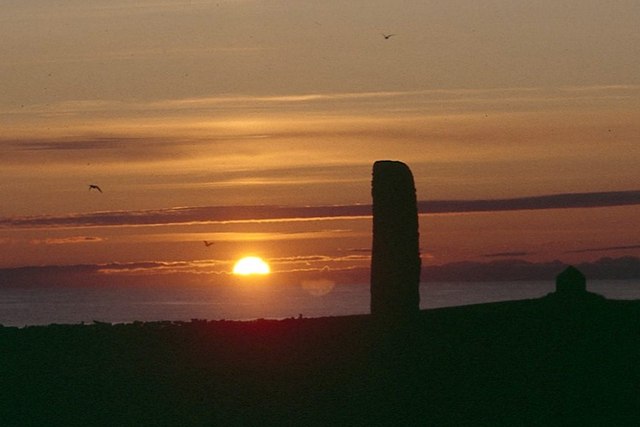
Ship Geo's unique geological features, breathtaking views, and diverse wildlife make it a popular destination for visitors seeking to explore the natural wonders of Orkney. Whether it's admiring the dramatic coastline, observing the seabird colonies, or simply enjoying the tranquility of the surroundings, Ship Geo offers a captivating experience for all who venture to this remarkable coastal feature.
If you have any feedback on the listing, please let us know in the comments section below.
Ship Geo Images
Images are sourced within 2km of 59.347837/-2.4177871 or Grid Reference HY7651. Thanks to Geograph Open Source API. All images are credited.


Ship Geo is located at Grid Ref: HY7651 (Lat: 59.347837, Lng: -2.4177871)
Unitary Authority: Orkney Islands
Police Authority: Highlands and Islands
What 3 Words
///bandwagon.gloom.position. Near Hollandstoun, Orkney Islands
Nearby Locations
Related Wikis

Broch of Burrian
The Broch of Burrian is an Iron Age broch located on North Ronaldsay in the Orkney Islands, in Scotland (grid reference HY76275138). == Location == The...
Bustatoun
Bustatoun is a village on the island of North Ronaldsay, in Orkney, Scotland. The settlement is within the parish of Cross and Burness. == References... ==

North Ronaldsay Airport
North Ronaldsay Airport (IATA: NRL, ICAO: EGEN) is located on North Ronaldsay island, 28 NM (52 km; 32 mi) northeast by north of Kirkwall, Orkney Islands...

Ancumtoun
Ancumtoun is a small settlement in the north of the island of North Ronaldsay, Orkney, Scotland. The settlement is within the parish of Cross and Burness...
Nearby Amenities
Located within 500m of 59.347837,-2.4177871Have you been to Ship Geo?
Leave your review of Ship Geo below (or comments, questions and feedback).