Strom Ness

Coastal Feature, Headland, Point in Orkney

Scotland

Strom Ness

Holland House from Nouster, North Ronaldsay
Holland House from Nouster, North Ronaldsay Credit: Mike Pennington

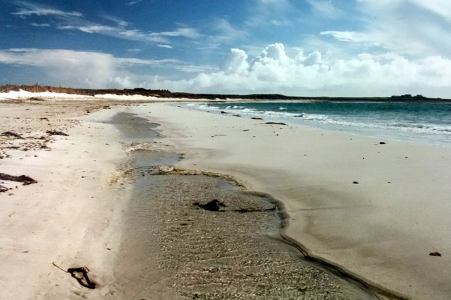
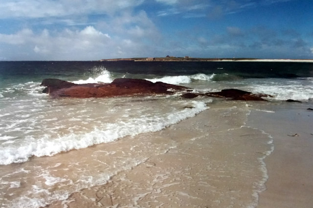
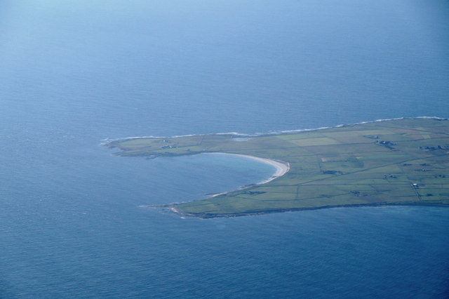
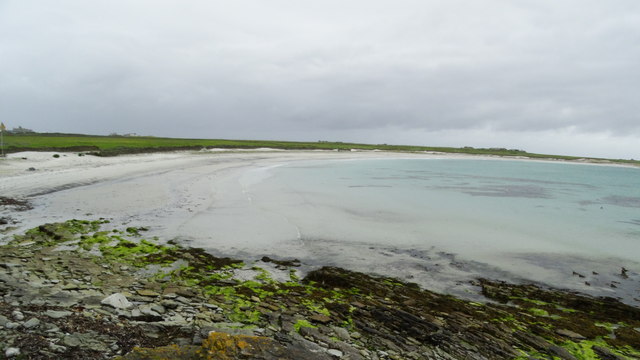
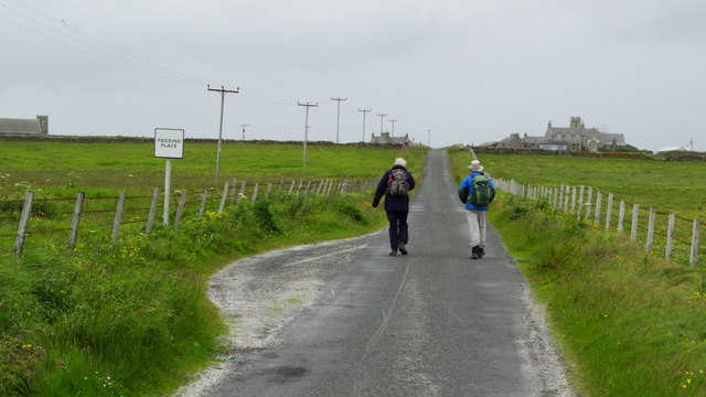
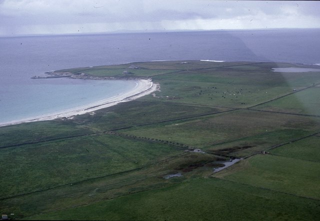
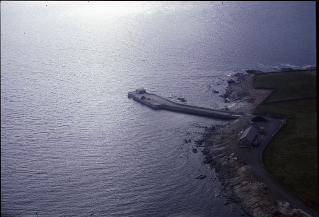
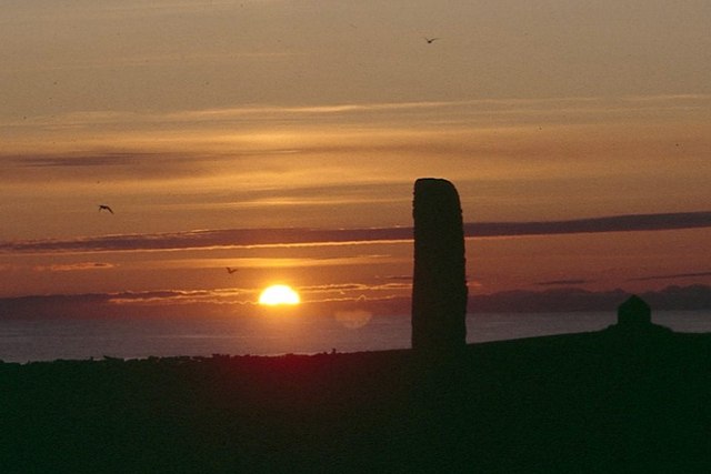
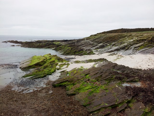
Strom Ness is a prominent headland located on the north coast of Orkney, Scotland. Situated near the town of Stromness, it stands as a striking feature on the rugged coastline overlooking the North Atlantic Ocean. The headland is known for its dramatic cliffs, which rise steeply from the sea, creating a stunning coastal landscape.

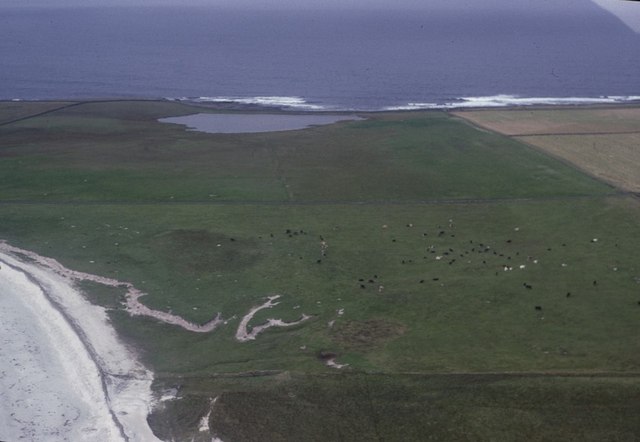
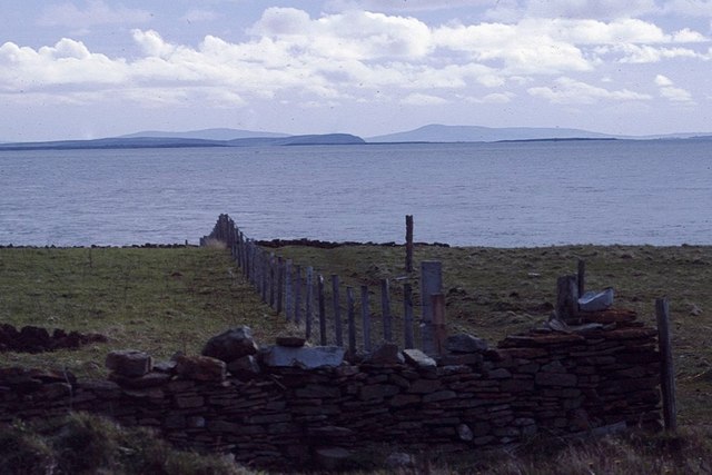
The area surrounding Strom Ness is characterized by its rich natural beauty and diverse wildlife. The headland offers breathtaking panoramic views of the ocean, with the nearby islands of Graemsay and Hoy visible in the distance. These views, combined with the crashing waves against the cliffs, make Strom Ness a popular spot for photographers and nature enthusiasts.

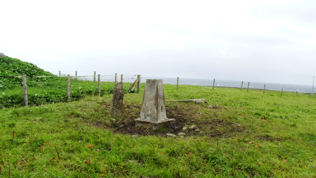
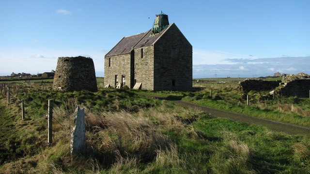
The headland is also significant from a historical perspective. It is believed to have been inhabited since prehistoric times, with archaeological remains indicating human activity dating back thousands of years. Strom Ness is home to several ancient structures, including burial mounds and standing stones, which provide insight into the lives of the people who once lived in the area.

Due to its exposed location on the coast, Strom Ness experiences strong winds and rough sea conditions, making it a challenging place for navigation. However, this also makes it an ideal location for birdwatching, as the headland attracts a wide variety of seabirds, including puffins, guillemots, and fulmars.

Overall, Strom Ness is a captivating coastal feature that combines stunning natural beauty, rich history, and diverse wildlife. Its striking cliffs, panoramic views, and archaeological significance make it a must-visit destination for those exploring the Orkney Islands.

If you have any feedback on the listing, please let us know in the comments section below.

Strom Ness Images

Images are sourced within 2km of 59.348842/-2.4206656 or Grid Reference HY7651. Thanks to Geograph Open Source API. All images are credited.

Holland House from Nouster, North Ronaldsay
Nouster Bay, North Ronaldsay Although named South Bay on OS maps, this is known as Nouster Bay locally.
Nouster Bay, North Ronaldsay
Although named South Bay on OS maps, this is known as Nouster Bay locally.
Nouster Bay, North Ronaldsay Looking across towards the pier; although named South Bay on OS maps, the bay is known as Nouster Bay locally.
Nouster Bay, North Ronaldsay
Looking across towards the pier; although named South Bay on OS maps, the bay is known as Nouster Bay locally.
South Bay, North Ronaldsay, from the air
Off loading cars from MV Earl Sigard at North Ronaldsay North Ronaldsay is the only inhabited island in the Orkney Islands where vehicles need to be craned off and on.
Off loading cars from MV Earl Sigard at North Ronaldsay
North Ronaldsay is the only inhabited island in the Orkney Islands where vehicles need to be craned off and on.
On North Ronaldsay - South Bay
On North Ronaldsay - walking from the jetty towards Holland
On North Ronaldsay - Trig point at Holland
Old mills at Nesstoun, North Ronaldsay The large building is a watermill, built in 1907 to replace another nearby. The conical stump is the base of Peckhouse Windmill which had a wooden upper structure.
Old mills at Nesstoun, North Ronaldsay
The large building is a watermill, built in 1907 to replace another nearby. The conical stump is the base of Peckhouse Windmill which had a wooden upper structure.
Haskie Taing and Bridesness, North Ronaldsay, from the air
Nouster Bay, North Ronaldsay, from the air Named South Bay on the maps but known as Nouster Bay on the island. Twingness and Loch Gretchen are in the background.
Nouster Bay, North Ronaldsay, from the air
Named South Bay on the maps but known as Nouster Bay on the island. Twingness and Loch Gretchen are in the background.
Dunes behind Nouster Bay, North Ronaldsay, from the air Loch Gretchen is in the background.
Dunes behind Nouster Bay, North Ronaldsay, from the air
Loch Gretchen is in the background.
North Ronaldsay pier from the air
View to the rest of Orkney from North Ronaldsay From near the Bird Observatory, looking towards, if I remember correctly, Sanday, Eday and Rousay.
View to the rest of Orkney from North Ronaldsay
From near the Bird Observatory, looking towards, if I remember correctly, Sanday, Eday and Rousay.
Midsummer sunset at the North Ronaldsay standing stone There appears to be no significance to the alignment of the stone according to the solstice, although the stone does appear to aligned with the setting sun at the equinox.
Midsummer sunset at the North Ronaldsay standing stone
There appears to be no significance to the alignment of the stone according to the solstice, although the stone does appear to aligned with the setting sun at the equinox.
Remains Of Stone Shelter This is a view along the damaged sea wall near the remains of a stone shelter beside the sheepfold on North Ronaldsay.
Remains Of Stone Shelter
This is a view along the damaged sea wall near the remains of a stone shelter beside the sheepfold on North Ronaldsay.
Coastal View Near North Ronaldsay Pier
Pier at North Ronaldsay
Show me another place!

Strom Ness is located at Grid Ref: HY7651 (Lat: 59.348842, Lng: -2.4206656)

Unitary Authority: Orkney Islands

Police Authority: Highlands and Islands

What 3 Words

///sharpens.mutual.bike. Near Hollandstoun, Orkney Islands

Related Wikis

Broch of Burrian

The Broch of Burrian is an Iron Age broch located on North Ronaldsay in the Orkney Islands, in Scotland (grid reference HY76275138). == Location == The...

Bustatoun

Bustatoun is a village on the island of North Ronaldsay, in Orkney, Scotland. The settlement is within the parish of Cross and Burness. == References... ==

North Ronaldsay Airport

North Ronaldsay Airport (IATA: NRL, ICAO: EGEN) is located on North Ronaldsay island, 28 NM (52 km; 32 mi) northeast by north of Kirkwall, Orkney Islands...

Ancumtoun

Ancumtoun is a small settlement in the north of the island of North Ronaldsay, Orkney, Scotland. The settlement is within the parish of Cross and Burness...

Nearby Amenities

Located within 500m of 59.348842,-2.4206656
Created By: almien_coastlines mod
Lat/Long: 59.351376/-2.41555
Broch of Burrian
Historic: archaeological_site
Wikidata: Q15108049
Wikipedia: en:Broch of Burrian
Lat/Long: 59.3480729/-2.4189244
Point of Burrian
Place: locality
Lat/Long: 59.3476855/-2.4183048
Power: pole
Lat/Long: 59.3528959/-2.4215932
Power: pole
Lat/Long: 59.3523818/-2.4222745
The data included in this document is from www.openstreetmap.org. The data is made available under ODbL.

Have you been to Strom Ness?

Leave your review of Strom Ness below (or comments, questions and feedback).