Geo of Toftsness

Coastal Feature, Headland, Point in Orkney

Scotland

Geo of Toftsness

Whalehead WWII Chain Home radar station (Reserve site) Isle of Sanday, Orkney
Whalehead WWII Chain Home radar station (Reserve site) Credit: J M Briscoe

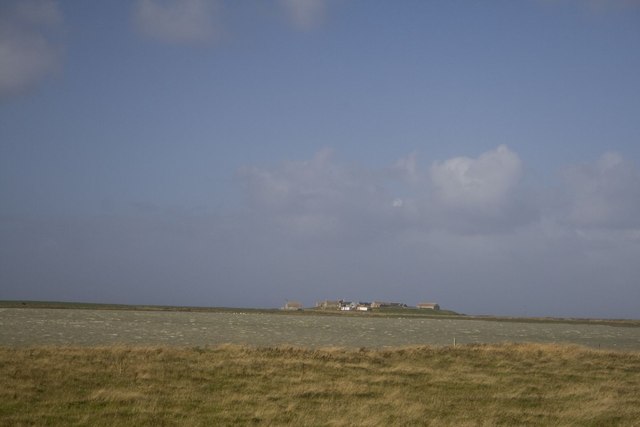
Geo of Toftsness is a prominent coastal feature located on the northeastern coast of Orkney, an archipelago in Scotland. It is specifically identified as a headland or point due to its unique geographical characteristics.

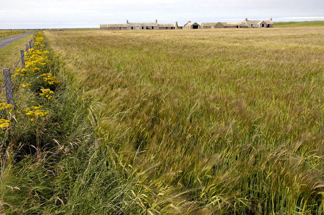
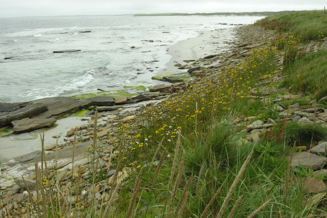
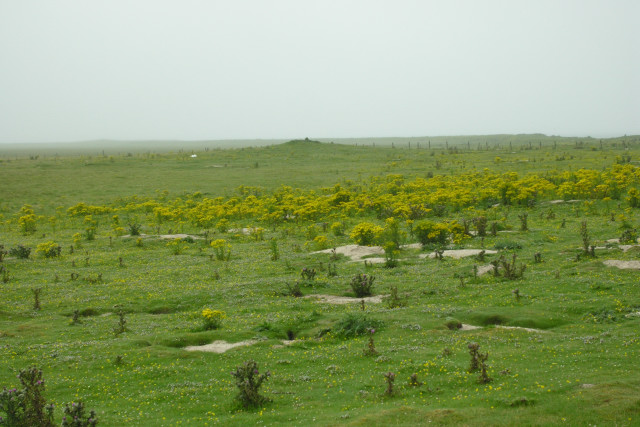
Situated near the village of Toftsness, the geo is formed by the erosive power of the North Sea, which has carved a steep and rugged cliff face into the coastline. The cliff stands tall, offering breathtaking panoramic views of the surrounding area. The top of the headland is relatively flat and covered in lush grass, providing a picturesque setting for visitors to enjoy.

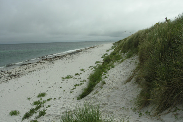
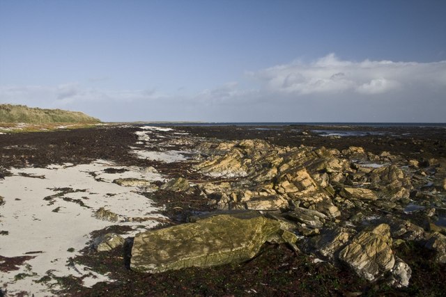
The geo itself is a narrow inlet or cleft in the cliff face, created by the relentless pounding of the waves over thousands of years. It is often deep and narrow, with vertiginous sides that plunge into the sea. The swirling waters within the geo are a testament to the immense power of the ocean, which continues to shape and reshape the coastline.

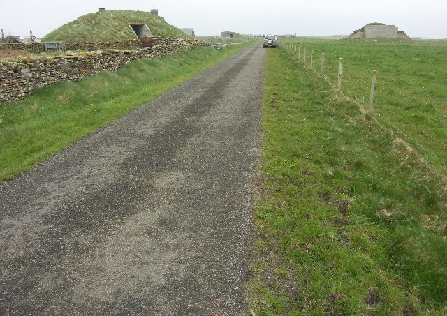
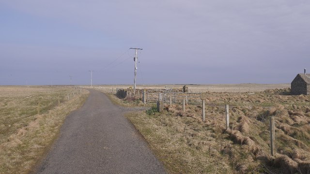
Access to Geo of Toftsness is possible via a footpath that winds its way down the cliff, providing an opportunity for hikers and nature enthusiasts to explore this stunning coastal feature up close. The rocky shores surrounding the geo are home to a diverse range of marine life, making it a popular spot for wildlife enthusiasts and birdwatchers.

Overall, Geo of Toftsness is a captivating and dramatic headland, showcasing the raw power of nature and offering a unique glimpse into the geological history of Orkney.

If you have any feedback on the listing, please let us know in the comments section below.

Geo of Toftsness Images

Images are sourced within 2km of 59.312717/-2.4201137 or Grid Reference HY7647. Thanks to Geograph Open Source API. All images are credited.

Whalehead WWII Chain Home radar station (Reserve site) Isle of Sanday, Orkney
Whalehead WWII Chain Home radar station (Reserve site)
Isle of Sanday, Orkney
Galilee Deserted houses in the north-east of Sanday
Galilee
Deserted houses in the north-east of Sanday
Field roller at gateside, in the northwest of Sanday Sandy field in background shows why the Vikings named the island Sanday (= sand island)
Field roller at gateside, in the northwest of Sanday
Sandy field in background shows why the Vikings named the island Sanday (= sand island)
South end of Bay of Sowerdie Looking along a shell sand bay with Start Point lighthouse in the far distance.
South end of Bay of Sowerdie
Looking along a shell sand bay with Start Point lighthouse in the far distance.
Looking South to the Bay of Sowerdie The Bay of Sowerdie is flanked to the North and South by sandstone bedrock outcrops.
Looking South to the Bay of Sowerdie
The Bay of Sowerdie is flanked to the North and South by sandstone bedrock outcrops.
Geo of Toftsness, in the rain The bedrock reef, Geo of Toftsness, is about to disappear in a bank of foggy drizzle. To seaward of the rocks is the North Ronaldsay Firth.
Geo of Toftsness, in the rain
The bedrock reef, Geo of Toftsness, is about to disappear in a bank of foggy drizzle. To seaward of the rocks is the North Ronaldsay Firth.
Cairns on Tofts Ness, Sanday Looking South West, through fine drizzle, towards one of many cairns on this sandy headland of Sanday.
Cairns on Tofts Ness, Sanday
Looking South West, through fine drizzle, towards one of many cairns on this sandy headland of Sanday.
Galilee, Sanday, Orkney This cottage was being reconstructed at the time of our visit, complete with its own wind turbine.
Galilee, Sanday, Orkney
This cottage was being reconstructed at the time of our visit, complete with its own wind turbine.
Pund of Hindgreenie, Sanday, Orkney
North Loch, Sanday, Orkney With Tofts farm in the distance.
North Loch, Sanday, Orkney
With Tofts farm in the distance.
Cattle, Gleat Tofts Ness is a very flat sandy area.
Cattle, Gleat
Tofts Ness is a very flat sandy area.
Buildings, Gleat Towards Tofts Ness, Sanday.
Buildings, Gleat
Towards Tofts Ness, Sanday.
Road, Gleat The loop road to Tofts.
Road, Gleat
The loop road to Tofts.
North Loch, Sanday A large shallow loch on the links near Tofts. Popular with widgeon, teal and tufted ducks on this occasion.
North Loch, Sanday
A large shallow loch on the links near Tofts. Popular with widgeon, teal and tufted ducks on this occasion.
Galilee AKA The North Loch.  Shallow and popular with ducks.
Galilee
AKA The North Loch. Shallow and popular with ducks.
Road to Tofts,  Galilee
Road to Tofts, Galilee
Show me another place!

Geo of Toftsness is located at Grid Ref: HY7647 (Lat: 59.312717, Lng: -2.4201137)

Unitary Authority: Orkney Islands

Police Authority: Highlands and Islands

What 3 Words

///exhales.collect.betraying. Near Hollandstoun, Orkney Islands

Nearby Locations

Geo of Toftsness

Related Wikis

Broch of Burrian

The Broch of Burrian is an Iron Age broch located on North Ronaldsay in the Orkney Islands, in Scotland (grid reference HY76275138). == Location == The...

Bustatoun

Bustatoun is a village on the island of North Ronaldsay, in Orkney, Scotland. The settlement is within the parish of Cross and Burness. == References... ==

North Ronaldsay Airport

North Ronaldsay Airport (IATA: NRL, ICAO: EGEN) is located on North Ronaldsay island, 28 NM (52 km; 32 mi) northeast by north of Kirkwall, Orkney Islands...

East Sanday Coast

The East Sanday Coast is a protected wetland area on and around the island of Sanday, the third-largest of the Orkney islands off the north coast of Scotland...

Have you been to Geo of Toftsness?

Leave your review of Geo of Toftsness below (or comments, questions and feedback).