Basildon, Lower

Settlement in Berkshire

England

Basildon, Lower

Grazing near Goring
Grazing near Goring Credit: JThomas

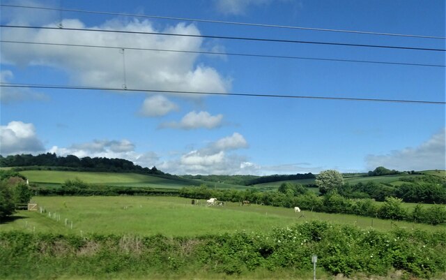
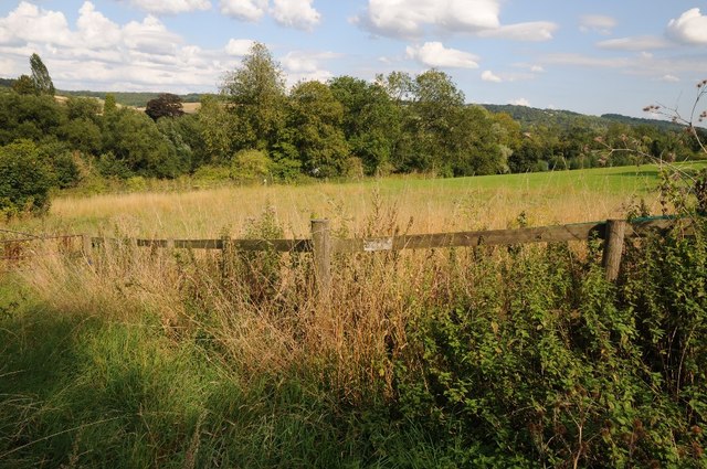
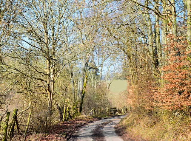
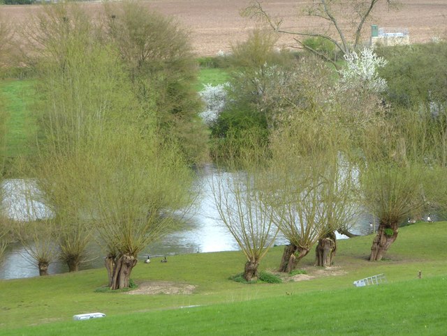
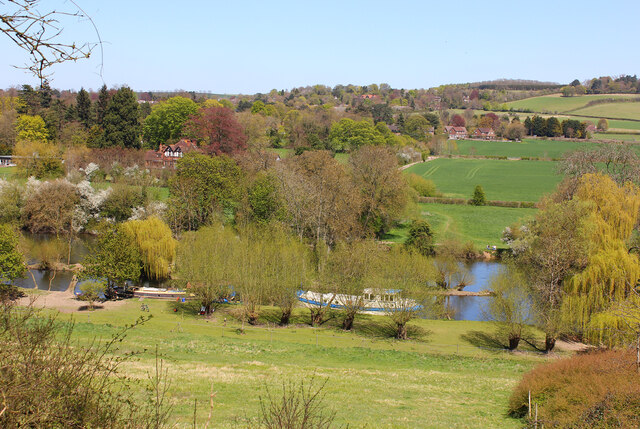
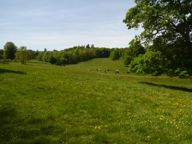
Basildon, Lower, Berkshire is a small village located in the county of Berkshire, England. Situated in the southern part of the county, Basildon is nestled amidst picturesque rolling hills and lush green fields. It is part of the larger civil parish of Basildon, which includes Upper Basildon as well.

The village is known for its charming rural character and tranquil atmosphere. Its population is relatively small, with just over a thousand residents. Basildon is primarily a residential area, with a scattering of traditional cottages and a few modern houses. The architecture of the village reflects its historical roots, with buildings dating back several centuries.

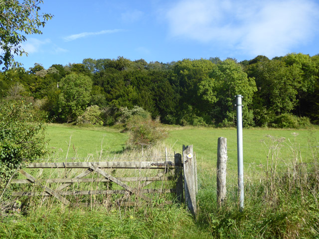
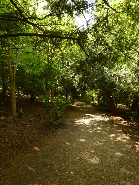
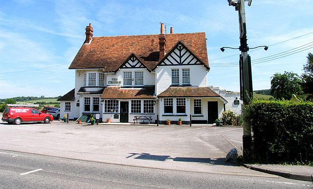
Despite its small size, Basildon has some amenities to offer its residents. There is a local pub, serving as a social hub for the community, and a village hall used for various events and gatherings. The surrounding countryside provides ample opportunities for outdoor activities such as walking, cycling, and horse riding.

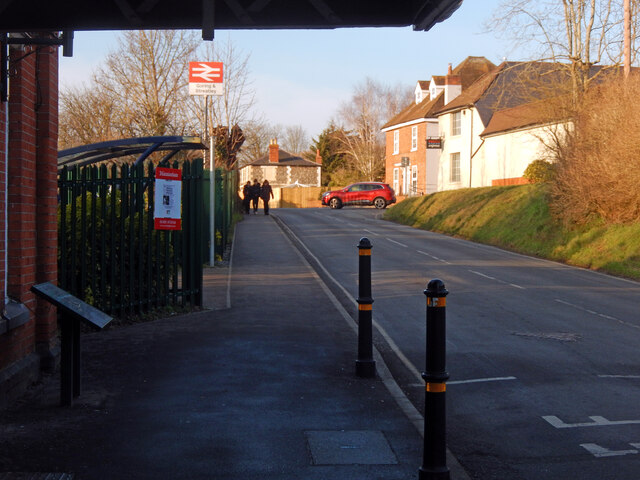
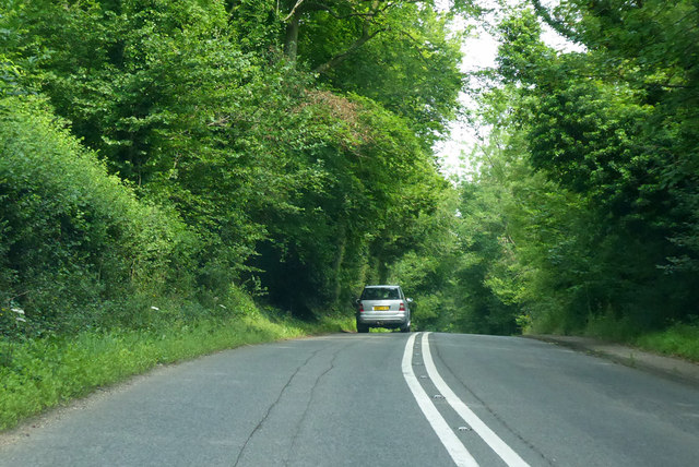
Basildon is conveniently located near major transportation routes, with easy access to the nearby towns of Reading and Newbury. This makes it an attractive option for commuters who seek a quieter lifestyle away from the hustle and bustle of urban centers.

Overall, Basildon, Lower, Berkshire offers a peaceful and idyllic setting, perfect for those seeking a close-knit community and a slower pace of life amidst the beauty of the English countryside.

If you have any feedback on the listing, please let us know in the comments section below.

Basildon, Lower Images

Images are sourced within 2km of 51.505682/-1.120337 or Grid Reference SU6178. Thanks to Geograph Open Source API. All images are credited.

Grazing near Goring
Grazing near Goring
Gatehampton Road, Goring This is the view of Goring anybody emerging from Goring & Streatley station gets. In this image the main station buildings, protected by a canopy, are on the immediate left with a covered cycle rack beyond. The late afternoon sunshine catches the buildings further up the road, including a former pub now a Tesco Express, while three teenage boys approach having finished school for the day. The National Rail sign, perched on top of a high pole, completes the scene. Although an ancient settlement, Goring began to develop when the railway arrived in the 1830s and is now a sizeable commuter village with a population in excess of 3,000. Streatley is a smaller place connected to Goring by a bridge over the River Thames.
Gatehampton Road, Goring
This is the view of Goring anybody emerging from Goring & Streatley station gets. In this image the main station buildings, protected by a canopy, are on the immediate left with a covered cycle rack beyond. The late afternoon sunshine catches the buildings further up the road, including a former pub now a Tesco Express, while three teenage boys approach having finished school for the day. The National Rail sign, perched on top of a high pole, completes the scene. Although an ancient settlement, Goring began to develop when the railway arrived in the 1830s and is now a sizeable commuter village with a population in excess of 3,000. Streatley is a smaller place connected to Goring by a bridge over the River Thames.
Farmland above the River Thames Farmland above the River Thames, south of Streatley.
Farmland above the River Thames
Farmland above the River Thames, south of Streatley.
Country lane, Lower Basildon, Berkshire
Old pollard willows on the river bank, downstream from Streatley There are some very ancient-looking  pollard willows along this stretch of the Thames.  These are on private land, so I took a zoom shot from close to the A329.

These trees also appear in Bill Nicholls' contribution <a href="https://www.geograph.org.uk/photo/1592751">SU5979 : Island in the river</a> near the right-hand margin.
Old pollard willows on the river bank, downstream from Streatley
There are some very ancient-looking pollard willows along this stretch of the Thames. These are on private land, so I took a zoom shot from close to the A329. These trees also appear in Bill Nicholls' contribution SU5979 : Island in the river near the right-hand margin.
Footpath towards Harley Hill Wood No stile, just a narrow gap past the gate.
Footpath towards Harley Hill Wood
No stile, just a narrow gap past the gate.
A329 towards Streatley Passing Holies Walk Wood.
A329 towards Streatley
Passing Holies Walk Wood.
A329, Reading Road towards Streatley
River Thames The River Thames at Goring.
River Thames
The River Thames at Goring.
Edge of the Terrace, Basildon Park An ornamental wall at the edge of the formal garden on the east side of Basildon House.
Edge of the Terrace, Basildon Park
An ornamental wall at the edge of the formal garden on the east side of Basildon House.
Basildon Park A traditional bit of country house parkland with grazing and strategically placed trees.
This is actually several closely planted trees all growing together into a single canopy.
Basildon Park
A traditional bit of country house parkland with grazing and strategically placed trees. This is actually several closely planted trees all growing together into a single canopy.
View across Basildon Park The north west bit of the park viewed from near the house.
View across Basildon Park
The north west bit of the park viewed from near the house.
The approach to Basildon House
Parkland at Basildon Park
Path through the woods at Basildon Park
Petrol station on the A329, Lower Basildon
Gate in Basildon Park The gates in Basildon Park are a mixture of sturdy new wooden ones put in by the National Trust, and some of these older ironwork ones with varying amounts of decorative curls and knobs depending on their importance.
Gate in Basildon Park
The gates in Basildon Park are a mixture of sturdy new wooden ones put in by the National Trust, and some of these older ironwork ones with varying amounts of decorative curls and knobs depending on their importance.
Harecroft Wood near Streatley
Show me another place!

Basildon, Lower is located at Grid Ref: SU6178 (Lat: 51.505682, Lng: -1.120337)

Unitary Authority: West Berkshire

Police Authority: Thames Valley

What 3 Words

///fells.crumb.many. Near Goring, Oxfordshire

Related Wikis

Lower Basildon

Lower Basildon is a small English village in the civil parish of Basildon, near Pangbourne, in the county of Berkshire. == Amenities == === Shops and... ===

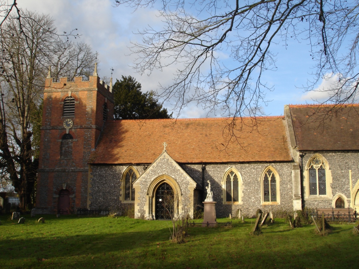
St Bartholomew's Church, Lower Basildon

St Bartholomew's Church is the redundant Church of England parish church of Basildon in the English county of Berkshire. It lies in the hamlet of Lower...

A329 road

The A329 is an east–west road in Southern England that runs from Wentworth in Surrey to Thame in Oxfordshire. == Route == The A329 starts at the A30 in...

Hartslock

Hartslock, also known as Hartslock Woods, is a 41.8-hectare (103-acre) biological Site of Special Scientific Interest (SSSI) in a wooded area on the north...
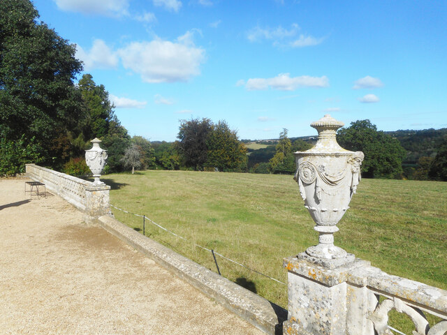
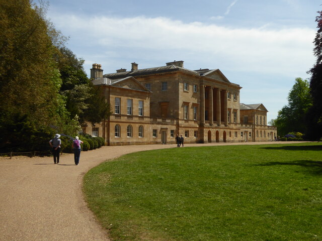
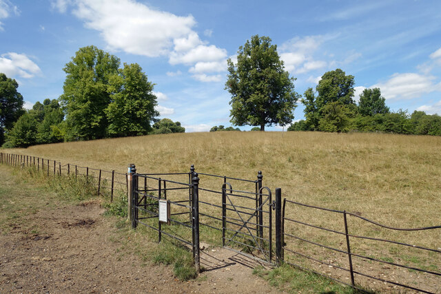
Basildon Park

Basildon Park is a country house situated 2 miles (3 kilometres) south of Goring-on-Thames and Streatley in Berkshire, between the villages of Upper Basildon...

Gatehampton Railway Bridge

Gatehampton Railway Bridge, otherwise referred to as Gatehampton Viaduct, is a railway bridge carrying the Great Western Main Line over the River Thames...

Beale Wildlife Park

Beale Wildlife Park is situated by the River Thames, between the villages of Pangbourne and Lower Basildon in Berkshire, England. It has three main areas...

Basildon, Berkshire

Basildon is a civil parish in the English county of Berkshire. It comprises the small villages of Upper Basildon and Lower Basildon, named for their respective...

Nearby Amenities

Located within 500m of 51.505682,-1.120337
Lower Basildon
Place: village
Source: local_knowledge
Wikidata: Q6693313
Wikipedia: en:Lower Basildon
Lat/Long: 51.5051276/-1.1220126
Entrance: yes
Foot: yes
Lat/Long: 51.5015033/-1.1228613
Barrier: entrance
Lat/Long: 51.5020268/-1.1189778
Entrance: yes
Lat/Long: 51.5089597/-1.1200606
Jethro Tull
Historic: monument
Lat/Long: 51.5089783/-1.1198856
Location Transition: yes
Material: wood
Power: pole
Lat/Long: 51.5074801/-1.1245262
Material: wood
Power: pole
Lat/Long: 51.5036372/-1.1186957
Material: wood
Power: pole
Lat/Long: 51.5055939/-1.121107
Location Transition: yes
Power: pole
Lat/Long: 51.5062233/-1.1218661
Post Box
Collection Times: Mo-Fr 16:00; Sa 09:00
Operator: Royal Mail
Ref: RG8 258
Lat/Long: 51.5051772/-1.1235122
Bike Parking
Lat/Long: 51.5018267/-1.1222696
The data included in this document is from www.openstreetmap.org. The data is made available under ODbL.

Have you been to Basildon, Lower?

Leave your review of Basildon, Lower below (or comments, questions and feedback).