Beardly Batch
Settlement in Somerset Mendip
England
Beardly Batch

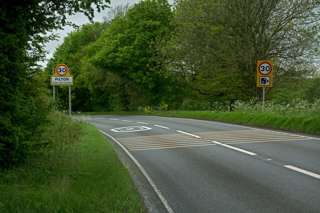
Beardly Batch is a small village located in Somerset, a county in southwestern England. Situated in the Mendip Hills, this picturesque village is known for its stunning natural beauty and tranquil atmosphere. With a population of around 300 residents, Beardly Batch offers a close-knit community feel.
Surrounded by lush green fields and rolling hills, the village is a popular destination for nature lovers and outdoor enthusiasts. The area boasts numerous walking trails, providing opportunities for residents and visitors to explore the stunning countryside. From the village, one can enjoy breathtaking panoramic views of the surrounding landscape.
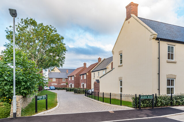
The village itself is characterized by its charming traditional cottages, many of which date back several centuries. Its quaint, rustic appearance adds to the overall charm of Beardly Batch. The village also features a small but well-maintained village green, where locals often gather for community events and activities.
Although Beardly Batch is a predominantly residential area, there are a few amenities available to residents. These include a local pub, which serves as a meeting place for villagers and visitors alike, and a small convenience store for everyday essentials. For more extensive shopping and entertainment options, the nearby town of Cheddar is easily accessible.
Overall, Beardly Batch offers a peaceful and idyllic setting for those seeking a rural retreat. Its natural beauty, welcoming community, and proximity to stunning countryside make it a desirable location for those looking to escape the hustle and bustle of city life.
If you have any feedback on the listing, please let us know in the comments section below.
Beardly Batch Images
Images are sourced within 2km of 51.166973/-2.544864 or Grid Reference ST6241. Thanks to Geograph Open Source API. All images are credited.


Beardly Batch is located at Grid Ref: ST6241 (Lat: 51.166973, Lng: -2.544864)
Administrative County: Somerset
District: Mendip
Police Authority: Avon and Somerset
What 3 Words
///country.suspended.gathers. Near Shepton Mallet, Somerset
Nearby Locations
Related Wikis

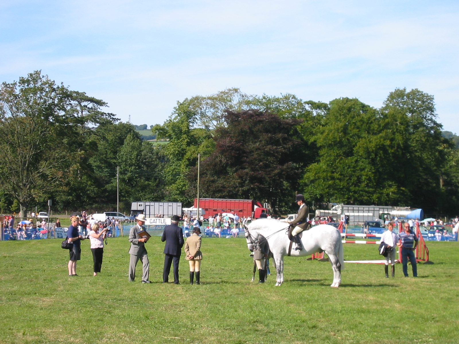
Royal Bath and West of England Society
The Royal Bath and West of England Society is a charitable society founded in 1777 to promote and improve agriculture and related activities around the...
Royal Bath and West Show
The Royal Bath and West is an agricultural show for the West of England. Held every year at its permanent show ground near Shepton Mallet, Somerset, it...
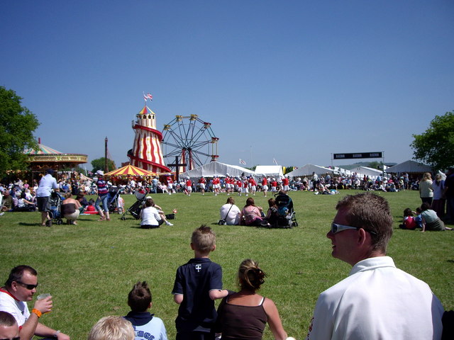
Mid-Somerset Show
The Mid-Somerset Show, also known as Shepton Show, is a one-day agricultural show held annually in August on a site at Shepton Mallet, Somerset, England...
Pylle railway station
Pylle railway station was a station on the Highbridge branch of the Somerset and Dorset Joint Railway. Opened 3 February 1862 on the original S&DJR main...

Shepton Mallet (High Street) railway station
Shepton Mallet (High Street) was a railway station on the East Somerset Railway, serving the town of Shepton Mallet in the English county of Somerset....
Shepton Mallet (Charlton Road) railway station
Shepton Mallet (Charlton Road) was a station on the Somerset and Dorset Joint Railway in the county of Somerset in England. Opened as Shepton Mallet on...

Mendip Vale railway station
Mendip Vale is the western terminus of the East Somerset Railway. == Services == All trains terminate at Mendip Vale, with a 5-10 minute wait while the...
Whitstone School
Whitstone School is a specialist school located in Shepton Mallet, Somerset, England, and educates students aged between 11 and 16. The school has been...
Nearby Amenities
Located within 500m of 51.166973,-2.544864Have you been to Beardly Batch?
Leave your review of Beardly Batch below (or comments, questions and feedback).