Johnston's Hole
Coastal Feature, Headland, Point in East Lothian
Scotland
Johnston's Hole
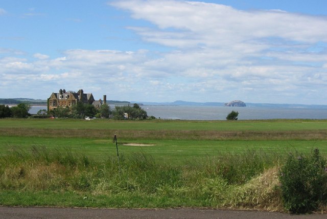
Johnston's Hole is a prominent coastal feature located in East Lothian, Scotland. Situated on a headland, it is a picturesque point that offers stunning views of the North Sea. The area is known for its rugged beauty, with jagged cliffs and rocky outcrops that have been shaped by the relentless force of the ocean over centuries.
The name "Johnston's Hole" is believed to originate from a local fisherman named Johnston who used to frequent this spot. The hole refers to a natural geological formation in the cliff face, which resembles a small cave or crevice. This feature adds to the allure of the area, attracting both nature enthusiasts and photographers.
The headland on which Johnston's Hole is located provides a perfect vantage point for observing the surrounding coastline. On clear days, visitors can see as far as the Bass Rock, a famous seabird sanctuary. The headland is also home to a diverse range of wildlife, including various species of seabirds such as gulls and fulmars.
The rocky terrain of Johnston's Hole makes it an ideal spot for coastal exploration and rock pooling. During low tide, visitors can venture down to the shoreline to discover an array of marine life, from crabs and starfish to small fish and anemones. However, caution is advised as the area can become treacherous and slippery when wet.
Overall, Johnston's Hole is a captivating coastal feature that showcases the raw beauty of East Lothian's coastline. Its unique geological formations, breathtaking vistas, and abundant wildlife make it a must-visit destination for nature lovers and outdoor enthusiasts alike.
If you have any feedback on the listing, please let us know in the comments section below.
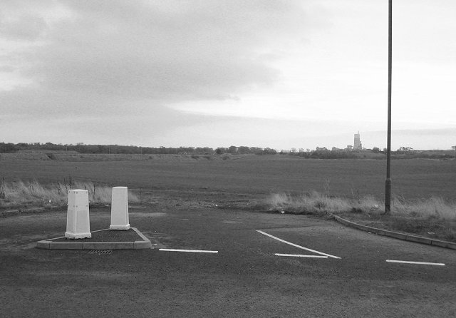
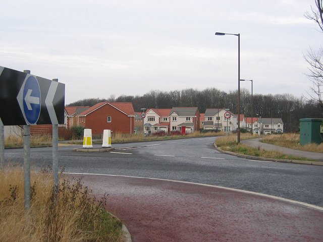
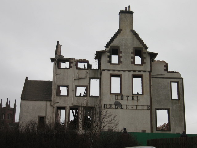
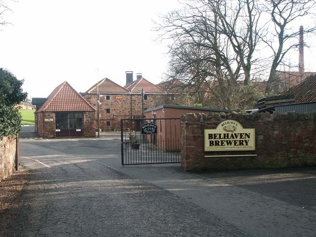
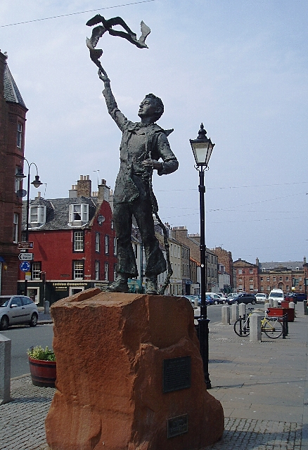
Johnston's Hole Images
Images are sourced within 2km of 56.006823/-2.5166826 or Grid Reference NT6779. Thanks to Geograph Open Source API. All images are credited.


Johnston's Hole is located at Grid Ref: NT6779 (Lat: 56.006823, Lng: -2.5166826)
Unitary Authority: East Lothian
Police Authority: The Lothians and Scottish Borders
What 3 Words
///situates.dentistry.probable. Near Dunbar, East Lothian
Nearby Locations
Related Wikis

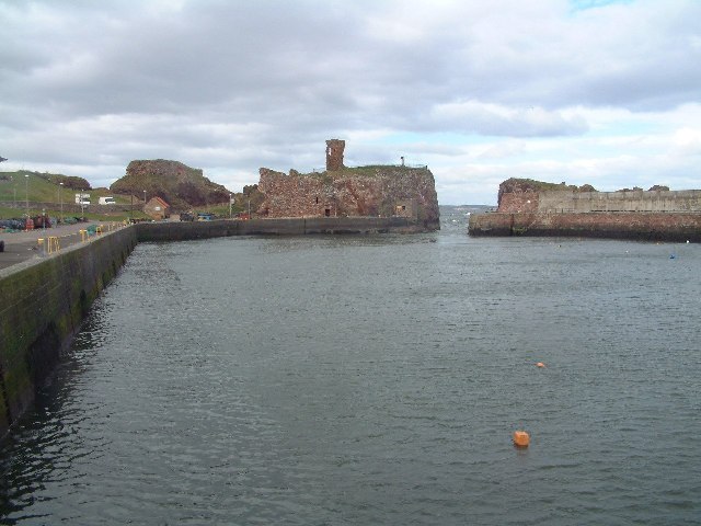
Dunbar Castle
Dunbar Castle was one of the strongest fortresses in Scotland, situated in a prominent position overlooking the harbour of the town of Dunbar, in East...

Dunbar Lifeboat Station
Dunbar Lifeboat Station is a lifeboat station located in Dunbar Harbour at Dunbar, on the south-east coast of Scotland, operated by the Royal National...

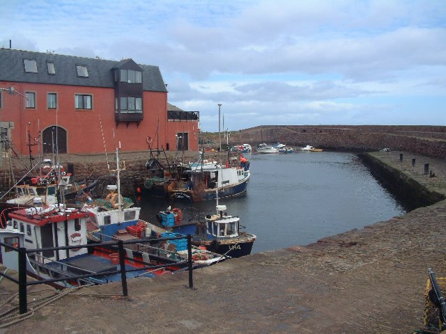
Dunbar Harbour
Dunbar Harbour is a seaport forming the north-east part of the town of Dunbar, East Lothian, Scotland. It is situated on a point projecting from the North...

Lauderdale House, Dunbar
Lauderdale House, formerly Dunbar House and then Castle Park Barracks, was a private house and then a military installation in Dunbar, Scotland. The building...

John Muir's Birthplace
John Muir's Birthplace, in Dunbar, East Lothian, Scotland, is a museum run by East Lothian Council Museums Service as a centre for study and interpretation...

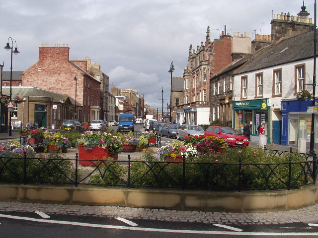
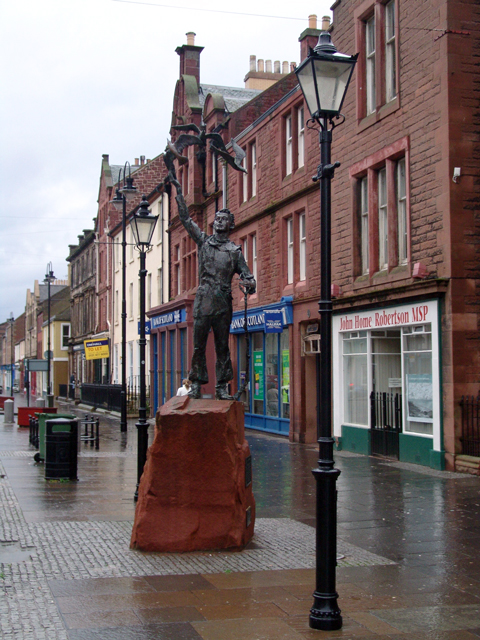
Dunbar
Dunbar ( ) is a town on the North Sea coast in East Lothian in the south-east of Scotland, approximately 30 miles (50 kilometres) east of Edinburgh and...

Dunbar Town House
The Dunbar Town House, also known as Dunbar Tolbooth, is a municipal structure in the High Street in Dunbar, East Lothian, Scotland. The building, which...

Templelands
Templelands is a Georgian terrace in Dunbar, East Lothian, Scotland. According to the listed building report for the property, it dates to circa 1820,...
Related Videos
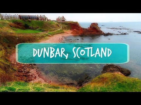
Dunbar is Amazing!
The place I really like. Click for a new video from DUNBAR: https://www.youtube.com/watch?v=X1PXwr10oCM&t=4s Follow me by ...

Are Lighthouses SCARY? Walking to Barns Ness Lighthouse, Scotland
Join me on a cliff-top walk - walking to Barns Ness Lighthouse. Starting at Whitesands Bay Beach we'll walk up the cliff tops, take ...

Dunbar's Scenic John Muir Trail #shorts #Scotland #explore #travel
Nestled on the southeastern coast of Scotland, the charming town of Dunbar boasts a rich history and a deep connection with the ...

Walking with Donald - The John Muir Way - Bellhaven Bay to East Linton - Part Two
Walking with Donald - The John Muir Way - Bellhaven Bay to East Linton - Part Two Filmed 9th December 2019, East Lothian, ...
Nearby Amenities
Located within 500m of 56.006823,-2.5166826Have you been to Johnston's Hole?
Leave your review of Johnston's Hole below (or comments, questions and feedback).