Bathe Rock
Coastal Feature, Headland, Point in East Lothian
Scotland
Bathe Rock
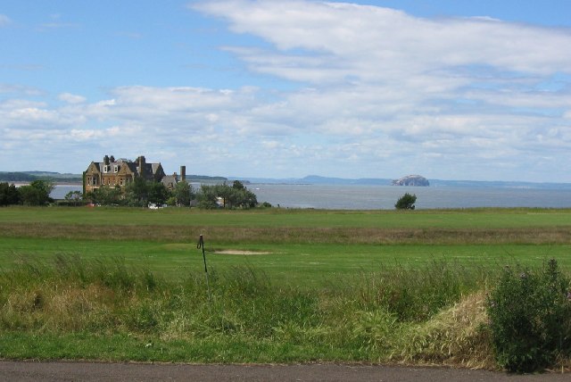
Bathe Rock, located in East Lothian, Scotland, is a prominent coastal feature that is classified as a headland or point. Rising approximately 20 meters above sea level, it is situated on the southern shore of the Firth of Forth, about 10 kilometers east of the town of Musselburgh.
This rocky outcrop is composed mainly of sandstone and shale, which have been shaped over centuries by the relentless action of wind and waves. Its jagged cliffs, formed by the erosion of softer rock layers, create a dramatic and picturesque landscape. The exposed nature of Bathe Rock also makes it an ideal spot for birdwatching, with various seabirds, such as gulls and cormorants, frequently seen nesting and foraging in the area.
The rock's strategic location, overlooking the Firth of Forth, has given it historical significance. In the past, it served as a lookout point for coastal defenses, providing an advantageous vantage point to monitor incoming ships and potential threats. The remnants of some fortifications can still be seen on the rock, further emphasizing its historical importance.
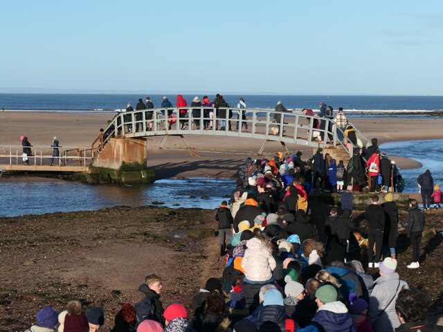
Today, Bathe Rock is a popular destination for locals and tourists alike. Its stunning views of the surrounding coastline, coupled with the opportunity to observe local wildlife, make it an attractive spot for nature enthusiasts. Additionally, the rock's accessibility via footpaths and coastal trails allows visitors to explore the area and appreciate its natural beauty up close.
In conclusion, Bathe Rock is a notable headland or point located in East Lothian, Scotland. Its rugged cliffs, historical significance, and diverse wildlife make it a compelling coastal feature to visit and explore.
If you have any feedback on the listing, please let us know in the comments section below.
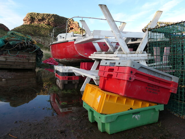
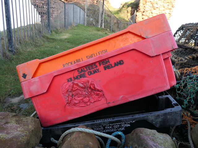
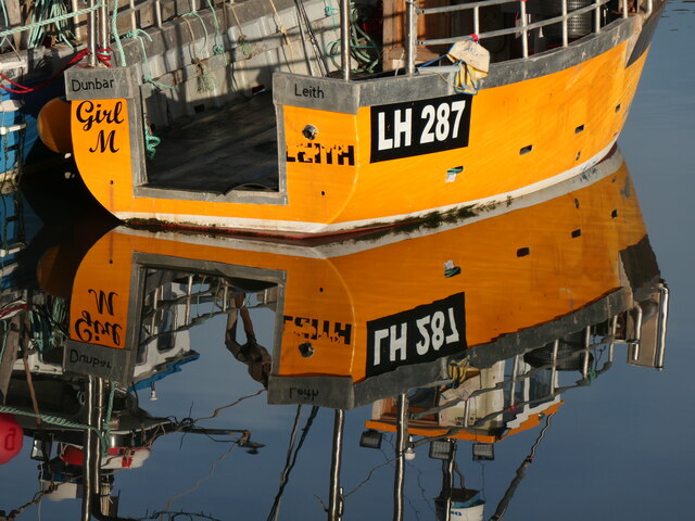
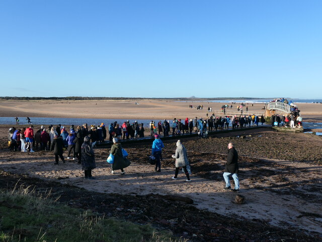
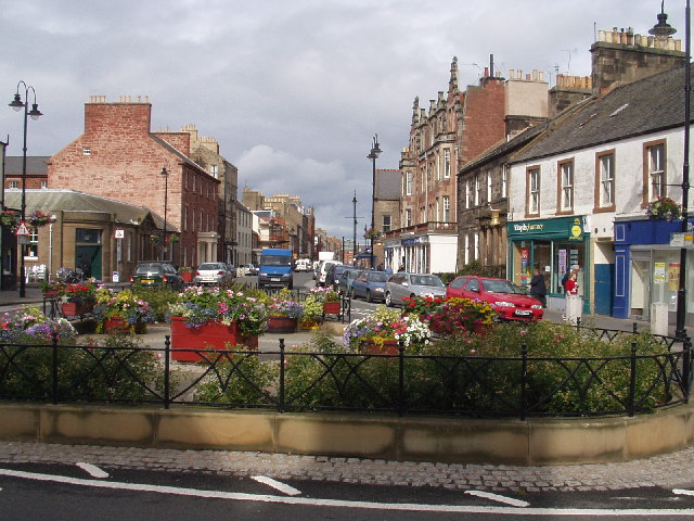
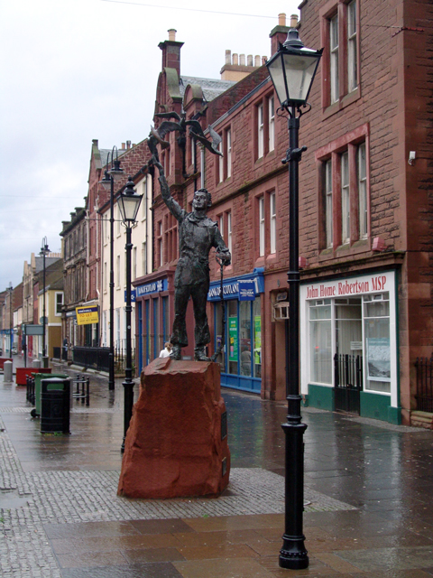
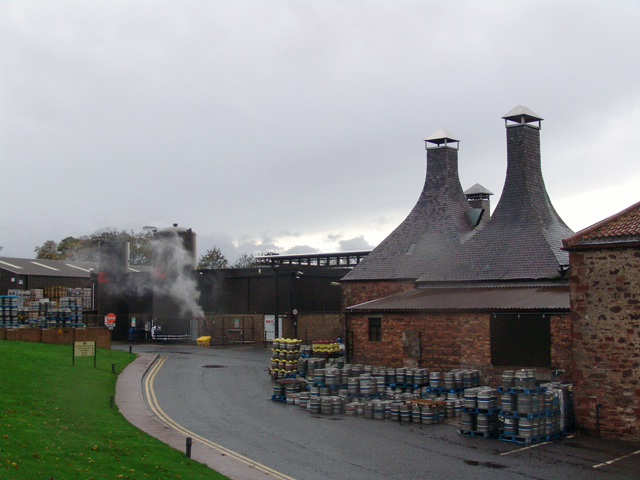
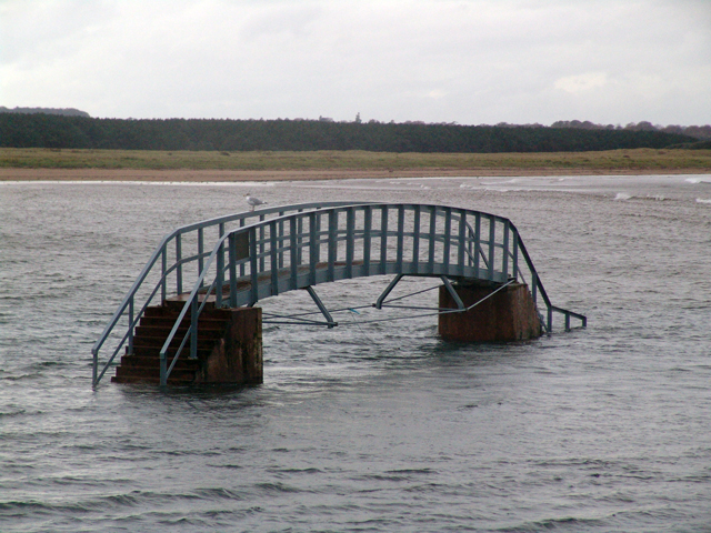
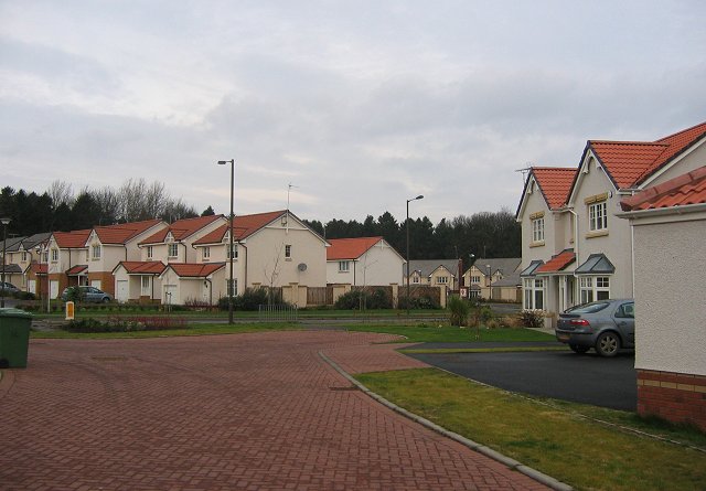
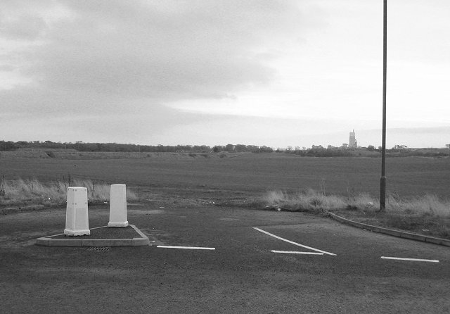
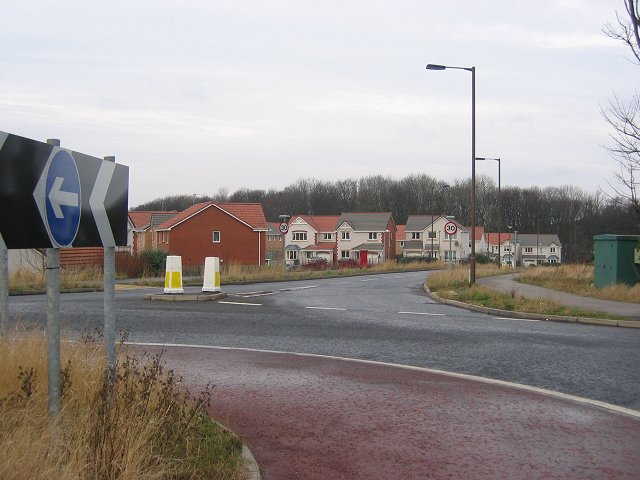
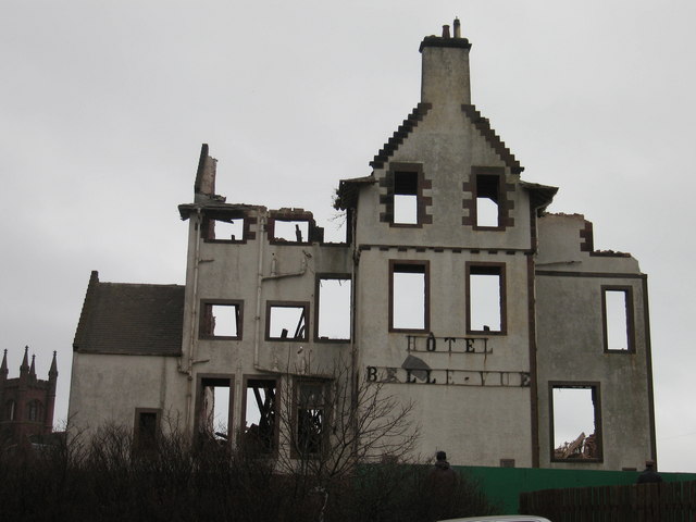
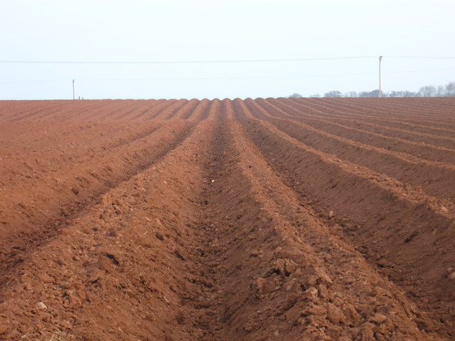
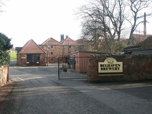
Bathe Rock Images
Images are sourced within 2km of 56.0056/-2.5234014 or Grid Reference NT6779. Thanks to Geograph Open Source API. All images are credited.
Bathe Rock is located at Grid Ref: NT6779 (Lat: 56.0056, Lng: -2.5234014)
Unitary Authority: East Lothian
Police Authority: The Lothians and Scottish Borders
What 3 Words
///full.shudders.slower. Near Dunbar, East Lothian
Nearby Locations
Related Wikis

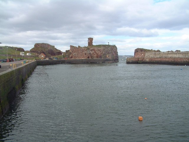
Dunbar Castle
Dunbar Castle was one of the strongest fortresses in Scotland, situated in a prominent position overlooking the harbour of the town of Dunbar, in East...

Lauderdale House, Dunbar
Lauderdale House, formerly Dunbar House and then Castle Park Barracks, was a private house and then a military installation in Dunbar, Scotland. The building...

John Muir's Birthplace
John Muir's Birthplace, in Dunbar, East Lothian, Scotland, is a museum run by East Lothian Council Museums Service as a centre for study and interpretation...

Dunbar
Dunbar ( ) is a town on the North Sea coast in East Lothian in the south-east of Scotland, approximately 30 miles (50 kilometres) east of Edinburgh and...

Dunbar Lifeboat Station
Dunbar Lifeboat Station is a lifeboat station located in Dunbar Harbour at Dunbar, on the south-east coast of Scotland, operated by the Royal National...

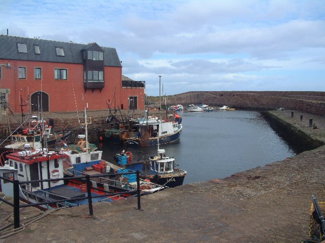
Dunbar Harbour
Dunbar Harbour is a seaport forming the north-east part of the town of Dunbar, East Lothian, Scotland. It is situated on a point projecting from the North...

Dunbar Town House
The Dunbar Town House, also known as Dunbar Tolbooth, is a municipal structure in the High Street in Dunbar, East Lothian, Scotland. The building, which...
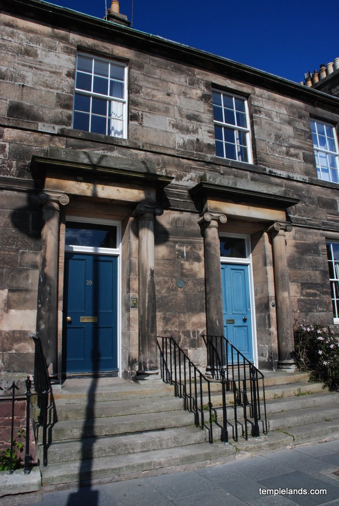
Templelands
Templelands is a Georgian terrace in Dunbar, East Lothian, Scotland. According to the listed building report for the property, it dates to circa 1820,...
Related Videos
Dunbar is Amazing!
The place I really like. Click for a new video from DUNBAR: https://www.youtube.com/watch?v=X1PXwr10oCM&t=4s Follow me by ...

Are Lighthouses SCARY? Walking to Barns Ness Lighthouse, Scotland
Join me on a cliff-top walk - walking to Barns Ness Lighthouse. Starting at Whitesands Bay Beach we'll walk up the cliff tops, take ...

Dunbar's Scenic John Muir Trail #shorts #Scotland #explore #travel
Nestled on the southeastern coast of Scotland, the charming town of Dunbar boasts a rich history and a deep connection with the ...

Walking with Donald - The John Muir Way - Bellhaven Bay to East Linton - Part Two
Walking with Donald - The John Muir Way - Bellhaven Bay to East Linton - Part Two Filmed 9th December 2019, East Lothian, ...
Nearby Amenities
Located within 500m of 56.0056,-2.5234014Have you been to Bathe Rock?
Leave your review of Bathe Rock below (or comments, questions and feedback).