Highlander
Coastal Feature, Headland, Point in Fife
Scotland
Highlander
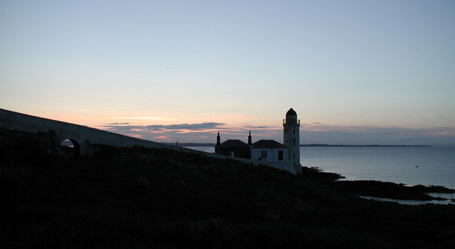
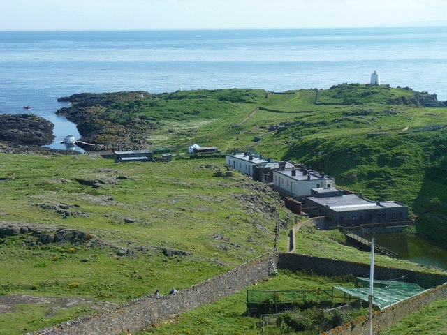
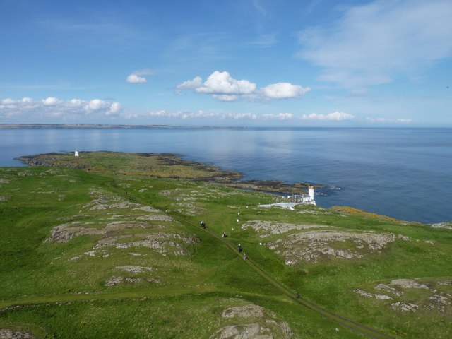
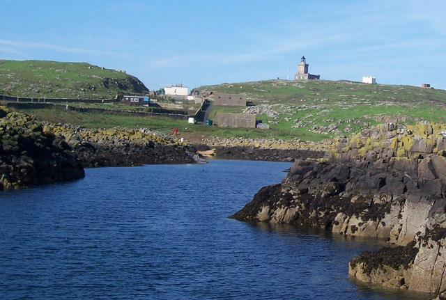
Highlander is a prominent coastal feature located in Fife, Scotland. It is a stunning headland that stretches out into the North Sea, forming a distinct point along the coastline. Highlander is situated approximately 10 miles east of the town of St. Andrews.
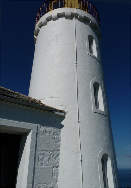
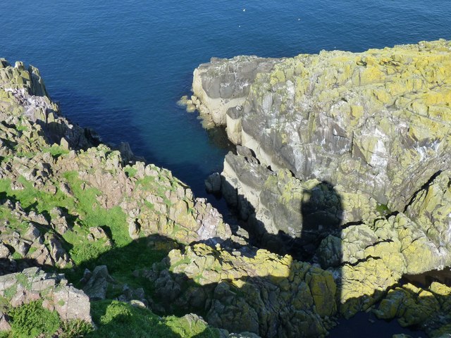
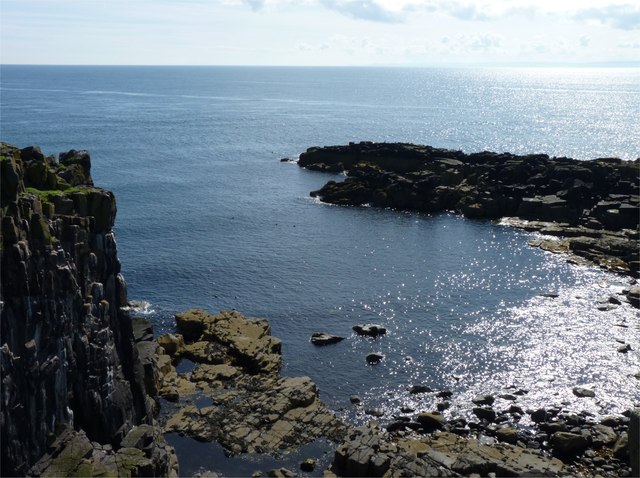
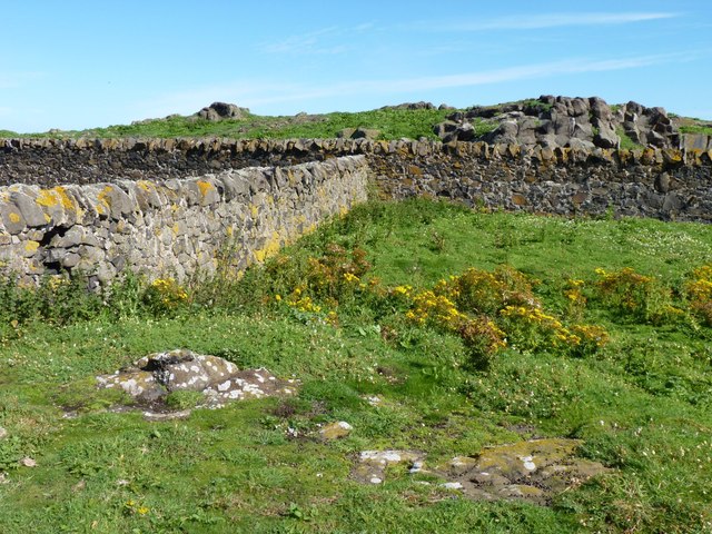
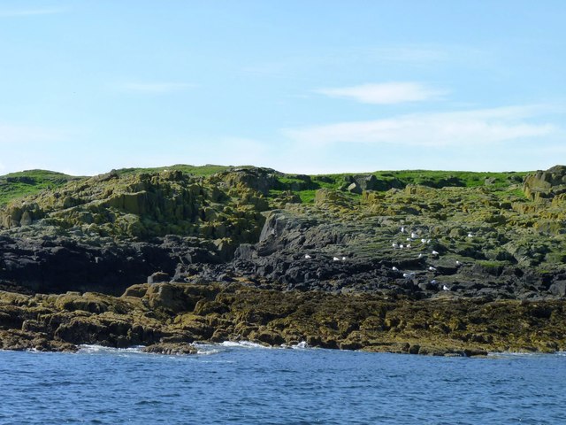
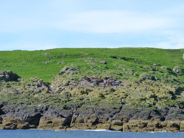
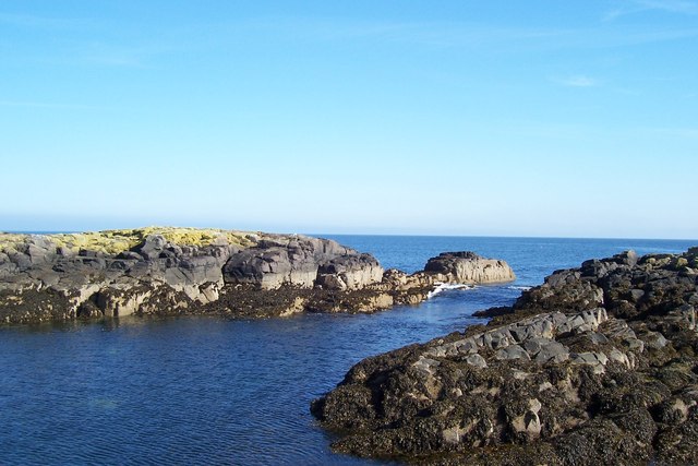
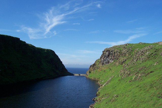
The headland is characterized by its rugged cliffs, which rise dramatically from the surrounding sea. These cliffs are composed of various types of rock, including sandstone and limestone, which have been shaped over thousands of years by the relentless waves and coastal erosion.
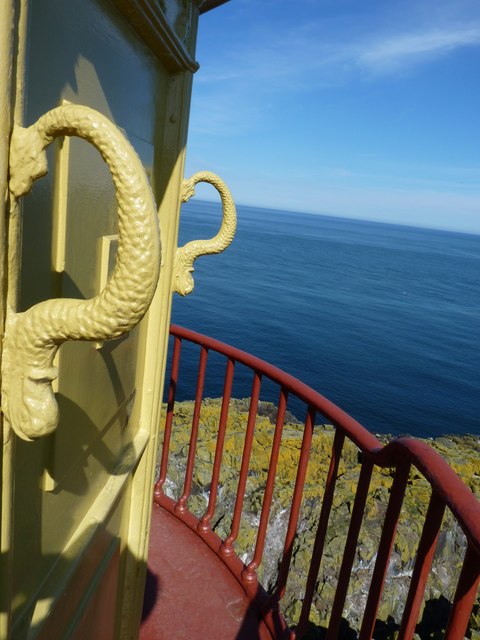
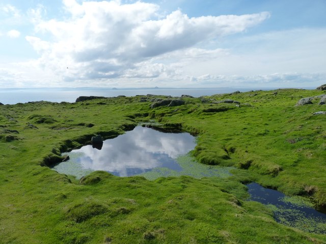
At the top of the headland, there is a grassy plateau that offers breathtaking panoramic views of the surrounding coastline. This vantage point provides visitors with an excellent opportunity to observe the diverse marine life that inhabits the waters below, including seabirds, seals, and even occasional dolphins.
Access to Highlander is relatively easy, with a footpath leading from the nearby coastal road to the headland. The footpath meanders through rolling fields and offers stunning views of the surrounding countryside before reaching the cliffs.
The headland is a popular destination for outdoor enthusiasts, nature lovers, and photographers alike. Many visitors come here to experience the stunning sunsets, capturing the beauty of the rugged coastline illuminated by the fading rays of the sun.
Overall, Highlander is a captivating coastal feature that showcases the natural beauty and geological diversity of the Fife coastline. Its striking cliffs, breathtaking views, and abundance of wildlife make it a must-visit destination for anyone exploring the region.
If you have any feedback on the listing, please let us know in the comments section below.
Highlander Images
Images are sourced within 2km of 56.187329/-2.5630916 or Grid Reference NT6599. Thanks to Geograph Open Source API. All images are credited.
Highlander is located at Grid Ref: NT6599 (Lat: 56.187329, Lng: -2.5630916)
Unitary Authority: Fife
Police Authority: Fife
What 3 Words
///butchers.kilt.reference. Near Crail, Fife
Nearby Locations
Related Wikis

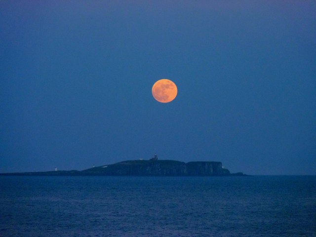
Isle of May
The Isle of May is located in the north of the outer Firth of Forth, approximately 8 km (5.0 mi) off the coast of mainland Scotland. It is about 1.5 kilometres...

Battle of May Island
The Battle of May Island is the name given to the series of accidents that occurred during Operation E.C.1 in 1918. Named after the Isle of May, a nearby...

Isle of May Priory
The Isle of May Priory was a monastery and community of Benedictine monks established for 9 monks of Reading Abbey on the Isle of May in the Firth of Forth...
SS Sneland I
Sneland I (Norwegian for “snowland one”) was a 1,791 GRT cargo ship which was built by Nüscke & Co. shipyard at Stettin-Grabow (then Germany) in 1922....

Cellardyke
Cellardyke is a village in the East Neuk of Fife, Scotland. The village is to the immediate east of Anstruther (the two effectively being conjoined) and...

Cellardyke Town Hall
Cellardyke Town Hall is a municipal structure in Tolbooth Wynd, Cellardyke, Fife, Scotland. The building accommodates a local history museum and is also...

Crail Castle
Crail Castle was a castle that was located in Crail, Fife, Scotland. Crail became a Royal Burgh in the 12th century. The castle was frequented by King...

Kilrenny
Kilrenny (Scottish Gaelic: Cill Reithnidh) is a village in Fife, Scotland. Part of the East Neuk, it lies immediately to the north of (but inland and separate...
Nearby Amenities
Located within 500m of 56.187329,-2.5630916Have you been to Highlander?
Leave your review of Highlander below (or comments, questions and feedback).