Whyntie Head
Coastal Feature, Headland, Point in Banffshire
Scotland
Whyntie Head
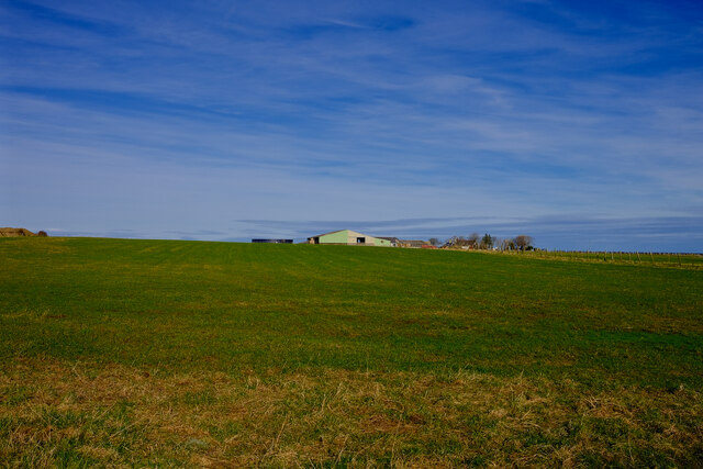
Whyntie Head is a prominent coastal feature located in Banffshire, Scotland. It is a picturesque headland that juts out into the North Sea, offering breathtaking views and a diverse range of natural formations.
Situated near the town of Portsoy, Whyntie Head is easily accessible and attracts both locals and tourists alike. This headland is known for its rugged cliffs, which are composed of sandstone and shale, displaying layers of sedimentary rocks that provide valuable insights into the region's geological history.
The headland is home to a wide variety of bird species, making it a popular spot for birdwatchers. Rare seabirds, such as puffins, guillemots, and razorbills, can often be spotted nesting on the cliffs. Additionally, visitors might also catch a glimpse of dolphins or seals swimming in the surrounding waters.
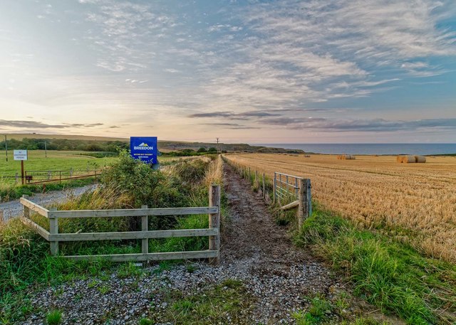
The area surrounding Whyntie Head offers diverse flora and fauna, including heather, gorse, and wildflowers. The headland is a haven for nature enthusiasts, providing opportunities for hiking and exploring the coastal landscape. The coastal path that runs along the headland offers stunning panoramic views of the North Sea and the Aberdeenshire coastline.
Historically, Whyntie Head has been a significant landmark for sailors navigating the treacherous waters of the North Sea. The headland's prominent position and its distinctive rock formations served as a useful navigational aid. Today, the headland continues to be an iconic symbol of the region's maritime heritage.
Overall, Whyntie Head is a captivating coastal feature that combines natural beauty, geological significance, and a rich history. Its stunning views, diverse wildlife, and recreational opportunities make it a must-visit destination for nature enthusiasts and those seeking a glimpse into Scotland's coastal wonders.
If you have any feedback on the listing, please let us know in the comments section below.
Whyntie Head Images
Images are sourced within 2km of 57.682848/-2.6259404 or Grid Reference NJ6266. Thanks to Geograph Open Source API. All images are credited.


Whyntie Head is located at Grid Ref: NJ6266 (Lat: 57.682848, Lng: -2.6259404)
Unitary Authority: Aberdeenshire
Police Authority: North East
What 3 Words
///heeding.tank.joys. Near Whitehills, Aberdeenshire
Nearby Locations
Related Wikis

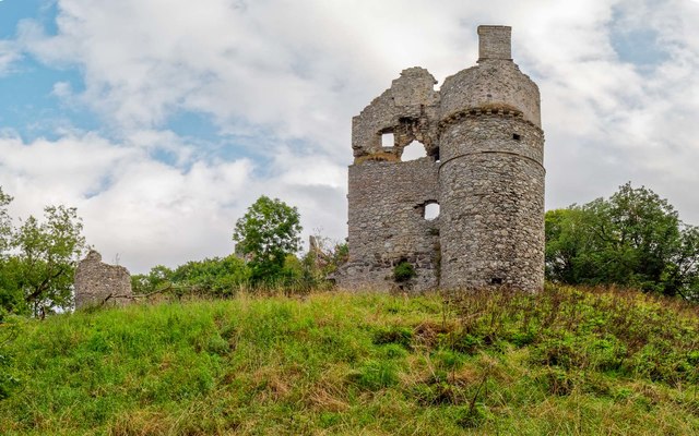
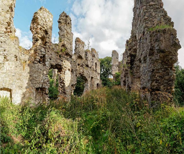
Boyne Castle
Boyne Castle (also known as the Palace of Boyne) is a 16th-century quadrangular castle about 1.5 miles (2.4 km) east of Portsoy, Aberdeenshire, Scotland...

RAF Banff
Royal Air Force Banff or more simply RAF Banff is a former Royal Air Force station located 4 miles (6 km) west of Banff, Aberdeenshire, Scotland and 14...
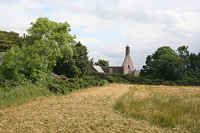
Boyndie
Boyndie is a village in Aberdeenshire, Scotland. == History == Boyndie was once home to RAF Banff Strike Wing, which played a pivotal role in protecting...
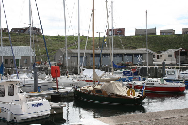
Whitehills
Whitehills is a small fishing village in Banffshire, Scotland, that lies three miles (five kilometres) west of Banff on the Moray Firth. It forms part...
Nearby Amenities
Located within 500m of 57.682848,-2.6259404Have you been to Whyntie Head?
Leave your review of Whyntie Head below (or comments, questions and feedback).