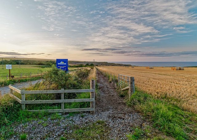
Boyne Bay
Bay in Banffshire
Scotland
Boyne Bay

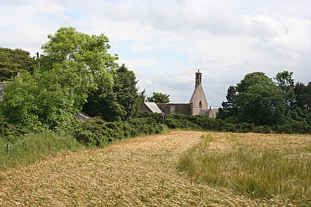
Boyne Bay is a picturesque coastal village located in Banffshire, Scotland. Situated on the northeast coast of Scotland, it boasts stunning views of the North Sea and is surrounded by rugged cliffs and beautiful sandy beaches. The village is named after the nearby River Boyne, which flows into the bay.
Boyne Bay is known for its natural beauty and tranquility, making it a popular destination for tourists seeking a peaceful retreat. The bay offers a range of activities for visitors, including beachcombing, birdwatching, and coastal walks along the cliffs. The area is also a haven for wildlife, with seals often seen basking on the rocks and a variety of seabirds nesting along the shoreline.
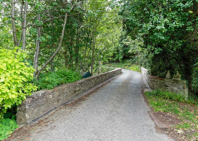
The village itself is small but charming, with a handful of traditional cottages and a small harbor. There are a few local shops and amenities, including a café and a pub, where visitors can sample local cuisine and enjoy a drink while taking in the scenic views. The village has a strong sense of community and is known for its friendly and welcoming atmosphere.
Nearby attractions include the historic town of Banff, which offers a range of cultural and historical sites, including Duff House, a Georgian mansion that houses an art gallery. The stunning coastline of Banffshire also offers opportunities for water sports such as kayaking and fishing.
Overall, Boyne Bay in Banffshire is a hidden gem on the northeast coast of Scotland, offering natural beauty, a peaceful atmosphere, and a warm Scottish welcome to visitors.
If you have any feedback on the listing, please let us know in the comments section below.
Boyne Bay Images
Images are sourced within 2km of 57.684297/-2.6361786 or Grid Reference NJ6266. Thanks to Geograph Open Source API. All images are credited.


Boyne Bay is located at Grid Ref: NJ6266 (Lat: 57.684297, Lng: -2.6361786)
Unitary Authority: Aberdeenshire
Police Authority: North East
What 3 Words
///noticing.edgy.blurs. Near Portsoy, Aberdeenshire
Nearby Locations
Related Wikis

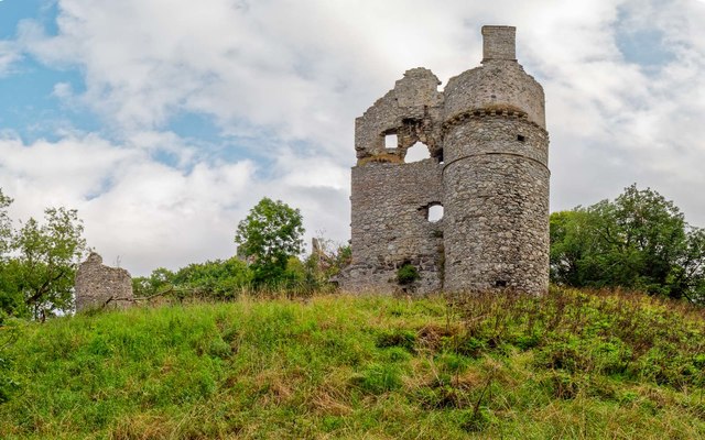
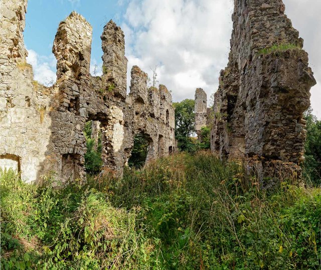
Boyne Castle
Boyne Castle (also known as the Palace of Boyne) is a 16th-century quadrangular castle about 1.5 miles (2.4 km) east of Portsoy, Aberdeenshire, Scotland...

RAF Banff
Royal Air Force Banff or more simply RAF Banff is a former Royal Air Force station located 4 miles (6 km) west of Banff, Aberdeenshire, Scotland and 14...
Boyndie
Boyndie is a village in Aberdeenshire, Scotland. == History == Boyndie was once home to RAF Banff Strike Wing, which played a pivotal role in protecting...

Portsoy
Portsoy (Scottish Gaelic: Port Saoidh) is a village in Aberdeenshire, Scotland. Historically, Portsoy was in Banffshire. The original name may come from...
Nearby Amenities
Located within 500m of 57.684297,-2.6361786Have you been to Boyne Bay?
Leave your review of Boyne Bay below (or comments, questions and feedback).