Lower Altofts
Settlement in Yorkshire
England
Lower Altofts
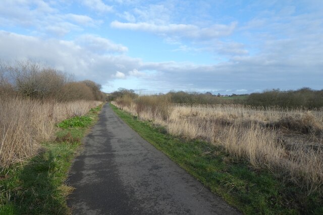
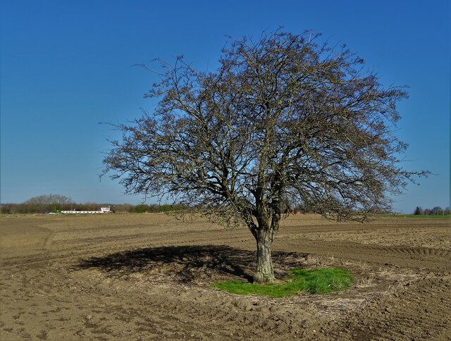
Lower Altofts is a small village located in the metropolitan borough of Wakefield, West Yorkshire, England. Situated approximately 5 miles east of the city of Wakefield, it is part of the wider Altofts area, which includes Upper Altofts and Whitwood. The village is nestled in the heart of the Yorkshire countryside, surrounded by lush green fields and rolling hills.
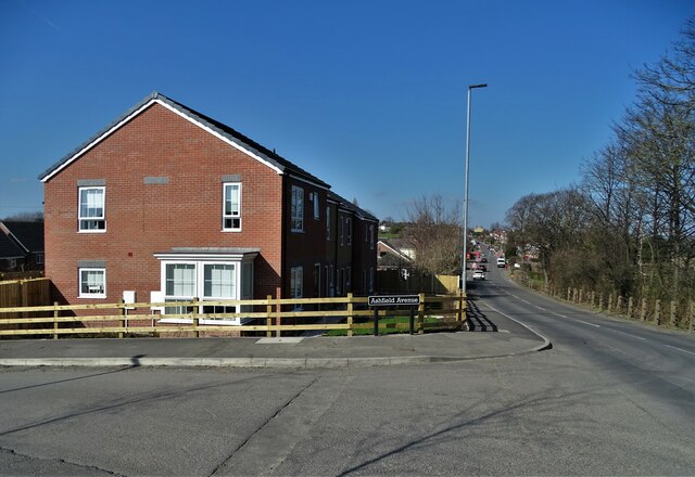
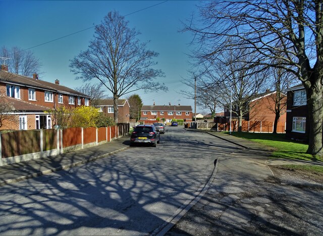
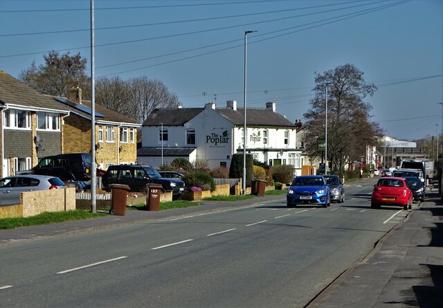
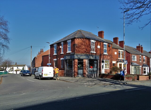
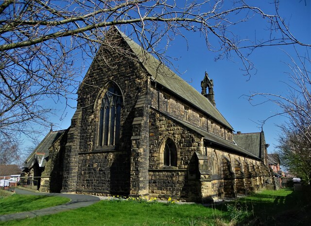
Lower Altofts is known for its close-knit community and picturesque setting. The village is primarily residential, with a mix of traditional stone-built houses and more modern properties. The streets are lined with well-maintained gardens, adding to the overall charm of the area.
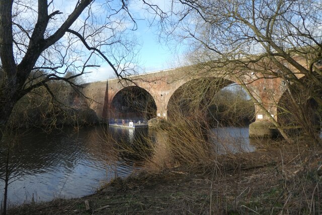
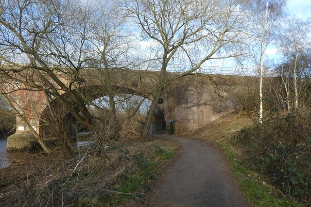
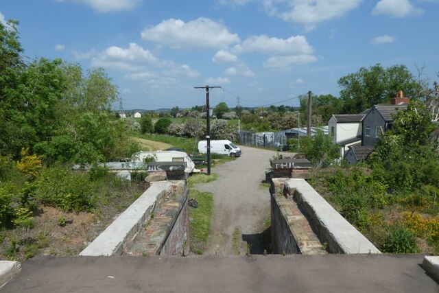
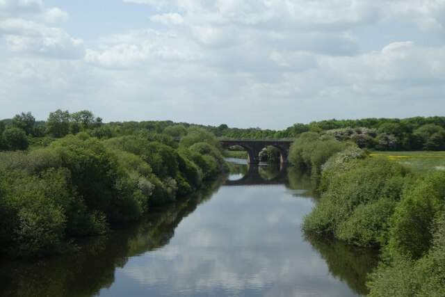
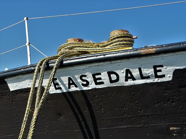
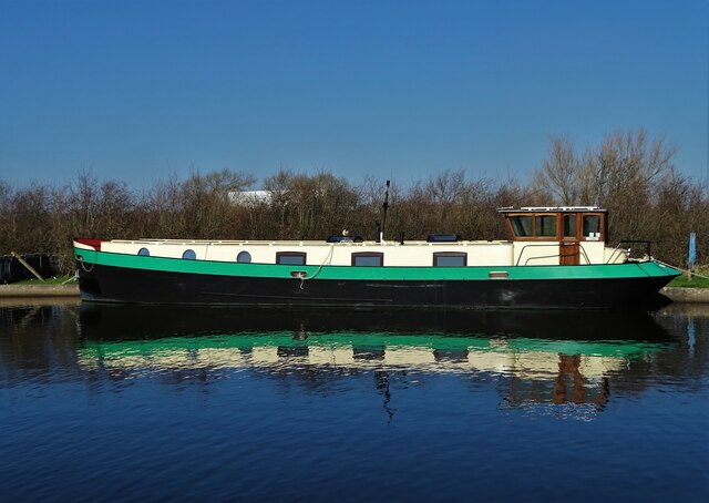
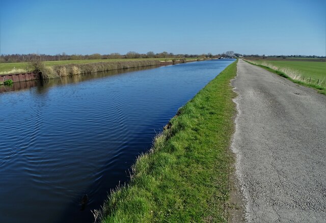
One of the notable features of Lower Altofts is its proximity to the Aire and Calder Navigation, a historic canal system that runs through the village. This provides opportunities for leisurely walks and boating activities, as well as scenic views of the surrounding countryside.
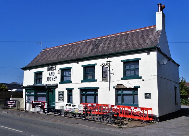
Despite its small size, Lower Altofts offers a range of amenities for its residents. There is a local primary school, providing education for children in the area, along with a small selection of shops and pubs. For more extensive amenities, the nearby city of Wakefield offers a wider range of services and facilities.
Overall, Lower Altofts is a tranquil and welcoming village, offering a peaceful escape from the hustle and bustle of nearby urban areas. With its scenic surroundings and strong sense of community, it remains an attractive place to live for those seeking a quieter and more rural lifestyle.
If you have any feedback on the listing, please let us know in the comments section below.
Lower Altofts Images
Images are sourced within 2km of 53.715676/-1.417959 or Grid Reference SE3824. Thanks to Geograph Open Source API. All images are credited.
Lower Altofts is located at Grid Ref: SE3824 (Lat: 53.715676, Lng: -1.417959)
Division: West Riding
Unitary Authority: Wakefield
Police Authority: West Yorkshire
What 3 Words
///mile.upsetting.tins. Near Normanton, West Yorkshire
Nearby Locations
Related Wikis

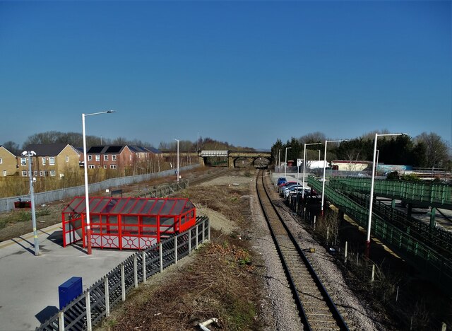
Altofts railway station
Altofts railway station served the village of Altofts near Normanton in the English county of West Yorkshire. It was opened in 1870 as Altofts and Whitwood...

Wakefield Europort
Wakefield Europort is a rail-connected warehousing and industrial estate located to the northeast of Wakefield at junction 31 of the M62 motorway in West...
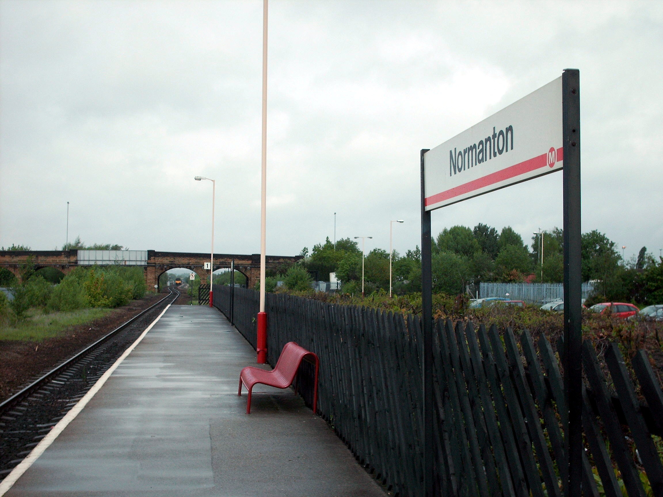
Normanton railway station
Normanton railway station serves the town of Normanton in West Yorkshire, England. It lies 11 miles (18 km) south-east of Leeds railway station on the...

Methley South railway station
Methley South railway station was one of three stations that served the village of Methley, West Yorkshire, England. The station was built by the Methley...
Nearby Amenities
Located within 500m of 53.715676,-1.417959Have you been to Lower Altofts?
Leave your review of Lower Altofts below (or comments, questions and feedback).