Altofts, Lower
Settlement in Yorkshire
England
Altofts, Lower
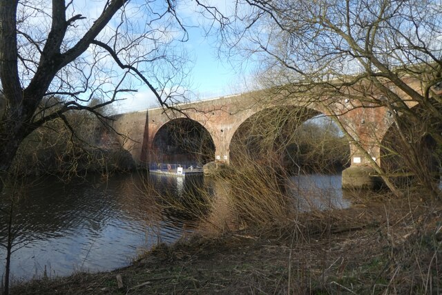
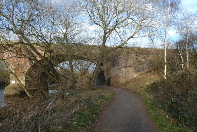
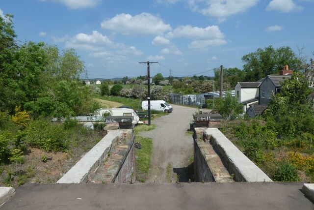
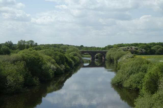
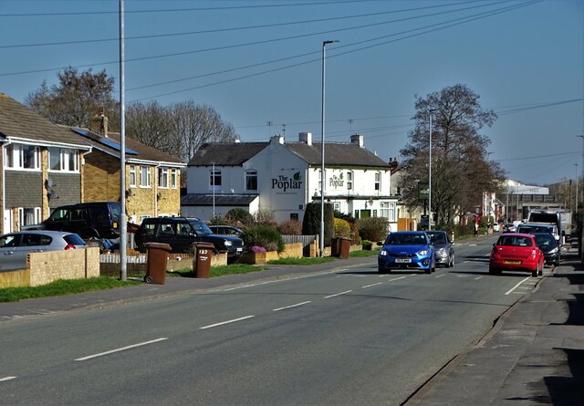
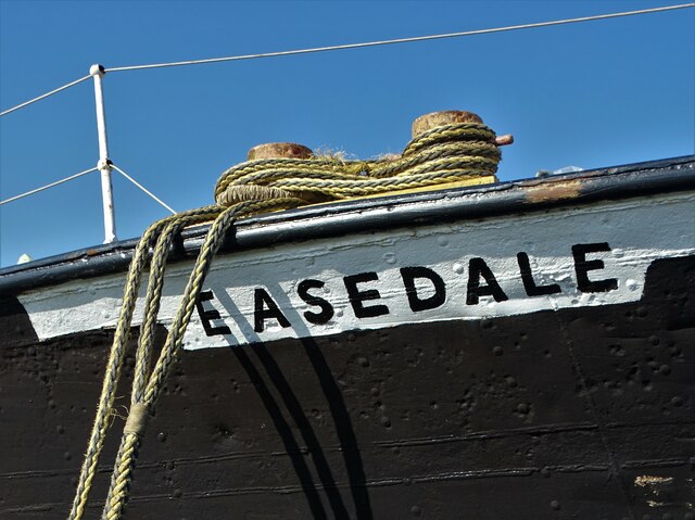
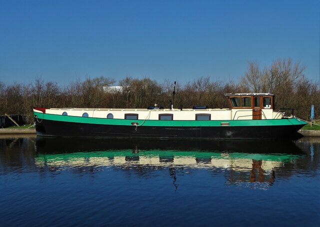
Altofts is a small village located in the Lower District of Yorkshire, England. Situated approximately 9 miles east of the city of Wakefield, Altofts is nestled along the banks of the Aire and Calder Navigation, providing a picturesque setting for residents and visitors alike.
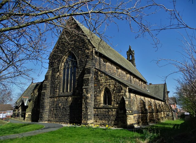
The village has a rich history dating back to the industrial revolution, when it served as a hub for coal mining and textile manufacturing. Today, remnants of this industrial past can still be seen in the form of old mills and warehouses, adding character to the village's architecture.
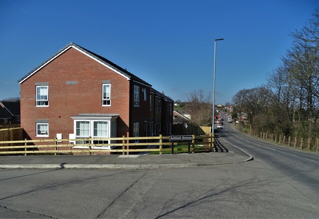
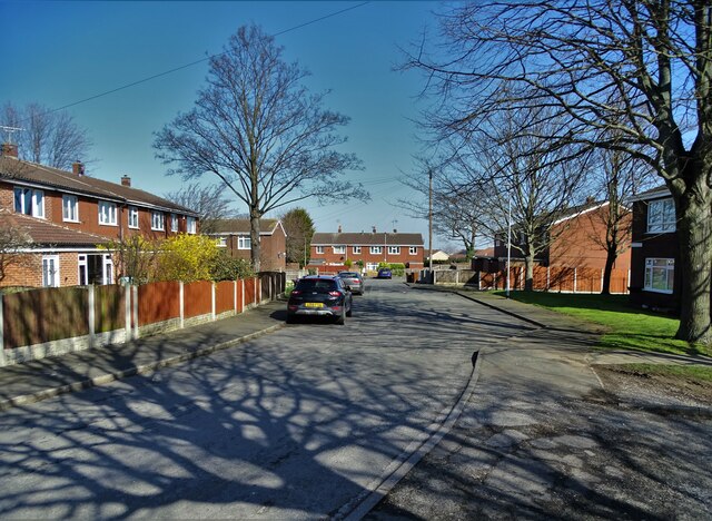
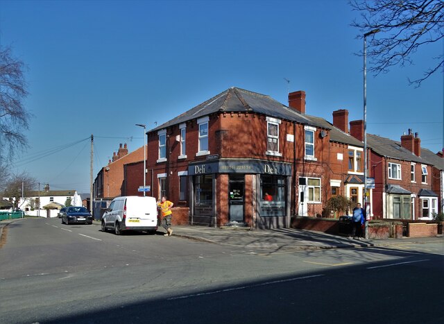
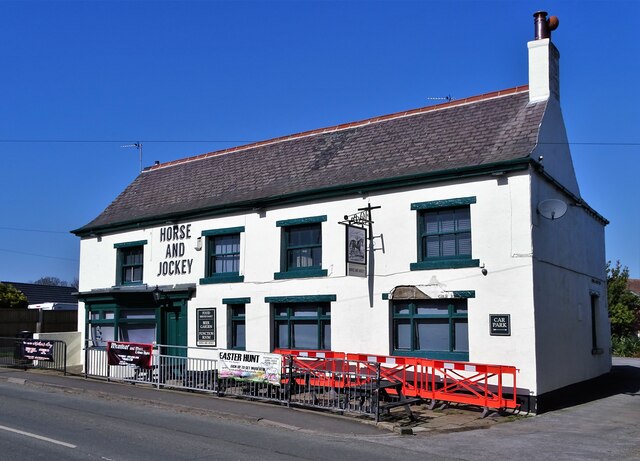
Altofts offers a range of amenities for its residents, including several local shops, pubs, and restaurants, providing all the necessary conveniences without the need to travel far. The village also boasts a primary school, making it an attractive location for families.
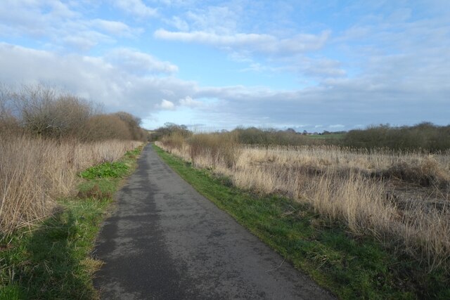
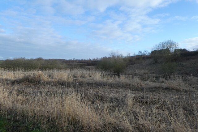
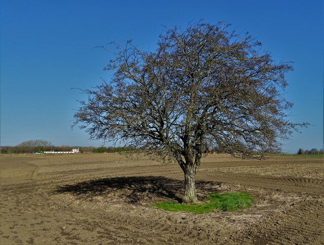
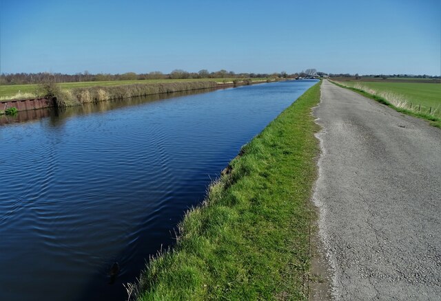
For outdoor enthusiasts, Altofts is surrounded by beautiful countryside, ideal for walking, cycling, and exploring. The nearby River Calder offers opportunities for fishing and boating, while the nearby nature reserves provide a haven for wildlife and birdwatching.
Transport links in Altofts are excellent, with easy access to the M62 motorway, connecting the village to major towns and cities in the region. The nearby train stations of Normanton and Castleford provide further transportation options for residents looking to travel further afield.
In summary, Altofts is a charming village in the Lower District of Yorkshire, offering a delightful blend of history, amenities, and natural beauty, making it an appealing place to live or visit.
If you have any feedback on the listing, please let us know in the comments section below.
Altofts, Lower Images
Images are sourced within 2km of 53.715676/-1.417959 or Grid Reference SE3824. Thanks to Geograph Open Source API. All images are credited.
Altofts, Lower is located at Grid Ref: SE3824 (Lat: 53.715676, Lng: -1.417959)
Division: West Riding
Unitary Authority: Wakefield
Police Authority: West Yorkshire
What 3 Words
///mile.upsetting.tins. Near Normanton, West Yorkshire
Nearby Locations
Related Wikis

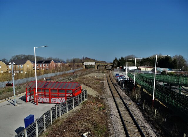
Altofts railway station
Altofts railway station served the village of Altofts near Normanton in the English county of West Yorkshire. It was opened in 1870 as Altofts and Whitwood...

Wakefield Europort
Wakefield Europort is a rail-connected warehousing and industrial estate located to the northeast of Wakefield at junction 31 of the M62 motorway in West...
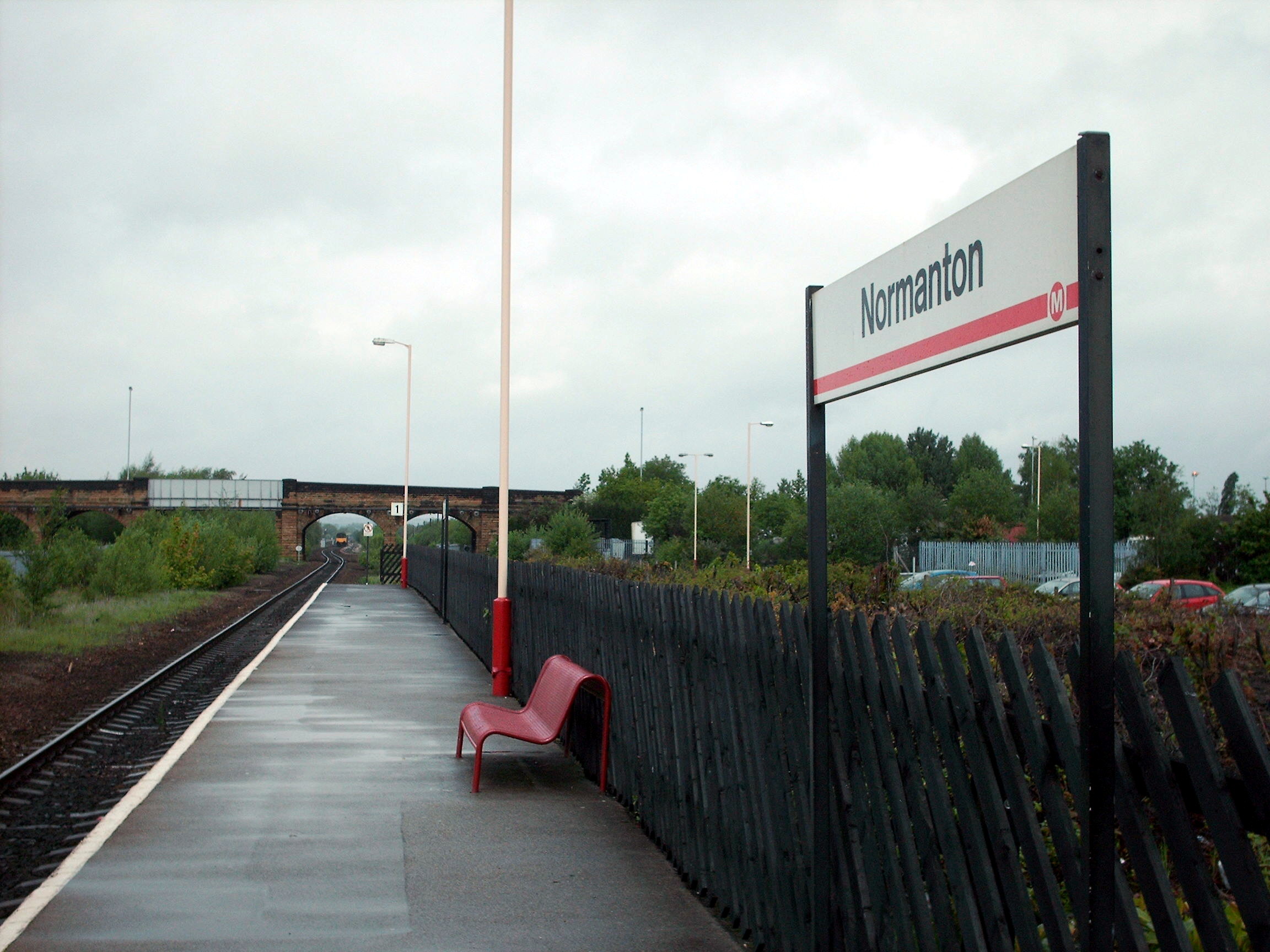
Normanton railway station
Normanton railway station serves the town of Normanton in West Yorkshire, England. It lies 11 miles (18 km) south-east of Leeds railway station on the...

Methley South railway station
Methley South railway station was one of three stations that served the village of Methley, West Yorkshire, England. The station was built by the Methley...
Nearby Amenities
Located within 500m of 53.715676,-1.417959Have you been to Altofts, Lower?
Leave your review of Altofts, Lower below (or comments, questions and feedback).