Leg of Labar

Coastal Feature, Headland, Point in Orkney

Scotland

Leg of Labar

Point of Ayre Windfarm from the sea Taken from the Aberdeen-Orkney-Shetland ferry several km to the NE.
Point of Ayre Windfarm from the sea Credit: Mike Pennington

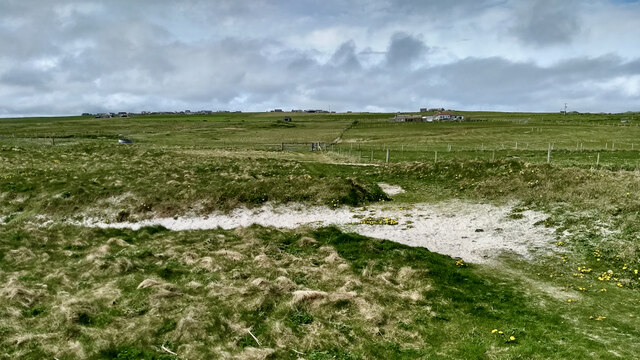
Leg of Labar is a prominent coastal feature located in Orkney, an archipelago situated off the northeastern coast of Scotland. This captivating headland is positioned on the western side of the island of Westray, overlooking the Atlantic Ocean. It extends into the sea, creating a distinct and recognizable point that has become a popular landmark in the area.

Rising to an impressive height, Leg of Labar offers stunning panoramic views of the surrounding coastline and the vast expanse of the ocean. The headland is composed of rugged cliffs, weathered by the relentless waves and winds that sweep across the Orkney Islands. These cliffs provide a nesting site for a variety of seabirds, including guillemots, fulmars, and kittiwakes, making it a haven for birdwatchers and nature enthusiasts.

The geology of Leg of Labar is a testament to the island's ancient history, with layers of sedimentary rock and sandstone evident in the cliff faces. These formations have been shaped over millions of years through the forces of erosion, resulting in the dramatic landscape that we see today.

Access to Leg of Labar is relatively easy, with a well-maintained footpath leading visitors to its peak. The headland offers a tranquil retreat, perfect for those seeking solitude or a picturesque spot for a picnic. In addition to its natural beauty, Leg of Labar holds cultural significance, as it is believed to have been a site of Viking settlements in the past.

Overall, Leg of Labar is a remarkable coastal feature that showcases the stunning natural landscape and rich history of the Orkney Islands.

If you have any feedback on the listing, please let us know in the comments section below.
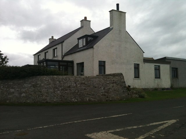
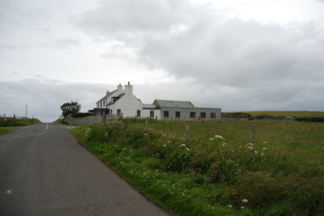
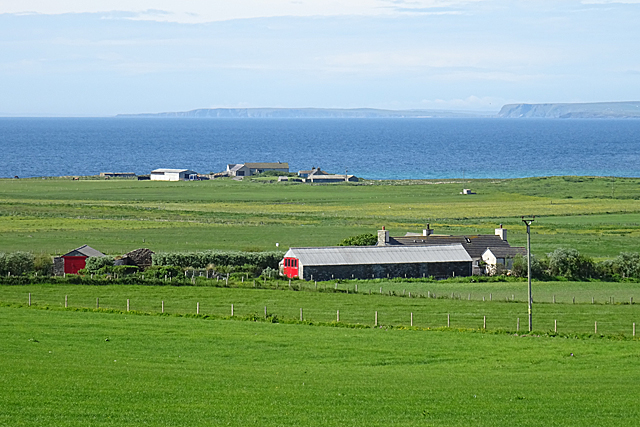
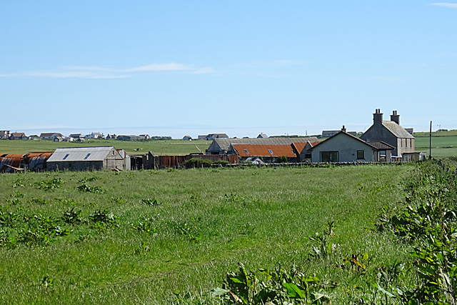
Leg of Labar Images

Images are sourced within 2km of 58.931894/-2.713845 or Grid Reference HY5905. Thanks to Geograph Open Source API. All images are credited.

Point of Ayre Windfarm from the sea Taken from the Aberdeen-Orkney-Shetland ferry several km to the NE.
Point of Ayre Windfarm from the sea
Taken from the Aberdeen-Orkney-Shetland ferry several km to the NE.
Deerness, Orkney Mainland
New Lighthouse, Deerness, Orkney Mainland
Deerness: Orkney Mainland On the road leading to Skaill house some friends showed up.
Deerness: Orkney Mainland
On the road leading to Skaill house some friends showed up.
Sheds at Skaill The sheds are obviously in use for matters maritime, with boats including a lifeboat outside one, and a slipway leading down from the other.
Sheds at Skaill
The sheds are obviously in use for matters maritime, with boats including a lifeboat outside one, and a slipway leading down from the other.
St Ninian's Kirk The kirk at Skaill dates from 1798 and was altered in 1829. It stands close to its predecessor, dedicated to St Mary, notable for an early mediaeval hog-backed gravestone, which has been moved from the kirkyard into the Session House. See <span class="nowrap"><a title="https://canmore.org.uk/site/2931/skaill-st-marys-church" rel="nofollow ugc noopener" href="https://canmore.org.uk/site/2931/skaill-st-marys-church">Link</a><img style="margin-left:2px;" alt="External link" title="External link - shift click to open in new window" src="https://s1.geograph.org.uk/img/external.png" width="10" height="10"/></span> and <span class="nowrap"><a title="http://portal.historicenvironment.scot/designation/LB18572" rel="nofollow ugc noopener" href="http://portal.historicenvironment.scot/designation/LB18572">Link</a><img style="margin-left:2px;" alt="External link" title="External link - shift click to open in new window" src="https://s1.geograph.org.uk/img/external.png" width="10" height="10"/></span> for more information.
St Ninian's Kirk
The kirk at Skaill dates from 1798 and was altered in 1829. It stands close to its predecessor, dedicated to St Mary, notable for an early mediaeval hog-backed gravestone, which has been moved from the kirkyard into the Session House. See LinkExternal link and LinkExternal link for more information.
Sandside Bay In the foreground is the pier at Skaill, and Sandside is at the far side of the bay
Sandside Bay
In the foreground is the pier at Skaill, and Sandside is at the far side of the bay
Red Door at Colster A long barn at Colster has a smart new red door. I think the more distant farm is Newark, and in the far distance is South Ronaldsay.
Red Door at Colster
A long barn at Colster has a smart new red door. I think the more distant farm is Newark, and in the far distance is South Ronaldsay.
Grindigarth New housing is springing up around Grindigarth, and with the foreshortening from the zoom lens it looks almost like a village.
Grindigarth
New housing is springing up around Grindigarth, and with the foreshortening from the zoom lens it looks almost like a village.
Farmland on Deerness Several farms occupy this area of farmland at Deerness, mainly given over to livestock farming.
Farmland on Deerness
Several farms occupy this area of farmland at Deerness, mainly given over to livestock farming.
Quoys Houses and farm sheds at Quoys, with other Deerness farms in the background.
Quoys
Houses and farm sheds at Quoys, with other Deerness farms in the background.
View towards Quoys
View towards Quoys
Deerness Community Centre Public hall facility serving the Deerness peninsula.
Deerness Community Centre
Public hall facility serving the Deerness peninsula.
Church of St Ninian, Skaill Sea side graveyard and harled church on the Deerness peninsula.
Church of St Ninian, Skaill
Sea side graveyard and harled church on the Deerness peninsula.
Sandside Bay Sandy bay on the east side of Deerness. Some rock filled gabions at the bottom of the photo protecting the churchyard wall.
Sandside Bay
Sandy bay on the east side of Deerness. Some rock filled gabions at the bottom of the photo protecting the churchyard wall.
Breck, Deerness A dead end road on the east side of Deerness heading past the farmstead at Breck towards the coast.
Breck, Deerness
A dead end road on the east side of Deerness heading past the farmstead at Breck towards the coast.
Newark Bay South facing beach on the eastern side of the Deerness peninsula.
Newark Bay
South facing beach on the eastern side of the Deerness peninsula.
Show me another place!

Leg of Labar is located at Grid Ref: HY5905 (Lat: 58.931894, Lng: -2.713845)

Unitary Authority: Orkney Islands

Police Authority: Highlands and Islands

What 3 Words

///claps.blacken.widest. Near Deerness, Orkney Islands

Related Wikis

Point of Ayre, Orkney

There are also two similarly named points in the British Isles: Point of Ayre, Isle of Man and Point of Ayr, Wales.Point of Ayre is a headland in the parish...

The Gloup

The Gloup () is a collapsed sea cave in the Mull Head Nature Reserve in the islands of Orkney, Scotland. The name derives from the Old Norse "gluppa",...

Deerness

Deerness (, locally , Old Norse: Dyrnes) is a quoad sacra parish (i.e. one created and functioning for ecclesiastical purposes only) and peninsula in Mainland...

Black Holm

Black Holm is a small tidal island in the Orkney Islands, near Copinsay to the west of Corn Holm off the north-eastern coast of Scotland. == Geography... ==

Corn Holm

Corn Holm is a small tidal island in Orkney, near Copinsay to the west, off the north-eastern coast of Scotland. There was once a small chapel there, and...

Horse of Copinsay

The Horse of Copinsay, also known as the Horse, is a rectangular uninhabited sea stack to the north east of Copinsay in the Orkney Islands, Scotland....

Copinsay

Copinsay (Old Norse: Kolbeinsey) is one of the Orkney Islands in Scotland, lying off the east coast of the Orkney Mainland. The smaller companion island...

St Peter's Pool, Orkney

St Peter's Pool is a bay in the East Mainland of Orkney, Scotland. This bay was the site of significant coastal defences during World War II, when a German...

Nearby Amenities

Located within 500m of 58.931894,-2.713845
Created By: almien_coastlines mod
Lat/Long: 58.933133/-2.713016
Created By: almien_coastlines mod
Lat/Long: 58.929808/-2.714034
Created By: almien_coastlines mod
Lat/Long: 58.93185/-2.711542
Created By: almien_coastlines mod
Lat/Long: 58.93518/-2.712999
Created By: almien_coastlines mod
Lat/Long: 58.935695/-2.713985
Created By: almien_coastlines mod
Lat/Long: 58.928525/-2.712808
Created By: almien_coastlines mod
Lat/Long: 58.928782/-2.713301
Created By: almien_coastlines mod
Lat/Long: 58.93211/-2.713273
Created By: almien_coastlines mod
Lat/Long: 58.930827/-2.712045
Created By: almien_coastlines mod
Lat/Long: 58.933131/-2.712026
Created By: almien_coastlines mod
Lat/Long: 58.934154/-2.711771
Created By: almien_coastlines mod
Lat/Long: 58.93006/-2.7123
The Howie (Neolithic burial monument)
Historic: archaeological_site
Lat/Long: 58.9348626/-2.7166495
Power: pole
Lat/Long: 58.9302268/-2.7205895
Power: pole
Lat/Long: 58.9301187/-2.7198161
Power: pole
Lat/Long: 58.9300165/-2.7190466
Power: pole
Lat/Long: 58.9303843/-2.7217277
The data included in this document is from www.openstreetmap.org. The data is made available under ODbL.

Have you been to Leg of Labar?

Leave your review of Leg of Labar below (or comments, questions and feedback).