Bruce's Skelly
Coastal Feature, Headland, Point in Fife
Scotland
Bruce's Skelly
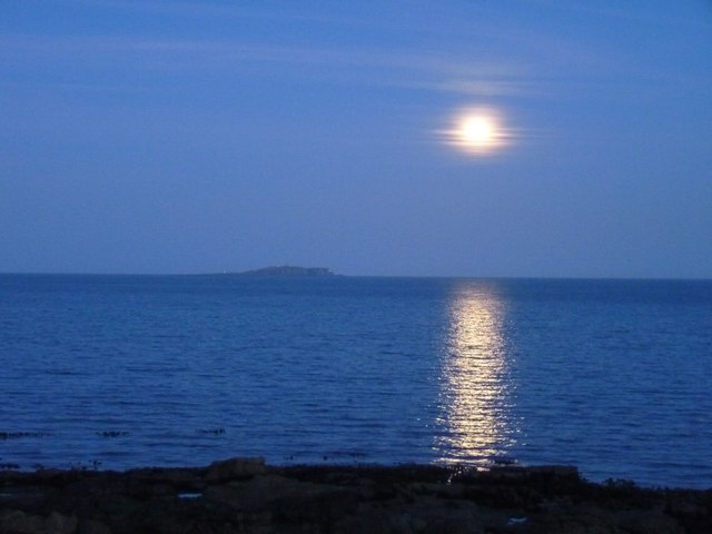
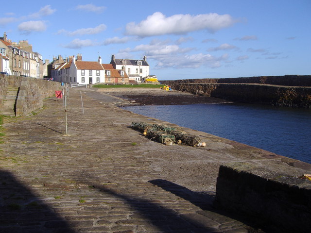
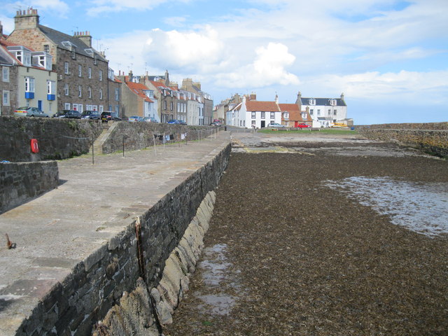
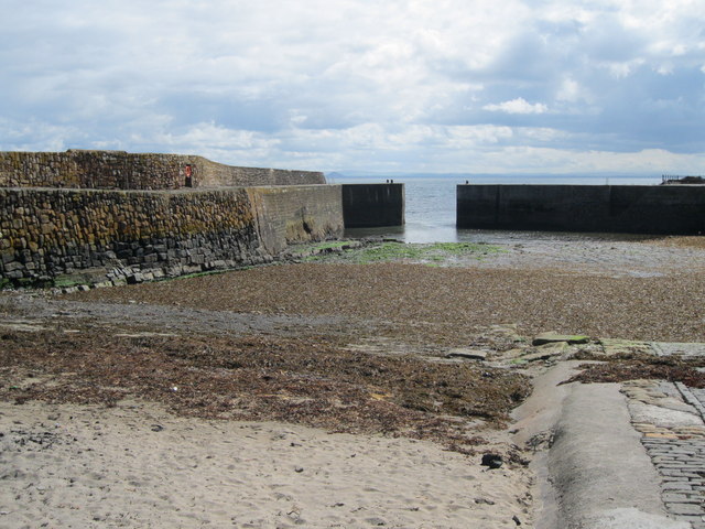
Bruce's Skelly is a prominent coastal feature located in Fife, Scotland. This headland, also referred to as a point, is situated on the eastern coast of Scotland, overlooking the North Sea. It is named after the nearby village of Bruce's Skelly, which is known for its stunning natural beauty.
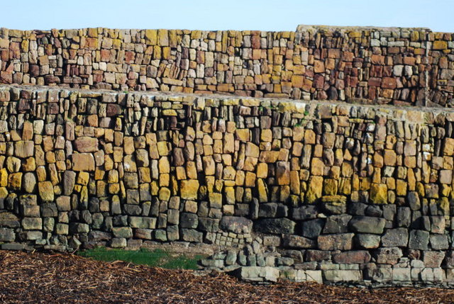
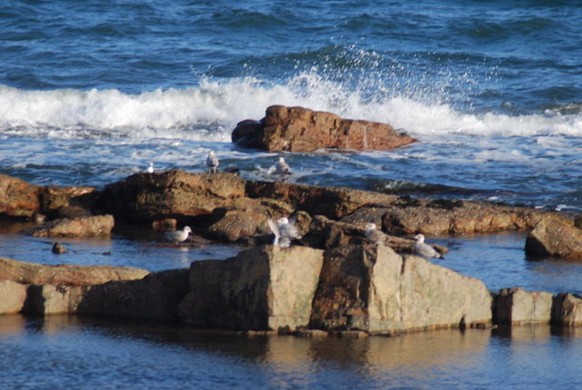
The headland is characterized by its rugged cliffs and rocky shoreline, which provide a dramatic backdrop to the surrounding landscape. The cliffs are made up of sedimentary rock, showcasing layers that have been formed over millions of years. These geological formations offer a glimpse into the region's ancient history and provide a valuable source of information for geologists and researchers.
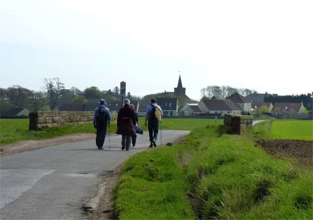
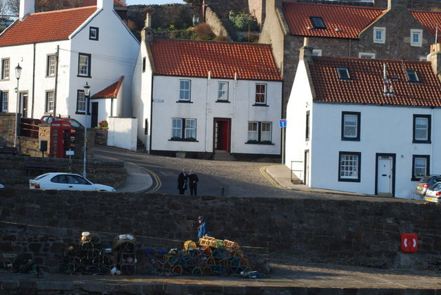
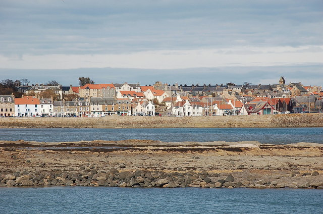
Bruce's Skelly is an important landmark for both locals and tourists, attracting visitors from near and far. It offers breathtaking views of the sea and the surrounding coastal areas, making it a popular spot for photographers and nature enthusiasts. The headland is also home to a diverse range of flora and fauna, with various species of plants and seabirds inhabiting the area.
In addition to its natural beauty, Bruce's Skelly has a rich cultural and historical significance. The nearby village of Bruce's Skelly is named after Robert the Bruce, a renowned Scottish king who played a crucial role in the country's history. The headland serves as a reminder of Scotland's past and its connection to its legendary figures.
Overall, Bruce's Skelly is a captivating coastal feature, blending natural beauty, geological significance, and historical importance. It offers a unique experience for visitors, providing a glimpse into Scotland's stunning coastline and its rich cultural heritage.
If you have any feedback on the listing, please let us know in the comments section below.
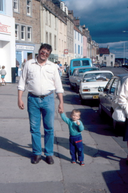
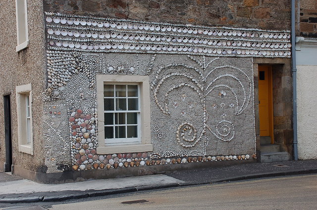
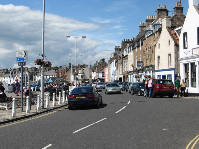
Bruce's Skelly Images
Images are sourced within 2km of 56.222718/-2.6844155 or Grid Reference NO5703. Thanks to Geograph Open Source API. All images are credited.


Bruce's Skelly is located at Grid Ref: NO5703 (Lat: 56.222718, Lng: -2.6844155)
Unitary Authority: Fife
Police Authority: Fife
What 3 Words
///hits.clipboard.gushes. Near Anstruther, Fife
Nearby Locations
Related Wikis

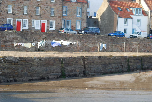
Cellardyke
Cellardyke is a village in the East Neuk of Fife, Scotland. The village is to the immediate east of Anstruther (the two effectively being conjoined) and...

Cellardyke Town Hall
Cellardyke Town Hall is a municipal structure in Tolbooth Wynd, Cellardyke, Fife, Scotland. The building accommodates a local history museum and is also...

Scottish Fisheries Museum
The Scottish Fisheries Museum is a museum in Anstruther, Fife, that records the history of the Scottish fishing industry and its people from earliest times...

Anstruther Lifeboat Station
Anstruther Lifeboat Station is a Royal National Lifeboat Institution (RNLI) station located in the town of Anstruther, Fife. The station has been in operation...
Nearby Amenities
Located within 500m of 56.222718,-2.6844155Have you been to Bruce's Skelly?
Leave your review of Bruce's Skelly below (or comments, questions and feedback).