Ness of Geostane
Coastal Feature, Headland, Point in Orkney
Scotland
Ness of Geostane
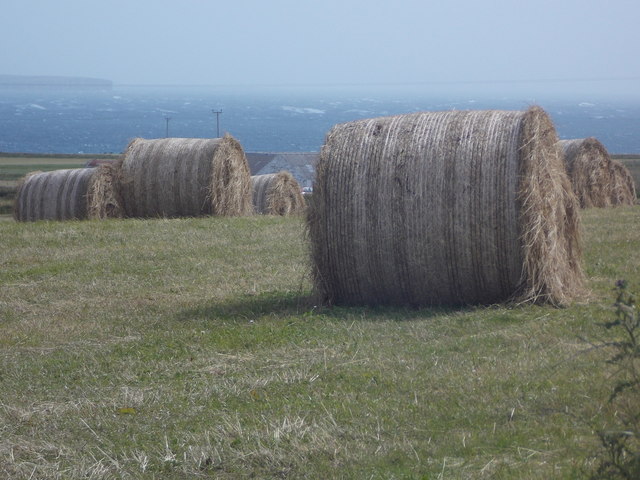
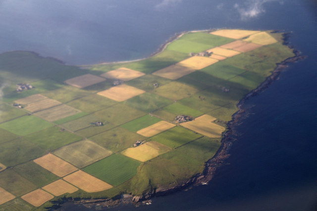
Ness of Geostane is a prominent coastal feature located in the Orkney Islands, Scotland. It is a headland and point that juts out into the North Sea, offering breathtaking views of the surrounding landscape. Geologically, it is composed of rugged cliffs and rocky outcrops, formed by centuries of erosion caused by the relentless crashing waves.
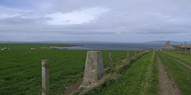
The headland is characterized by its imposing height, standing tall above the sea level. It serves as a natural boundary between the vast expanse of the ocean and the nearby land. The cliffs that line the Ness of Geostane are home to a variety of seabirds, including puffins, fulmars, and guillemots, making it a popular spot for birdwatching enthusiasts.
The coastal area surrounding the Ness of Geostane is also known for its rich marine life. The crystal-clear waters are teeming with diverse species of fish, making it a favorite spot for fishing enthusiasts. The rugged terrain and jagged rocks also make it an ideal location for adventurous activities like rock climbing and coastal hiking.
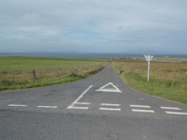
Visitors to the Ness of Geostane can expect to be awestruck by the raw natural beauty of the area. The dramatic cliffs, the crashing waves, and the distant horizon create a sense of tranquility and awe. The headland is easily accessible by foot, offering various walking trails that provide stunning panoramic views of the surrounding coastline.
Overall, Ness of Geostane is a captivating coastal feature that showcases the untamed beauty of the Orkney Islands. It is a must-visit destination for nature lovers, offering a unique and unforgettable experience.
If you have any feedback on the listing, please let us know in the comments section below.
Ness of Geostane Images
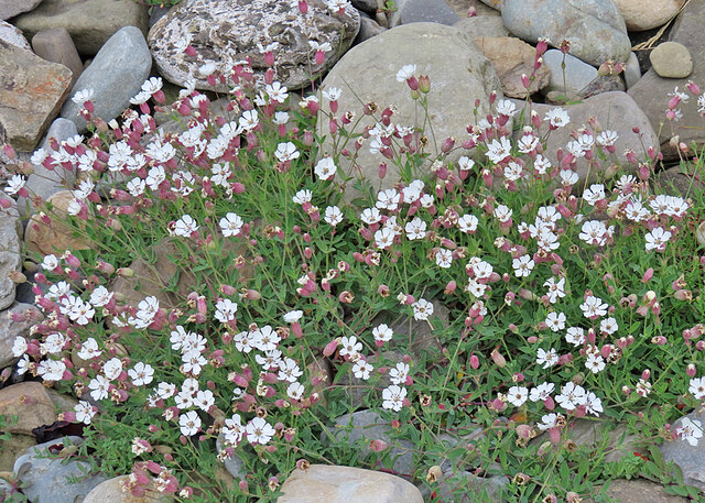
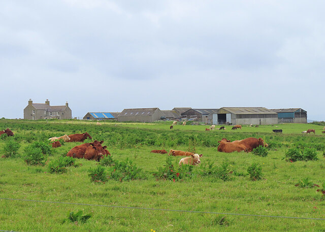
Images are sourced within 2km of 59.064405/-2.8100645 or Grid Reference HY5319. Thanks to Geograph Open Source API. All images are credited.
Ness of Geostane is located at Grid Ref: HY5319 (Lat: 59.064405, Lng: -2.8100645)
Unitary Authority: Orkney Islands
Police Authority: Highlands and Islands
What 3 Words
///monopoly.succumbs.vans. Near Balfour, Orkney Islands
Nearby Locations
Related Wikis

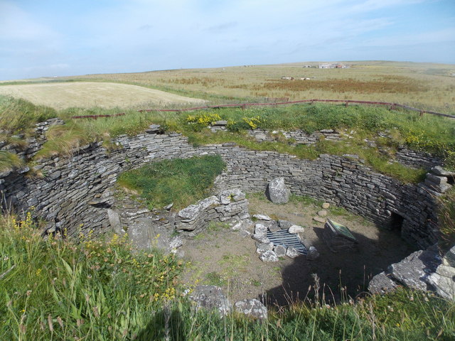
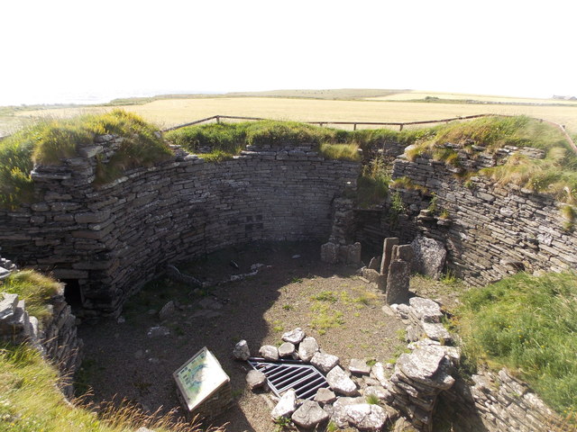
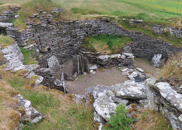
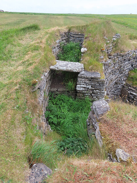
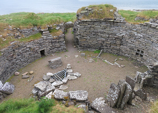
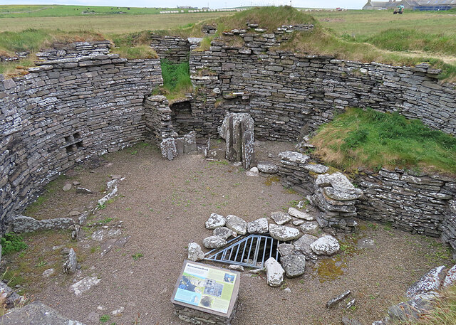
Burroughston Broch
Burroughston Broch is an Iron Age broch located on the island of Shapinsay in the Orkney Islands, in Scotland (grid reference HY54062100). The site overlooks...

Linton Chapel
Linton Chapel is a ruined chapel on the east coast of Shapinsay, Orkney (Grid Reference HY5218). The chapel is thought to date as early as the 12th century...

Bay of Linton
The Bay of Linton is a bay on the east coast on the island of Shapinsay in the Orkney Islands, Scotland. To the north of Linton Bay are the headlands...

Quholm
Quholm (grid reference HY5221) is a hamlet in the northeast of Shapinsay, in the islands of Orkney, Scotland. It is located between the Loch of Stenness...

Lairo Water
Lairo Water is a surface water body known as an ayre situated on the western coast of Shapinsay in the Orkney Islands. This brackish water body is separated...

Veantro Bay
Veantro Bay is a bay on the northwest coast of Shapinsay in the Orkney Islands, Scotland.At the head of the bay is a large stone, thought to be associated...

The Ouse
The Ouse is a tidal estuary in northern Shapinsay, Orkney Islands. This water body has been shown on early maps of the island in a very similar shape to...

Mor Stein
Mor Stein is a neolithic standing stone in the southeastern part of the island of Shapinsay, Orkney Islands, Scotland. Shapinsay is one of the two large...
Nearby Amenities
Located within 500m of 59.064405,-2.8100645Have you been to Ness of Geostane?
Leave your review of Ness of Geostane below (or comments, questions and feedback).