Chapel Taing

Coastal Feature, Headland, Point in Orkney

Scotland

Chapel Taing

Toab A field beside Bay of Suckquoy.
Toab Credit: Richard Webb

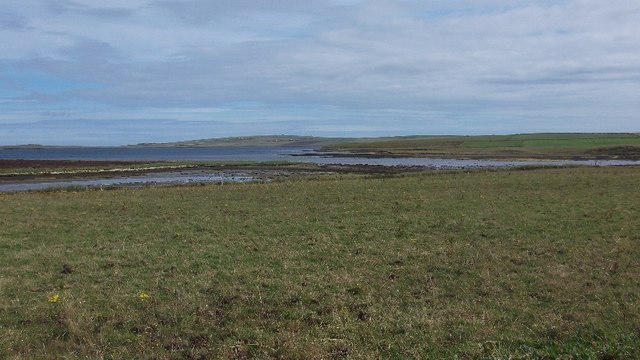
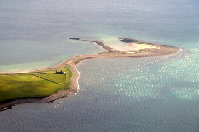
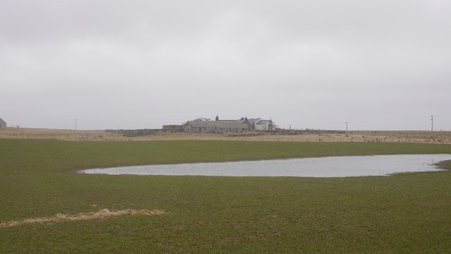
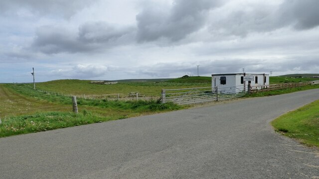
Chapel Taing is a prominent coastal feature located in Orkney, Scotland. Situated on the northeastern coast of the Mainland, the largest island in the Orkney archipelago, Chapel Taing is characterized by its distinct headland formation and picturesque coastal views.

The name "Chapel Taing" is derived from the Old Norse language, where "taing" refers to a small, narrow strip of land. This description accurately captures the physical characteristics of this coastal feature, as Chapel Taing is a narrow, elongated headland that juts out into the North Sea.

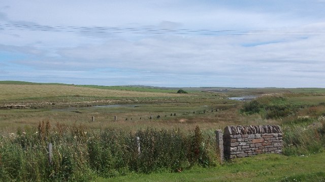
The rugged cliffs of Chapel Taing showcase the area's geological history, with layers of sedimentary rock clearly visible along the coastline. The headland is composed primarily of sandstone and shale, showcasing the natural erosion and weathering processes that have shaped the Orkney landscape over millions of years.

In addition to its geological significance, Chapel Taing also holds historical and cultural importance. The name "Chapel" suggests the presence of a religious structure in the past, although no remains or records of such a chapel have been discovered. Instead, it is believed that the name may be a reference to an ancient burial ground or a place of worship that has been lost to time.

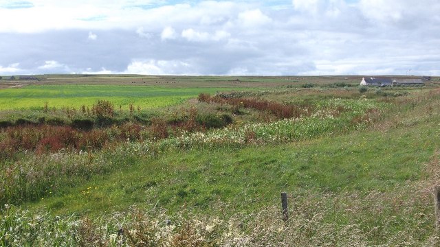
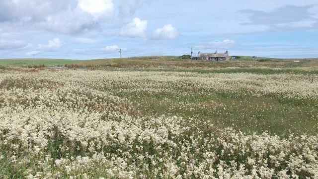
Today, Chapel Taing is a popular destination for locals and tourists alike, who are drawn to the area's natural beauty and stunning coastal vistas. The headland offers breathtaking views of the surrounding sea, with opportunities for birdwatching, coastal walks, and photography. Whether it is exploring the geological formations, immersing oneself in the rich history, or simply enjoying the serene atmosphere, Chapel Taing is a captivating coastal feature that showcases the unique beauty of Orkney.

If you have any feedback on the listing, please let us know in the comments section below.
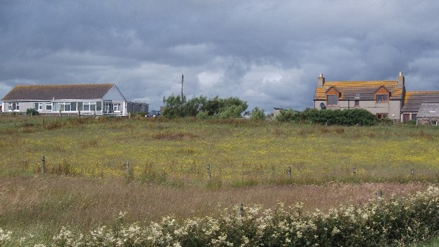
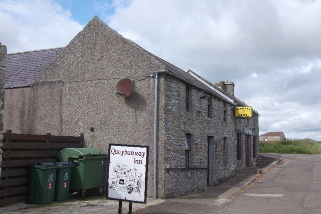
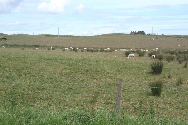
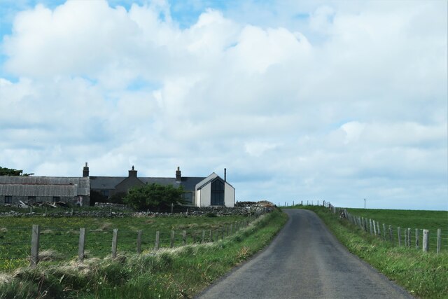
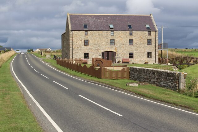
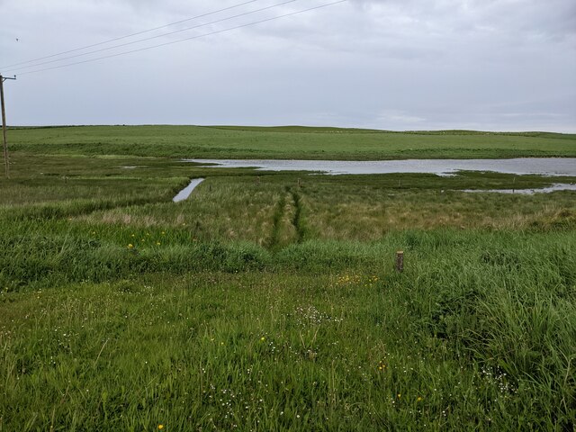
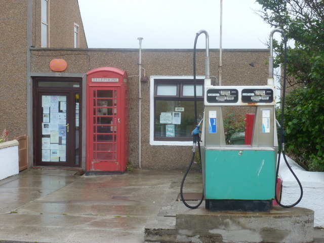
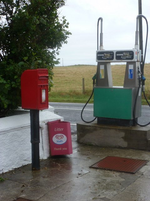
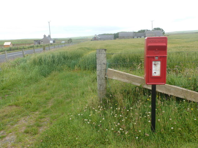
Chapel Taing Images

Images are sourced within 2km of 58.934249/-2.8237769 or Grid Reference HY5205. Thanks to Geograph Open Source API. All images are credited.

Toab A field beside Bay of Suckquoy.
Toab
A field beside Bay of Suckquoy.
Estuary, Toab A tidal inlet at the head of Bay of Suckquoy.
Estuary, Toab
A tidal inlet at the head of Bay of Suckquoy.
Horsick Coastal farmland, Toab.
Horsick
Coastal farmland, Toab.
Meadowsweet, Millbrae Vast area of the ever popular fragrant wetland plant.
Meadowsweet, Millbrae
Vast area of the ever popular fragrant wetland plant.
Milldam Orkney hay meadows.
Milldam
Orkney hay meadows.
Quoyburray Inn
Quoyburray Inn
Sheep, Quoyburray A field opposite the pub.
Sheep, Quoyburray
A field opposite the pub.
Mirkady Point, Deerness, from the air
Flooded field, Hawell Pasture, Tankerness
Flooded field, Hawell
Pasture, Tankerness
Old Milestone by the A960, St Ola, Kirkwall parish Stone post by the A960, in parish of Kirkwall, St Ola (Mainland District), East of bungalow, on verge, on rise, South side of road.

Inscription reads:-
: K / 7 : : D / 4¾ :
(To Kirkwall and Deerness)

Surveyed

Milestone Society National ID: OR_KWDN07
Old Milestone by the A960, St Ola, Kirkwall parish
Stone post by the A960, in parish of Kirkwall, St Ola (Mainland District), East of bungalow, on verge, on rise, South side of road. Inscription reads:- : K / 7 : : D / 4¾ : (To Kirkwall and Deerness) Surveyed Milestone Society National ID: OR_KWDN07
Dark wood Unmanaged conifer woodland in Orkney is rare.  The block of Norway Spruce is protected by a few mature broadleaves, mostly sycamore but with a few rowan.
Within the wood it is dark and generally devoid of undergrowth, except where the light penetrates near the edges.
The road and woodland straddles the old broch of Long Howe and is not very far from the mysterious Mine Howe <span class="nowrap"><a title="http://www.orkneyjar.com/history/minehowe/index.html" rel="nofollow ugc noopener" href="http://www.orkneyjar.com/history/minehowe/index.html">Link</a><img style="margin-left:2px;" alt="External link" title="External link - shift click to open in new window" src="https://s1.geograph.org.uk/img/external.png" width="10" height="10"/></span>
Dark wood
Unmanaged conifer woodland in Orkney is rare. The block of Norway Spruce is protected by a few mature broadleaves, mostly sycamore but with a few rowan. Within the wood it is dark and generally devoid of undergrowth, except where the light penetrates near the edges. The road and woodland straddles the old broch of Long Howe and is not very far from the mysterious Mine Howe LinkExternal link
Mine Howe Iron Age Settlement Once a hive of activity now deserted. <span class="nowrap"><a title="https://canmore.org.uk/site/2998/tankerness-mine-howe" rel="nofollow ugc noopener" href="https://canmore.org.uk/site/2998/tankerness-mine-howe">Link</a><img style="margin-left:2px;" alt="External link" title="External link - shift click to open in new window" src="https://s1.geograph.org.uk/img/external.png" width="10" height="10"/></span>
Mine Howe Iron Age Settlement
Once a hive of activity now deserted. LinkExternal link
Smart property, Tankerness Minor road passing Hawell, which appears to have a rather smart extension with a huge window in the gable end.
Smart property, Tankerness
Minor road passing Hawell, which appears to have a rather smart extension with a huge window in the gable end.
Sebay Mill Former mill converted into holiday apartments.
Sebay Mill
Former mill converted into holiday apartments.
Where the Burn of Langskaill joins the Bay of Suckquoy
Toab: the post office More than just a village store - petrol filling station and part-time post office too.
Toab: the post office
More than just a village store - petrol filling station and part-time post office too.
Toab: postbox № KW17 33 This postbox stands on the forecourt of <a href="https://www.geograph.org.uk/photo/2609808">HY5204 : Toab: the post office</a> and is emptied finally at 11:45am on weekdays and Saturdays.
Toab: postbox № KW17 33
This postbox stands on the forecourt of HY5204 : Toab: the post office and is emptied finally at 11:45am on weekdays and Saturdays.
Quoyburray: postbox № KW17 27 This postbox stands alongside the A960, at the turning of a track to a house set back from the road. It dates from no earlier than 1994 - we can tell that because it has the words ROYAL MAIL rather than POST OFFICE above the slot. It is emptied at 11:15 each weekday and Saturday morning.
Quoyburray: postbox № KW17 27
This postbox stands alongside the A960, at the turning of a track to a house set back from the road. It dates from no earlier than 1994 - we can tell that because it has the words ROYAL MAIL rather than POST OFFICE above the slot. It is emptied at 11:15 each weekday and Saturday morning.
Show me another place!

Chapel Taing is located at Grid Ref: HY5205 (Lat: 58.934249, Lng: -2.8237769)

Unitary Authority: Orkney Islands

Police Authority: Highlands and Islands

What 3 Words

///graph.brushing.webcams. Near Tankerness, Orkney Islands

Related Wikis

Mine Howe

Mine Howe is an Iron Age subterranean man-made chamber dug 6 meters (20 feet) deep inside a large mound. It is located in the Tankerness area of Orkney...

Toab, Orkney

Toab is a parish on the Orkney Mainland, situated in the East Mainland. Toab is located off the A960 road at the head of Deer Sound on the Mainland, Orkney...

Tankerness

Tankerness is a district in the St Andrews parish in Mainland, Orkney, Scotland. Essentially a peninsula, it is about 13 kilometres (8 mi) south-east of...

St Peter's Pool, Orkney

St Peter's Pool is a bay in the East Mainland of Orkney, Scotland. This bay was the site of significant coastal defences during World War II, when a German...

Have you been to Chapel Taing?

Leave your review of Chapel Taing below (or comments, questions and feedback).