Ness of Howe
Coastal Feature, Headland, Point in Orkney
Scotland
Ness of Howe
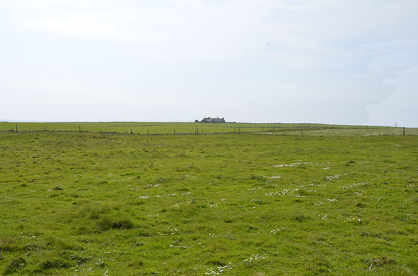
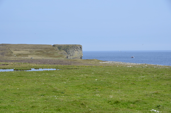
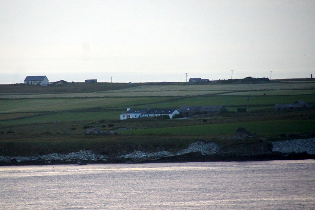
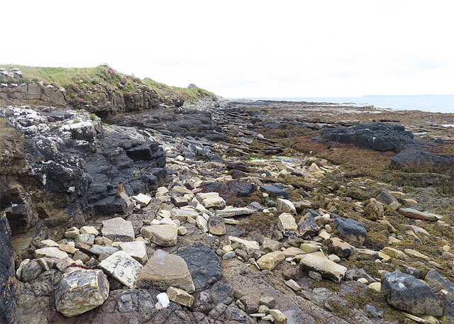
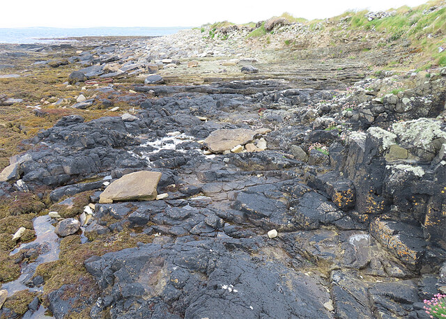
Ness of Howe is a prominent headland located on the eastern coast of the Orkney Islands in Scotland. It is situated in the parish of Deerness, about 8 kilometers northeast of the town of Kirkwall. The headland is formed by a narrow strip of land that juts out into the North Sea, creating a distinctive point along the coast.
Ness of Howe is known for its dramatic cliffs, which rise up to 50 meters above sea level. The rugged and rocky coastline provides a stunning backdrop for visitors and offers breathtaking views of the surrounding ocean. The headland is also home to a variety of seabirds, making it a popular spot for birdwatchers.
At the tip of Ness of Howe stands a prominent lighthouse, known as the Cantick Head Lighthouse. Built in 1858, this historic structure serves as a navigational aid for ships passing through the area. The lighthouse has a distinctive white tower and is still in operation today.
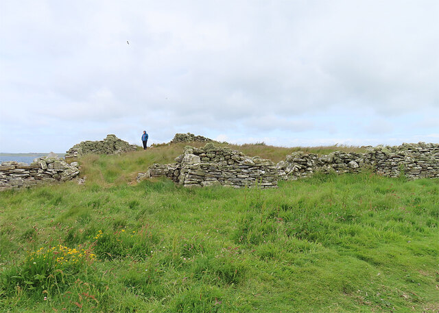
In addition to its natural beauty, Ness of Howe has historical significance. The headland is believed to have been inhabited since prehistoric times, with evidence of Neolithic settlements nearby. The area also played a role during World War II when it was used as a radar station to monitor the North Sea.
Ness of Howe is a popular destination for outdoor enthusiasts, offering opportunities for hiking, birdwatching, and photography. Its unique combination of natural beauty, historical significance, and stunning views make it a must-visit location for visitors to the Orkney Islands.
If you have any feedback on the listing, please let us know in the comments section below.
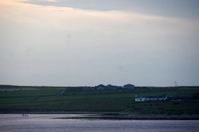
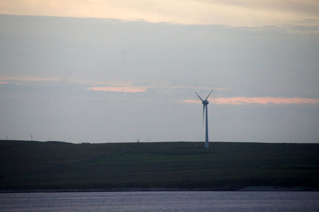
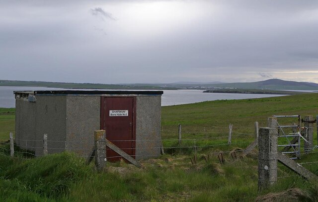
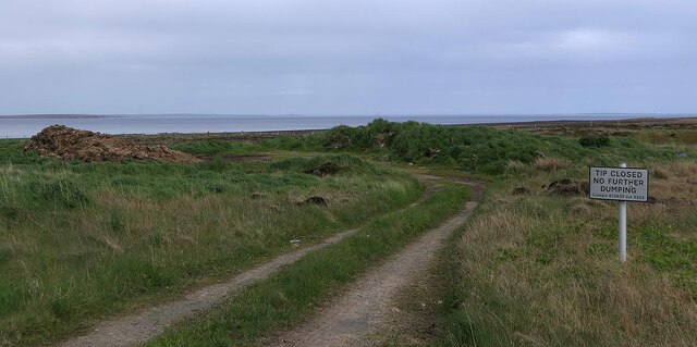
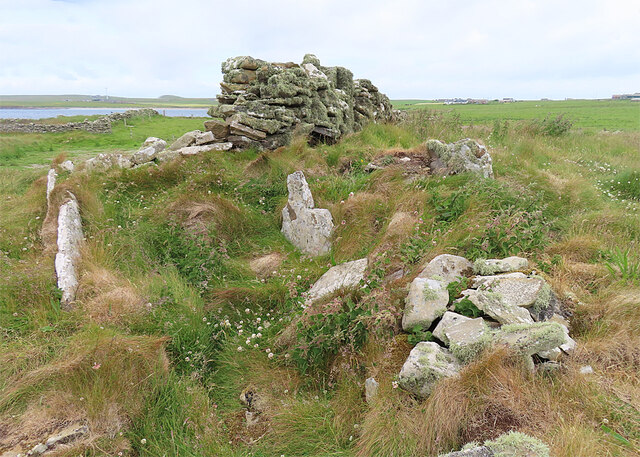
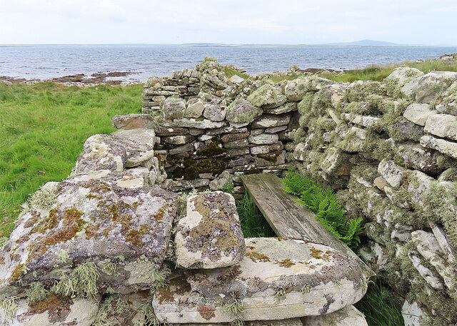
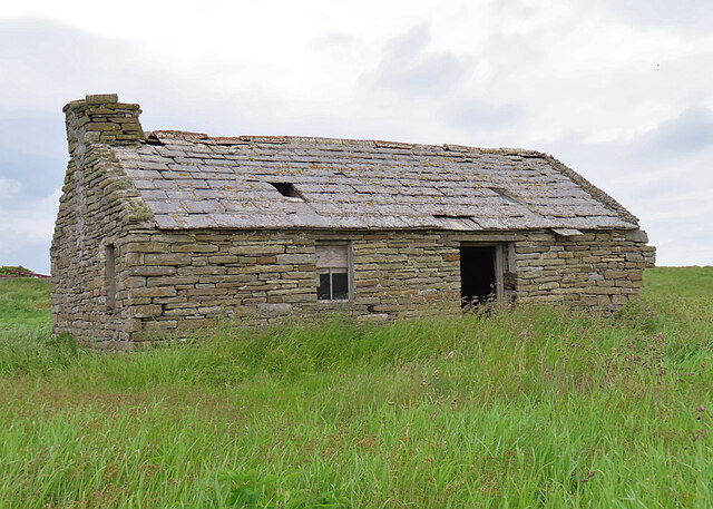
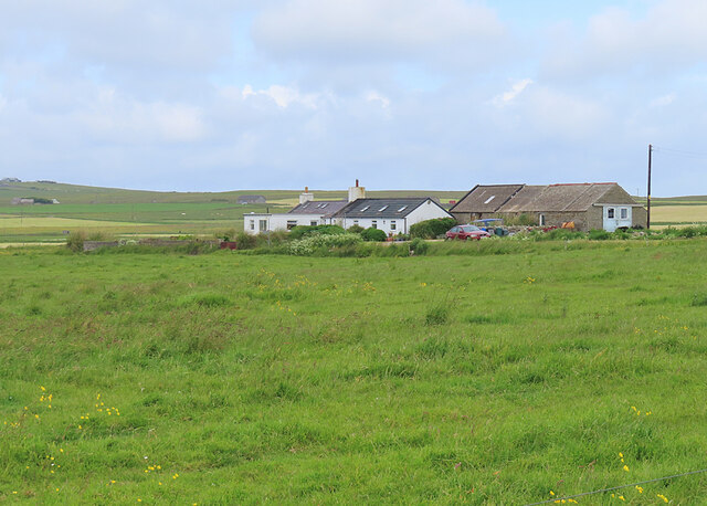
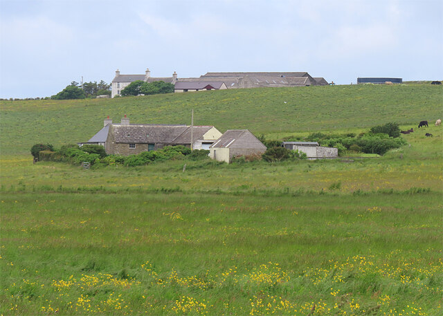
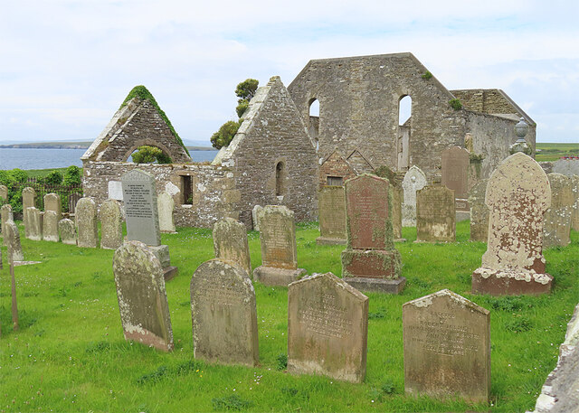
Ness of Howe Images
Images are sourced within 2km of 59.024407/-2.8461725 or Grid Reference HY5115. Thanks to Geograph Open Source API. All images are credited.
Ness of Howe is located at Grid Ref: HY5115 (Lat: 59.024407, Lng: -2.8461725)
Unitary Authority: Orkney Islands
Police Authority: Highlands and Islands
What 3 Words
///chucks.crumples.cracker. Near Balfour, Orkney Islands
Nearby Locations
Related Wikis

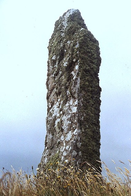
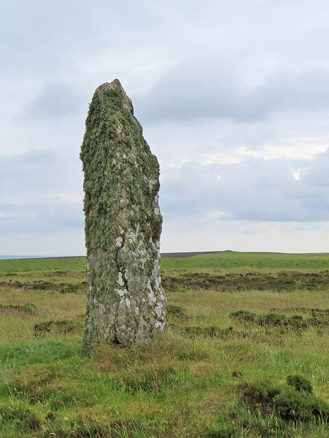
Mor Stein
Mor Stein is a neolithic standing stone in the southeastern part of the island of Shapinsay, Orkney Islands, Scotland. Shapinsay is one of the two large...

Castle Bloody
Castle Bloody is a prehistoric feature on the island of Shapinsay, Orkney, Scotland. Hogan observes that while the feature is marked as a chambered mound...

Bay of Linton
The Bay of Linton is a bay on the east coast on the island of Shapinsay in the Orkney Islands, Scotland. To the north of Linton Bay are the headlands...

Helliar Holm
Helliar Holm is an uninhabited island off the coast of Shapinsay in the Orkney Islands, Scotland. It is home to a 42-foot-tall (13 m) lighthouse, which...
Nearby Amenities
Located within 500m of 59.024407,-2.8461725Have you been to Ness of Howe?
Leave your review of Ness of Howe below (or comments, questions and feedback).