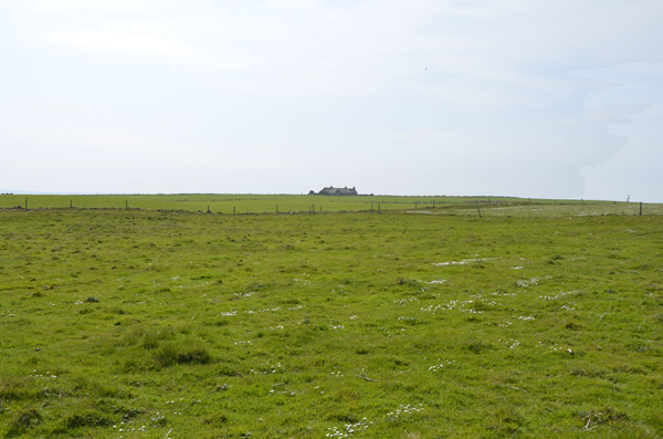
Bay of Sandgarth
Bay in Orkney
Scotland
Bay of Sandgarth
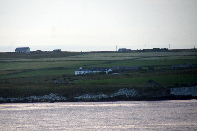
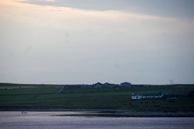
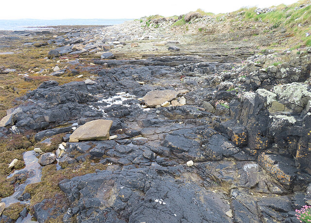
The Bay of Sandgarth is a picturesque coastal area located in the Orkney Islands, Scotland. Situated on the eastern coast of the Mainland, the largest island in the Orkney archipelago, the bay offers stunning views of the North Sea and the surrounding rugged landscape.
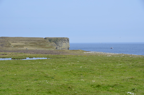
The bay is renowned for its sandy beach, which stretches for approximately one kilometer along the coastline. With its golden sands and crystal-clear waters, it is a popular spot for locals and tourists alike, especially during the summer months. The beach is ideal for sunbathing, picnicking, and leisurely walks, offering a tranquil and peaceful atmosphere.
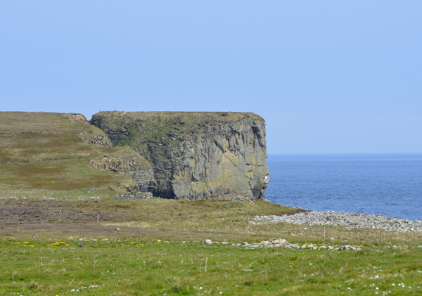
The Bay of Sandgarth is also known for its rich biodiversity. The surrounding waters are home to a diverse array of marine life, including seals, dolphins, and a variety of seabirds. Nature enthusiasts can enjoy birdwatching and spotting various species such as puffins, guillemots, and kittiwakes that frequent the cliffs and shoreline.
The bay's location makes it an excellent starting point for exploring the nearby attractions and landmarks of Orkney. Visitors can easily access the historic sites of Skara Brae, the Ring of Brodgar, and the Standing Stones of Stenness, all within a short distance from the bay.
Overall, the Bay of Sandgarth offers a beautiful coastal retreat, combining natural beauty, tranquility, and opportunities for exploration, making it a must-visit destination for nature lovers and history enthusiasts in Orkney.
If you have any feedback on the listing, please let us know in the comments section below.
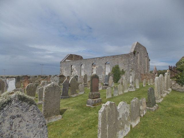
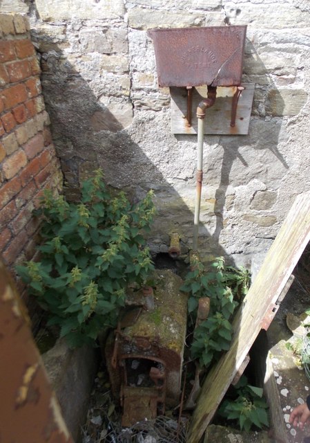
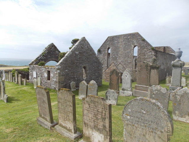
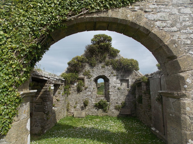
Bay of Sandgarth Images
Images are sourced within 2km of 59.023061/-2.8404613 or Grid Reference HY5115. Thanks to Geograph Open Source API. All images are credited.

Bay of Sandgarth is located at Grid Ref: HY5115 (Lat: 59.023061, Lng: -2.8404613)
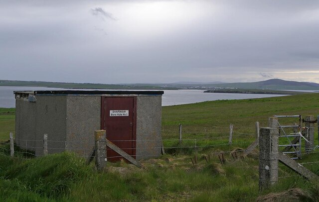
Unitary Authority: Orkney Islands
Police Authority: Highlands and Islands
What 3 Words
///commit.canyons.community. Near Balfour, Orkney Islands
Nearby Locations
Related Wikis

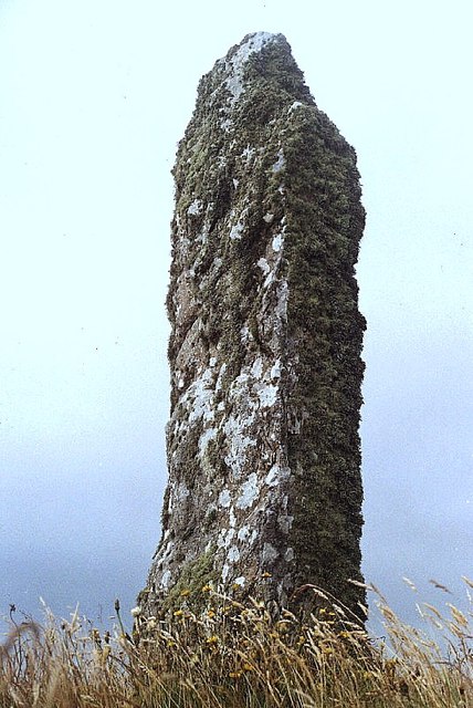
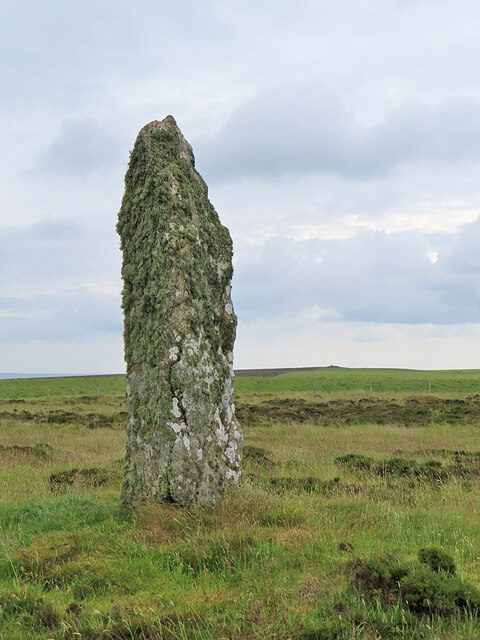
Mor Stein
Mor Stein is a neolithic standing stone in the southeastern part of the island of Shapinsay, Orkney Islands, Scotland. Shapinsay is one of the two large...

Castle Bloody
Castle Bloody is a prehistoric feature on the island of Shapinsay, Orkney, Scotland. Hogan observes that while the feature is marked as a chambered mound...

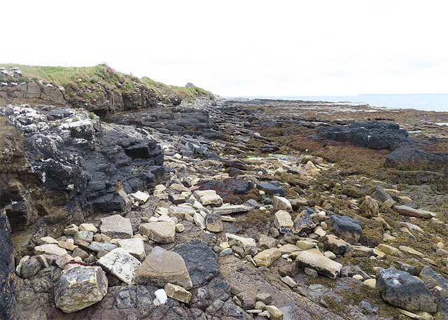
Bay of Linton
The Bay of Linton is a bay on the east coast on the island of Shapinsay in the Orkney Islands, Scotland. To the north of Linton Bay are the headlands...

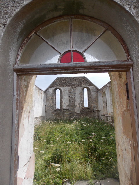
Linton Chapel
Linton Chapel is a ruined chapel on the east coast of Shapinsay, Orkney (Grid Reference HY5218). The chapel is thought to date as early as the 12th century...
Nearby Amenities
Located within 500m of 59.023061,-2.8404613Have you been to Bay of Sandgarth?
Leave your review of Bay of Sandgarth below (or comments, questions and feedback).