Fessibar
Coastal Feature, Headland, Point in Orkney
Scotland
Fessibar
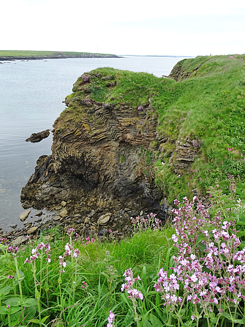
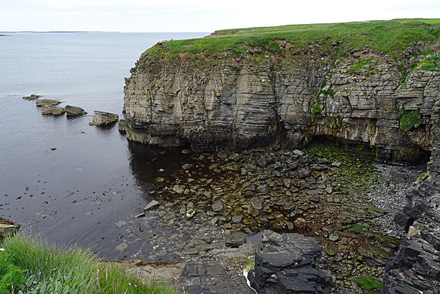
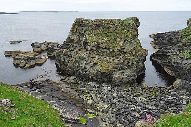
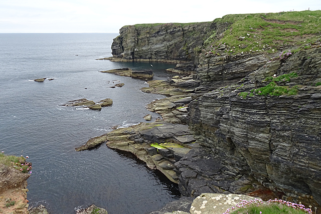
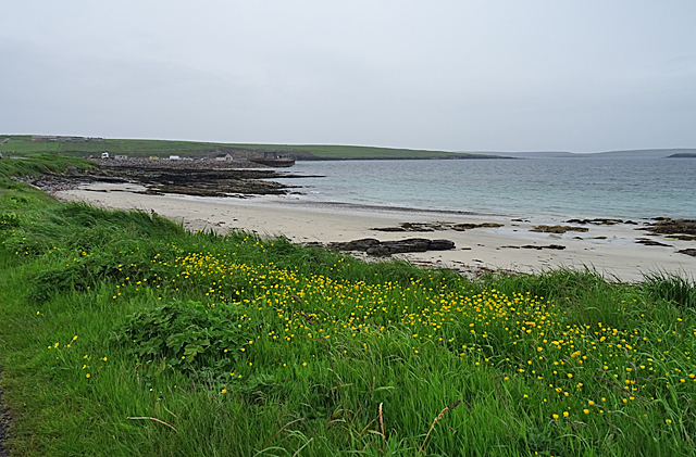
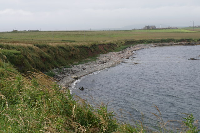
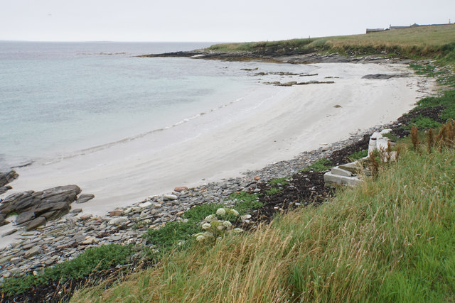
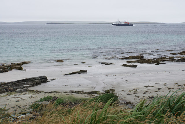
Fessibar is a prominent coastal feature located on the Orkney Islands, situated off the northeastern coast of Scotland. It is a headland that juts out into the North Sea, forming a distinctive point along the rugged coastline. Fessibar offers breathtaking views of the surrounding seascape and is a popular destination for nature enthusiasts and outdoor adventurers.
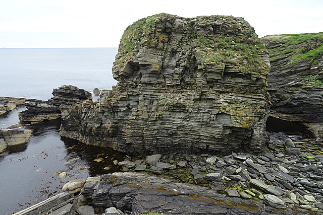
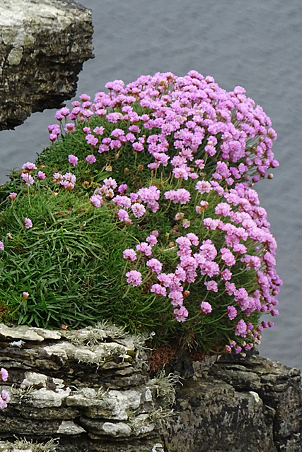
The headland is characterized by its towering cliffs, reaching heights of up to 100 meters (330 feet) above sea level. The cliffs are composed of layered sandstone and have been eroded over centuries by the relentless force of the ocean waves. This erosion has created stunning geological formations, such as sea stacks and caves, adding to the allure of Fessibar.
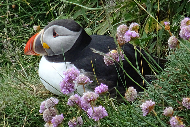
The headland is also known for its diverse wildlife. The surrounding waters are teeming with marine life, including seals, dolphins, and various species of seabirds. Visitors to Fessibar may be lucky enough to spot puffins, gannets, or even the majestic white-tailed sea eagle.
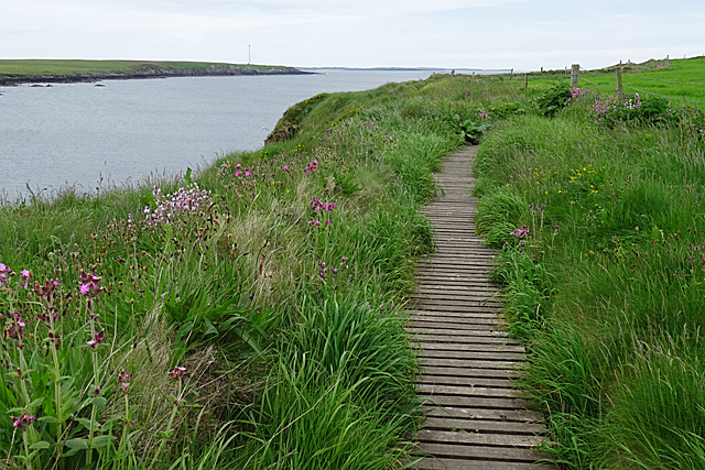
Access to Fessibar is relatively easy, with a well-maintained footpath leading to the headland. This path offers hikers and walkers the opportunity to explore the area's natural beauty at their own pace. The headland is also equipped with viewing platforms and benches, providing visitors with ideal vantage points to appreciate the stunning coastal scenery.
Fessibar is a must-visit destination for those seeking a captivating coastal experience in Orkney. Its dramatic cliffs, diverse wildlife, and breathtaking views make it a truly remarkable place to explore.
If you have any feedback on the listing, please let us know in the comments section below.
Fessibar Images
Images are sourced within 2km of 59.256007/-2.8882613 or Grid Reference HY4941. Thanks to Geograph Open Source API. All images are credited.
Fessibar is located at Grid Ref: HY4941 (Lat: 59.256007, Lng: -2.8882613)
Unitary Authority: Orkney Islands
Police Authority: Highlands and Islands
What 3 Words
///expanded.fixed.whisker. Near Pierowall, Orkney Islands
Related Wikis

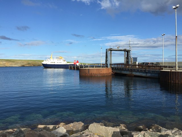
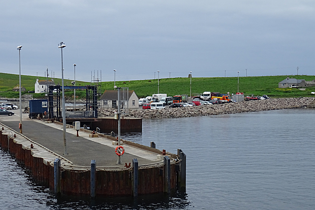
Rapness
Rapness is a settlement on the island of Westray in Orkney, Scotland. The slipway is the ferry terminal for the Orkney Ferries crossing from Kirkwall on...

Holm of Faray
The Holm of Faray is a small island in Orkney, Scotland, near Faray and Westray, which it lies between. Together with its neighbour Faray, it is designated...

Westside Church
Westside Church, (also known as Cross Kirk), is a ruined 12th century church located on the island of Westray in Orkney, Scotland. Archaeological excavations...

Rusk Holm
Rusk Holm is a small island in the Orkney Islands, near Faray to the west. == History == There is a prehistoric cairn on it . Rusk Holm is also home to...

Faray
Faray (Old Norse: Færey) is a small island in Orkney, Scotland, lying between Eday and Westray. Previously inhabited, the low-lying island is now a successful...

Vinquoy chambered cairn
Vinquoy chambered cairn (grid reference HY56013809) is a Neolithic chambered cairn located on the island of Eday, in Orkney, Scotland. The tomb probably...

Westray
Westray (, Scots: Westree) is one of the Orkney Islands in Scotland, with a usual resident population of just under 600 people. Its main village is Pierowall...

Pierowall
Pierowall is a village of Westray in the Orkney Islands, off the coast of the northern Scottish mainland. The village is the island's largest settlement...
Nearby Amenities
Located within 500m of 59.256007,-2.8882613Have you been to Fessibar?
Leave your review of Fessibar below (or comments, questions and feedback).