Fishcarling Head
Coastal Feature, Headland, Point in Westmorland South Lakeland
England
Fishcarling Head

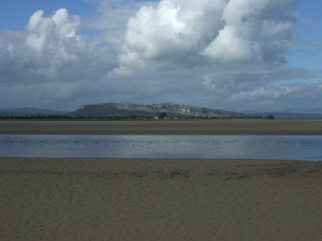
Fishcarling Head is a prominent headland located in Westmorland, a coastal county in the northwestern region of England. Situated along the picturesque coastline, it offers breathtaking views of the Irish Sea and is a popular destination for locals and tourists alike.
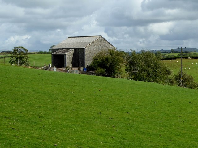
The headland is characterized by its rugged cliffs, which rise dramatically from the sea, providing a stunning backdrop for nature enthusiasts and photographers. The cliffs are composed of sedimentary rock, showcasing layers of different geological formations that have been shaped by the relentless forces of erosion over millions of years.
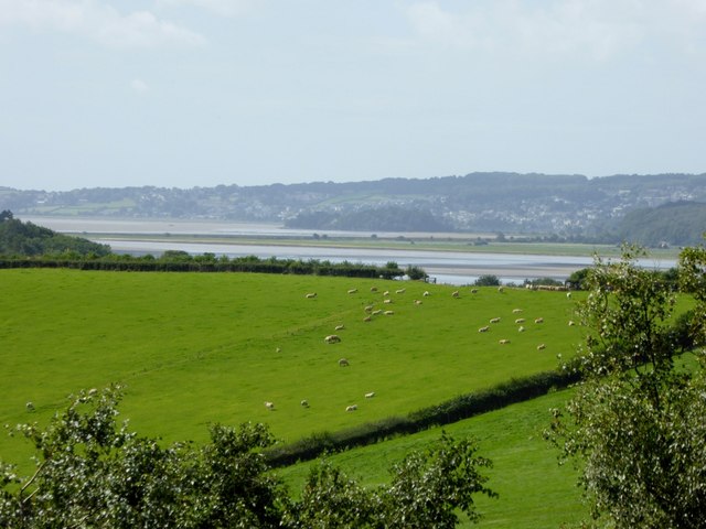
At the top of Fishcarling Head, there is a grassy plateau that offers a vantage point for visitors to take in the panoramic vistas of the surrounding coastline. On clear days, it is possible to see as far as the Isle of Man, adding to the allure of this coastal feature.
The area surrounding Fishcarling Head is abundant in marine life, making it a haven for birdwatchers and wildlife enthusiasts. Seabirds such as gulls, puffins, and cormorants can be observed nesting in the cliffs, while seals and dolphins are frequently spotted swimming in the waters below.
Access to Fishcarling Head is facilitated by a well-maintained footpath that leads visitors through a scenic coastal landscape. The headland is easily accessible by car or public transportation, and parking facilities are available nearby.
Overall, Fishcarling Head offers a unique combination of geological beauty, stunning coastal views, and abundant wildlife, making it a must-visit destination for nature lovers and outdoor enthusiasts in Westmorland.
If you have any feedback on the listing, please let us know in the comments section below.
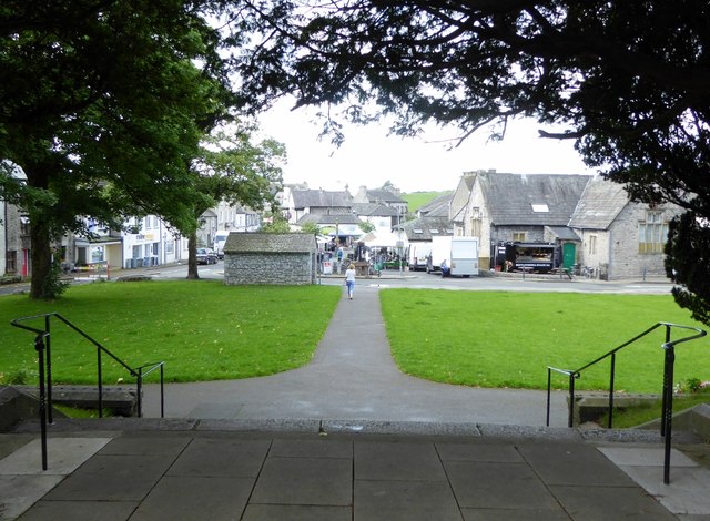
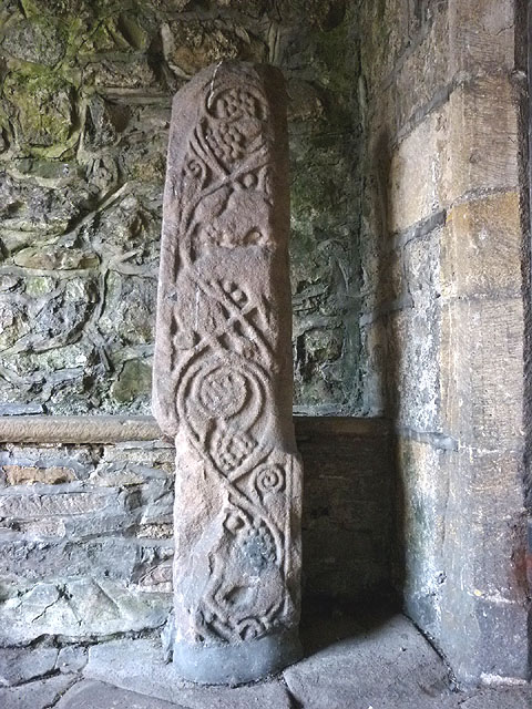
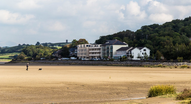
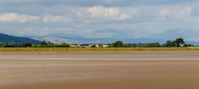
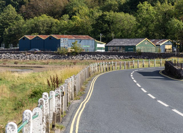
Fishcarling Head Images
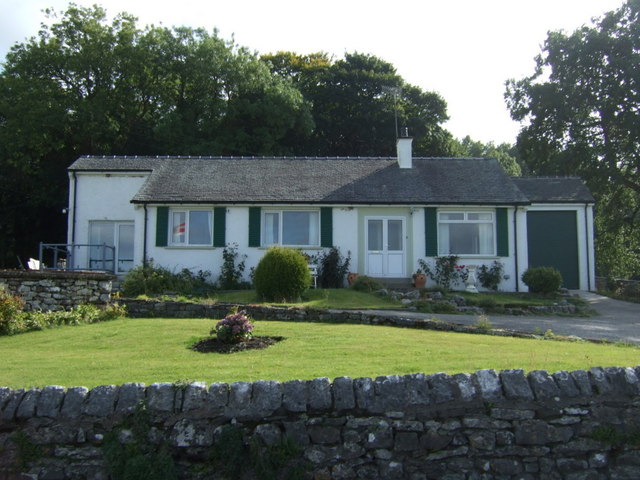
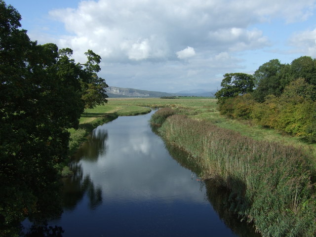
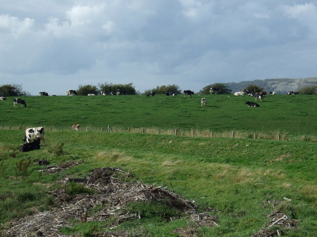
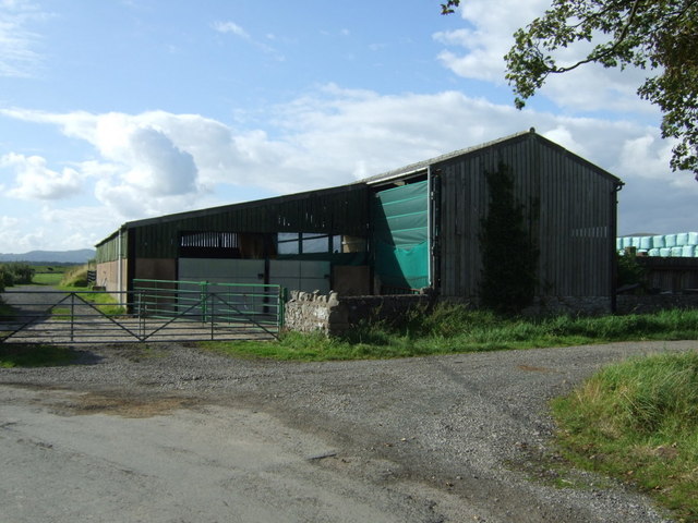
Images are sourced within 2km of 54.234013/-2.793551 or Grid Reference SD4882. Thanks to Geograph Open Source API. All images are credited.
Fishcarling Head is located at Grid Ref: SD4882 (Lat: 54.234013, Lng: -2.793551)
Administrative County: Cumbria
District: South Lakeland
Police Authority: Cumbria
What 3 Words
///hills.cheaply.euphoric. Near Milnthorpe, Cumbria
Nearby Locations
Related Wikis

River Bela
The River Bela is a short (approximately 4 miles (6.5 km)) river in the county of Cumbria, England. It is in the ancient county of Westmorland. The river...

Sandside railway station
Sandside was a railway station situated on the Hincaster Branch of the Furness Railway serving the hamlet and quarries of Sandside. The following station...
Sandside, Beetham
Sandside is a hamlet near Storth in Beetham parish, South Lakeland, Cumbria, England. Historically in Westmorland, it lies on the south shore of the estuary...
Heversham railway station
Heversham railway station served the village of Heversham, near Carnforth, with trains to Kendal and Grange over Sands along the Hincaster branch line...
Nearby Amenities
Located within 500m of 54.234013,-2.793551Have you been to Fishcarling Head?
Leave your review of Fishcarling Head below (or comments, questions and feedback).