Cal Geo
Coastal Feature, Headland, Point in Orkney
Scotland
Cal Geo

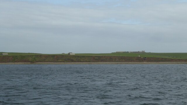
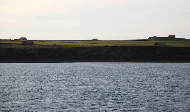
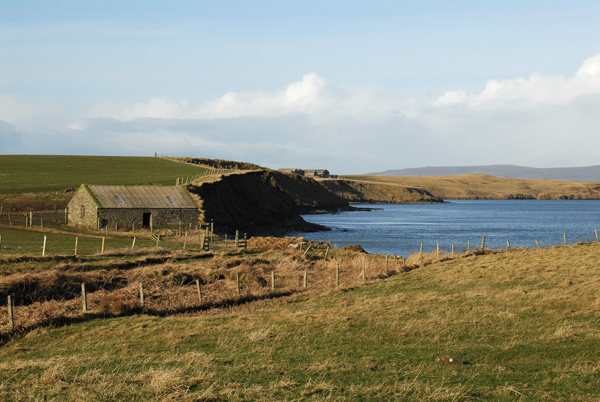
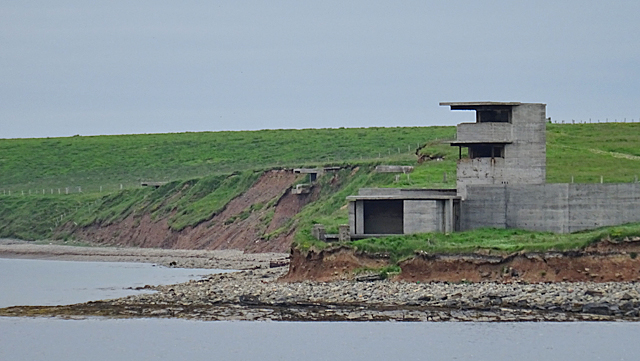
Cal Geo is a prominent coastal feature located in the Orkney archipelago, off the northeastern coast of Scotland. Situated on the mainland, it is characterized as a headland or point jutting out into the North Sea. Cal Geo is known for its stunning cliffs and rugged terrain, offering panoramic views of the surrounding coastal landscape.
The headland is composed of layers of sedimentary rock, primarily sandstone and shale, which have been shaped by millions of years of erosion. The cliffs at Cal Geo reach impressive heights, with some sections rising over 100 meters above sea level. These towering cliffs are a result of the relentless pounding of the waves against the land, gradually wearing away the softer rock layers.
Visitors to Cal Geo can witness the dramatic interplay between land and sea, as the crashing waves carve out caves and arches in the cliffs. The area is also home to a diverse range of seabirds, including guillemots, puffins, and kittiwakes, which nest in the crevices and ledges of the cliffs.
Access to Cal Geo is relatively easy, with a well-maintained footpath leading down to the headland. However, caution is advised near the cliff edges due to their steep nature and potential instability. The site is a popular destination for hikers, nature enthusiasts, and photographers, who are drawn to the wild beauty and geologic wonders of Cal Geo.
If you have any feedback on the listing, please let us know in the comments section below.
Cal Geo Images
Images are sourced within 2km of 59.072337/-2.9022444 or Grid Reference HY4820. Thanks to Geograph Open Source API. All images are credited.


Cal Geo is located at Grid Ref: HY4820 (Lat: 59.072337, Lng: -2.9022444)
Unitary Authority: Orkney Islands
Police Authority: Highlands and Islands
What 3 Words
///subsystem.part.nets. Near Balfour, Orkney Islands
Nearby Locations
Related Wikis

Veantro Bay
Veantro Bay is a bay on the northwest coast of Shapinsay in the Orkney Islands, Scotland.At the head of the bay is a large stone, thought to be associated...

Shapinsay
Shapinsay (, Scots: Shapinsee) is one of the Orkney Islands off the north coast of mainland Scotland. There is one village on the island, Balfour, from...

Vasa Loch
Vasa Loch is a brackish lagoon in southwestern Shapinsay, Orkney Islands. (Ordnance, 2002) This water body has been shown on early maps of the island...

The Ouse
The Ouse is a tidal estuary in northern Shapinsay, Orkney Islands. This water body has been shown on early maps of the island in a very similar shape to...

Lairo Water
Lairo Water is a surface water body known as an ayre situated on the western coast of Shapinsay in the Orkney Islands. This brackish water body is separated...

Sweyn Holm
Note: There is also a "Sweyn Holm" off St Ninian's Isle, Shetland Sweyn Holm is a small island in the Orkney Islands, next to Gairsay. It is thought to...

Mill Dam
Mill Dam is a wetland in western Shapinsay, in Orkney, Scotland. This water body was not shown on the 1840 survey map of the island, since it is a man...

Quholm
Quholm (grid reference HY5221) is a hamlet in the northeast of Shapinsay, in the islands of Orkney, Scotland. It is located between the Loch of Stenness...
Nearby Amenities
Located within 500m of 59.072337,-2.9022444Have you been to Cal Geo?
Leave your review of Cal Geo below (or comments, questions and feedback).