Geo of Swartmill

Coastal Feature, Headland, Point in Orkney

Scotland

Geo of Swartmill

Old Milestone by the B9066, near Loch of Swartmill, Westray Parish By the B9066, in parish of Westray (District), Moss brae, opposite red telephone box.

Surveyed

Milestone Society National ID: OR_WYPWRP03.
Old Milestone by the B9066, near Loch of Swartmill, Westray Parish Credit: Milestone Society

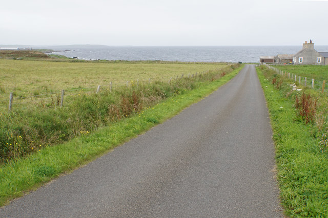
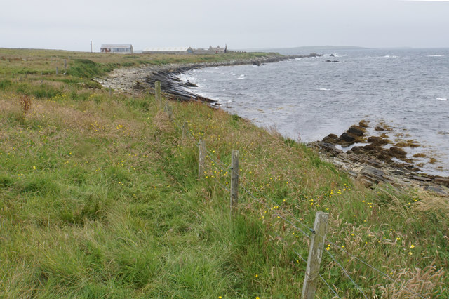
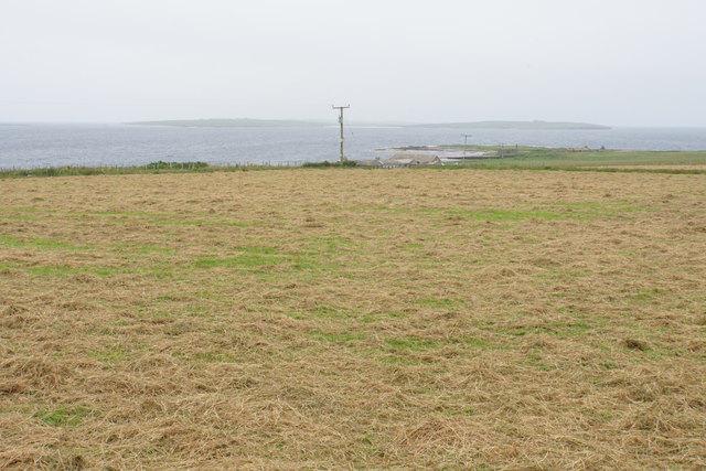
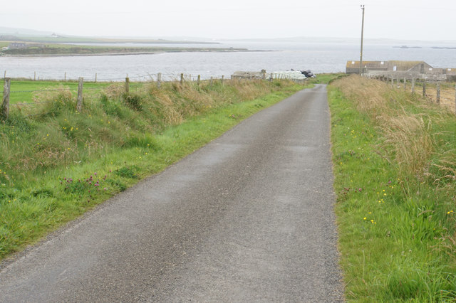
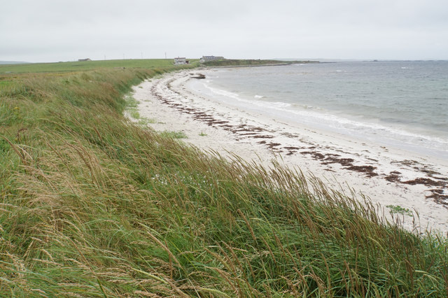
Geo of Swartmill is a prominent coastal feature located on the island of Orkney in Scotland. It is a headland that juts out into the North Sea, forming a distinctive and picturesque point. The word "geo" is a Scottish term used to describe an inlet or narrow cove, and Swartmill refers to the nearby Swartmill Bay.

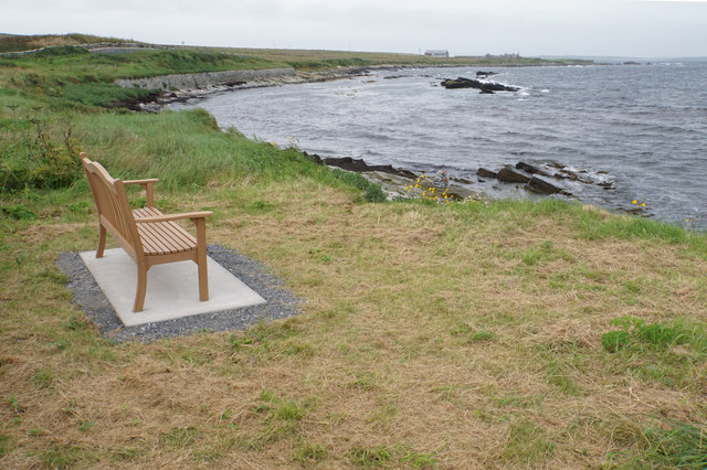
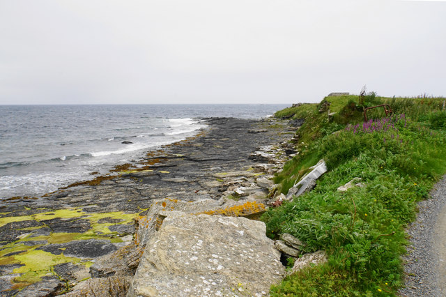
The Geo of Swartmill is characterized by its rugged and rocky terrain, with steep cliffs that descend into the sea below. The headland offers breathtaking panoramic views of the surrounding coastline, with its dramatic cliffs and crashing waves. It is a popular spot for nature enthusiasts, photographers, and hikers who are drawn to its natural beauty and unique geological formations.

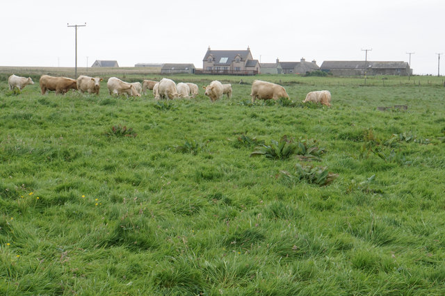
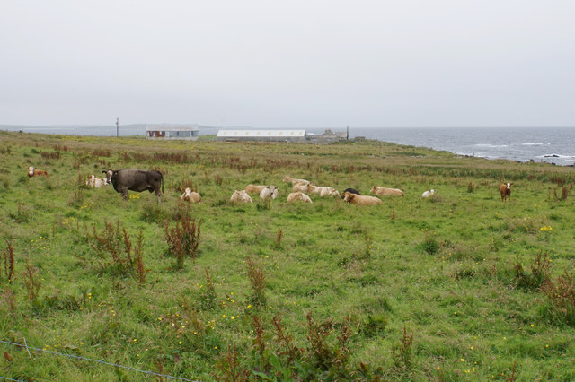
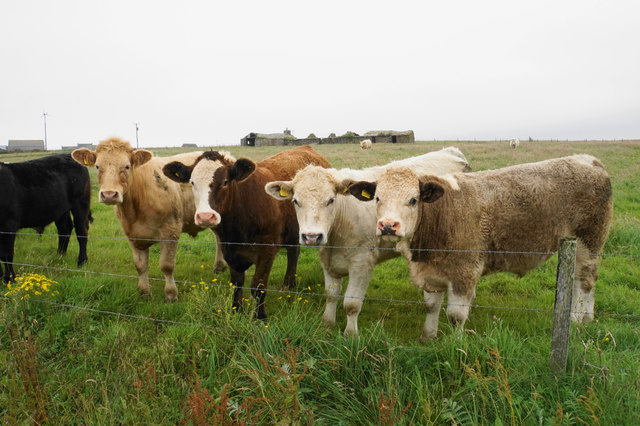
The headland is also home to a diverse range of flora and fauna, with various seabirds nesting along the cliffs, including puffins, guillemots, and kittiwakes. The surrounding waters are known for their rich marine life, making it a prime location for fishing and diving.

The Geo of Swartmill is not only a scenic attraction but also holds historical significance. It is believed to have been inhabited by ancient settlers, with archaeological remains and artifacts dating back thousands of years discovered in the area. These findings provide valuable insights into the island's rich cultural heritage and offer visitors a glimpse into its ancient past.

Overall, the Geo of Swartmill is a captivating coastal feature that combines natural beauty, diverse wildlife, and a rich history, making it a must-visit destination for those exploring the stunning landscapes of Orkney.

If you have any feedback on the listing, please let us know in the comments section below.

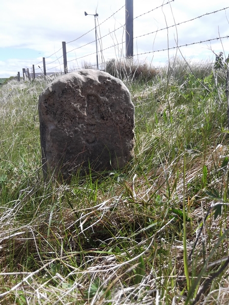
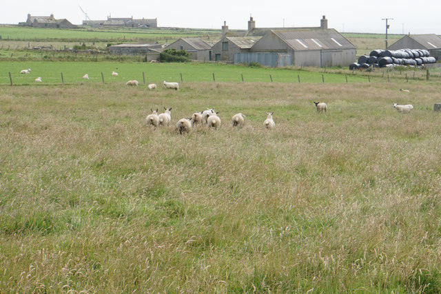
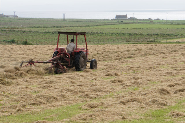
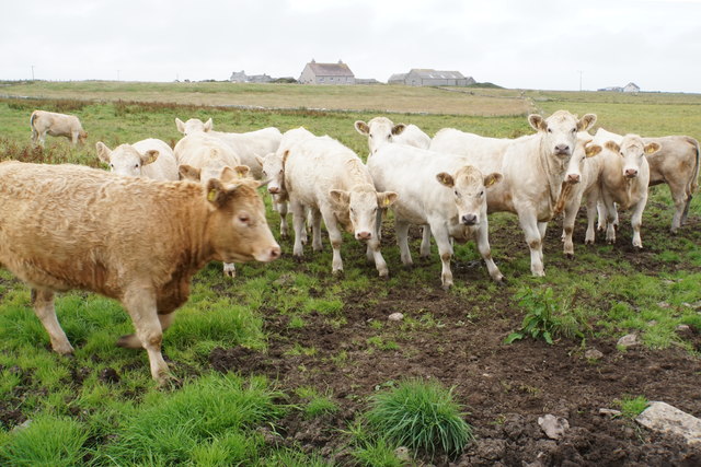
Geo of Swartmill Images

Images are sourced within 2km of 59.299636/-2.9101183 or Grid Reference HY4846. Thanks to Geograph Open Source API. All images are credited.

Old Milestone by the B9066, near Loch of Swartmill, Westray Parish By the B9066, in parish of Westray (District), Moss brae, opposite red telephone box.

Surveyed

Milestone Society National ID: OR_WYPWRP03.
Old Milestone by the B9066, near Loch of Swartmill, Westray Parish
By the B9066, in parish of Westray (District), Moss brae, opposite red telephone box. Surveyed Milestone Society National ID: OR_WYPWRP03.
Sheep running away Sheep on Orkney are far more wary than the cattle.
Sheep running away
Sheep on Orkney are far more wary than the cattle.
Preparing for silage Fields in Skelwick, part of Westray.
Preparing for silage
Fields in Skelwick, part of Westray.
Lively cattle in Skelwick South Langskaill Farm is on top of the rise behind.
Lively cattle in Skelwick
South Langskaill Farm is on top of the rise behind.
Road to Surrigarth The bay of Skel Wick is opening up ahead.
Road to Surrigarth
The bay of Skel Wick is opening up ahead.
Bench near Surrigarth Looking out over Skel Wick.
Bench near Surrigarth
Looking out over Skel Wick.
Point of Furrigeo A low headland on the southern side of Skel Wick.
Point of Furrigeo
A low headland on the southern side of Skel Wick.
Cattle at Surrigarth Looking inland towards Kirkhouse Farm.
Cattle at Surrigarth
Looking inland towards Kirkhouse Farm.
Village shop at Surrigarth Very well stocked for its size, and it has a good range of local bottled beer. The porch is fairly recent.
Village shop at Surrigarth
Very well stocked for its size, and it has a good range of local bottled beer. The porch is fairly recent.
Coast near Ramsay Looking towards Ramsay Ness on the side of Skel Wick.
Coast near Ramsay
Looking towards Ramsay Ness on the side of Skel Wick.
Cattle near Ramsay A fairly exposed position on the eastern side of Westray.
Cattle near Ramsay
A fairly exposed position on the eastern side of Westray.
Cattle on the move These ones were very eager to see me.
Cattle on the move
These ones were very eager to see me.
Cattle near North Tuan The farm behind, North Tuan, is now a ruin.
Cattle near North Tuan
The farm behind, North Tuan, is now a ruin.
Cut grass near Thorn Farm Looking out towards Spo Ness, with Papa Westray in the distance.
Cut grass near Thorn Farm
Looking out towards Spo Ness, with Papa Westray in the distance.
Road to Swartmill The Bay of Swartmill is laid out ahead. In the distance is the northern end of Westray.
Road to Swartmill
The Bay of Swartmill is laid out ahead. In the distance is the northern end of Westray.
Pile of silage bales at Swartmill Farm The pile was emitting a strong aroma.
Pile of silage bales at Swartmill Farm
The pile was emitting a strong aroma.
Bay of Swartmill A white sandy beach with the tide currently fairly high.
Bay of Swartmill
A white sandy beach with the tide currently fairly high.
Outflow from the Loch of Swartmill The inland loch drains into the sea here.
Outflow from the Loch of Swartmill
The inland loch drains into the sea here.
Show me another place!

Geo of Swartmill is located at Grid Ref: HY4846 (Lat: 59.299636, Lng: -2.9101183)

Unitary Authority: Orkney Islands

Police Authority: Highlands and Islands

What 3 Words

///nips.marching.painter. Near Pierowall, Orkney Islands

Related Wikis

Westside Church

Westside Church, (also known as Cross Kirk), is a ruined 12th century church located on the island of Westray in Orkney, Scotland. Archaeological excavations...

Lady Kirk

The Lady Kirk (or St Mary's Kirk) at Pierowall is a ruined 17th-century church on the island of Westray, in Orkney, Scotland. The church was built in 1674...

Westray

Westray (, Scots: Westree) is one of the Orkney Islands in Scotland, with a usual resident population of just under 600 people. Its main village is Pierowall...

Pierowall

Pierowall is a village of Westray in the Orkney Islands, off the coast of the northern Scottish mainland. The village is the island's largest settlement...

Nearby Amenities

Located within 500m of 59.299636,-2.9101183
Power: pole
Lat/Long: 59.2965724/-2.915234
Power: pole
Lat/Long: 59.2970976/-2.9152662
Location Transition: yes
Power: pole
Lat/Long: 59.2976386/-2.9153144
Marker: cable
Lat/Long: 59.2977577/-2.9151455
Generator Method: wind_turbine
Generator Source: wind
Power: generator
Lat/Long: 59.2995253/-2.9059136
Bay of Swartmill
Natural: bay
Lat/Long: 59.3026957/-2.9140592
Power: pole
Lat/Long: 59.3000316/-2.9069266
Power: pole
Lat/Long: 59.2992149/-2.9076242
Power: pole
Lat/Long: 59.2983253/-2.9084277
Power: pole
Lat/Long: 59.2977155/-2.9096988
Power: pole
Lat/Long: 59.2970889/-2.9110429
Power: pole
Lat/Long: 59.2964418/-2.9124382
Power: pole
Lat/Long: 59.2958469/-2.9137531
The data included in this document is from www.openstreetmap.org. The data is made available under ODbL.

Have you been to Geo of Swartmill?

Leave your review of Geo of Swartmill below (or comments, questions and feedback).