Chapel Ness
Coastal Feature, Headland, Point in Fife
Scotland
Chapel Ness
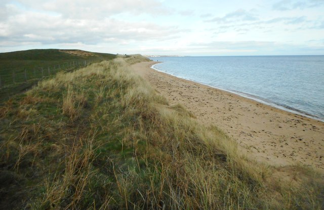
Chapel Ness is a prominent coastal feature located in Fife, Scotland. It is a headland that juts out into the North Sea, forming a distinct point along the coastline. The name "Chapel Ness" derives from the presence of a chapel that once stood on the headland, although little remains of it today.
The headland offers breathtaking panoramic views of the surrounding area, making it a popular spot for both locals and tourists. From Chapel Ness, one can witness the vast expanse of the North Sea, with its ever-changing hues and crashing waves. On clear days, the view extends as far as the Isle of May and the East Lothian coast.
The rugged cliffs of Chapel Ness provide a habitat for a diverse range of wildlife. Birdwatchers flock to this area to observe various seabirds, including puffins, razorbills, and guillemots, which nest among the cliffs. The headland is also home to a variety of plant species, some of which are unique to this particular coastal ecosystem.
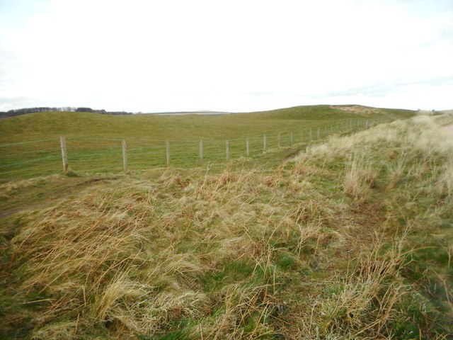
Visitors to Chapel Ness can explore the numerous walking trails that lead around the headland, offering opportunities for outdoor activities such as hiking and nature photography. The area is known for its geological features, including exposed rock formations, sea caves, and arches carved by the relentless sea over the centuries.
Overall, Chapel Ness is a captivating coastal feature that combines stunning natural beauty, rich biodiversity, and a touch of history. Its unique blend of elements makes it a must-visit destination for anyone seeking to experience the raw power and beauty of Scotland's coastline.
If you have any feedback on the listing, please let us know in the comments section below.
Chapel Ness Images
Images are sourced within 2km of 56.182481/-2.8381775 or Grid Reference NT4899. Thanks to Geograph Open Source API. All images are credited.


Chapel Ness is located at Grid Ref: NT4899 (Lat: 56.182481, Lng: -2.8381775)
Unitary Authority: Fife
Police Authority: Fife
What 3 Words
///castle.breathed.roosters. Near St Monans, Fife
Nearby Locations
Related Wikis
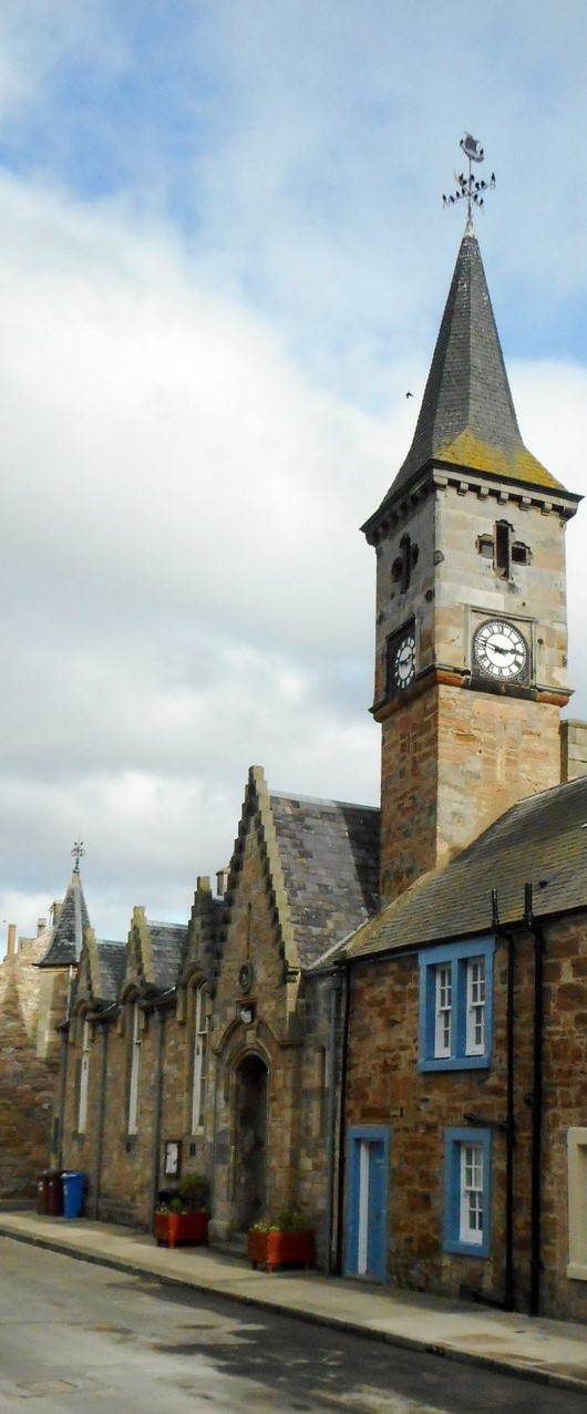
Elie and Earlsferry Town Hall
Elie and Earlsferry Town Hall is a former municipal structure in High Street in Elie and Earlsferry, Scotland. The structure, which is currently used as...

The Golf House Club
The Golf House Club, Elie established in 1875, is a historic members golf club located in the East Neuk of Fife, Scotland. Members have playing rights...

Elie and Earlsferry
Elie and Earlsferry is a coastal town and former royal burgh in Fife, and parish, Scotland, situated within the East Neuk beside Chapel Ness on the north...

Elie Parish Church
Elie Parish Church is a church building in Elie, Fife, Scotland. It is Category B listed, its oldest surviving part (the clock tower) dating to the 1726...

Elie Primary School
Elie Primary School is a school in Elie, Fife, Scotland. It is located partly in a Category C listed building dating from 1858. The architect of the relevant...

Elie railway station
Elie railway station served the town of Elie and Earlsferry, Fife, Scotland, from 1863 to 1965 on the Fife Coast Railway. == History == The station was...
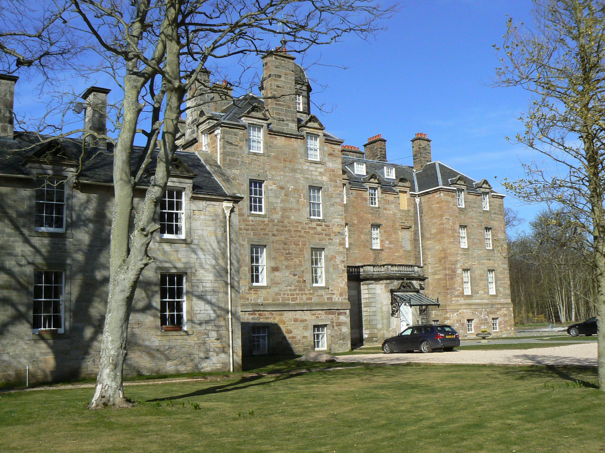
Elie House
Elie House is a country house in Elie, Fife, Scotland. It is a Category A listed building.The house, built in 1697 and incorporating an earlier structure...

Kilconquhar railway station
Kilconquhar railway station served the village of Kilconquhar, Fife, Scotland from 1857 to 1965 on the Leven and East of Fife Railway. == History == The...
Nearby Amenities
Located within 500m of 56.182481,-2.8381775Have you been to Chapel Ness?
Leave your review of Chapel Ness below (or comments, questions and feedback).