Black Rocks

Coastal Feature, Headland, Point in Angus

Scotland

Black Rocks

Monifieth War Memorial The war memorial in Monifieth on the corner of Maule Street and Albert Street.
Monifieth War Memorial Credit: Scott Cormie

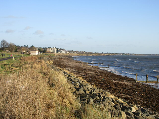
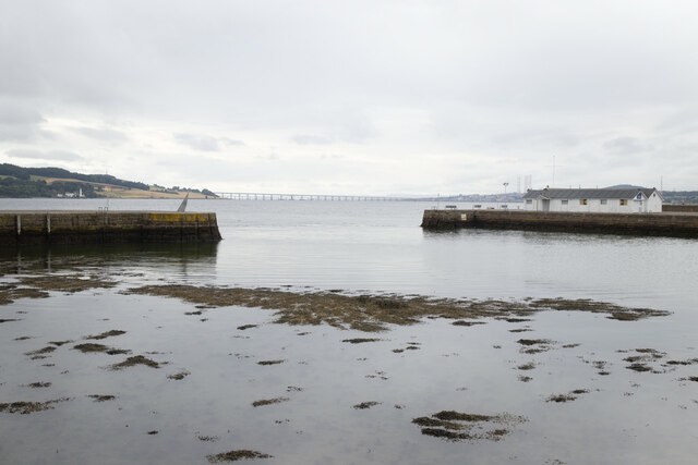
Black Rocks is a prominent coastal feature located in Angus, Scotland. It is commonly referred to as a headland or point due to its distinctive geographical formation. Situated along the eastern coast of Scotland, Black Rocks stretches out into the North Sea, offering breathtaking views of the surrounding landscape.

The name "Black Rocks" accurately describes the appearance of this coastal feature. The headland is characterized by its dark, jagged rock formations that provide a stark contrast to the surrounding cliffs and vegetation. These rocks are the result of centuries of erosion caused by the relentless crashing of waves against the coast.

The headland is a popular destination for both locals and tourists due to its natural beauty and unique geological features. The rugged cliffs and rocky outcrops create a dramatic and picturesque setting that attracts photographers, nature enthusiasts, and hikers alike.

Black Rocks is not only visually striking but also serves as an important habitat for various marine and bird species. The surrounding waters are rich in marine life, including numerous fish species, seals, and seabirds. The headland itself is often frequented by nesting birds, such as guillemots, puffins, and razorbills, making it a haven for birdwatchers.

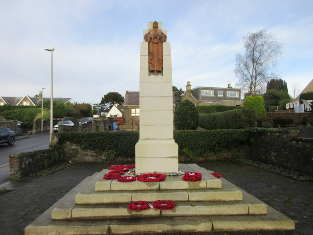
In addition to its natural appeal, Black Rocks also holds historical significance. It has been a site of human activity for centuries, with evidence of ancient settlements and archaeological sites in the surrounding area. This adds to the allure of the headland, as visitors can explore both its natural and cultural heritage.

Overall, Black Rocks is a captivating coastal feature in Angus, Scotland, offering a unique blend of natural beauty, wildlife, and historical significance.

If you have any feedback on the listing, please let us know in the comments section below.
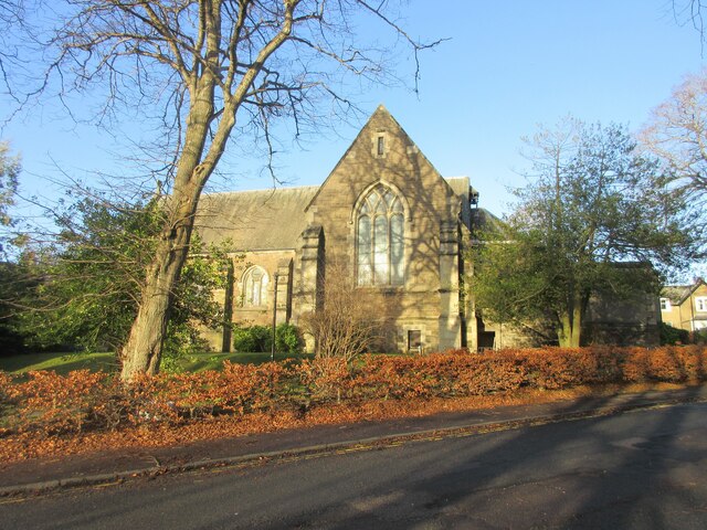
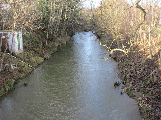
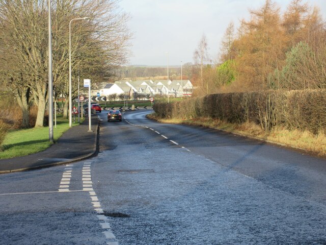
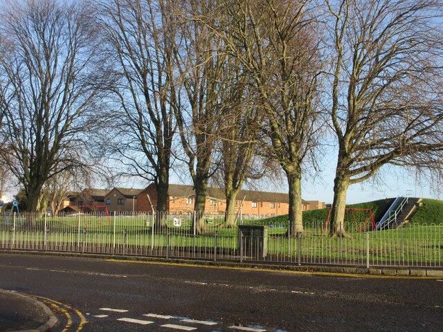
Black Rocks Images

Images are sourced within 2km of 56.470013/-2.8450234 or Grid Reference NO4831. Thanks to Geograph Open Source API. All images are credited.

Monifieth War Memorial The war memorial in Monifieth on the corner of Maule Street and Albert Street.
Monifieth War Memorial
The war memorial in Monifieth on the corner of Maule Street and Albert Street.
Balmossie (Seven Arches) Viaduct The Monifieth Path Network heading westwards to the Seven Arches Viaduct.
Balmossie (Seven Arches) Viaduct
The Monifieth Path Network heading westwards to the Seven Arches Viaduct.
Railway line at Monifieth The East Coast Railway Line heading west from Monifieth towards Broughty Ferry and Dundee.
Railway line at Monifieth
The East Coast Railway Line heading west from Monifieth towards Broughty Ferry and Dundee.
Monifieth Beach Looking eastwards along the sandy and rocky shoreline at Monifieth, with Buddon Ness on the horizon.
Monifieth Beach
Looking eastwards along the sandy and rocky shoreline at Monifieth, with Buddon Ness on the horizon.
Broughty Ferry Beach Broughty Ferry beach on the mouth of the Firth of Tay, with Tayport in the distance.
Broughty Ferry Beach
Broughty Ferry beach on the mouth of the Firth of Tay, with Tayport in the distance.
Coastline at Barnhill Looking along the coast at Barnhill towards Monifieth.
Coastline at Barnhill
Looking along the coast at Barnhill towards Monifieth.
Barnhill St Margaret's Church The south elevation of Barnhill St Margaret's Church viewed from Guthrie Terrace.
Barnhill St Margaret's Church
The south elevation of Barnhill St Margaret's Church viewed from Guthrie Terrace.
Dighty Water The Dighty Water looking upstream from the footbridge off Balgillo Road.
Dighty Water
The Dighty Water looking upstream from the footbridge off Balgillo Road.
East Balgillo Road East Balgillo Road heading north towards the roundabout on the A92.
East Balgillo Road
East Balgillo Road heading north towards the roundabout on the A92.
Woodland on the play park Trees on the play park on Forthill Road, looking from Fintry Place.
Woodland on the play park
Trees on the play park on Forthill Road, looking from Fintry Place.
Former Queen Street Church Church and steeple of the former Queen Street United Presbyterian Church in Broughty Ferry, now a restaurant.
Former Queen Street Church
Church and steeple of the former Queen Street United Presbyterian Church in Broughty Ferry, now a restaurant.
Broughty Ferry Library The public library in Broughty Ferry viewed across Queen Street.
Broughty Ferry Library
The public library in Broughty Ferry viewed across Queen Street.
The A92 at Balmossie in 1976 This length of road is now a dual carriageway.
The A92 at Balmossie in 1976
This length of road is now a dual carriageway.
Balmossie Station
Balmossie Station
1E11 Aberdeen to London Kings Cross passing through Broughty Ferry Station Unit 800102
1E11 Aberdeen to London Kings Cross passing through Broughty Ferry Station
Unit 800102
Construction of flood defences, Broughty Ferry
Broughty Castle
Broughty Castle
Harbour, Broughty Ferry
Show me another place!

Black Rocks is located at Grid Ref: NO4831 (Lat: 56.470013, Lng: -2.8450234)

Unitary Authority: City of Dundee

Police Authority: Tayside

What 3 Words

///thinking.adapt.dynamics. Near Monifieth, Angus

Related Wikis

Barnhill railway station (Angus)

Barnhill railway station was a railway station in Scotland serving the suburb of Barnhill, Dundee. == History == The station was opened as Barnhill on...

Balmossie railway station

Balmossie railway station is a small railway station at the border between Dundee and Angus which serves the east of Broughty Ferry and the west of Monifieth...
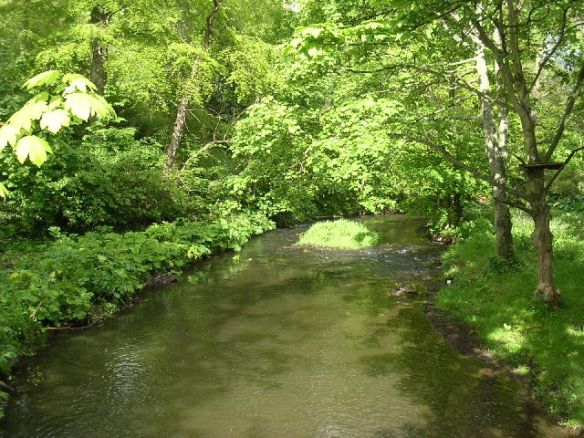
Dighty Burn

The Dighty Burn, also known as Dighty Water or Dichty Water, is a burn or stream 20 kilometres (12 mi) in length that flows through the north and east...

Barnhill, Dundee

Barnhill is an area in Dundee, located within the suburb of Broughty Ferry. It is approximately 4½ miles east of Dundee City Centre. Until the late 19th...
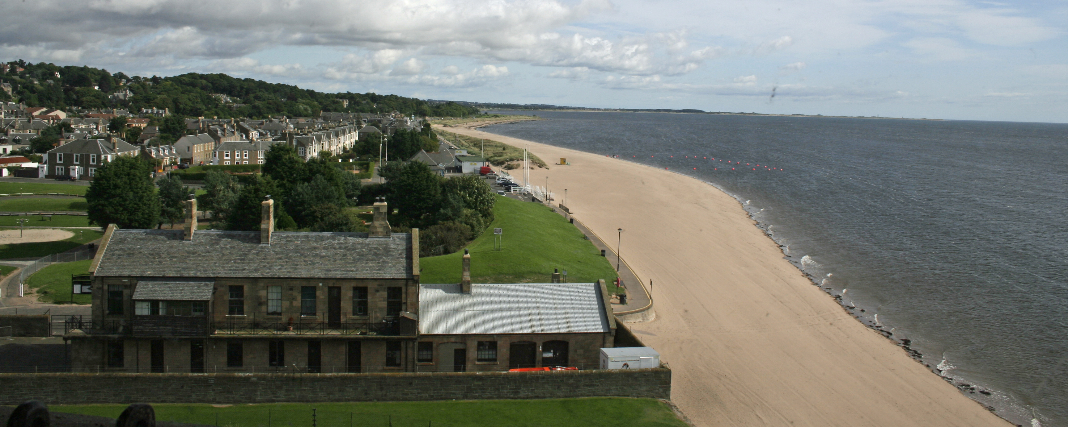
Broughty Ferry

Broughty Ferry (; Scottish Gaelic: Bruach Tatha; Scots: Brochtie) is a suburb of Dundee, Scotland. It is situated four miles east of the city centre on...

Forthill

Forthill is a cricket ground in Broughty Ferry, Dundee, Scotland. It has been used for cricket since, at the latest, 1884, when Forfarshire played Aberdeenshire...
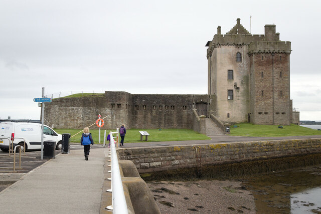
Broughty Castle

Broughty Castle is a historic castle on the banks of the River Tay in Broughty Ferry, Dundee, Scotland. It was completed around 1495, although the site...

Broughty Ferry Pier railway station

Broughty Ferry Pier railway station served the suburb of Broughty Ferry, Dundee, Scotland from 1848 to 1887 on the Dundee and Arbroath Railway. == History... ==

Nearby Amenities

Located within 500m of 56.470013,-2.8450234
Fuel
Esso
Brand: Esso
Brand Wikidata: Q867662
Brand Wikipedia: en:Esso
Contact Website: https://www.esso.co.uk/en-gb/find-station/esso-broughtyferry-essotescodalhousieroadexpress-100200595
Fuel Diesel: yes
Fuel Octane 95: yes
Fuel Octane 98: yes
Lat/Long: 56.4722408/-2.8484737
Fast Food
Goldon Crown Chinese Takeaway
Lat/Long: 56.4738868/-2.8450675
Post Box
Collection Times: Mo-Fr 09:00; Sa 07:00
Manufacturer: Carron Company Stirlingshire
Operator: Royal Mail
Operator Wikidata: Q638098
Post Box Type: pillar
Ref: DD5 99D
Royal Cypher: GR
Royal Cypher Wikidata: Q33102273
Source: survey
Lat/Long: 56.4740372/-2.8449318
Telephone
Booth: KX100
Covered: booth
Lat/Long: 56.4740059/-2.8450054
Bus Stop
Ticara Bank
Bench: yes
Bin: yes
Naptan AtcoCode: 6400S316
Naptan CommonName: Ticara Bank
Naptan Indicator: opp
Naptan NaptanCode: 36324879
Operator: Strathtay
Public Transport: platform
Route Ref: 73;75
Shelter: yes
Towards: Dundee City Centre;Ninewells Hospital
Lat/Long: 56.4707318/-2.8529528
Bus Stop
Abertay Street
Bench: no
Naptan AtcoCode: 6400PT1185
Naptan CommonName: Abertay Street
Naptan Indicator: at
Naptan NaptanCode: 36323959
Operator: Strathtay
Public Transport: platform
Route Ref: 73;75
Shelter: no
Towards: Arbroath;Ethiebeaton Park
Lat/Long: 56.4712644/-2.8517958
Bus Stop
Guthrie Terrace
Bench: yes
Bin: yes
Naptan AtcoCode: 6400PT1720
Naptan CommonName: Guthrie Terrace
Naptan Indicator: opp
Naptan NaptanCode: 36323967
Operator: Strathtay
Public Transport: platform
Route Ref: 73;75
Shelter: yes
Towards: Dundee City Centre;Ninewells Hospital
Lat/Long: 56.4726595/-2.8480186
Bus Stop
Bridge Street
Bench: yes
Bin: yes
Naptan AtcoCode: 6400A80
Naptan CommonName: Bridge Street
Naptan Indicator: opp
Naptan NaptanCode: 36323965
Operator: Strathtay
Public Transport: platform
Route Ref: 73;75
Shelter: yes
Towards: Arbroath;Ethiebeaton Park
Lat/Long: 56.473475/-2.8465393
Traffic Calming: hump
Lat/Long: 56.4694336/-2.8504784
Atm
Fee: no
Operator: Tesco RBS
Source: Local knowledge
Lat/Long: 56.4721441/-2.848428
Toilets
Access: yes
Designation: RADAR
Fee: no
Lat/Long: 56.4718441/-2.8445156
Crossing
Crossing: uncontrolled
Crossing Island: yes
Lat/Long: 56.4710219/-2.8522496
Crossing
Crossing: uncontrolled
Crossing Island: yes
Lat/Long: 56.4708701/-2.8526792
Crossing
Crossing: uncontrolled
Crossing Island: yes
Lat/Long: 56.4730695/-2.8472706
Generator Method: photovoltaic
Generator Output Electricity: yes
Generator Source: solar
Generator Type: solar_photovoltaic_panel
Power: generator
Lat/Long: 56.4715463/-2.8479872
Crossing
Crossing: uncontrolled
Crossing Markings: yes
Lat/Long: 56.4686591/-2.8526631
Barrier: swing_gate
Lat/Long: 56.4719448/-2.8438066
Car Wash
Automated: yes
Lat/Long: 56.4722481/-2.848156
Astons Hairdressng
Shop: hairdresser
Lat/Long: 56.4739119/-2.845012
Bench
Backrest: yes
Lat/Long: 56.4688266/-2.8524263
Traffic Calming: hump
Lat/Long: 56.4688111/-2.8522667
Bench
Backrest: yes
Lat/Long: 56.4686863/-2.852357
Bench
Backrest: yes
Lat/Long: 56.4688974/-2.8516399
Bench
Backrest: yes
Lat/Long: 56.4691371/-2.8509441
Bench
Backrest: yes
Lat/Long: 56.4692349/-2.8506659
Bench
Backrest: yes
Lat/Long: 56.4693476/-2.8504129
Bench
Backrest: yes
Lat/Long: 56.4694684/-2.8501708
Bench
Backrest: yes
Lat/Long: 56.4695832/-2.8499197
Bench
Backrest: yes
Lat/Long: 56.4697279/-2.849589
Crossing
Crossing: uncontrolled
Crossing Markings: yes
Lat/Long: 56.4698822/-2.8493122
Bench
Backrest: yes
Lat/Long: 56.4698648/-2.8491972
Bench
Backrest: yes
Lat/Long: 56.4699508/-2.8487757
Bench
Backrest: yes
Lat/Long: 56.4700212/-2.8483699
Bench
Backrest: yes
Lat/Long: 56.4701194/-2.8477565
Bench
Backrest: yes
Lat/Long: 56.4701776/-2.8474576
Bench
Backrest: yes
Lat/Long: 56.4702393/-2.8471478
Bench
Backrest: yes
Lat/Long: 56.4703166/-2.8468568
Bench
Backrest: yes
Lat/Long: 56.4703939/-2.8465563
Bench
Backrest: yes
Lat/Long: 56.4705173/-2.8461332
Bench
Backrest: yes
Lat/Long: 56.4706129/-2.8458658
Bench
Backrest: yes
Lat/Long: 56.4704652/-2.8459445
Crossing
Crossing: uncontrolled
Crossing Markings: yes
Lat/Long: 56.4706932/-2.845836
Bench
Backrest: yes
Lat/Long: 56.4707339/-2.8456193
Traffic Calming: hump
Lat/Long: 56.4709842/-2.8454499
Information: board
Tourism: information
Lat/Long: 56.471441/-2.845032
Crossing
Crossing: uncontrolled
Crossing Markings: yes
Lat/Long: 56.471308/-2.8448581
Bench
Backrest: yes
Lat/Long: 56.4711939/-2.8449228
Bench
Backrest: yes
Lat/Long: 56.4713296/-2.8447133
Bench
Backrest: yes
Lat/Long: 56.4714533/-2.844514
Bench
Backrest: yes
Lat/Long: 56.4715387/-2.8443833
Defibrillator
Emergency: defibrillator
Indoor: no
Lat/Long: 56.471876/-2.8445286
Bench
Backrest: yes
Lat/Long: 56.4716965/-2.8441295
Veterinary
Parkside Vet
Lat/Long: 56.4739486/-2.844908
The data included in this document is from www.openstreetmap.org. The data is made available under ODbL.

Have you been to Black Rocks?

Leave your review of Black Rocks below (or comments, questions and feedback).