Skerloom

Coastal Feature, Headland, Point in Orkney

Scotland

Skerloom

The cemetery at Kirkhouse Point This is a peaceful "final resting place" with a mile of unspoiled beach beyond the wall.
The cemetery at Kirkhouse Point Credit: Peter Church

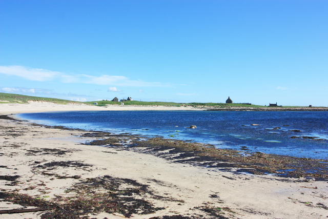
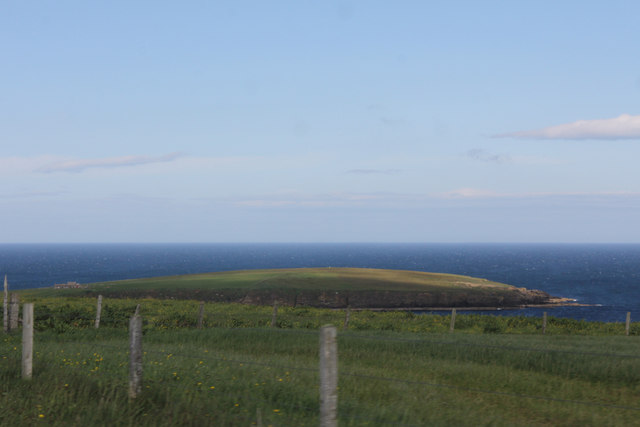
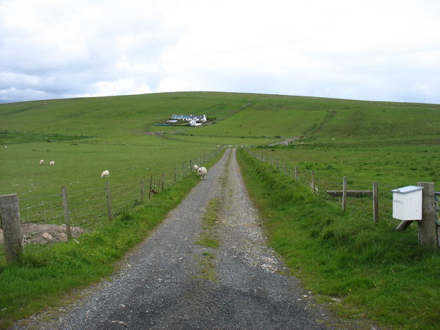
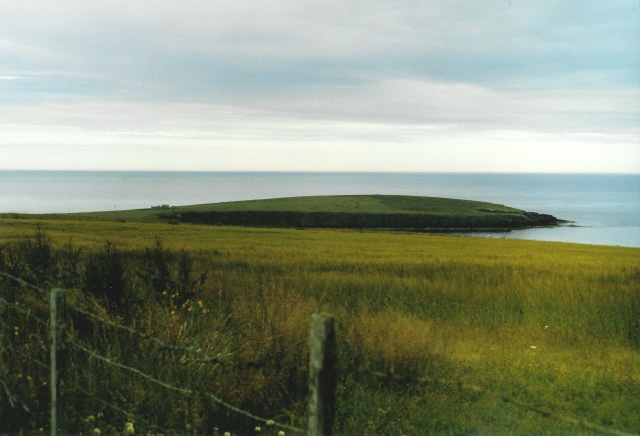
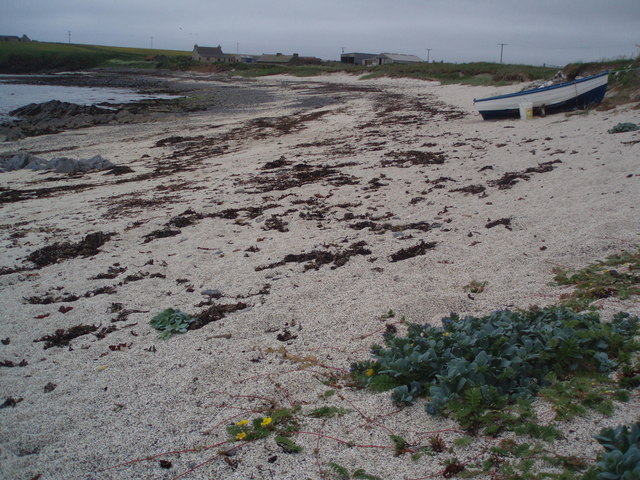
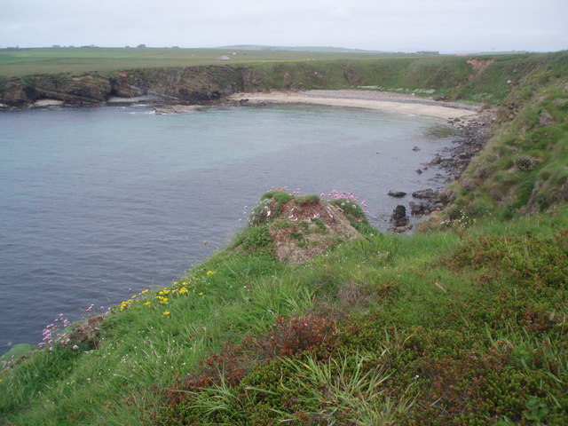
Skerloom is a prominent headland located on the coast of Orkney, an archipelago in northern Scotland. It is situated on the western side of the mainland of Orkney, overlooking the North Atlantic Ocean. Skerloom is characterized by its rugged, rocky terrain and its commanding presence, jutting out into the sea.

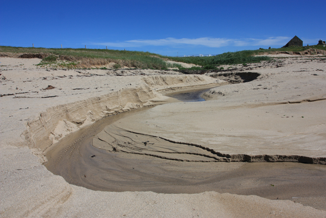
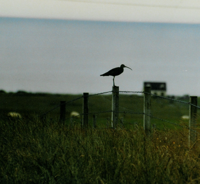
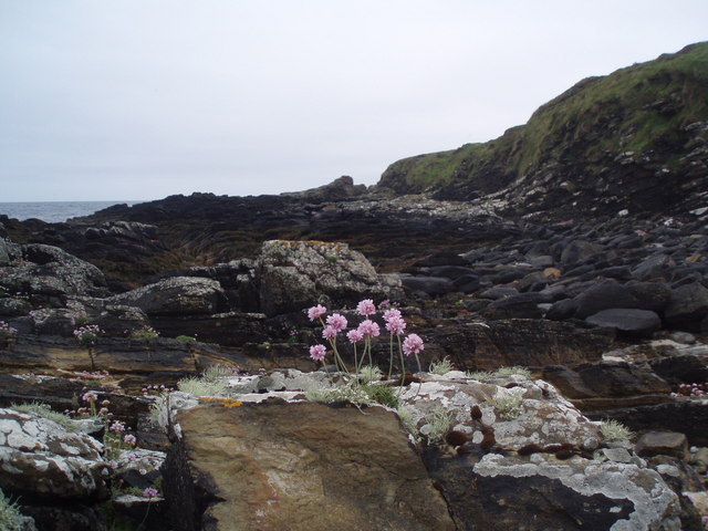
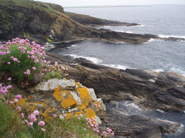
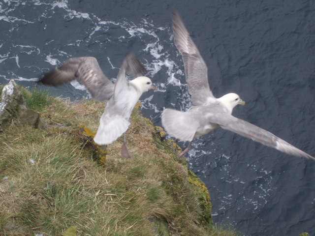
The headland of Skerloom offers breathtaking panoramic views of the surrounding coastal landscape. The cliffs that line its edges are composed of weathered sandstone and basalt, displaying stunning geological formations and providing a habitat for various seabird species. Visitors to Skerloom can often spot colonies of puffins, guillemots, and kittiwakes nesting on the cliff faces during the breeding season.

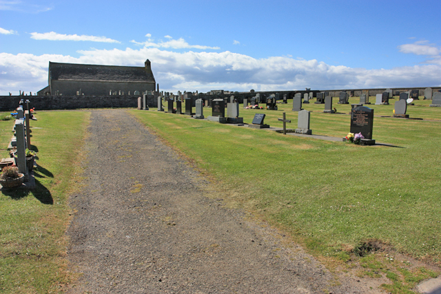
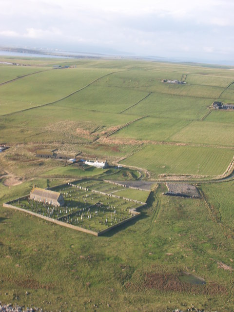
The area around Skerloom is rich in archaeological history, with the remains of ancient settlements and burial sites scattered throughout the region. Neolithic artifacts and standing stones have been discovered in the vicinity, indicating human occupation dating back thousands of years.

Skerloom is a popular destination for nature enthusiasts, hikers, and birdwatchers. The headland offers several walking trails that provide access to the coastal cliffs and allow visitors to experience the raw beauty of the Orkney coastline. The dramatic landscape and diverse wildlife make Skerloom an ideal spot for photography and nature exploration.

Overall, Skerloom is a captivating coastal feature that showcases the natural beauty and historical significance of Orkney. Its rugged cliffs, archaeological sites, and abundant wildlife make it a must-visit location for those seeking an authentic Scottish coastal experience.

If you have any feedback on the listing, please let us know in the comments section below.
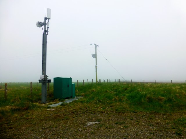
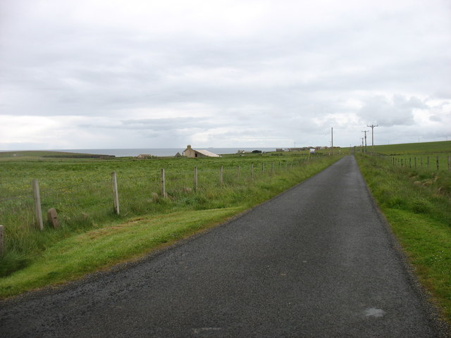
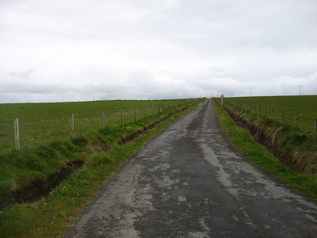
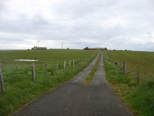
Skerloom Images

Images are sourced within 2km of 58.81171/-2.9084314 or Grid Reference ND4791. Thanks to Geograph Open Source API. All images are credited.

The cemetery at Kirkhouse Point This is a peaceful "final resting place" with a mile of unspoiled beach beyond the wall.
The cemetery at Kirkhouse Point
This is a peaceful "final resting place" with a mile of unspoiled beach beyond the wall.
Natural beach art, Kirkhouse These superb curves are caused by water from springs about 500 metres north.
Natural beach art, Kirkhouse
These superb curves are caused by water from springs about 500 metres north.
Pool of Cletts "Pool of Cletts" is the name shown on OS maps for the area on the north side of this bay.
Pool of Cletts
"Pool of Cletts" is the name shown on OS maps for the area on the north side of this bay.
Fields near Lime Banks
Cauldhame Hill Appears to be in the Scottish Water compound accessed from the track with Jim Bloomer and Tricky Speirs .
Name: Cauldhame Hill
Hill number: 12222
Height: 87m / 285ft
Parent (Ma/M):none
Area:23: Orkney Islands
Class:0
Grid ref: ND467922 (est)
Drop: 53m
Col: 34m  ND452900
Cauldhame Hill
Appears to be in the Scottish Water compound accessed from the track with Jim Bloomer and Tricky Speirs . Name: Cauldhame Hill Hill number: 12222 Height: 87m / 285ft Parent (Ma/M):none Area:23: Orkney Islands Class:0 Grid ref: ND467922 (est) Drop: 53m Col: 34m ND452900
The B9044 heading for South Cara
Minor road at South Cara Near the easternmost point of South Ronaldsay.
Minor road at South Cara
Near the easternmost point of South Ronaldsay.
The drive to Howatoft Farm
Vensilly Farm and Hill
Cemetery, Kirkhouse Taken from a glider, looking West over South Ronaldsay.
Cemetery, Kirkhouse
Taken from a glider, looking West over South Ronaldsay.
Wheems bothy camp site, South Ronaldsay
Grimness View ENE from near the road to Dyke-end farm, in the Grimness area of South Ronaldsay, showing grassland running down to Grim Ness itself.
Grimness
View ENE from near the road to Dyke-end farm, in the Grimness area of South Ronaldsay, showing grassland running down to Grim Ness itself.
Curlew on farmland at Grimness Looking towards Brecks farmhouse in the distance
Curlew on farmland at Grimness
Looking towards Brecks farmhouse in the distance
Honeysgeo Farmstead of Honeysgeo and little bay east coast of South Ronaldsay, Orkney.
Honeysgeo
Farmstead of Honeysgeo and little bay east coast of South Ronaldsay, Orkney.
Sea Pink Armeria Maritima, also known as Sea Pink or Thrift on the foreshore at the headland of Grim Ness, South Ronaldsay, Orkney
Sea Pink
Armeria Maritima, also known as Sea Pink or Thrift on the foreshore at the headland of Grim Ness, South Ronaldsay, Orkney
The Keys The long rock sticking out into the sea is called The Keys and has hundreds of Shags on it as do most of the rocks offshore here. The photograph is taken from Grey Chair and there is Thrift and yellow lichen in the foreground.
The Keys
The long rock sticking out into the sea is called The Keys and has hundreds of Shags on it as do most of the rocks offshore here. The photograph is taken from Grey Chair and there is Thrift and yellow lichen in the foreground.
Head Bay Not actually called anything on any maps, this little bay is near a dwelling called Head. Also in the picture is Skipi Geo, just to the left of the bay.
On South Ronaldsay, Orkney.
Head Bay
Not actually called anything on any maps, this little bay is near a dwelling called Head. Also in the picture is Skipi Geo, just to the left of the bay. On South Ronaldsay, Orkney.
Fulmarus glacialis A couple of Fulmars taking off from the Stack of Kame. The Stack of Kame isn't a proper stack but a narrow - as in a couple of feet wide at the top - headland sticking out into the sea. I was lucky enough to be above them without them realising and snapped them just as they sensed my presence a few feet above.
Fulmarus glacialis
A couple of Fulmars taking off from the Stack of Kame. The Stack of Kame isn't a proper stack but a narrow - as in a couple of feet wide at the top - headland sticking out into the sea. I was lucky enough to be above them without them realising and snapped them just as they sensed my presence a few feet above.
Show me another place!

Skerloom is located at Grid Ref: ND4791 (Lat: 58.81171, Lng: -2.9084314)

Unitary Authority: Orkney Islands

Police Authority: Highlands and Islands

What 3 Words

///families.ogre.snored. Near St Margaret's Hope, Orkney Islands

Related Wikis

Grim Ness

Grimness is a cliff-girt headland on the island of South Ronaldsay, in the Orkney archipelago of Scotland. It is located between Honeysgeo and Skipi Geo...

St Margaret's Hope

St Margaret's Hope is a village in the Orkney Islands, off the north coast of Scotland. It is known locally as The Hope or The Hup. With a population...

South Ronaldsay

South Ronaldsay (, also , Scots: Sooth Ronalshee) is one of the Orkney Islands off the north coast of Scotland. It is linked to the Orkney Mainland by...

Burray

Burray () is one of the Orkney Islands in Scotland. It lies to the east of Scapa Flow and is one of a chain of islands linked by the Churchill Barriers...

Nearby Amenities

Located within 500m of 58.81171,-2.9084314
Manse Bay
Natural: bay
Lat/Long: 58.8090688/-2.9094337
Tumuli
Historic: archaeological_site
Lat/Long: 58.8160309/-2.9093357
Power: pole
Lat/Long: 58.8088617/-2.915015
Power: pole
Lat/Long: 58.8083635/-2.9140203
Power: pole
Lat/Long: 58.8137314/-2.9113151
Power: pole
Lat/Long: 58.8141268/-2.9122093
Power: pole
Lat/Long: 58.8145586/-2.9131864
Power: pole
Lat/Long: 58.8149358/-2.9140831
The data included in this document is from www.openstreetmap.org. The data is made available under ODbL.

Have you been to Skerloom?

Leave your review of Skerloom below (or comments, questions and feedback).