Low Lights
Settlement in Northumberland
England
Low Lights

Low Lights is a small coastal village located in the county of Northumberland, England. Situated on the northeastern coast, it lies within the borough of North Tyneside. With its picturesque setting and rich maritime history, Low Lights attracts both locals and tourists alike.
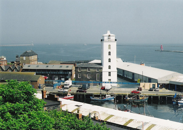
The village is renowned for its iconic lighthouse, which stands proudly on the shore. Built in 1807, it is one of the oldest surviving lighthouses in the country and has played a vital role in guiding ships safely to the nearby port of North Shields. The lighthouse, along with its adjoining buildings, has been preserved and transformed into an informative museum, providing visitors with a fascinating insight into the area's maritime heritage.
In addition to its historical significance, Low Lights offers stunning natural beauty. The village is nestled between the North Sea and the picturesque River Tyne, providing breathtaking views of the surrounding coastline. The sandy beaches and rugged cliffs make it a popular destination for leisurely walks, beachcombing, and birdwatching.
Low Lights is also home to a small but vibrant community. The village boasts a handful of charming traditional pubs and local shops, where visitors can sample delicious seafood and immerse themselves in the warm and friendly atmosphere. The annual Low Lights Festival celebrates the area's cultural heritage, featuring live music, art exhibitions, and traditional crafts.
Overall, Low Lights, Northumberland, is a hidden gem that offers a fascinating blend of history, natural beauty, and community spirit. Its lighthouse, stunning coastal views, and welcoming atmosphere make it a must-visit destination for those seeking a tranquil and enriching experience.
If you have any feedback on the listing, please let us know in the comments section below.
Low Lights Images
Images are sourced within 2km of 55.009848/-1.432831 or Grid Reference NZ3668. Thanks to Geograph Open Source API. All images are credited.


Low Lights is located at Grid Ref: NZ3668 (Lat: 55.009848, Lng: -1.432831)
Unitary Authority: North Tyneside
Police Authority: Northumbria
What 3 Words
///pardon.panel.pills. Near Tynemouth, Tyne & Wear
Nearby Locations
Related Wikis
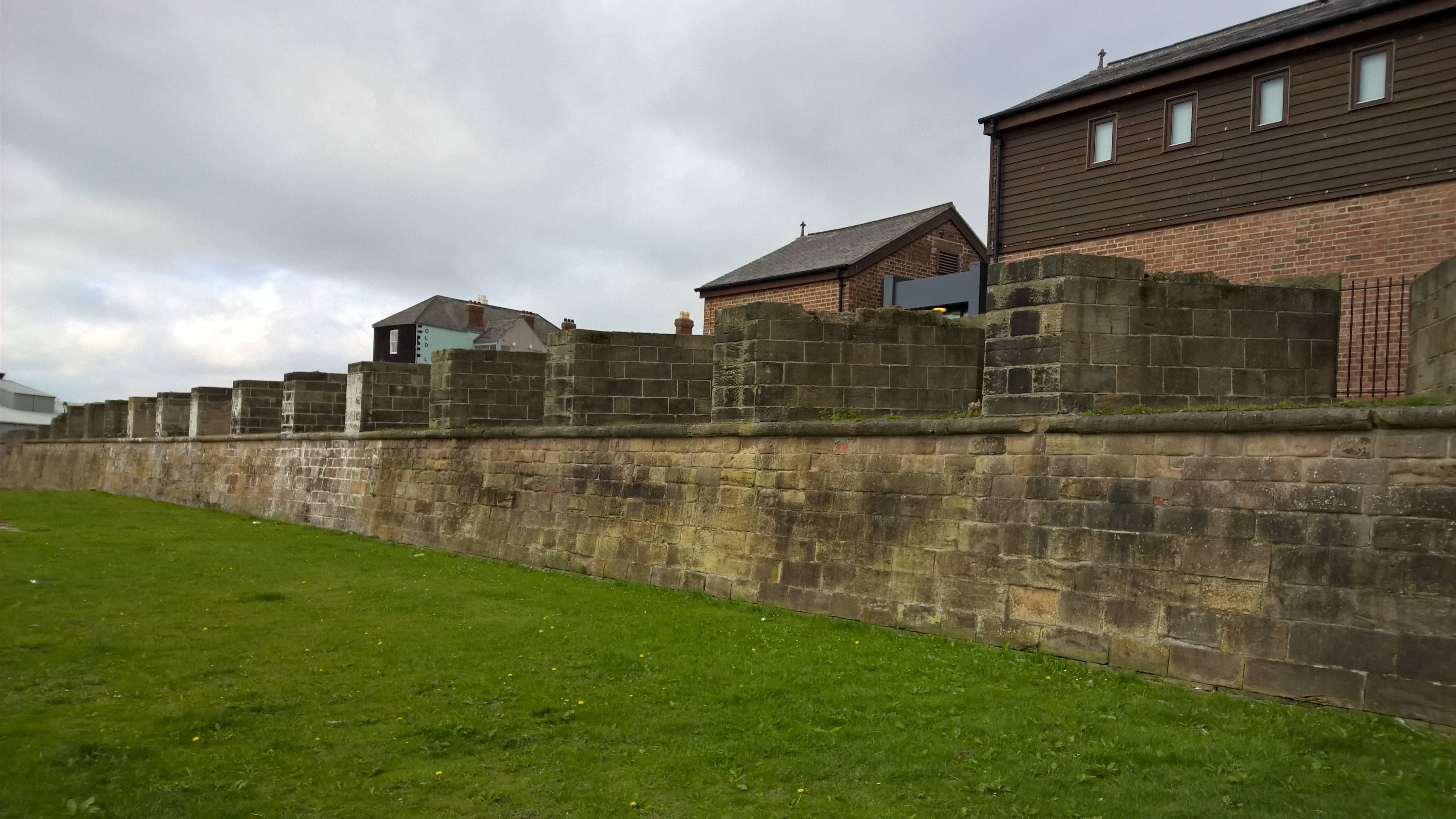
Clifford's Fort
Clifford's Fort was a defensive gun battery established near the mouth of the Tyne during the Anglo-Dutch Wars in the 17th century. It subsequently served...
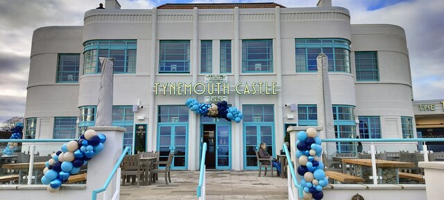
North Shields Fish Quay
North Shields Fish Quay is a fishing port located close to the mouth of the River Tyne, in North Shields, Tyne and Wear, North East England, 8 miles (13...

Tyne Turrets
The Tyne Turrets were two 12-inch Mk VIII guns from the battleship HMS Illustrious, installed in Roberts Battery at Hartley, near Seaton Sluice north of...

Arbeia
Arbeia was a large Roman fort in South Shields, Tyne & Wear, England, now ruined, and which has been partially reconstructed. It was first excavated in...
Nearby Amenities
Located within 500m of 55.009848,-1.432831Have you been to Low Lights?
Leave your review of Low Lights below (or comments, questions and feedback).