Ness of Gairsay
Coastal Feature, Headland, Point in Orkney
Scotland
Ness of Gairsay
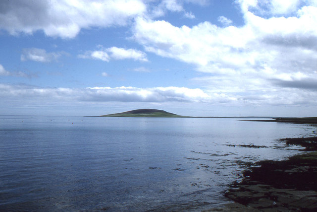
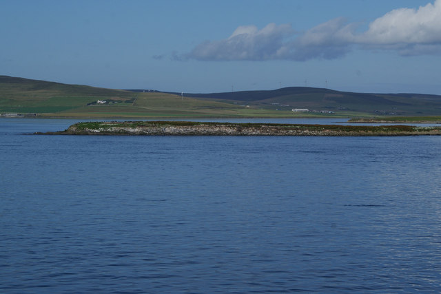
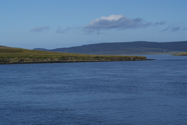
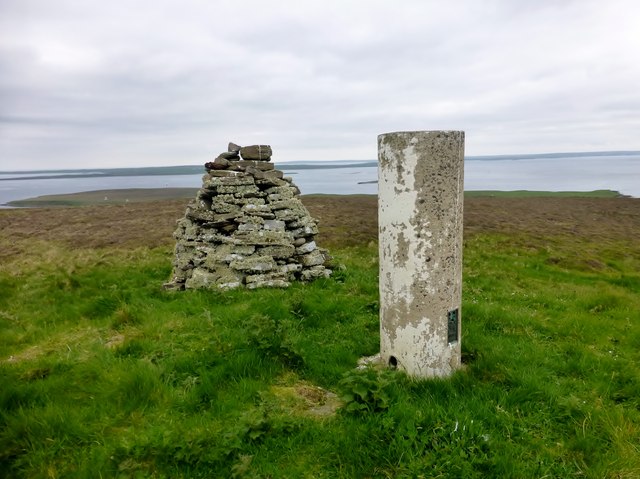
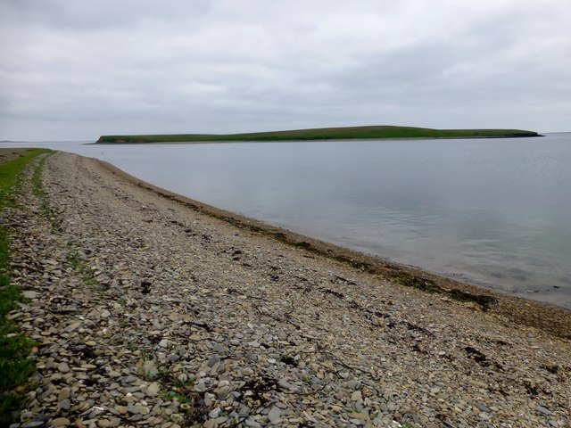
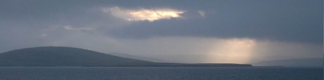
Ness of Gairsay is a prominent coastal feature located on the northeastern coast of the Orkney Islands, an archipelago in Scotland. Situated on the island of Gairsay, it is a headland that extends into the North Sea, forming a distinct point that juts out into the ocean.
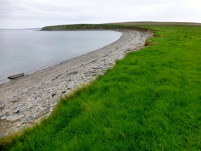
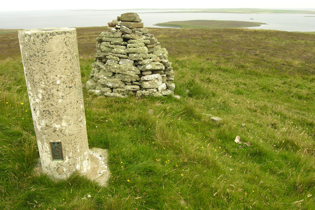
The Ness of Gairsay is characterized by its rugged and rocky terrain, with steep cliffs rising up from the surrounding sea. The headland offers stunning panoramic views of the surrounding waters and the neighboring islands. The coastline features a diverse range of geological formations, including caves, stacks, and arches, which are a result of erosion by the relentless waves.
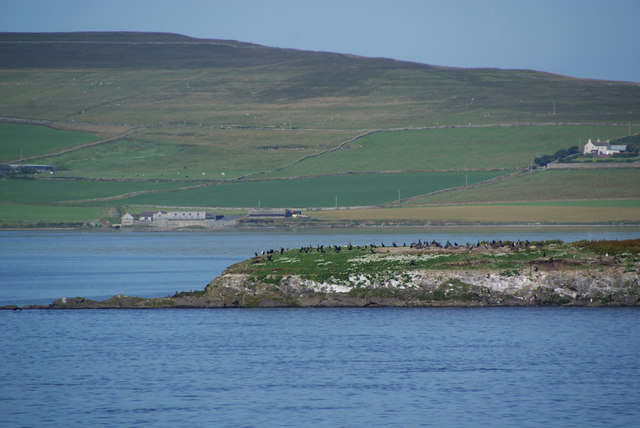
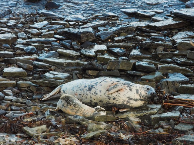
The area surrounding Ness of Gairsay is rich in biodiversity, with numerous species of seabirds, including puffins, guillemots, and kittiwakes, making it their home. The headland is also known for its population of seals, which can often be spotted basking on the rocks or swimming in the waters nearby.
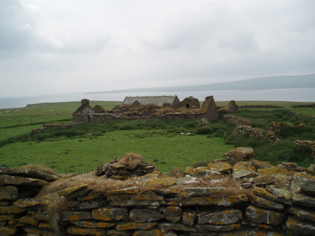
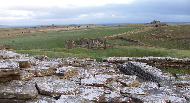
History is deeply intertwined with the Ness of Gairsay, as it is home to the ruins of Gairsay Castle, a medieval stronghold built in the 15th century. The castle, which sits atop the headland, provides a glimpse into the turbulent past of the Orkney Islands, with its strategic location serving as a defensive position against potential invaders.
Overall, Ness of Gairsay is a captivating coastal feature that showcases the natural beauty and historical significance of the Orkney Islands. Its dramatic cliffs, diverse wildlife, and ancient ruins make it a must-visit destination for nature enthusiasts and history buffs alike.
If you have any feedback on the listing, please let us know in the comments section below.
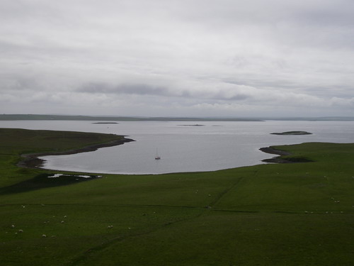
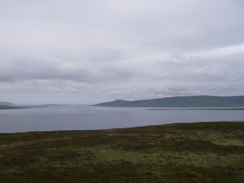
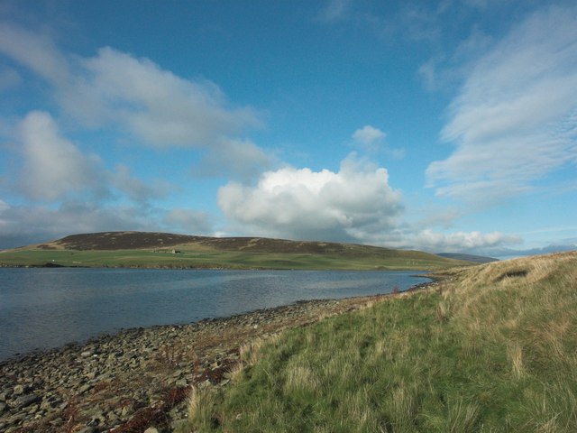
Ness of Gairsay Images
Images are sourced within 2km of 59.074184/-2.9503507 or Grid Reference HY4521. Thanks to Geograph Open Source API. All images are credited.

Ness of Gairsay is located at Grid Ref: HY4521 (Lat: 59.074184, Lng: -2.9503507)
Unitary Authority: Orkney Islands
Police Authority: Highlands and Islands
What 3 Words
///juggles.stumble.coughed. Near Balfour, Orkney Islands
Nearby Locations
Related Wikis

Gairsay
Gairsay (Old Norse: Gáreksey) is a small island in Orkney, Scotland, located in the parish of Rendall, 1.5 miles (2.4 km) off the coast, astride one of...

Sweyn Holm
Note: There is also a "Sweyn Holm" off St Ninian's Isle, Shetland Sweyn Holm is a small island in the Orkney Islands, next to Gairsay. It is thought to...

Vasa Loch
Vasa Loch is a brackish lagoon in southwestern Shapinsay, Orkney Islands. (Ordnance, 2002) This water body has been shown on early maps of the island...

Shapinsay
Shapinsay (, Scots: Shapinsee) is one of the Orkney Islands off the north coast of mainland Scotland. There is one village on the island, Balfour, from...

Mill Dam
Mill Dam is a wetland in western Shapinsay, in Orkney, Scotland. This water body was not shown on the 1840 survey map of the island, since it is a man...
Wyre, Orkney
Wyre (historically known as Viera and Veira) is one of the Orkney Islands, lying south-east of Rousay. It is 311 hectares (1.20 sq mi) and 32 metres (105...

Veantro Bay
Veantro Bay is a bay on the northwest coast of Shapinsay in the Orkney Islands, Scotland.At the head of the bay is a large stone, thought to be associated...

Balfour Castle
Balfour Castle is a historic building on the southwest of Shapinsay, Orkney Islands. Though built around an older structure that dates at least from the...
Nearby Amenities
Located within 500m of 59.074184,-2.9503507Have you been to Ness of Gairsay?
Leave your review of Ness of Gairsay below (or comments, questions and feedback).