Ness of Brough
Coastal Feature, Headland, Point in Orkney
Scotland
Ness of Brough

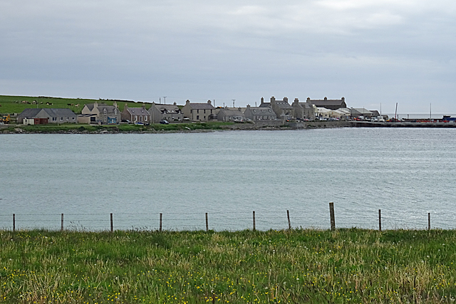
Ness of Brough is a prominent coastal feature located in Orkney, an archipelago in northern Scotland. This headland juts out into the North Sea, offering stunning views and rich natural surroundings. It is situated on the eastern coast of the island of Orkney Mainland, near the village of Brough.
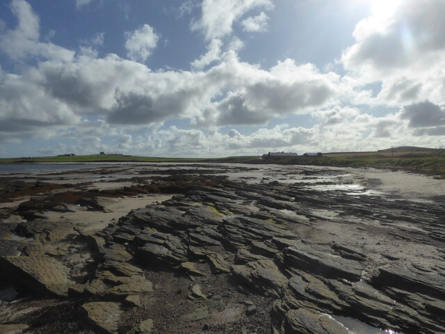
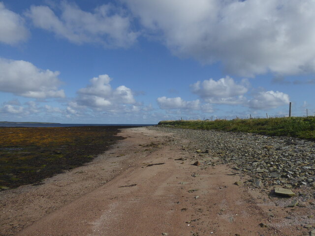
With its commanding position and rugged cliffs, Ness of Brough serves as a distinctive landmark on the coastline. The headland is formed by layers of sandstone and shale, creating striking geological formations that have been eroded by the relentless waves over time. These dramatic cliffs are home to a variety of seabirds, including puffins, guillemots, and fulmars, making it a popular spot for birdwatching enthusiasts.
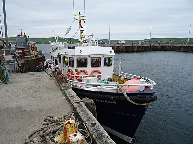
Visitors to Ness of Brough can enjoy breathtaking vistas of the sea and the neighboring islands, such as Hunda and Faray. The headland is accessible via a coastal path that allows visitors to explore the area and take in the natural beauty at their own pace. Additionally, it is not uncommon to spot seals basking on the rocks or dolphins swimming offshore.
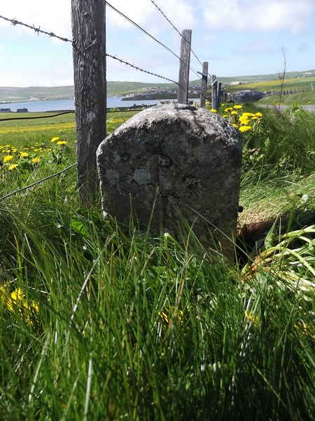
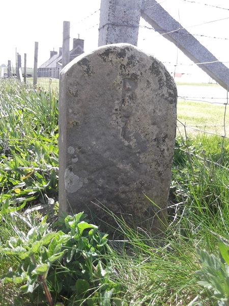
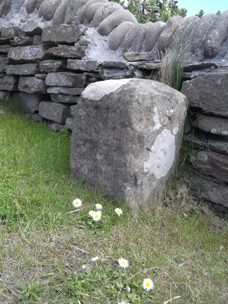
Ness of Brough is steeped in history, with archaeological ruins nearby dating back to the Neolithic era. These include the remains of a chambered tomb and a settlement, providing insight into the lives of early inhabitants. The headland is also believed to have been a defensive site during Viking times, emphasizing its strategic importance throughout history.
Overall, Ness of Brough is a captivating coastal feature that showcases the raw beauty of Orkney's rugged landscape, rich wildlife, and intriguing history.
If you have any feedback on the listing, please let us know in the comments section below.
Ness of Brough Images
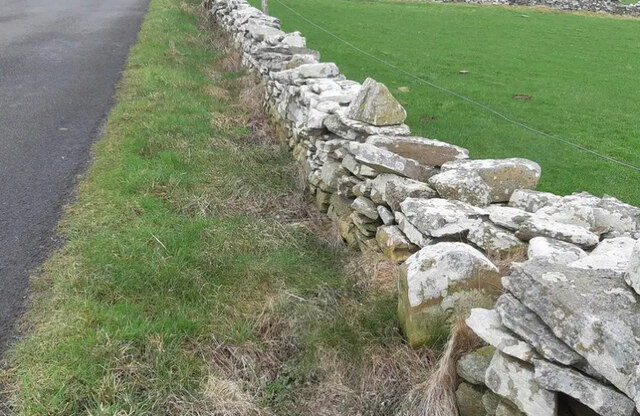
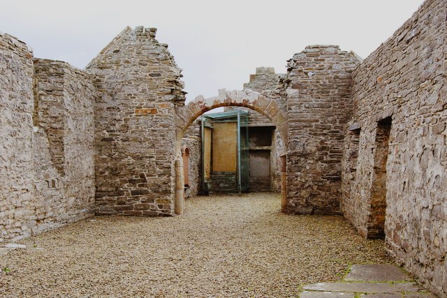
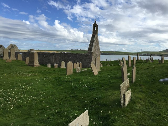
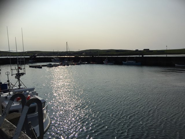
Images are sourced within 2km of 59.316181/-2.9634744 or Grid Reference HY4548. Thanks to Geograph Open Source API. All images are credited.
Ness of Brough is located at Grid Ref: HY4548 (Lat: 59.316181, Lng: -2.9634744)
Unitary Authority: Orkney Islands
Police Authority: Highlands and Islands
What 3 Words
///competent.florists.brimmed. Near Pierowall, Orkney Islands
Nearby Locations
Related Wikis

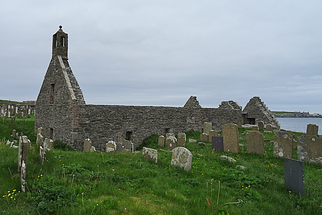
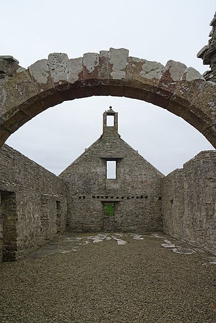
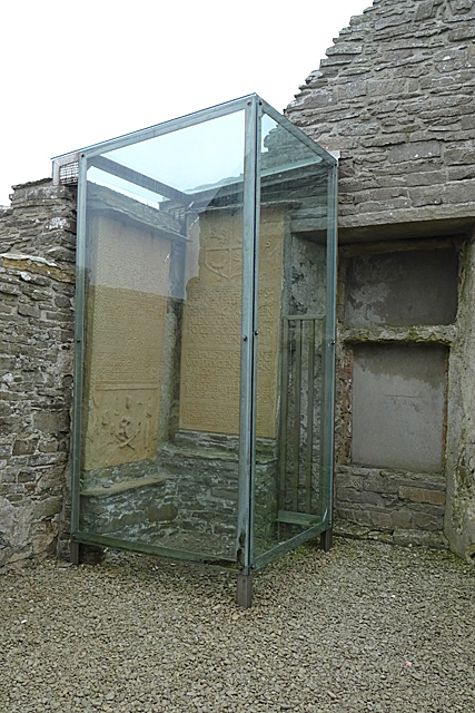
Lady Kirk
The Lady Kirk (or St Mary's Kirk) at Pierowall is a ruined 17th-century church on the island of Westray, in Orkney, Scotland. The church was built in 1674...

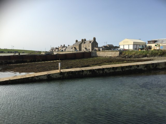
Pierowall
Pierowall is a village of Westray in the Orkney Islands, off the coast of the northern Scottish mainland. The village is the island's largest settlement...

Links of Noltland
Links of Noltland is a large prehistoric settlement located on the north coast of the island of Westray in Orkney, Scotland. The extensive ruins includes...

Noltland Castle
Noltland Castle is located near Pierowall on the island of Westray in the Orkney Islands of Scotland. It dates mainly to the later 16th century, although...
Nearby Amenities
Located within 500m of 59.316181,-2.9634744Have you been to Ness of Brough?
Leave your review of Ness of Brough below (or comments, questions and feedback).