Crow Geo

Coastal Feature, Headland, Point in Orkney

Scotland

Crow Geo

A961 near St. Clair Farm
A961 near St. Clair Farm Credit: Alpin Stewart

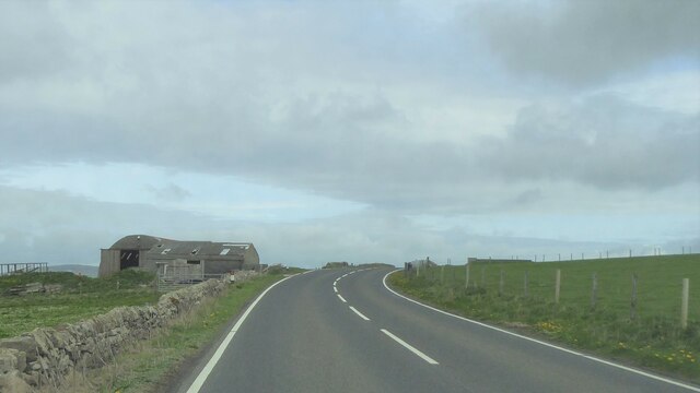
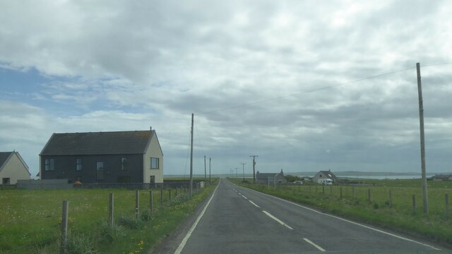
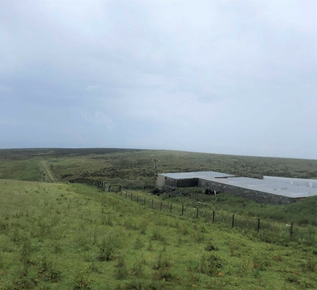
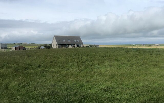
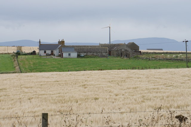
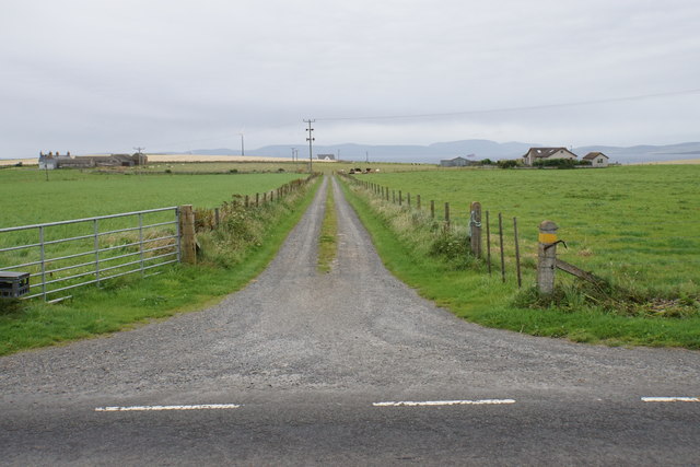
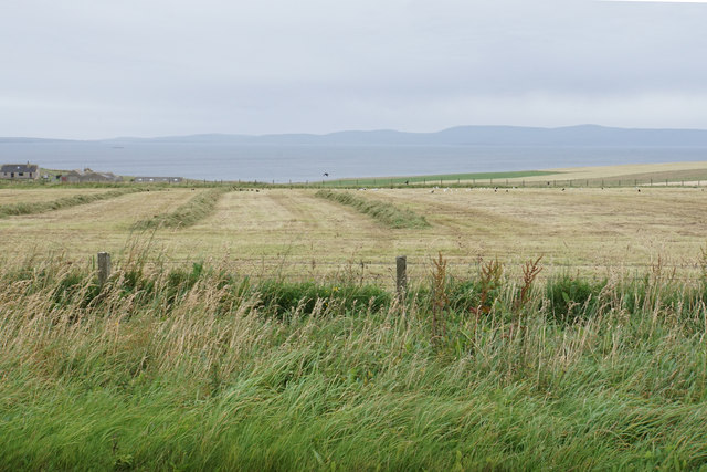
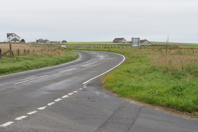
Crow Geo is a prominent coastal feature located in Orkney, a group of islands situated off the northeastern coast of Scotland. It is specifically classified as a headland or point, jutting out into the sea and forming a distinctive geographical feature in the region. Crow Geo is positioned on the eastern side of the island of South Ronaldsay, overlooking the North Sea.

This coastal feature is characterized by its rugged and steep cliffs, which are composed of layers of sedimentary rock. The cliffs rise to an impressive height, offering breathtaking views of the surrounding landscape and the vast expanse of the sea. At the base of the cliffs, there is a rocky beach, providing an opportunity for exploration and access to the water.

Due to its exposed location, Crow Geo is subject to the forces of erosion, which have shaped its distinctive appearance over time. The constant battering of the waves against the cliffs has resulted in the formation of sea caves, arches, and stacks in the vicinity. These natural formations add to the beauty and intrigue of Crow Geo, attracting visitors and nature enthusiasts from near and far.

The headland also serves as an important site for bird-watching, as it provides nesting grounds and habitats for various seabird species. Visitors can spot a variety of birds, including puffins, guillemots, and fulmars, among others.

Overall, Crow Geo stands as a remarkable coastal feature in Orkney, offering stunning views, geological interest, and a rich ecosystem for both locals and tourists to appreciate.

If you have any feedback on the listing, please let us know in the comments section below.

Crow Geo Images

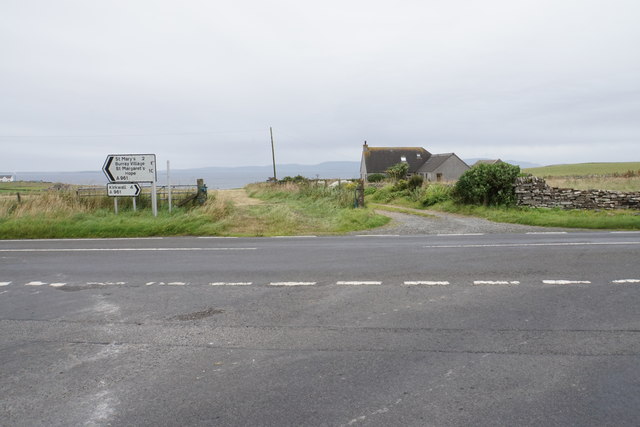
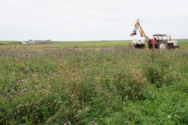
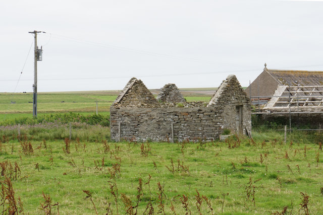
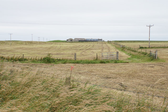
Images are sourced within 2km of 58.923973/-2.9546948 or Grid Reference HY4504. Thanks to Geograph Open Source API. All images are credited.

A961 near St. Clair Farm
A961 southbound, Orkney
Farmland at North Dawn
House north of St Mary's on Mainland, Orkney
Buildings near Gill of Garth I don't think they are farm buildings
Buildings near Gill of Garth
I don't think they are farm buildings
Bungalow north of St Mary's
Harvested field at East Moss
Gaitnip Gates The gates are the entrance to a very long drive leading to Gaitnip, which cannot be seen from here because it is on the slope down to Scapa Flow on the west side of the peninsula.
Gaitnip Gates
The gates are the entrance to a very long drive leading to Gaitnip, which cannot be seen from here because it is on the slope down to Scapa Flow on the west side of the peninsula.
Brian and Peter No, they're not weird sheep, they're peculiar pigs with filthy shaggy coats. They are a Hungarian breed, Mangalica (pronounced 'mangalitsa') which had all but died out but is now becoming more popular because of the flavour of the pork.
Brian and Peter
No, they're not weird sheep, they're peculiar pigs with filthy shaggy coats. They are a Hungarian breed, Mangalica (pronounced 'mangalitsa') which had all but died out but is now becoming more popular because of the flavour of the pork.
Old Milestone by the A961, Kirkwall and St Ola parish Stone post by the A961, in parish of Kirkwall and St Ola (Mainland District), South of Kirkwall, on brow near reservoir.

Inscription reads:-
: 3½ : : 5 :
(To Kirkwall and Holm)
Carved bench mark.

Surveyed

Milestone Society National ID: OR_KWMH03
Old Milestone by the A961, Kirkwall and St Ola parish
Stone post by the A961, in parish of Kirkwall and St Ola (Mainland District), South of Kirkwall, on brow near reservoir. Inscription reads:- : 3½ : : 5 : (To Kirkwall and Holm) Carved bench mark. Surveyed Milestone Society National ID: OR_KWMH03
Gutterpool A farm on the west side of the A961 with the hills of Hoy behind.
Gutterpool
A farm on the west side of the A961 with the hills of Hoy behind.
Farm track to Gutterpool In the distance, Scapa Flow and Hoy are visible.
Farm track to Gutterpool
In the distance, Scapa Flow and Hoy are visible.
Harvested field near Quoylobs Some grass is still awaiting collection. In the background, West Mainland is seen on the other side of Scapa Flow.
Harvested field near Quoylobs
Some grass is still awaiting collection. In the background, West Mainland is seen on the other side of Scapa Flow.
Road to Kirkwall The A961. This bend links two long straights. The bend looks more severe in real life than it appears on the map.
Road to Kirkwall
The A961. This bend links two long straights. The bend looks more severe in real life than it appears on the map.
Quoylobs A dwelling by a road junction on the A961.
Quoylobs
A dwelling by a road junction on the A961.
Tractor and thistles Behind the thistles, the farmland rises steadily towards the centre of East Mainland.
Tractor and thistles
Behind the thistles, the farmland rises steadily towards the centre of East Mainland.
Old building at Donnersbrae It is quite common on Orkney to see newer and bigger buildings alongside the ruins of old ones.
Old building at Donnersbrae
It is quite common on Orkney to see newer and bigger buildings alongside the ruins of old ones.
Harvested fields near East Moss Silage is an essential crop.
Harvested fields near East Moss
Silage is an essential crop.
Show me another place!

Crow Geo is located at Grid Ref: HY4504 (Lat: 58.923973, Lng: -2.9546948)

Unitary Authority: Orkney Islands

Police Authority: Highlands and Islands

What 3 Words

///steady.human.inspector. Near Holm, Orkney Islands

Nearby Locations

Crow Geo Bay of Deepdale

Related Wikis

HMS Royal Oak (08)

HMS Royal Oak was one of five Revenge-class battleships built for the Royal Navy during the First World War. Completed in 1916, the ship first saw combat...

Broch of Ayre

Broch of Ayre, also known as St. Mary's Broch, is an Iron Age broch in Orkney, Scotland. == Location == Broch of Ayre is found on the northern shore of...

St Mary's, Orkney

St Mary's (also known as St. Mary's Holm) is a small village in the parish of Holm on Mainland, Orkney, Scotland. It was originally a fishing port.Orkney...

Holm, Orkney

Holm (pronounced /hæm/ ), also spelled Ham, is a parish on Mainland, Orkney.An adjacent Sound, running between Mainland, and Burray, is named after Holm...

Nearby Amenities

Located within 500m of 58.923973,-2.9546948
Craig of Gaitnip
Place: locality
Lat/Long: 58.926223/-2.9588811
Bay of Deepdale
Natural: bay
Lat/Long: 58.9237421/-2.9552977
Long Geo
Place: locality
Lat/Long: 58.926954/-2.960233
The data included in this document is from www.openstreetmap.org. The data is made available under ODbL.

Have you been to Crow Geo?

Leave your review of Crow Geo below (or comments, questions and feedback).