Bay of Deepdale
Bay in Orkney
Scotland
Bay of Deepdale
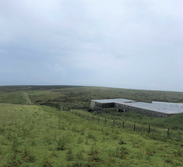
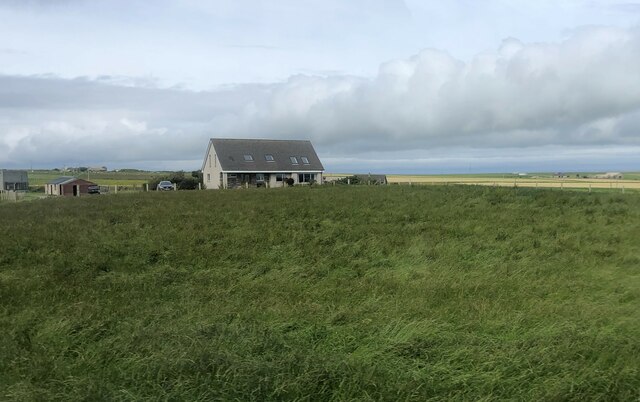
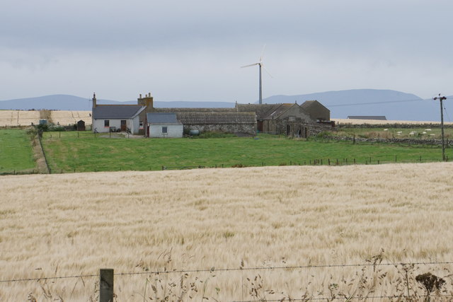
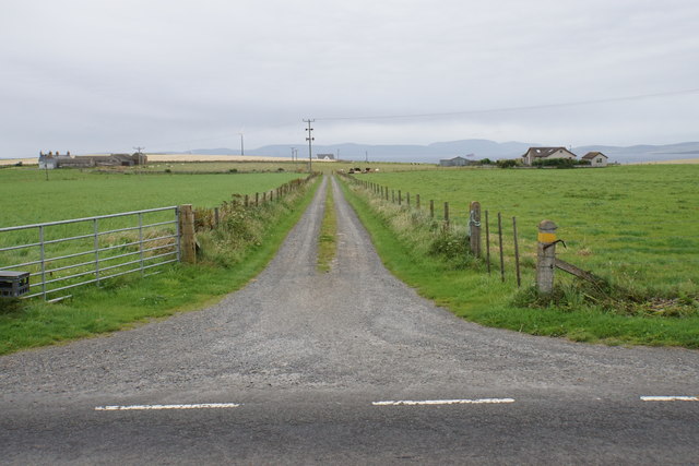
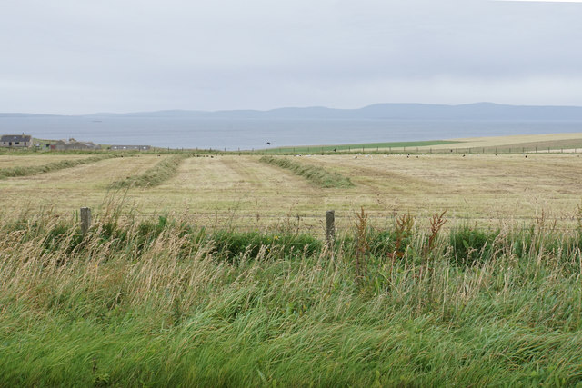
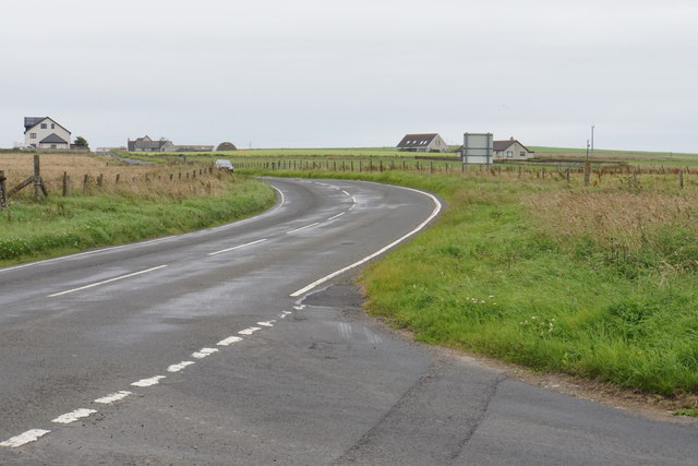
The Bay of Deepdale, located in Orkney, Scotland, is a picturesque and tranquil coastal area renowned for its natural beauty and historical significance. Situated on the eastern coast of Mainland Orkney, the bay is characterized by its long sandy beach and stunning views of the North Sea.
The bay is a popular destination for tourists and locals alike, offering a wide range of activities and attractions. The sandy beach is perfect for leisurely walks, sunbathing, and picnicking, while the crystal-clear waters provide opportunities for swimming and water sports such as kayaking and paddleboarding. The bay is also a popular spot for birdwatching, with a variety of seabirds and wading birds frequenting the area.
Deepdale Bay is not only a natural beauty but also holds significant historical importance. The bay is home to the remains of a Viking burial ground, serving as a testament to Orkney's rich Viking heritage. The site attracts history enthusiasts and archaeologists who are captivated by the ancient artifacts and burial mounds discovered in the area.
In addition to its natural and historical attractions, the Bay of Deepdale offers stunning panoramic views and breathtaking sunsets, making it a perfect spot for photography enthusiasts. The peaceful and serene atmosphere of the bay provides a much-needed escape from the hustle and bustle of everyday life, allowing visitors to unwind and connect with nature.
Overall, the Bay of Deepdale in Orkney is a must-visit destination that combines beauty, history, and tranquility, offering a memorable experience for all who venture there.
If you have any feedback on the listing, please let us know in the comments section below.
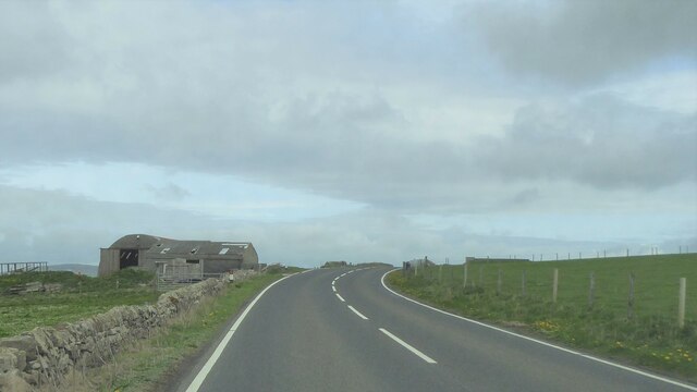
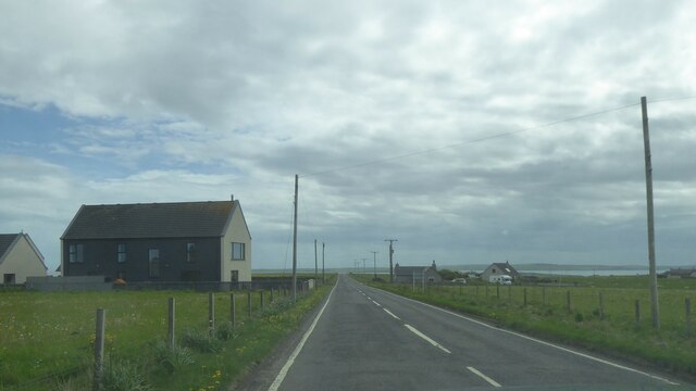
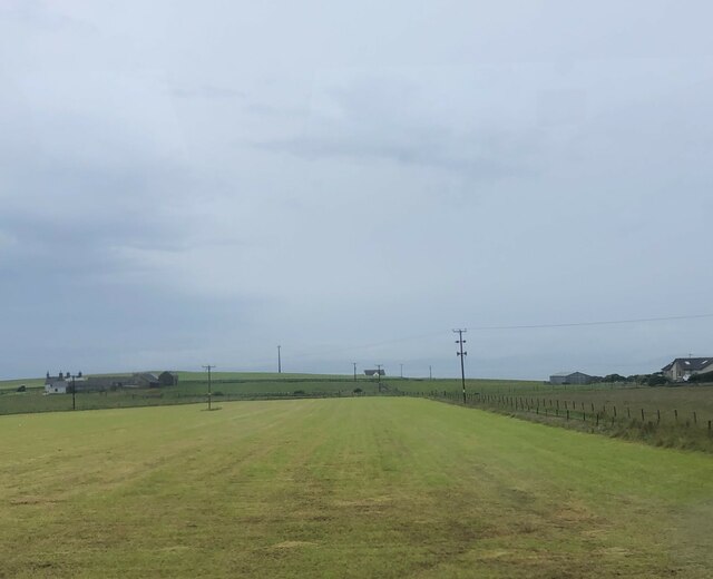
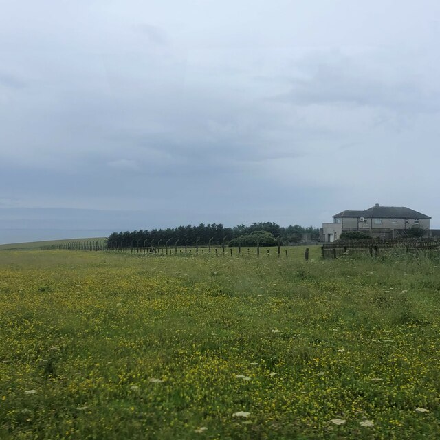
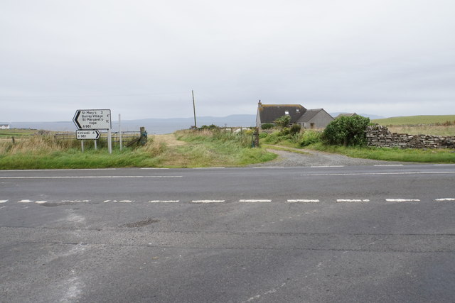
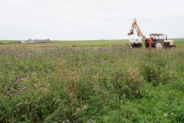
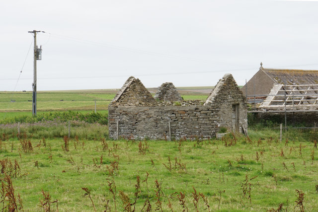
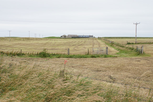
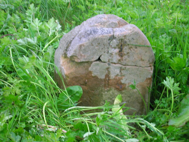
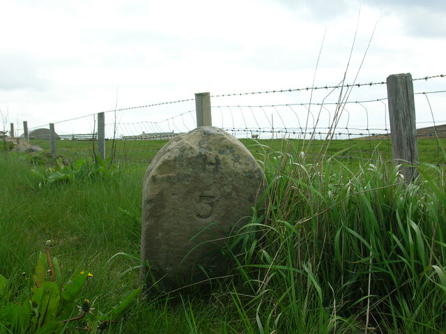
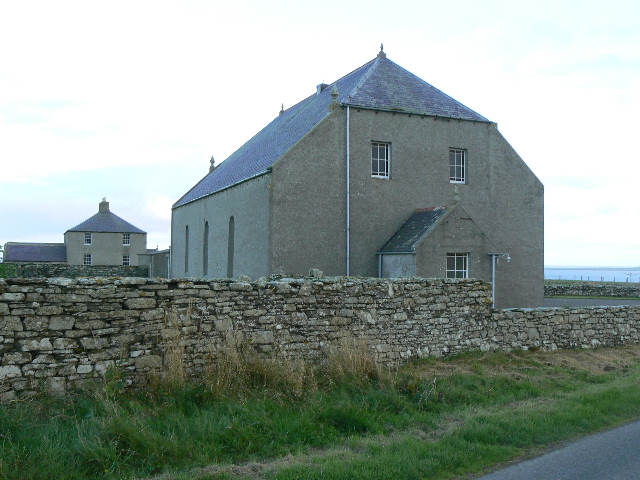
Bay of Deepdale Images
Images are sourced within 2km of 58.92285/-2.9559837 or Grid Reference HY4504. Thanks to Geograph Open Source API. All images are credited.
Bay of Deepdale is located at Grid Ref: HY4504 (Lat: 58.92285, Lng: -2.9559837)
Unitary Authority: Orkney Islands
Police Authority: Highlands and Islands
What 3 Words
///clashes.forever.oxidation. Near Holm, Orkney Islands
Nearby Locations
Related Wikis

HMS Royal Oak (08)
HMS Royal Oak was one of five Revenge-class battleships built for the Royal Navy during the First World War. Completed in 1916, the ship first saw combat...

Broch of Ayre
Broch of Ayre, also known as St. Mary's Broch, is an Iron Age broch in Orkney, Scotland. == Location == Broch of Ayre is found on the northern shore of...

St Mary's, Orkney
St Mary's (also known as St. Mary's Holm) is a small village in the parish of Holm on Mainland, Orkney, Scotland. It was originally a fishing port.Orkney...
Holm, Orkney
Holm (pronounced /hæm/ ), also spelled Ham, is a parish on Mainland, Orkney.An adjacent Sound, running between Mainland, and Burray, is named after Holm...
Orkney F.C.
Orkney Football Club is a senior association football club from the Orkney Islands, Scotland. The club was founded in 2012 and competes in the North Caledonian...

Scapa distillery
Scapa distillery is a Scotch whisky distillery on The Mainland of Orkney, Scotland on the shore of Scapa Flow near the town of Kirkwall. Scapa is the third...

Kirkwall Airport
Kirkwall Airport (IATA: KOI, ICAO: EGPA) (Scottish Gaelic: Port-adhair Bhaile na h-Eaglais) is the main airport serving Orkney in Scotland. It is located...

St Ola
St Ola is a parish on Mainland, Orkney. It is in the centre of the island, east of the parish Firth and north of Holm. It contains the capital and largest...
Related Videos
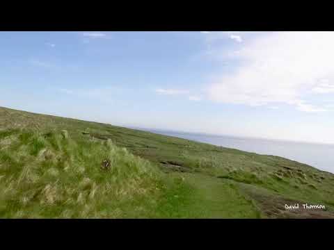
Biking in Orkney
Biking to Broch of Deerness.

Stromness on bike
Biking through the main street in Stromness.
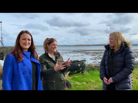
FARA - The Orkney Series Folky Folk - Erika Shearer
MEET.... ERIKA SHEARER FARA members, Jeana and Kristan, have been travelling around the islands the band are lucky ...

FARA - The Orkney Series Ep2
EPISODE 2 - The Holm Band Tune & Skeldaquoy Point Welcome to the second episode of our brand new project - The Orkney ...
Nearby Amenities
Located within 500m of 58.92285,-2.9559837Have you been to Bay of Deepdale?
Leave your review of Bay of Deepdale below (or comments, questions and feedback).