Beamhurst Lane

Settlement in Staffordshire East Staffordshire

England

Beamhurst Lane

Did the Earth Move for you ? This major distribution centre shines like a beacon, illuminating the A50 near Uttoxeter at night. It occupies a sizeable portion of this square.The A50 trunk road was not yet constructed in the 1940's and does not appear on the O/S Map for that period.
Did the Earth Move for you ? Credit: Roger May

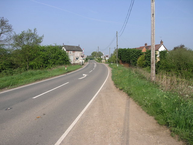
Beamhurst Lane is a picturesque stretch of road located in the county of Staffordshire, England. Nestled within the rural landscape, this lane is known for its scenic beauty and tranquil surroundings. The lane is situated near the village of Beamhurst and is a popular destination for nature enthusiasts and those seeking a peaceful retreat.

Lined with lush green fields and bordered by hedgerows, Beamhurst Lane offers stunning views of the surrounding countryside. The road itself is well-maintained and provides a smooth driving experience, making it a preferred route for both locals and tourists exploring the area.

Along the lane, there are several quaint cottages and farmhouses, adding to the rural charm. The peaceful ambiance is further enhanced by the absence of heavy traffic, allowing visitors to enjoy leisurely walks or bike rides along the lane.

Beamhurst Lane is also known for its close proximity to various natural attractions. Within a short distance, visitors can find the picturesque Dimmingsdale, a wooded valley with scenic trails and a tranquil river. Additionally, the popular Alton Towers theme park is just a few miles away, offering thrilling rides and entertainment for all ages.

Overall, Beamhurst Lane offers a serene escape from the hustle and bustle of city life. With its stunning countryside views, peaceful atmosphere, and proximity to natural attractions, it is a destination that promises a rejuvenating experience for all who visit.

If you have any feedback on the listing, please let us know in the comments section below.

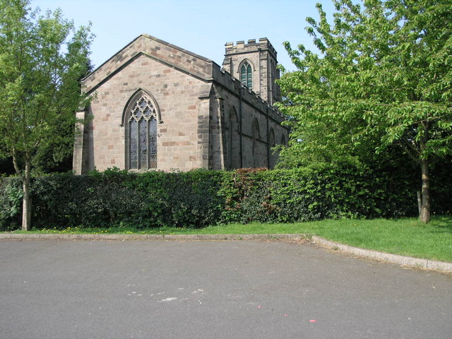
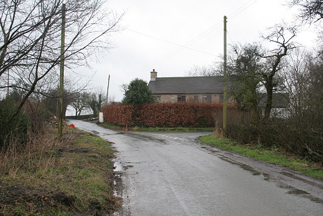
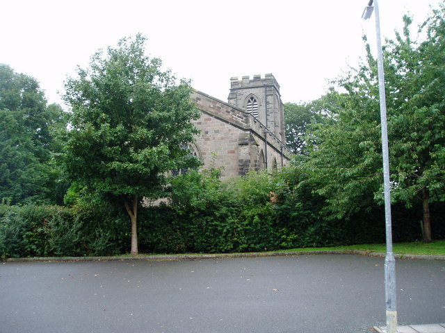
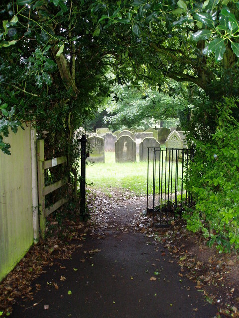
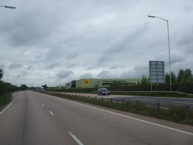
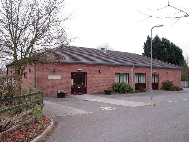
Beamhurst Lane Images

Images are sourced within 2km of 52.912394/-1.9122236 or Grid Reference SK0635. Thanks to Geograph Open Source API. All images are credited.

Did the Earth Move for you ? This major distribution centre shines like a beacon, illuminating the A50 near Uttoxeter at night. It occupies a sizeable portion of this square.The A50 trunk road was not yet constructed in the 1940's and does not appear on the O/S Map for that period.
Did the Earth Move for you ?
This major distribution centre shines like a beacon, illuminating the A50 near Uttoxeter at night. It occupies a sizeable portion of this square.The A50 trunk road was not yet constructed in the 1940's and does not appear on the O/S Map for that period.
Welcome to Uttoxeter Next to the entrance to Park Fields this sign welcomes visitors to Uttoxeter approaching on the B5027 from Bramshall to An Historic Market Town.
Welcome to Uttoxeter
Next to the entrance to Park Fields this sign welcomes visitors to Uttoxeter approaching on the B5027 from Bramshall to An Historic Market Town.
St Laurence in the Trees St Laurence's Church in Bramshall is surrounded by mature trees in such a way that capturing a picture of it is difficult from any but the east end of the church.
St Laurence in the Trees
St Laurence's Church in Bramshall is surrounded by mature trees in such a way that capturing a picture of it is difficult from any but the east end of the church.
Crossing and Blue Sky This is one of the many level crossings in this area that crosses the Uttoxeter to Stoke railway.
Crossing and Blue Sky
This is one of the many level crossings in this area that crosses the Uttoxeter to Stoke railway.
Lower Nobut Nobbut 3 or 4 houses here!
Lower Nobut
Nobbut 3 or 4 houses here!
Upper Nobut Nobbut a little place - a hall, a farm an half-a-dozen cottages
Upper Nobut
Nobbut a little place - a hall, a farm an half-a-dozen cottages
Pigeonhay Lane and Banktop Farm near Bramshall
Broadoak Farm near Bramshall
Townend Farm at Beamhurst Dating probably from the late 17th/early 18th Century.
Townend Farm at Beamhurst
Dating probably from the late 17th/early 18th Century.
National Grid transmission line near Uttoxeter
JCB World Parts Centre near Uttoxeter JCB can be found at several locations in and near Uttoxeter.
JCB World Parts Centre near Uttoxeter
JCB can be found at several locations in and near Uttoxeter.
Watery Lane near Beamhurst
A50 near Uttoxeter Now a major dual carriageway linking the Potteries to the M1.
In the distance can be seen the JCB World Parts Centre <a href="https://www.geograph.org.uk/gridref/SK0635">SK0635</a>
A50 near Uttoxeter
Now a major dual carriageway linking the Potteries to the M1. In the distance can be seen the JCB World Parts Centre SK0635
St Laurence's Church, Bramshall
Gate to the graveyard, Bramshall
Remind me to check my water! I got an unplanned opportunity to take a shot of the A50 near Uttoxeter last week when my radiator sprang a leak and I had to be towed home to Preston.  The light green coloured building on the opposite side of the carriageway is the huge JCB plant, which employs many local people and is the largest source of employment in the area.
Remind me to check my water!
I got an unplanned opportunity to take a shot of the A50 near Uttoxeter last week when my radiator sprang a leak and I had to be towed home to Preston. The light green coloured building on the opposite side of the carriageway is the huge JCB plant, which employs many local people and is the largest source of employment in the area.
JCB World Parts Centre alongside the A50
Bramshall and Loxley Parish Hall
Show me another place!

Beamhurst Lane is located at Grid Ref: SK0635 (Lat: 52.912394, Lng: -1.9122236)

Administrative County: Staffordshire

District: East Staffordshire

Police Authority: Staffordshire

What 3 Words

///undivided.sensibly.promoting. Near Uttoxeter, Staffordshire

Nearby Locations

Beamhurst Lane

Related Wikis

Beamhurst Lane

Beamhurst Lane is a hamlet in Uttoxeter Rural, Staffordshire, England.

Uttoxeter Rural

Uttoxeter Rural is a civil parish in the borough of East Staffordshire, Staffordshire, England, comprising the villages of Stramshall and Bramshall. It...

Beamhurst

Beamhurst is a village in Staffordshire, England. For population details taken at the 2011 census see Croxden. == References ==

Bramshall

Bramshall is a village and former civil parish, now in the parish of Uttoxeter Rural, in the East Staffordshire district, in the county of Staffordshire...

Related Videos

Tolcarne beach in Newquay 23rd adventures.4K video

Tolcarne beach in Newquay adventures.

The New Broom, Checkley, Staffordshire, England 🏴󠁧󠁢󠁥󠁮󠁧󠁿

The New Broom, Checkley, Staffordshire, England 󠁧󠁢󠁥󠁮󠁧󠁿 All prices correct at time of video, April 2019. Fabulous place to ...

Just Stay Quiet A Minute. Oh Sorry Mate. 🤣🐇🐰🎥✅

Today we are joined by @PJAudits as we take a look at JCB World Parts Centre, Waterloo Park, A522, Beamhurst, Uttoxeter ST14 ...

Documentary style Wedding Photography with the Fujifilm XT3 & XT2

Promo video for Max Sarasini Photography. Beautiful, natural, documentary Wedding Photography packages available.

Nearby Amenities

Located within 500m of 52.912394,-1.9122236
Power: tower
Source: Bing
Lat/Long: 52.9130556/-1.9115994
Power: tower
Source: Bing
Lat/Long: 52.9147377/-1.9153759
Power: tower
Source: Bing
Lat/Long: 52.9111017/-1.9073079
The data included in this document is from www.openstreetmap.org. The data is made available under ODbL.

Have you been to Beamhurst Lane?

Leave your review of Beamhurst Lane below (or comments, questions and feedback).