Low Grantley
Settlement in Yorkshire Harrogate
England
Low Grantley
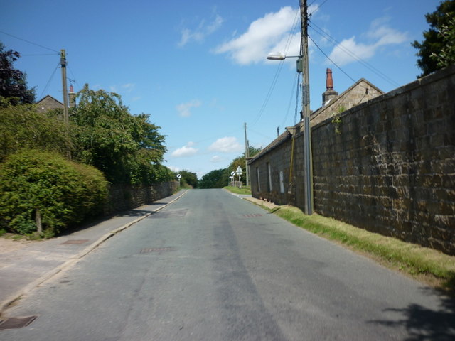
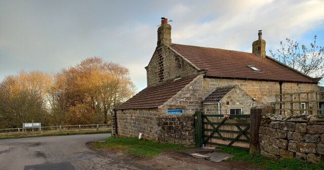
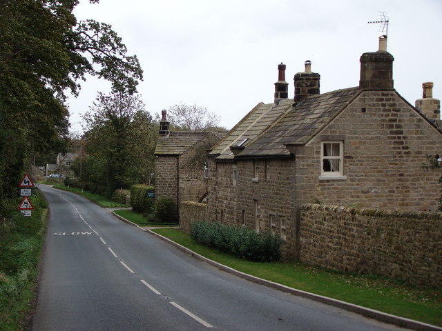
Low Grantley is a small village located in the Harrogate district of North Yorkshire, England. Situated in the picturesque Nidderdale Area of Outstanding Natural Beauty, it is nestled amidst rolling hills and lush green countryside. With a population of around 200 residents, Low Grantley exudes a peaceful and tranquil atmosphere.
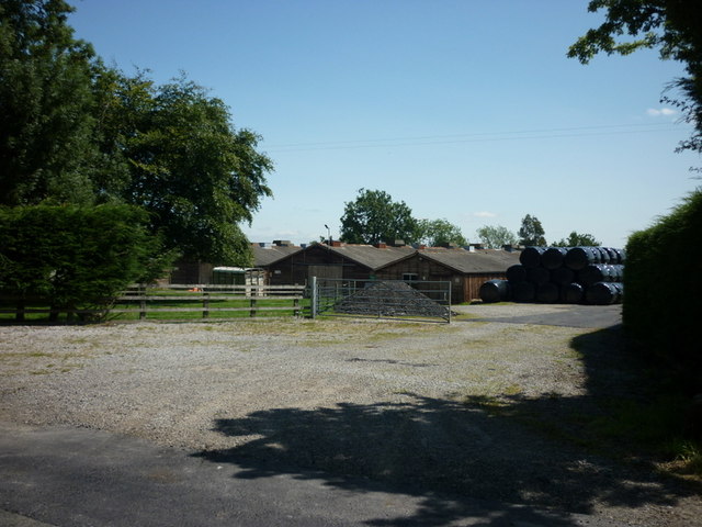
The village is characterized by its charming rural setting, with traditional stone-built houses and farmsteads dotting the landscape. The nearby River Skell adds to the village's appeal, meandering gently through the surrounding fields and providing a serene backdrop.
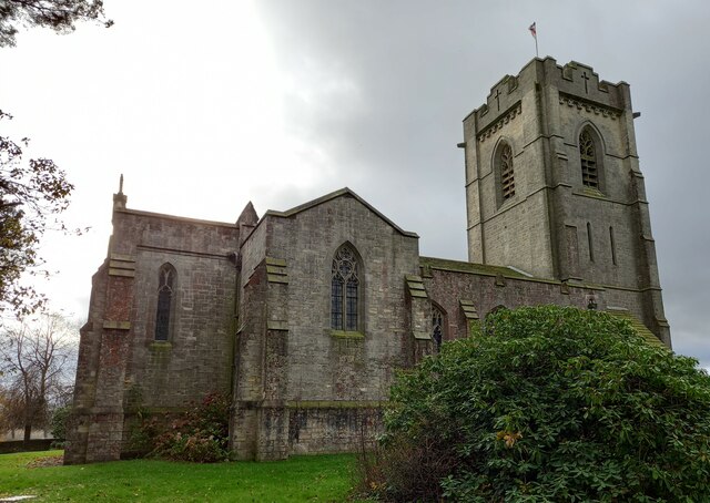
Despite its small size, Low Grantley boasts a strong sense of community. The village has a close-knit group of residents who actively participate in various local events and activities. The historic St. Andrew's Church, dating back to the 12th century, serves as a focal point for both religious and community gatherings.
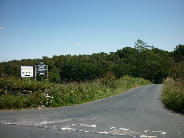
Nature enthusiasts are drawn to Low Grantley for its abundant wildlife and scenic walking trails. The area offers opportunities for outdoor pursuits such as hiking, cycling, and birdwatching. Additionally, the village is conveniently located within easy reach of renowned attractions like the Yorkshire Dales National Park and the spa town of Harrogate.
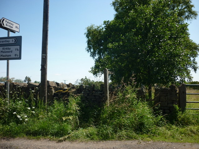
While Low Grantley may be a tranquil haven, it is also well-connected to the wider region. The neighboring town of Ripon provides essential amenities and services, including schools, shops, and healthcare facilities. The village's idyllic setting, strong community spirit, and access to surrounding natural beauty make Low Grantley a highly desirable place to live for those seeking a peaceful rural lifestyle.
If you have any feedback on the listing, please let us know in the comments section below.
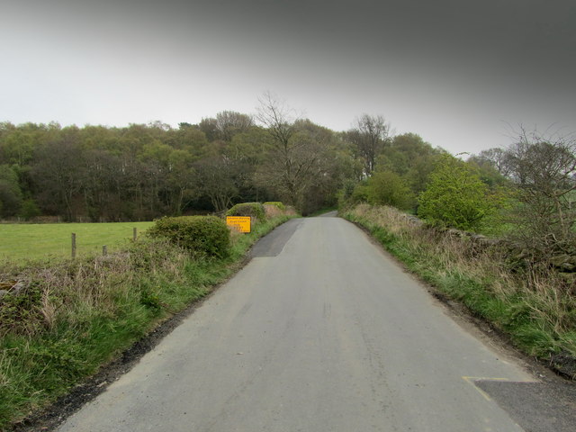
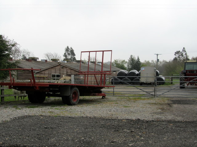
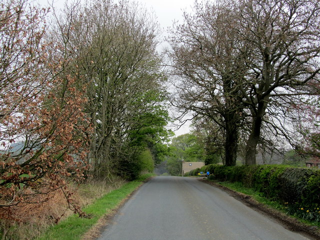
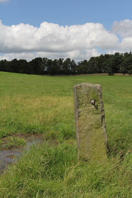
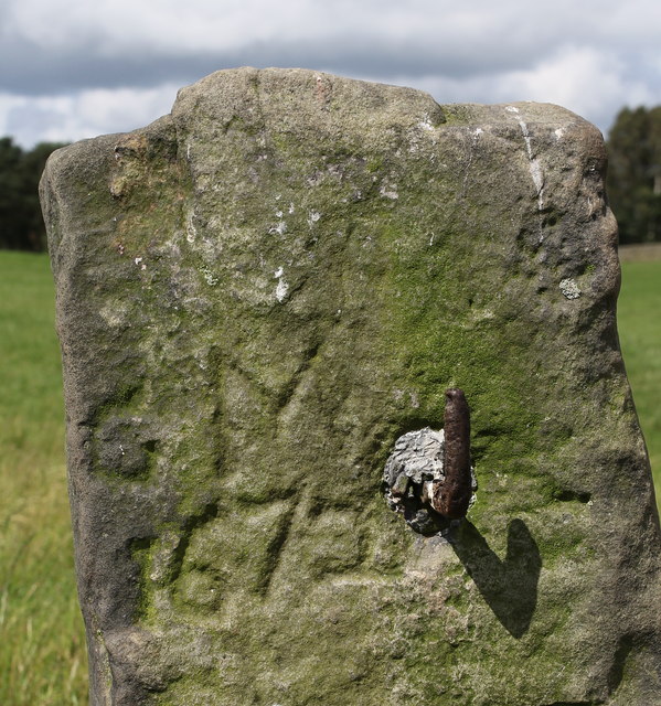
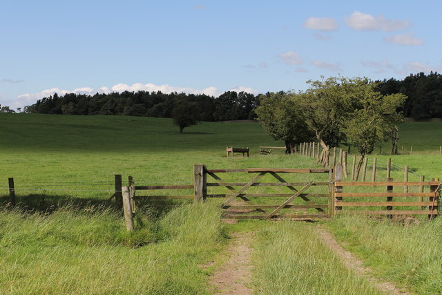
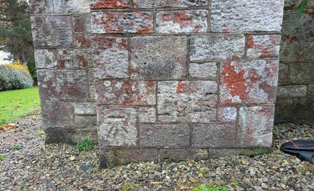
Low Grantley Images
Images are sourced within 2km of 54.128694/-1.6383067 or Grid Reference SE2370. Thanks to Geograph Open Source API. All images are credited.


Low Grantley is located at Grid Ref: SE2370 (Lat: 54.128694, Lng: -1.6383067)
Division: West Riding
Administrative County: North Yorkshire
District: Harrogate
Police Authority: North Yorkshire
What 3 Words
///trimmer.defrost.rotate. Near Ripon, North Yorkshire
Nearby Locations
Related Wikis

Grantley, North Yorkshire
Grantley is a village (also known as High Grantley) and civil parish in North Yorkshire, England. It lies 5 miles (8 km) west of Ripon. The parish also...

Grantley Hall
Grantley Hall is an English country house located in North Yorkshire, England. It is situated near Grantley, about 5 miles (8 km) to the west of Ripon...

Ripon and Pateley Bridge Rural District
Ripon and Pateley Bridge was a rural district in the West Riding of Yorkshire, England from 1937 to 1974. It was created in 1937 by a County Review Order...

Winksley
Winksley is a small village and civil parish in the district of Harrogate, North Yorkshire, England. It is situated west of Ripon, and is on the River...
Risplith
Risplith is a village in the civil parish of Sawley, in the Harrogate district of North Yorkshire, England. It is about 4 miles (6.4 km) west of Ripon...

Laverton, North Yorkshire
Laverton is a village and civil parish in the Harrogate district of North Yorkshire, England, about 7 miles (11 km) west of Ripon. The population of this...

Eavestone
Eavestone is a hamlet and civil parish in the Harrogate district of North Yorkshire, England. It is situated near Brimham Rocks, 3 miles (4.8 km) east...

Galphay
Galphay (traditionally pronounced [ˈgɔ:fə] GAW-fə) is a village in North Yorkshire, England. It is situated in the Nidderdale Area of Outstanding Natural...
Nearby Amenities
Located within 500m of 54.128694,-1.6383067Have you been to Low Grantley?
Leave your review of Low Grantley below (or comments, questions and feedback).