Bountin Hill

Hill, Mountain in Yorkshire Harrogate

England

Bountin Hill

High Grantley, North Yorkshire
High Grantley, North Yorkshire Credit: Ian S

Bountin Hill is a prominent hill located in the county of Yorkshire, England. Rising to an elevation of approximately 400 meters, it is considered one of the tallest hills in the region. Situated in the southern part of Yorkshire, Bountin Hill offers breathtaking views of the surrounding landscape and is a popular destination for hikers, nature enthusiasts, and photographers.

The hill is characterized by its rolling green slopes, which are adorned with heather and other native vegetation. Its summit provides an expansive panorama of the Yorkshire Dales and the nearby Pennines, making it a sought-after viewpoint for visitors. On clear days, it is even possible to catch glimpses of the distant Yorkshire coastline.

Bountin Hill is part of the Nidderdale Area of Outstanding Natural Beauty, a designation that recognizes its ecological and cultural importance. The area is home to a diverse range of flora and fauna, including rare bird species and a variety of wildflowers. The hill is also of historical significance, with ancient remains and landmarks scattered throughout its slopes, adding to its charm and allure.

Access to Bountin Hill is facilitated by a network of footpaths and trails, allowing visitors to explore its natural wonders at their own pace. The hill attracts visitors throughout the year, with autumn being particularly popular when the landscape is ablaze with vibrant colors.

Overall, Bountin Hill in Yorkshire offers a unique and memorable experience for those seeking tranquility, natural beauty, and a connection to the rich history and heritage of the region.

If you have any feedback on the listing, please let us know in the comments section below.
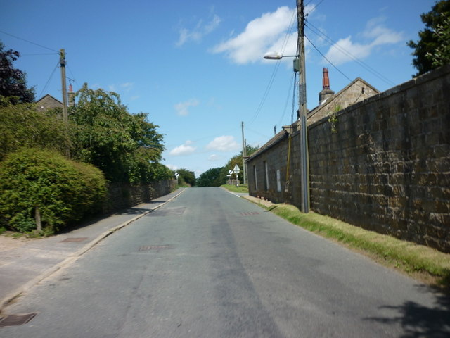
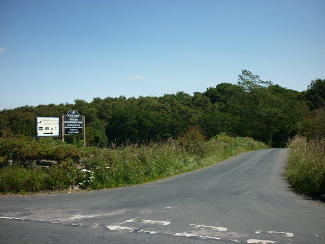
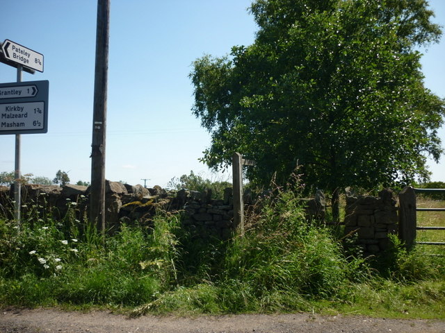
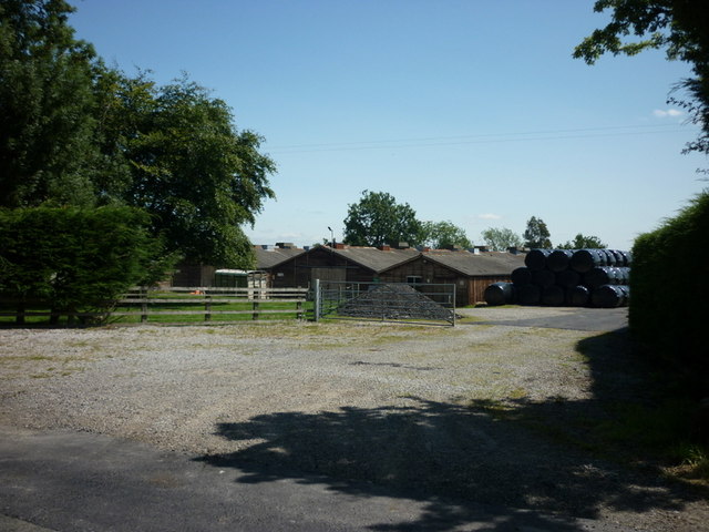
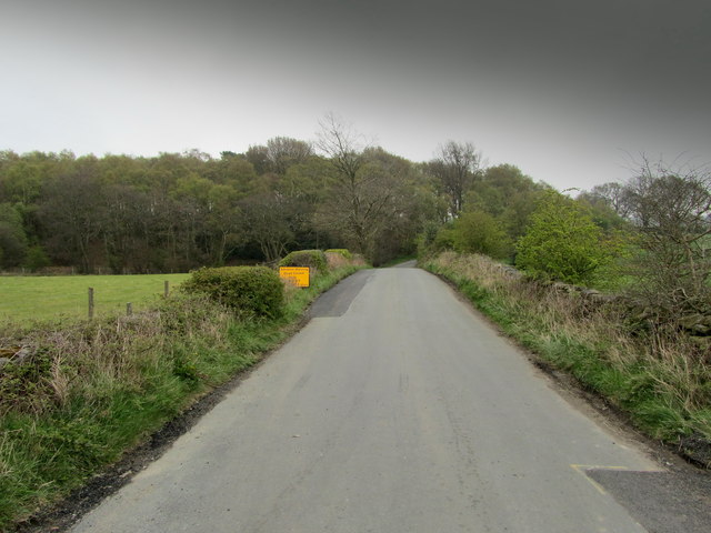
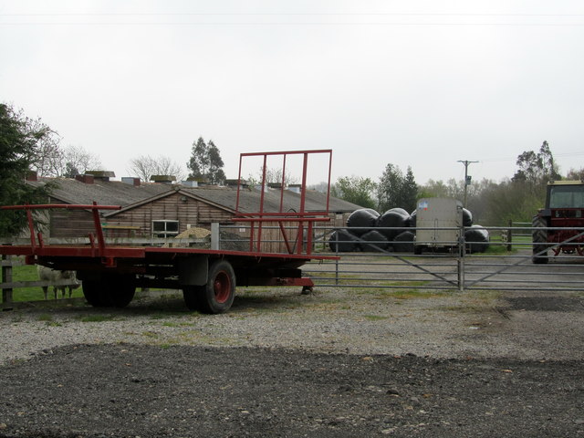
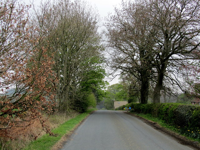
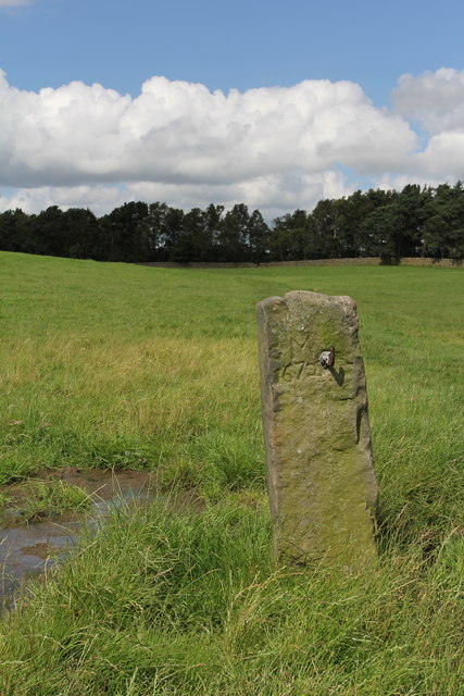
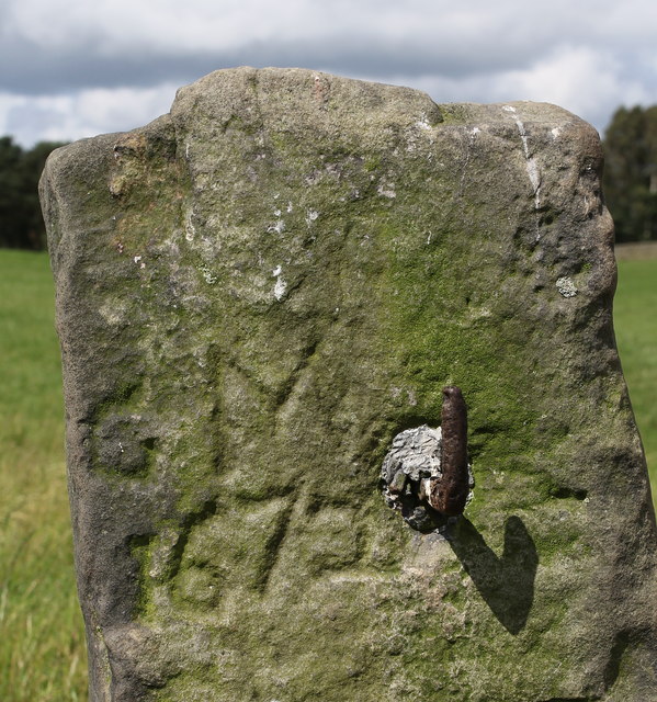
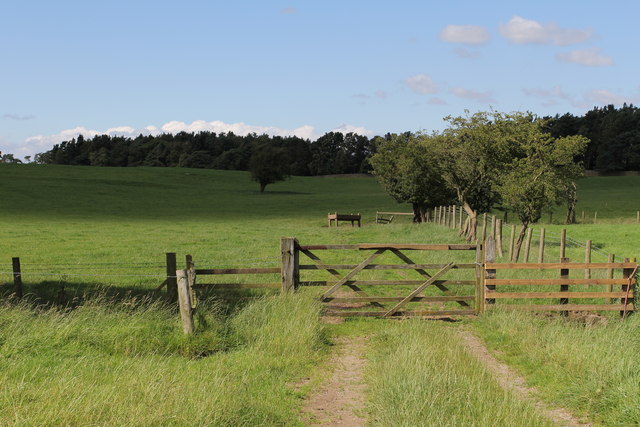
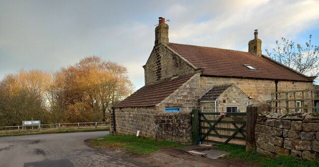
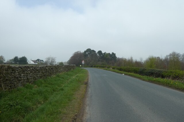
Bountin Hill Images

Images are sourced within 2km of 54.128198/-1.6438657 or Grid Reference SE2370. Thanks to Geograph Open Source API. All images are credited.

High Grantley, North Yorkshire
The way to Woodhouse Farm Caravan Park
A footpath towards Woodhouse Farm
Five Gates Farm
Five Gates Farm
Drift Lane Walled track leading towards the Drovers Inn, Dallowgill now adopted by the Ripon Rowell Walk.
Drift Lane
Walled track leading towards the Drovers Inn, Dallowgill now adopted by the Ripon Rowell Walk.
Temporarily Closed Road to Winksley The lane leading from Gate Bridge Road to Winksley is closed, causing a diversion of around an extra mile - fortunately this is only temporary.
Temporarily Closed Road to Winksley
The lane leading from Gate Bridge Road to Winksley is closed, causing a diversion of around an extra mile - fortunately this is only temporary.
Entrance to Five Gates Farm Entrance as seen from Gate Bridge Road.
Entrance to Five Gates Farm
Entrance as seen from Gate Bridge Road.
Gate Bridge Road On the road between Grantley and Kirkby Malzeard.
Gate Bridge Road
On the road between Grantley and Kirkby Malzeard.
Old Gatepost. inscribed with the letters GM and numbers 1672. <a href="https://www.geograph.org.uk/photo/3056118">SE2270 : Old Gatepost (detail).</a>
Old Gatepost.
inscribed with the letters GM and numbers 1672. SE2270 : Old Gatepost (detail).
Old Gatepost (detail). <a href="https://www.geograph.org.uk/photo/3056115">SE2270 : Old Gatepost.</a>
Old Gatepost (detail).
Footpath from Redmires towards Lumley Moor.
Grantley, gatepost The righthand gatepost to this property has a clear benchmark cut about 1 foot above ground.
Grantley, gatepost
The righthand gatepost to this property has a clear benchmark cut about 1 foot above ground.
Grantley, gatepost The righthand gatepost to this property has a clear benchmark cut about 1 foot above ground.
Grantley, gatepost
The righthand gatepost to this property has a clear benchmark cut about 1 foot above ground.
Descent from High Grantley Looking along the road leading towards Kirkby Malzeard.
Descent from High Grantley
Looking along the road leading towards Kirkby Malzeard.
Road towards High Grantley Looking up the hill towards the village.
Road towards High Grantley
Looking up the hill towards the village.
West Hill Edge Plantation Looking along the edge of the plantation from Gate Bridge Road.
West Hill Edge Plantation
Looking along the edge of the plantation from Gate Bridge Road.
Road junction for Winksley Looking along Great Bridge Road towards the junction.
Road junction for Winksley
Looking along Great Bridge Road towards the junction.
Along Gate Bridge Road Looking along the road leading towards Galphay.
Along Gate Bridge Road
Looking along the road leading towards Galphay.
Show me another place!

Bountin Hill is located at Grid Ref: SE2370 (Lat: 54.128198, Lng: -1.6438657)

Division: West Riding

Administrative County: North Yorkshire

District: Harrogate

Police Authority: North Yorkshire

What 3 Words

///crisps.stick.shadowed. Near Ripon, North Yorkshire

Related Wikis

Grantley, North Yorkshire

Grantley is a village (also known as High Grantley) and civil parish in North Yorkshire, England. It lies 5 miles (8 km) west of Ripon. The parish also...

Grantley Hall

Grantley Hall is an English country house located in North Yorkshire, England. It is situated near Grantley, about 5 miles (8 km) to the west of Ripon...

Ripon and Pateley Bridge Rural District

Ripon and Pateley Bridge was a rural district in the West Riding of Yorkshire, England from 1937 to 1974. It was created in 1937 by a County Review Order...

Winksley

Winksley is a small village and civil parish in the district of Harrogate, North Yorkshire, England. It is situated west of Ripon, and is on the River...

Nearby Amenities

Located within 500m of 54.128198,-1.6438657
Low Grantley
Place: hamlet
Source: npe
Lat/Long: 54.1288212/-1.6376171
Pub
Grantley Arms
Food: yes
Lat/Long: 54.1250709/-1.6451332
Post Box
Post Box Type: pillar
Source: survey
Lat/Long: 54.1253596/-1.6446779
Place: farm
Lat/Long: 54.1280843/-1.6375301
Building: yes
Lat/Long: 54.1288764/-1.6389249
Building: yes
Lat/Long: 54.1269931/-1.6502401
Telephone
Booth: K6
Covered: booth
Lat/Long: 54.1244784/-1.6456937
Defibrillator
Defibrillator Location: outside Grantley Village Hall (next to Grantley Arms pub), High Grantley, HG4 3PJ - to left of village hall main entrance
Emergency: defibrillator
Indoor: no
Lat/Long: 54.1252541/-1.6449689
Entrance: yes
Lat/Long: 54.1252962/-1.6449023
Barrier: stile
Lat/Long: 54.1248197/-1.6449905
Bus Stop
Grantley Arms
Bus: yes
Departures Board: timetable
Public Transport: platform
Shelter: yes
Lat/Long: 54.1248527/-1.6449383
Advertising: board
Lat/Long: 54.1251826/-1.6448816
The data included in this document is from www.openstreetmap.org. The data is made available under ODbL.

Have you been to Bountin Hill?

Leave your review of Bountin Hill below (or comments, questions and feedback).