Tray Geo
Coastal Feature, Headland, Point in Orkney
Scotland
Tray Geo
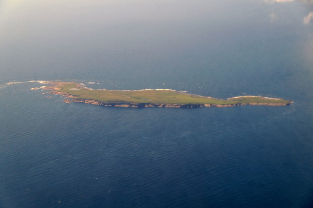
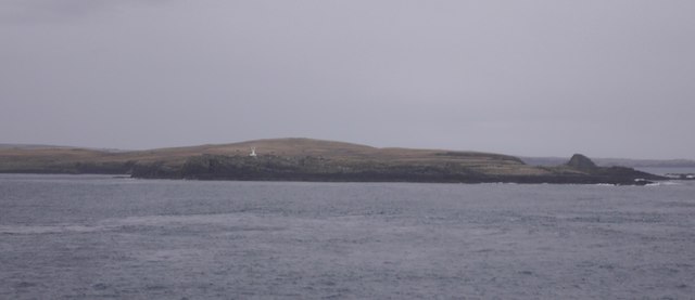
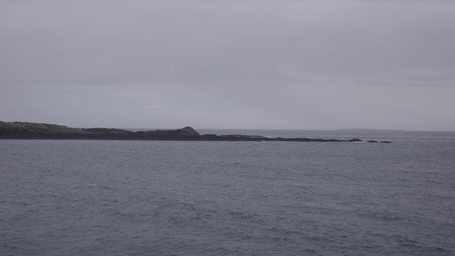
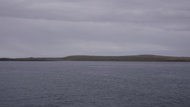
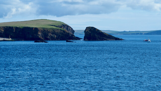
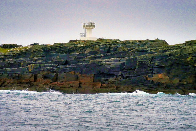
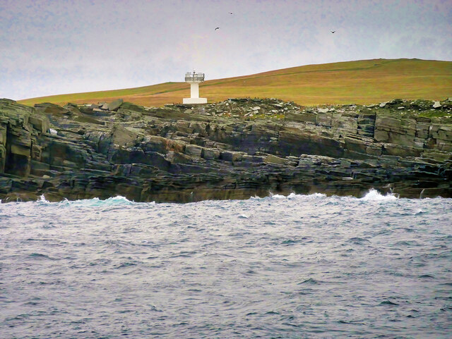
Tray Geo is a prominent coastal feature located in Orkney, a group of islands situated off the northeastern coast of mainland Scotland. It is primarily identified as a headland or point, characterized by its rugged cliffs and stunning views of the surrounding North Sea.
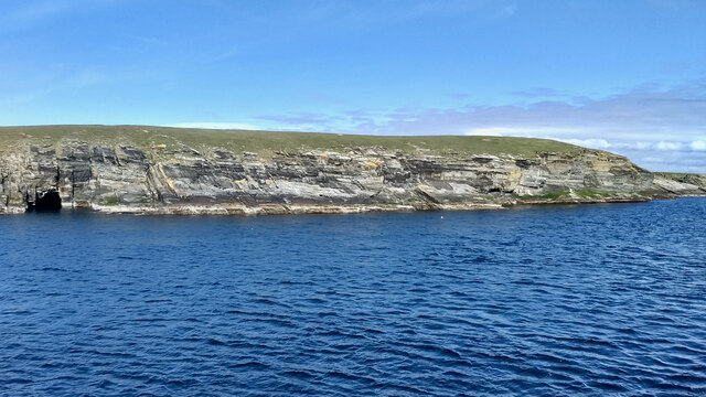
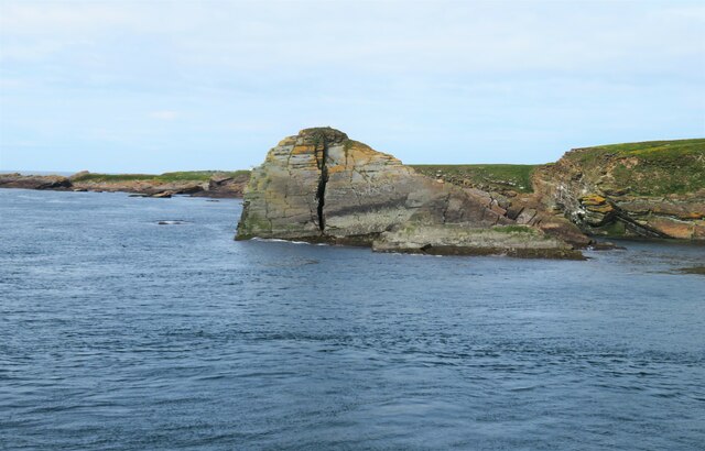
Tray Geo is formed by the erosion and weathering of the sandstone and shale rocks that make up the Orkney archipelago. Its towering cliffs, reaching up to 30 meters in height, display layers of sedimentary rock that have been shaped by the relentless force of the sea. The exposed rocks exhibit a variety of colors, ranging from deep reds to pale yellows, adding to the area's aesthetic appeal.
This coastal feature provides a habitat for a diverse range of seabirds, including fulmars, guillemots, and kittiwakes. Their cries can often be heard echoing along the cliffs, adding to the natural ambiance of the area. Tray Geo is also frequented by seals, which can often be spotted basking on the nearby rocks or swimming in the surrounding waters.
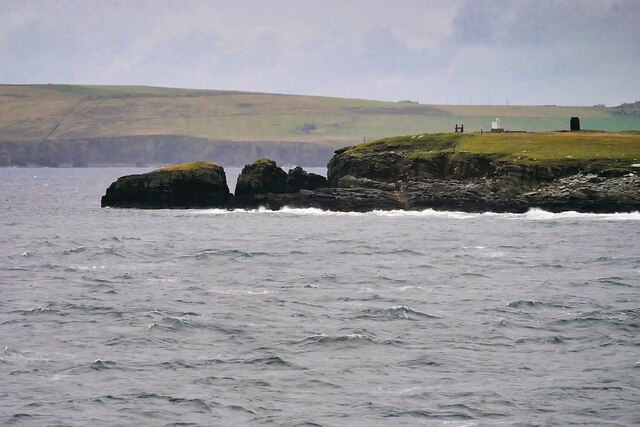
The headland offers breathtaking panoramic views of the surrounding coastline and the open sea. On a clear day, visitors can see as far as the neighboring islands and even catch glimpses of passing ships. Tray Geo is a popular spot for outdoor enthusiasts, who come to enjoy activities such as hiking, birdwatching, and photography.
Overall, Tray Geo is a remarkable coastal feature in Orkney, showcasing the stunning natural beauty and geological diversity of the region. Its rugged cliffs, diverse wildlife, and breathtaking vistas make it a must-visit destination for nature lovers and adventure seekers alike.
If you have any feedback on the listing, please let us know in the comments section below.
Tray Geo Images
Images are sourced within 2km of 58.737168/-3.0609766 or Grid Reference ND3883. Thanks to Geograph Open Source API. All images are credited.
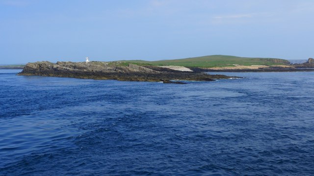
![Warbister Hill Site of a possible building, an enclosure, a quarry, and a modern triangulation pillar; see “Swona, Warbister Hill | Canmore.” 2021. Canmore.org.uk &lt;<span class="nowrap"><a title="https://canmore.org.uk/site/347495/swona-warbister-hill" rel="nofollow ugc noopener" href="https://canmore.org.uk/site/347495/swona-warbister-hill">Link</a><img style="margin-left:2px;" alt="External link" title="External link - shift click to open in new window" src="https://s1.geograph.org.uk/img/external.png" width="10" height="10"/></span> &gt; [accessed 7 June 2021]](https://s1.geograph.org.uk/geophotos/06/86/06/6860697_42cec7a5.jpg)
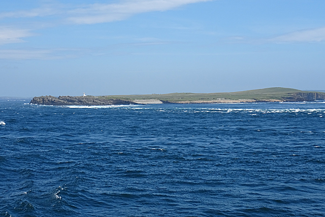
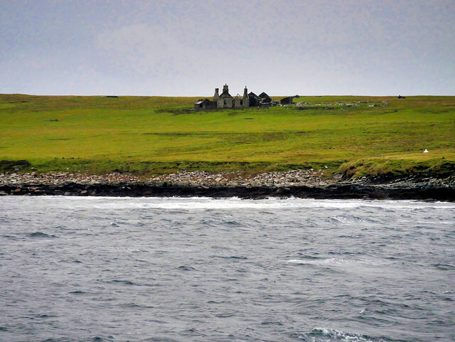
![The Haven Seems to be the main access onto the now un-inhabited island. See “Swona, the Haven | Canmore.” 2021. Canmore.org.uk &lt;<span class="nowrap"><a title="https://canmore.org.uk/site/347498/swona-the-haven" rel="nofollow ugc noopener" href="https://canmore.org.uk/site/347498/swona-the-haven">Link</a><img style="margin-left:2px;" alt="External link" title="External link - shift click to open in new window" src="https://s1.geograph.org.uk/img/external.png" width="10" height="10"/></span> &gt; [accessed 7 June 2021]
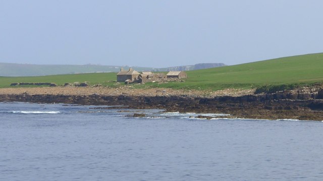
For the farmstead behind see “Swona, Norhead | Canmore.” 2021. Canmore.org.uk &lt;<span class="nowrap"><a title="https://canmore.org.uk/site/345421/swona-norhead" rel="nofollow ugc noopener" href="https://canmore.org.uk/site/345421/swona-norhead">Link</a><img style="margin-left:2px;" alt="External link" title="External link - shift click to open in new window" src="https://s1.geograph.org.uk/img/external.png" width="10" height="10"/></span> &gt; [accessed 7 June 2021]](https://s3.geograph.org.uk/geophotos/06/86/07/6860703_6e889d80.jpg)
Tray Geo is located at Grid Ref: ND3883 (Lat: 58.737168, Lng: -3.0609766)
Unitary Authority: Orkney Islands
Police Authority: Highlands and Islands
What 3 Words
///sailed.messing.sped. Near John o' Groats, Highland
Nearby Locations
Related Wikis

Swona
Swona is an uninhabited privately-owned island in the Pentland Firth off the north coast of Scotland. == Geography and geology == Swona is the more northerly...

MV Cemfjord
The Cemfjord was a Cyprus-registered cargo ship which foundered in the Pentland Firth off the north-east coast of Scotland on 2 January 2015. Built as...

SM U-29 (Germany)
SM U-29 was a Type U-27 U-boat of the Imperial German Navy. She served during the First World War. U-29's last commander was Captain Otto Weddigen. U-29...

Burwick, Orkney
Burwick () is a small harbour on the island of South Ronaldsay in the Orkney Islands, Scotland. It is the closest Orkney harbour to the Scottish mainland...
Cantick Head Lighthouse
The Cantick Head Lighthouse is an active 19th century lighthouse on the Scottish island of South Walls in the Orkney Islands. It is located at the end...

Switha
Switha is a small uninhabited island towards the south of Orkney, Scotland, approximately 41 hectares in area. == Geography and geology == Switha lies...

Island of Stroma
Stroma is an uninhabited island in the Pentland Firth, between Orkney and the mainland of Scotland. It forms part of the civil parish of Canisbay in Caithness...

South Ronaldsay
South Ronaldsay (, also , Scots: Sooth Ronalshee) is one of the Orkney Islands off the north coast of Scotland. It is linked to the Orkney Mainland by...
Nearby Amenities
Located within 500m of 58.737168,-3.0609766Have you been to Tray Geo?
Leave your review of Tray Geo below (or comments, questions and feedback).