Inner Ganges
Coastal Feature, Headland, Point in Orkney
Scotland
Inner Ganges
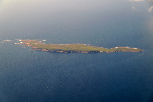
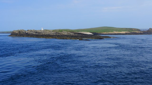
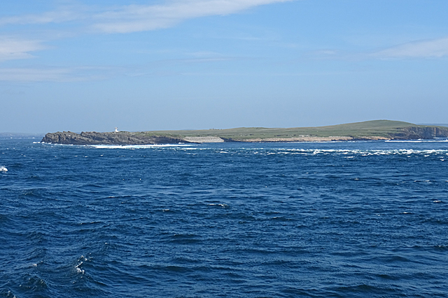
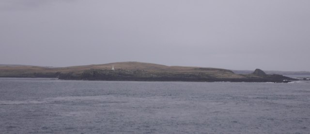
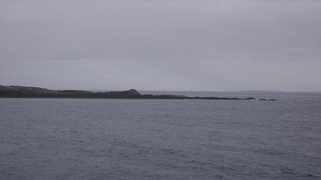
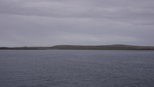
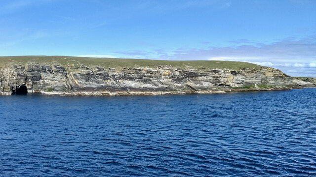
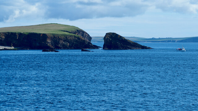
Inner Ganges is a prominent coastal feature located in Orkney, a group of islands in Scotland. It is a headland or point that juts out into the North Sea, offering stunning views of the surrounding landscape. The area is known for its rugged beauty and rich history.
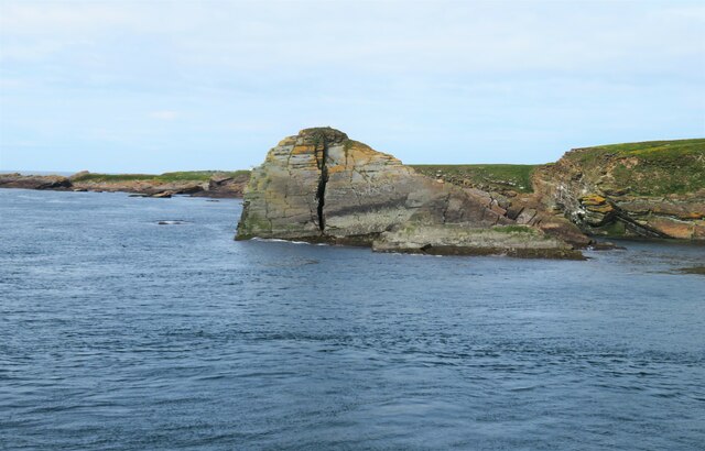
The headland is characterized by its steep cliffs, which rise dramatically from the sea. These cliffs are composed of sandstone and have been shaped by the constant erosion caused by the crashing waves. The exposed rock formations provide a glimpse into the geological history of the region.
Inner Ganges is also home to a diverse range of wildlife. The surrounding waters are teeming with marine life, including seals, dolphins, and various species of seabirds. The headland itself is covered in grassy slopes and heathland, providing a habitat for a variety of bird species, such as puffins, fulmars, and guillemots.
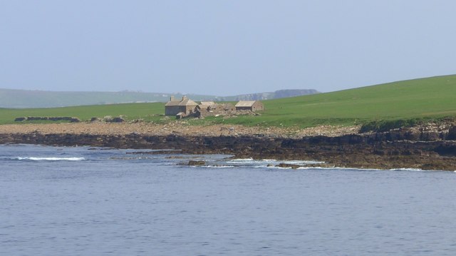
The headland is of historical significance as well. It is believed to have been inhabited since prehistoric times, with archaeological evidence suggesting human activity dating back thousands of years. The area is dotted with ancient ruins and artifacts, including burial mounds and stone structures, which give insight into the lives of the people who once lived here.
Visitors to Inner Ganges can enjoy scenic walks along the cliff tops, taking in the breathtaking views of the sea and surrounding islands. There are also opportunities for birdwatching and exploring the rich history of the area. Inner Ganges is truly a gem of Orkney's coastline, offering a unique blend of natural beauty and cultural heritage.
If you have any feedback on the listing, please let us know in the comments section below.
Inner Ganges Images
Images are sourced within 2km of 58.740906/-3.0640448 or Grid Reference ND3884. Thanks to Geograph Open Source API. All images are credited.
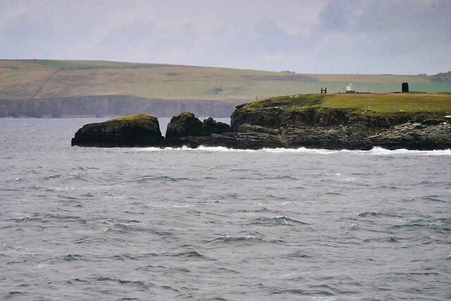
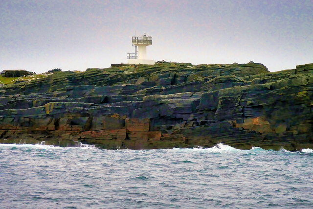
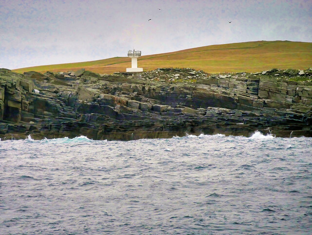
![Warbister Hill Site of a possible building, an enclosure, a quarry, and a modern triangulation pillar; see “Swona, Warbister Hill | Canmore.” 2021. Canmore.org.uk &lt;<span class="nowrap"><a title="https://canmore.org.uk/site/347495/swona-warbister-hill" rel="nofollow ugc noopener" href="https://canmore.org.uk/site/347495/swona-warbister-hill">Link</a><img style="margin-left:2px;" alt="External link" title="External link - shift click to open in new window" src="https://s1.geograph.org.uk/img/external.png" width="10" height="10"/></span> &gt; [accessed 7 June 2021]](https://s1.geograph.org.uk/geophotos/06/86/06/6860697_42cec7a5.jpg)
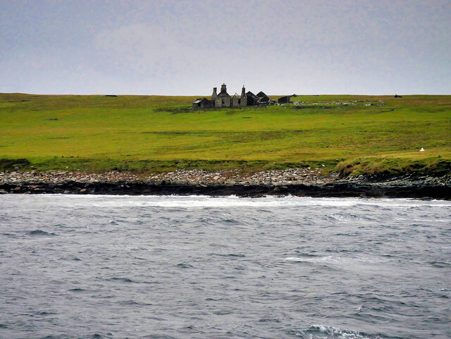
![The Haven Seems to be the main access onto the now un-inhabited island. See “Swona, the Haven | Canmore.” 2021. Canmore.org.uk &lt;<span class="nowrap"><a title="https://canmore.org.uk/site/347498/swona-the-haven" rel="nofollow ugc noopener" href="https://canmore.org.uk/site/347498/swona-the-haven">Link</a><img style="margin-left:2px;" alt="External link" title="External link - shift click to open in new window" src="https://s1.geograph.org.uk/img/external.png" width="10" height="10"/></span> &gt; [accessed 7 June 2021]
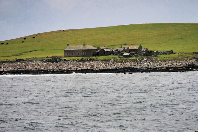
For the farmstead behind see “Swona, Norhead | Canmore.” 2021. Canmore.org.uk &lt;<span class="nowrap"><a title="https://canmore.org.uk/site/345421/swona-norhead" rel="nofollow ugc noopener" href="https://canmore.org.uk/site/345421/swona-norhead">Link</a><img style="margin-left:2px;" alt="External link" title="External link - shift click to open in new window" src="https://s1.geograph.org.uk/img/external.png" width="10" height="10"/></span> &gt; [accessed 7 June 2021]](https://s3.geograph.org.uk/geophotos/06/86/07/6860703_6e889d80.jpg)
Inner Ganges is located at Grid Ref: ND3884 (Lat: 58.740906, Lng: -3.0640448)
Unitary Authority: Orkney Islands
Police Authority: Highlands and Islands
What 3 Words
///spider.avocado.upward. Near St Margaret's Hope, Orkney Islands
Nearby Locations
Related Wikis

Swona
Swona is an uninhabited privately owned island in the Pentland Firth off the north coast of Scotland. It has a herd of feral cattle resulting from the...

MV Cemfjord
The Cemfjord was a Cyprus-registered cargo ship which foundered in the Pentland Firth off the north-east coast of Scotland on 2 January 2015. Built as...

SM U-29 (Germany)
SM U-29 was a Type U-27 U-boat of the Imperial German Navy. She served during the First World War. U-29's last commander was Captain Otto Weddigen. U-29...

Burwick, Orkney
Burwick () is a small harbour on the island of South Ronaldsay in the Orkney Islands, Scotland. It is the closest Orkney harbour to the Scottish mainland...
Nearby Amenities
Located within 500m of 58.740906,-3.0640448Have you been to Inner Ganges?
Leave your review of Inner Ganges below (or comments, questions and feedback).