Wardie Geo
Coastal Feature, Headland, Point in Caithness
Scotland
Wardie Geo
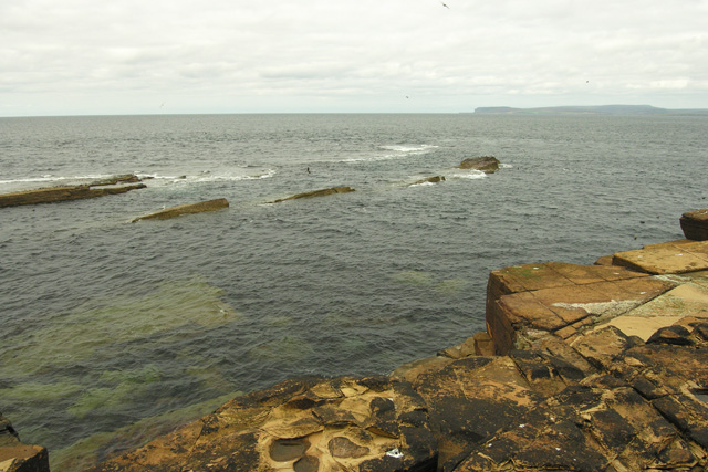
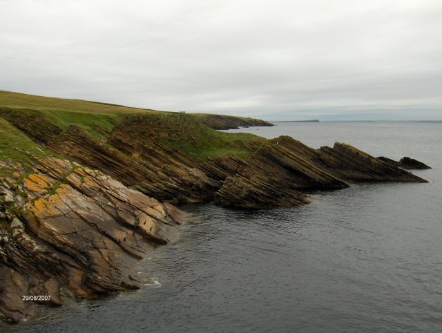
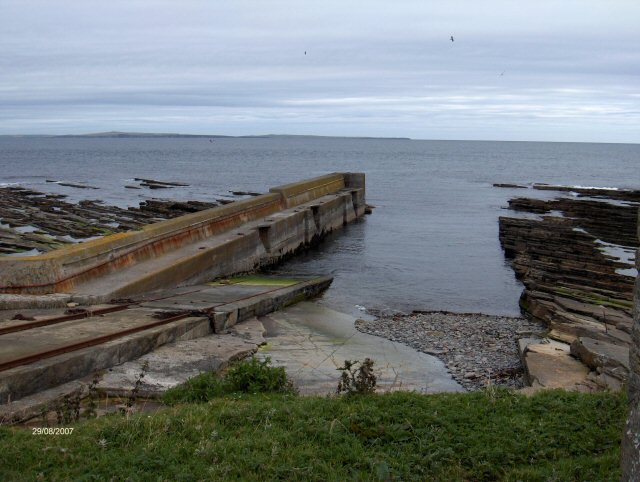
Wardie Geo is a prominent coastal feature located in the Caithness region of Scotland. It is primarily characterized as a headland or point, jutting out into the North Sea. This coastal feature is known for its rugged and rocky terrain, with cliffs rising steeply out of the water. The headland is composed of sandstone and conglomerate rocks that have been shaped by the relentless force of the sea over millions of years.
Wardie Geo offers breathtaking views of the surrounding coastline and the vast expanse of the ocean. The headland is a popular destination for nature enthusiasts, hikers, and photographers who are drawn to its dramatic and picturesque landscapes. It is also a haven for various seabird species, including fulmars, guillemots, and puffins, which nest along its cliffs.
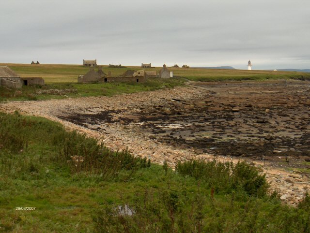
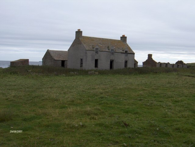
The area surrounding Wardie Geo is rich in history and heritage. There are several ancient sites nearby, such as the remains of Iron Age brochs and settlements, which serve as a reminder of the area's long-standing human presence. These archaeological sites provide valuable insights into the lives of the people who once inhabited this coastal region.
Visitors to Wardie Geo can enjoy exploring the headland on foot, following the well-defined coastal paths that offer panoramic views of the coastline. It is essential to exercise caution when walking along the cliffs, as they can be steep and prone to erosion. However, the breathtaking scenery and tranquil atmosphere make Wardie Geo a must-visit destination for those seeking a true coastal experience in Caithness.
If you have any feedback on the listing, please let us know in the comments section below.
Wardie Geo Images
Images are sourced within 2km of 58.694664/-3.1134824 or Grid Reference ND3579. Thanks to Geograph Open Source API. All images are credited.


Wardie Geo is located at Grid Ref: ND3579 (Lat: 58.694664, Lng: -3.1134824)
Unitary Authority: Highland
Police Authority: Highlands and Islands
What 3 Words
///dollar.etchings.caps. Near John o' Groats, Highland
Nearby Locations
Related Wikis

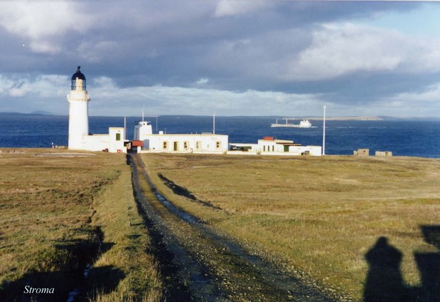
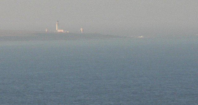
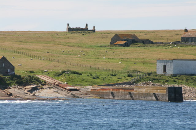
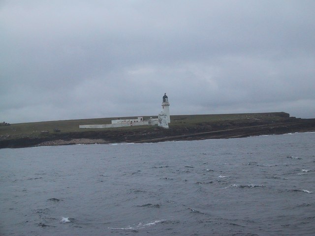
Island of Stroma
Stroma is an uninhabited island in the Pentland Firth, between Orkney and the mainland of Scotland. It forms part of the civil parish of Canisbay in Caithness...

SM U-29 (Germany)
SM U-29 was a Type U-27 U-boat of the Imperial German Navy. She served during the First World War. U-29's last commander was Captain Otto Weddigen. U-29...

MV Cemfjord
The Cemfjord was a Cyprus-registered cargo ship which foundered in the Pentland Firth off the north-east coast of Scotland on 2 January 2015. Built as...
MeyGen
MeyGen (full name MeyGen tidal energy project) will be the world's largest tidal energy plant, which is currently in construction. The first phase of the...

Pentland Firth
The Pentland Firth (Scottish Gaelic: An Caol Arcach, meaning the Orcadian Strait) is a strait which separates the Orkney Islands from Caithness in the...

Gills Bay
Gills Bay, which is situated about 3 mi (4.8 km) west of John o' Groats with the community of Gills close by, has one of the longest stretches of low-lying...
Huna House
Huna House is a Victorian building located in the small village of Huna in Canisbay, north of Caithness. Built in 1870 as the Huna Hotel, it is listed...

Huna, Caithness
Huna is a small remote crofting township, located 1 mile northeast of Canisbay and 1.5 miles west of John o' Groats in Caithness, in Scotland. It is currently...
Nearby Amenities
Located within 500m of 58.694664,-3.1134824Have you been to Wardie Geo?
Leave your review of Wardie Geo below (or comments, questions and feedback).