Swilkie Point

Coastal Feature, Headland, Point in Caithness

Scotland

Swilkie Point

Stroma Lighthouse with Pentland Firth & Orkney in distance.
Stroma Lighthouse with Pentland Firth & Orkney in distance. Credit: Ron Ireland

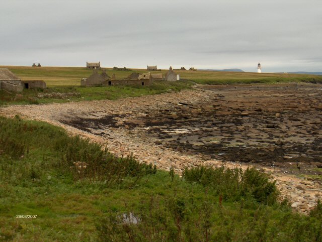
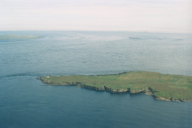
Swilkie Point is a prominent headland located on the northeast coast of Caithness, Scotland. This coastal feature is characterized by its rugged cliffs, stunning views, and rich biodiversity. It is situated just a few miles north of the town of Wick and is easily accessible by a well-maintained footpath.

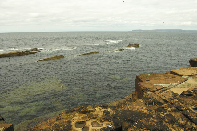
The headland is formed by resistant sandstone and conglomerate rock layers, which have been shaped by centuries of erosion from the powerful North Sea waves. As a result, the cliffs at Swilkie Point rise dramatically from the sea, reaching heights of up to 100 meters in some areas. These cliffs offer a breathtaking panoramic view of the surrounding coastline and the distant Orkney Islands on clear days.

Swilkie Point is renowned for its diverse wildlife. The area is a haven for seabirds, including puffins, guillemots, and razorbills, which nest in the cliffs during the breeding season. Visitors can often spot these colorful birds diving into the sea or perched on the rocky ledges. The surrounding waters are also home to a variety of marine life, including seals and dolphins, making it a popular spot for wildlife enthusiasts.

In addition to its natural beauty, Swilkie Point has historical significance. The ruins of an ancient broch, a circular stone tower dating back to the Iron Age, can be found on the headland. This archaeological site offers a glimpse into the area's rich cultural heritage.

Overall, Swilkie Point is a captivating coastal feature that combines stunning natural landscapes, abundant wildlife, and historical intrigue. It is a must-visit destination for those seeking a unique and enriching experience on the Caithness coastline.

If you have any feedback on the listing, please let us know in the comments section below.

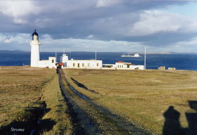
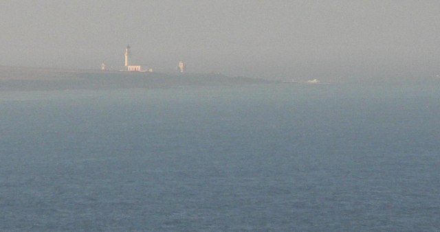
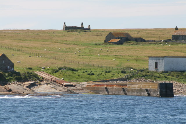
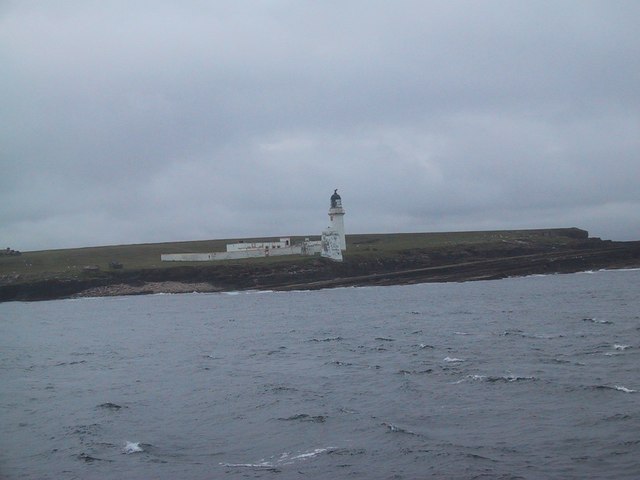
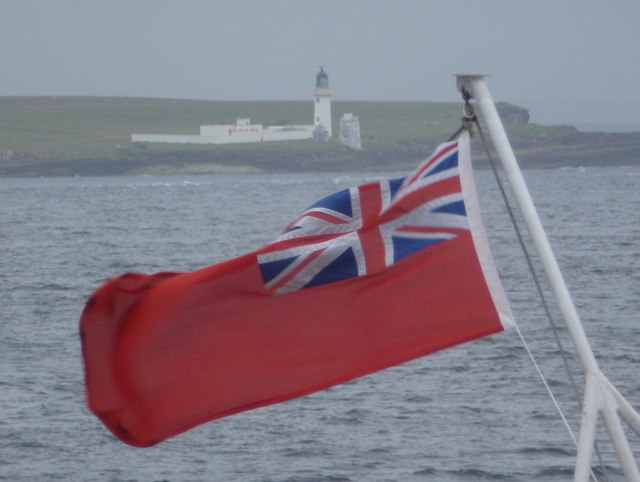
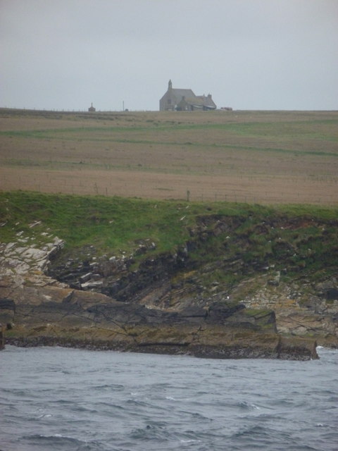
Swilkie Point Images

Images are sourced within 2km of 58.696635/-3.11515 or Grid Reference ND3579. Thanks to Geograph Open Source API. All images are credited.

Stroma Lighthouse with Pentland Firth & Orkney in distance.
Stroma: the lighthouse The lighthouse on Stroma viewed from Duncansby Head.
Stroma: the lighthouse
The lighthouse on Stroma viewed from Duncansby Head.
Geo of Nethertown Pier Abandoned Stroma, island in the stream, now inhabited by sheep.
Geo of Nethertown Pier
Abandoned Stroma, island in the stream, now inhabited by sheep.
Collapsed Sea Cave Collapsed sea cave, creating a subterranean passage.  The photograph shows the cave opening and the land beyond.
Collapsed Sea Cave
Collapsed sea cave, creating a subterranean passage. The photograph shows the cave opening and the land beyond.
Coast of Stroma Abandoned house above rocky coastline of Stroma.
Coast of Stroma
Abandoned house above rocky coastline of Stroma.
Western cliffs of Stroma Looking north towards Orkney, the sea batters the cliffs and under cuts the cliffs creating caves/inlets.
Western cliffs of Stroma
Looking north towards Orkney, the sea batters the cliffs and under cuts the cliffs creating caves/inlets.
Cottage on Stroma A view of a derelict cottage on the uninhabited island of Stroma, situated in the Pentland Firth.
Cottage on Stroma
A view of a derelict cottage on the uninhabited island of Stroma, situated in the Pentland Firth.
Lighthouse on the Island of Stroma
Langaton Point, Stroma These skerries provide an ideal haul-out for Grey Atlantic seals. The rock is Old Red Sandstone. Very strong tidal streams provide a spectacular display of overfalls and whirlpools. Indeed, the name Stroma comes from the Norse, straum-oy, meaning island in the stream.
Langaton Point, Stroma
These skerries provide an ideal haul-out for Grey Atlantic seals. The rock is Old Red Sandstone. Very strong tidal streams provide a spectacular display of overfalls and whirlpools. Indeed, the name Stroma comes from the Norse, straum-oy, meaning island in the stream.
The Gloup Stroma Inland feature with access to the sea through underground cave.
The Gloup Stroma
Inland feature with access to the sea through underground cave.
Island of Stroma Nice cave in the cliff face on the Island of Stroma
Island of Stroma
Nice cave in the cliff face on the Island of Stroma
Ruined houses Some of the ruins on the east side of Stroma with the light house in the background
Ruined houses
Some of the ruins on the east side of Stroma with the light house in the background
Island dwelling This house was to be my home until 1955.
Island dwelling
This house was to be my home until 1955.
Island harbour This pier served the north end islanders to keep their boats in.
Island harbour
This pier served the north end islanders to keep their boats in.
All Lined Up All 9 vintage tractors lined up in the centre of the car deck of the Pentland Ferries Pentalina heading for Orkney and passing the now uninhabited island of Stroma.
All Lined Up
All 9 vintage tractors lined up in the centre of the car deck of the Pentland Ferries Pentalina heading for Orkney and passing the now uninhabited island of Stroma.
Stroma: the lighthouse from the ferry Looking from the Gills Bay to Orkney ferry towards the northern end of the island of Stroma. The stiff breeze today was illustrated well by the boat's flag.
Stroma: the lighthouse from the ferry
Looking from the Gills Bay to Orkney ferry towards the northern end of the island of Stroma. The stiff breeze today was illustrated well by the boat's flag.
Stroma: the church from the passing ferry Travelling from Gills Bay on the mainland to Orkney, we pass the abandoned island of Stroma which has many buildings remaining.
Stroma: the church from the passing ferry
Travelling from Gills Bay on the mainland to Orkney, we pass the abandoned island of Stroma which has many buildings remaining.
Stroma 2007: aerial On this northern part of the island and this piece of coastline alone are a chambered cairn, a place called "Little Gloup", a fort, caves and a subterranean passage.
Stroma 2007: aerial
On this northern part of the island and this piece of coastline alone are a chambered cairn, a place called "Little Gloup", a fort, caves and a subterranean passage.
Show me another place!

Swilkie Point is located at Grid Ref: ND3579 (Lat: 58.696635, Lng: -3.11515)

Unitary Authority: Highland

Police Authority: Highlands and Islands

What 3 Words

///ticking.existence.residual. Near John o' Groats, Highland

Related Wikis

Island of Stroma

Stroma is an uninhabited island in the Pentland Firth, between Orkney and the mainland of Scotland. It forms part of the civil parish of Canisbay in Caithness...

SM U-29 (Germany)

SM U-29 was a Type U-27 U-boat of the Imperial German Navy. She served during the First World War. U-29's last commander was Captain Otto Weddigen. U-29...

MV Cemfjord

The Cemfjord was a Cyprus-registered cargo ship which foundered in the Pentland Firth off the north-east coast of Scotland on 2 January 2015. Built as...

MeyGen

MeyGen (full name MeyGen tidal energy project) is a tidal stream energy plant in the north of Scotland. The project is located in the Pentland Firth, specifically...

Nearby Amenities

Located within 500m of 58.696635,-3.11515
Stroma Lighthouse
Man Made: lighthouse
Seamark Light Character: Fl
Seamark Light Colour: white
Seamark Light Group: 2
Seamark Light Height: 32
Seamark Light Period: 20
Seamark Light Range: 26
Seamark Light Reference: A 3568
Seamark Light Sequence: 0.3+(3.6)+0.3+(15.8)
Seamark Radio Station Category: ais
Seamark Radio Station Mmsi: 992351092
Seamark Type: light_major
Source: OS7
Wikidata: Q28831542
Lat/Long: 58.6958841/-3.1167909
Swilkie Point
Natural: cape
Lat/Long: 58.695975/-3.1138852
Bay of Caves
Natural: bay
Lat/Long: 58.6934825/-3.1120456
The data included in this document is from www.openstreetmap.org. The data is made available under ODbL.

Have you been to Swilkie Point?

Leave your review of Swilkie Point below (or comments, questions and feedback).