Innan Neb
Coastal Feature, Headland, Point in Orkney
Scotland
Innan Neb

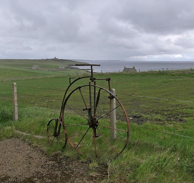
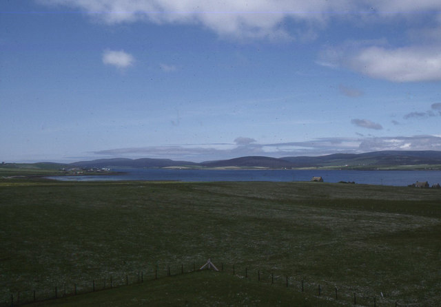
Innan Neb is a prominent coastal feature located in Orkney, an archipelago situated off the northeastern coast of Scotland. It is a headland or point that juts out into the North Sea, offering stunning views of the surrounding landscape.
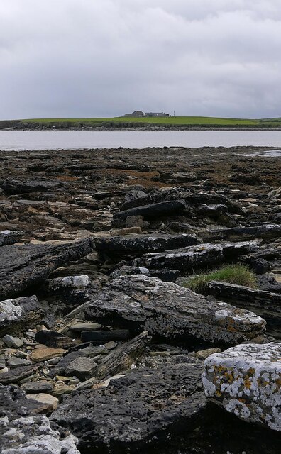
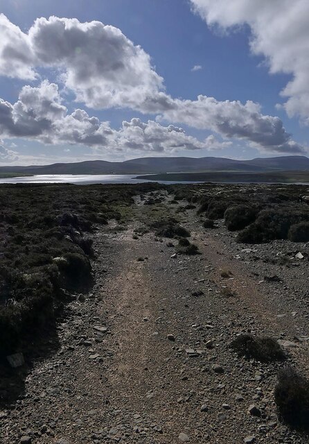
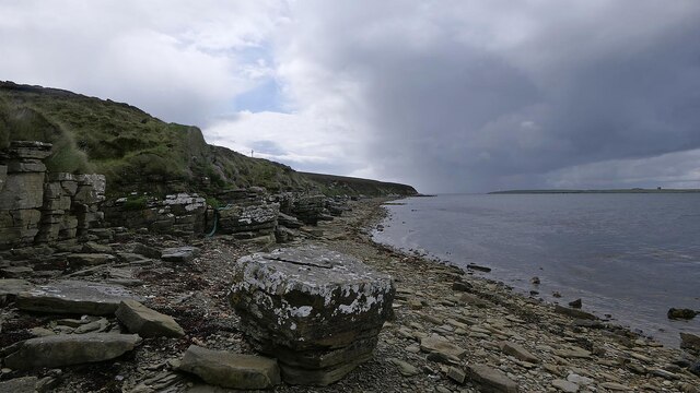
This coastal feature is characterized by its rugged and rocky terrain, with steep cliffs that rise dramatically from the sea. The cliffs are composed of layers of sandstone and shale, which have been shaped by the relentless force of the ocean waves over thousands of years. At the top of the cliffs, there is a grassy plateau, providing a vantage point for visitors to enjoy the panoramic vistas of the sea and the nearby islands.
Innan Neb is also known for its rich biodiversity. The surrounding waters are home to a variety of marine life, including seals, dolphins, and numerous species of seabirds. The cliffs themselves provide nesting sites for seabird colonies, such as puffins, guillemots, and kittiwakes, making it a popular spot for birdwatching enthusiasts.
Due to its exposed location, Innan Neb is often subject to strong winds and turbulent seas, adding to its wild and untamed beauty. It is not uncommon to witness crashing waves and spray as they collide with the cliffs, creating a sense of awe and wonder.
In recent years, Innan Neb has become a popular destination for hikers and nature enthusiasts, who are drawn to its dramatic landscapes and diverse wildlife. It offers a unique opportunity to experience the rugged beauty of Orkney's coastline and immerse oneself in the natural wonders of this remote and enchanting location.
If you have any feedback on the listing, please let us know in the comments section below.
Innan Neb Images
Images are sourced within 2km of 58.813487/-3.1252189 or Grid Reference ND3592. Thanks to Geograph Open Source API. All images are credited.


Innan Neb is located at Grid Ref: ND3592 (Lat: 58.813487, Lng: -3.1252189)
Unitary Authority: Orkney Islands
Police Authority: Highlands and Islands
What 3 Words
///residual.forever.weeps. Near Lyness, Orkney Islands
Nearby Locations
Related Wikis

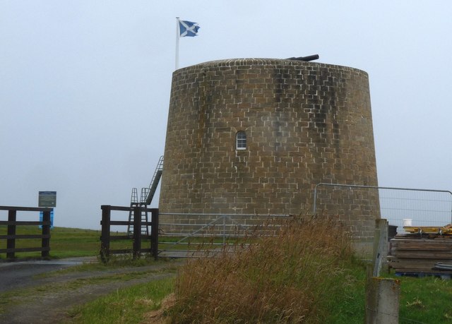
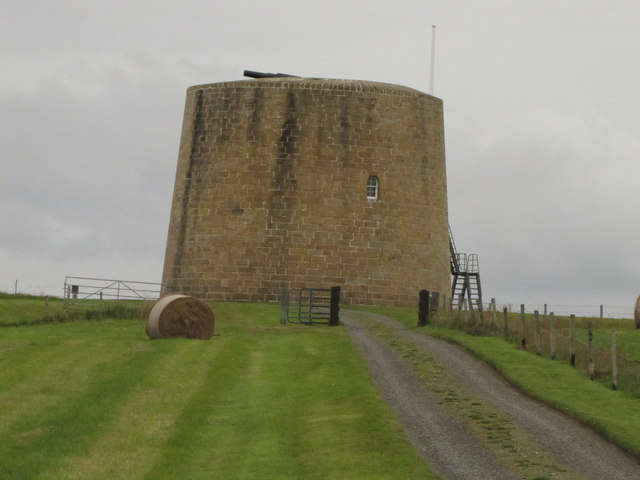
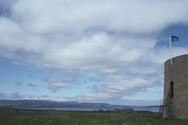
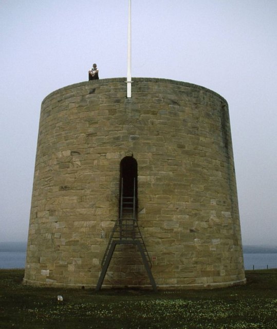
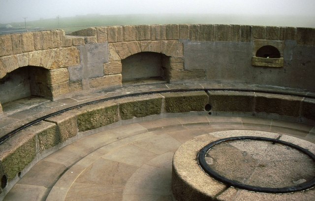
Hackness Martello Tower and Battery
Hackness Martello Tower and Battery is a British Army barracks and museum located on the island of South Walls, in Orkney, Scotland. == History == The...
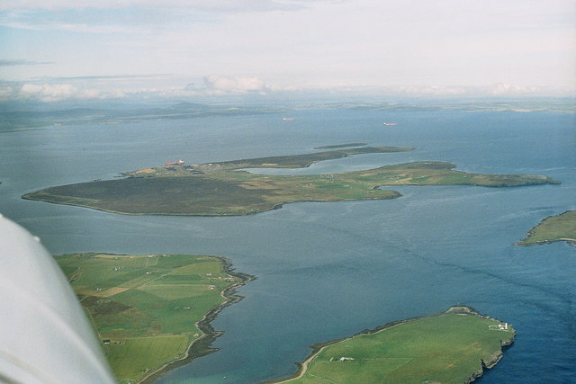
Flotta
Flotta () is a small island in Orkney, Scotland, lying in Scapa Flow. The island is known for its large oil terminal and is linked by Orkney Ferries to...

Switha
Switha is a small uninhabited island towards the south of Orkney, Scotland, approximately 41 hectares in area. == Geography and geology == Switha lies...

Whome
Whome is the largest settlement on the Orkney island of Flotta, Scotland. The village is situated on the B9046, the main road across Flotta. Views from...

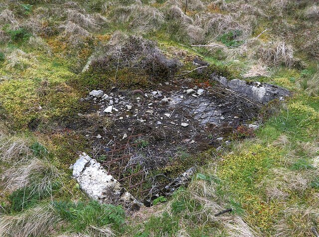
Crockness Martello tower
Crockness Martello Tower is a Martello Tower on Hoy, Orkney, Scotland. It was built during the Napoleonic Wars, at the same time as the Martello Tower...
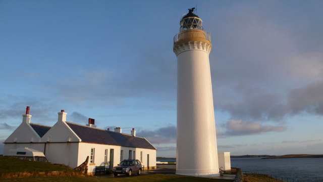
Cantick Head Lighthouse
The Cantick Head Lighthouse is an active 19th century lighthouse on the Scottish island of South Walls in the Orkney Islands. It is located at the end...

South Walls
South Walls (Scots: Sooth Waas), often referred to as Walls, is an inhabited island adjacent to Hoy in Orkney, Scotland. The name is a corruption of "Sooth...

Fara, Orkney
Fara (, Old Norse: Færey ) is a small island in Orkney, Scotland, lying in Scapa Flow between the islands of Flotta and Hoy. It has been uninhabited since...
Nearby Amenities
Located within 500m of 58.813487,-3.1252189Have you been to Innan Neb?
Leave your review of Innan Neb below (or comments, questions and feedback).