Scat Wick

Bay in Orkney

Scotland

Scat Wick

Moorland track, Flotta, Orkney Looking towards Switha.

The track was probably formerly used to access peat cutting areas.
Moorland track, Flotta, Orkney Credit: Claire Pegrum

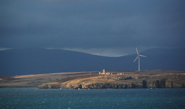
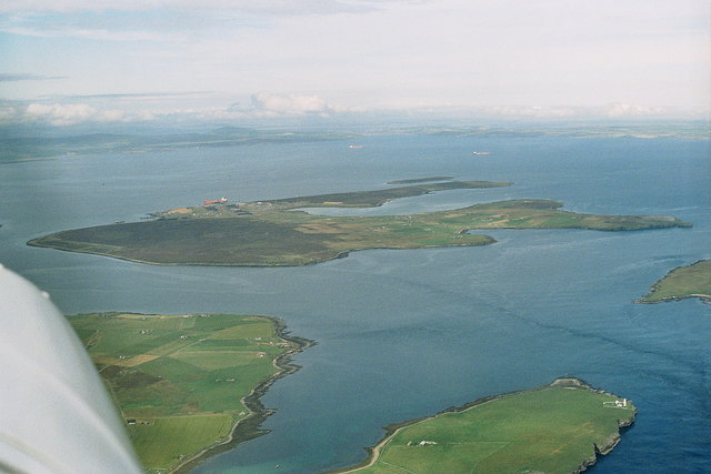
Scat Wick is a picturesque bay located on the northeastern coast of the Orkney Islands in Scotland. Surrounded by stunning natural beauty, it offers visitors a tranquil and idyllic setting to enjoy the rugged coastal landscape.

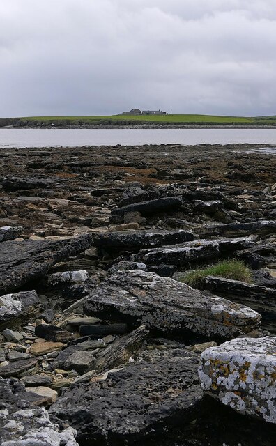
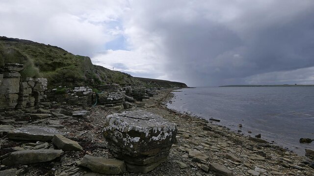
The bay is characterized by its sandy beach, which stretches for approximately half a mile and is framed by imposing cliffs on either side. The sand, composed of fine grains, is often found dotted with numerous shells and rocks, adding to its charm. The crystal-clear waters of the North Sea gently lap against the shore, providing an inviting spot for swimming or paddling on warmer days.

The bay is also known for its rich wildlife, attracting birdwatchers and nature enthusiasts from far and wide. A variety of seabirds, such as fulmars, kittiwakes, and guillemots, can be spotted nesting on the cliffs. In addition, seals can often be seen basking on the rocks or swimming near the shoreline, adding to the area's natural allure.

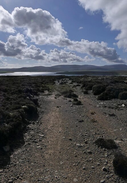
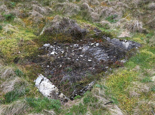
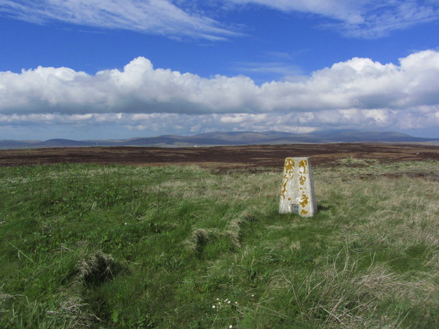
Scat Wick is a popular destination for walkers and hikers, as it offers breathtaking cliff-top paths that provide panoramic views of the bay and the surrounding coastline. The area is also home to a number of archaeological sites, including ancient burial mounds and the remains of a Viking settlement, adding a historical dimension to the location.

With its unspoiled natural beauty, diverse wildlife, and historical significance, Scat Wick is a must-visit destination for those seeking a peaceful and enchanting experience on the Orkney Islands.

If you have any feedback on the listing, please let us know in the comments section below.

Scat Wick Images

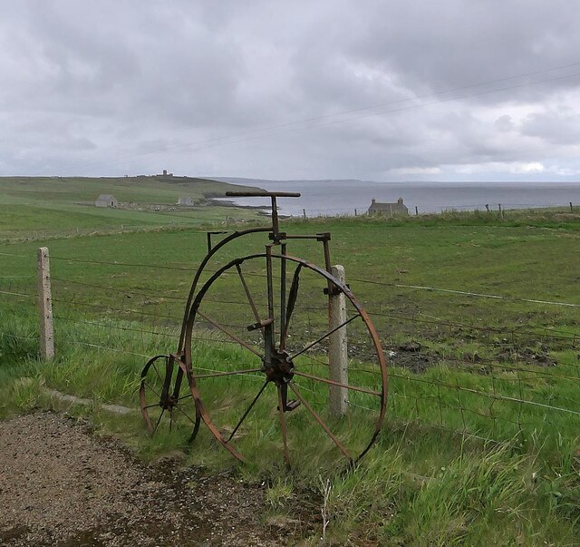
Images are sourced within 2km of 58.815005/-3.1189658 or Grid Reference ND3592. Thanks to Geograph Open Source API. All images are credited.

Moorland track, Flotta, Orkney Looking towards Switha.

The track was probably formerly used to access peat cutting areas.
Moorland track, Flotta, Orkney
Looking towards Switha. The track was probably formerly used to access peat cutting areas.
Triangulation pillar, West Hill, Flotta, Orkney The high ground to the left is on Hoy and the island to the right of centre is Cava with Orkney Mainland behind.
Triangulation pillar, West Hill, Flotta, Orkney
The high ground to the left is on Hoy and the island to the right of centre is Cava with Orkney Mainland behind.
Triangulation pillar and wind turbine, West Hill, Flotta, Orkney The wind turbine was made in Germany by Enercon, has a rated power of 2.3MW and became operational in 2010.  It is privately owned by an individual who says he will provide £100,000 to Flotta Community Council over its lifetime.
Triangulation pillar and wind turbine, West Hill, Flotta, Orkney
The wind turbine was made in Germany by Enercon, has a rated power of 2.3MW and became operational in 2010. It is privately owned by an individual who says he will provide £100,000 to Flotta Community Council over its lifetime.
Penny farthing sculpture, Flotta, Orkney This is one of several sculptures made of recycled materials which can be found on Flotta.  See also <a href="https://www.geograph.org.uk/photo/882445">ND3494 : Oystercatchers on Flotta</a> and <a href="https://www.geograph.org.uk/photo/1864035">ND3793 : Doodlebug</a>.

In the distance to the left can be seen Flotta Kirk which also lies within the grid square.
Penny farthing sculpture, Flotta, Orkney
This is one of several sculptures made of recycled materials which can be found on Flotta. See also ND3494 : Oystercatchers on Flotta and ND3793 : Doodlebug. In the distance to the left can be seen Flotta Kirk which also lies within the grid square.
Kirkie Taing, Flotta, Orkney Looking across Kirk Bay towards the farm called Banks which also lies within the grid square.

This rocky outcrop, which is covered at high tide, lies to the south east of Flotta's church, or kirk.  Taing is derived from the Old Norse word Tangi meaning tongue.
Kirkie Taing, Flotta, Orkney
Looking across Kirk Bay towards the farm called Banks which also lies within the grid square. This rocky outcrop, which is covered at high tide, lies to the south east of Flotta's church, or kirk. Taing is derived from the Old Norse word Tangi meaning tongue.
Moorland track, Flotta, Orkney Looking towards Fara and Hoy beyond.

The track was probably formerly used to access peat cutting areas.
Moorland track, Flotta, Orkney
Looking towards Fara and Hoy beyond. The track was probably formerly used to access peat cutting areas.
Coastline, Flotta, Orkney Looking across Weddel Sound towards Fara and the Hoy hills beyond.
Coastline, Flotta, Orkney
Looking across Weddel Sound towards Fara and the Hoy hills beyond.
Coastline, Flotta, Orkney Looking across Weddel Sound towards Fara and the Hoy hills beyond.
Coastline, Flotta, Orkney
Looking across Weddel Sound towards Fara and the Hoy hills beyond.
Coastline, Flotta, Orkney Looking towards Ruff of Cantick on South Walls.
Coastline, Flotta, Orkney
Looking towards Ruff of Cantick on South Walls.
Barrage balloon mooring block and ring, Wharth, Flotta, Orkney This was one of many barrage balloon sites which protected the Scapa Flow naval anchorage during WWII.  The presence of barrage balloons meant enemy aircraft had to fly higher than they would have done otherwise and reduced the accuracy of their bombing.  The Orkney barrage balloons were operated and maintained by the specially formed 950 Squadron of the RAF which was based at Lyness on Hoy.
Barrage balloon mooring block and ring, Wharth, Flotta, Orkney
This was one of many barrage balloon sites which protected the Scapa Flow naval anchorage during WWII. The presence of barrage balloons meant enemy aircraft had to fly higher than they would have done otherwise and reduced the accuracy of their bombing. The Orkney barrage balloons were operated and maintained by the specially formed 950 Squadron of the RAF which was based at Lyness on Hoy.
Stanger Head, Flotta The control tower for the WW2 coastal defences at Stanger Head is conspicuous in the sunlight. Flotta wind turbine beyond and the high hills of Hoy in the distance.
Stanger Head, Flotta
The control tower for the WW2 coastal defences at Stanger Head is conspicuous in the sunlight. Flotta wind turbine beyond and the high hills of Hoy in the distance.
Flotta 2007, aerial With Hoy and South Walls underneath, and Switha to the right.
Flotta 2007, aerial
With Hoy and South Walls underneath, and Switha to the right.
Flotta oil terminal 2007, aerial
Point of The Pool, Switha Taken through the drizzle, just before 6a.m. on 30/6/12 from the Karin. En-route to spending most of the day off Cantick Head, Hoy with a party of marine biologists.
Point of The Pool, Switha
Taken through the drizzle, just before 6a.m. on 30/6/12 from the Karin. En-route to spending most of the day off Cantick Head, Hoy with a party of marine biologists.
Point of The Pool, Switha Taken at 6 a.m. through the drizzle.
Point of The Pool, Switha
Taken at 6 a.m. through the drizzle.
Point of The Pool, Switha Looking through the drizzle across Cantick Sound to Switha, with Flotta beyond.
Point of The Pool, Switha
Looking through the drizzle across Cantick Sound to Switha, with Flotta beyond.
Flotta; Wind Turbine, Ward Hill
Flotta; Trig point on Ward Hill & view towards Hoy
Show me another place!

Scat Wick is located at Grid Ref: ND3592 (Lat: 58.815005, Lng: -3.1189658)

Unitary Authority: Orkney Islands

Police Authority: Highlands and Islands

What 3 Words

///raves.twitching.fooling. Near Lyness, Orkney Islands

Related Wikis

Whome

Whome is the largest settlement on the Orkney island of Flotta, Scotland. The village is situated on the B9046, the main road across Flotta. Views from...

Hackness Martello Tower and Battery

Hackness Martello Tower and Battery is a British Army barracks and museum located on the island of South Walls, in Orkney, Scotland. == History == The...

Flotta

Flotta () is a small island in Orkney, Scotland, lying in Scapa Flow. The island is known for its large oil terminal and is linked by Orkney Ferries to...

Switha

Switha is a small uninhabited island towards the south of Orkney, Scotland, approximately 41 hectares in area. == Geography and geology == Switha lies...

Nearby Amenities

Located within 500m of 58.815005,-3.1189658
Point of Leval
Natural: cape
Lat/Long: 58.815449/-3.1156357
Innan Neb
Natural: cape
Lat/Long: 58.8131823/-3.1259998
Passing Place
Source: Bing
Lat/Long: 58.8162364/-3.1216835
Power: pole
Lat/Long: 58.8175593/-3.1154481
Power: pole
Lat/Long: 58.8176853/-3.1133193
The data included in this document is from www.openstreetmap.org. The data is made available under ODbL.

Have you been to Scat Wick?

Leave your review of Scat Wick below (or comments, questions and feedback).