Muckle Red Craig

Coastal Feature, Headland, Point in Caithness

Scotland

Muckle Red Craig

The A99 at Bruan The remains of the Bruan Broch can be seen as a grassy hump just left of centre.
The A99 at Bruan Credit: David Purchase

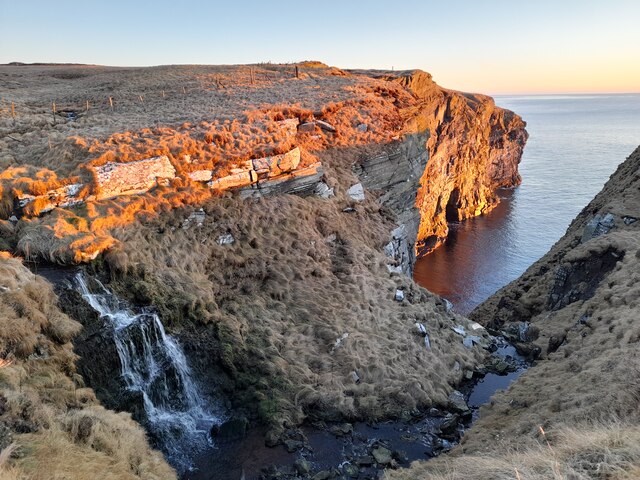
Muckle Red Craig is a prominent coastal feature located in Caithness, a county in the Highland region of Scotland. Situated on the northeastern coast, this headland juts out into the North Sea, offering stunning views of the surrounding landscape.

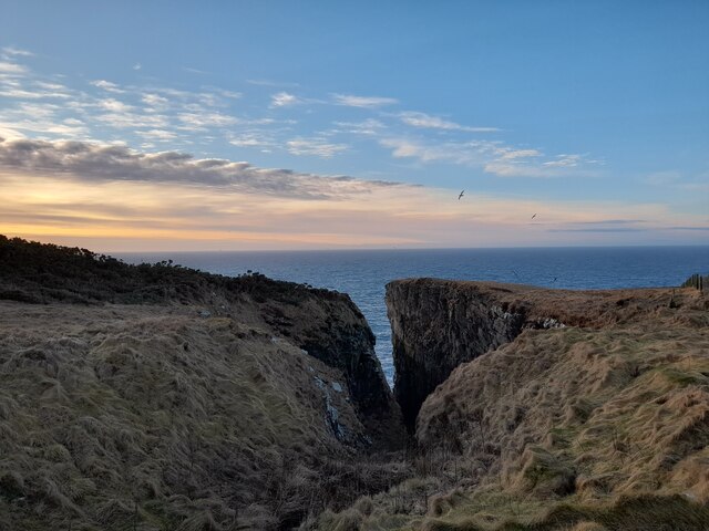
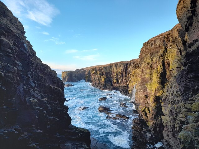
The name "Muckle Red Craig" is derived from the Scots language and translates to "large red rock." This is an apt description, as the headland is characterized by a towering red sandstone cliff that rises dramatically from the sea. The cliff face is weathered and eroded, displaying intricate patterns and formations that have been shaped by centuries of wind and waves.

The headland is a popular destination for nature enthusiasts and hikers, who are drawn to its rugged beauty and the opportunity to explore the coastal scenery. It is also a haven for birdwatchers, as the cliff provides nesting sites for various seabirds, including fulmars, kittiwakes, and guillemots.

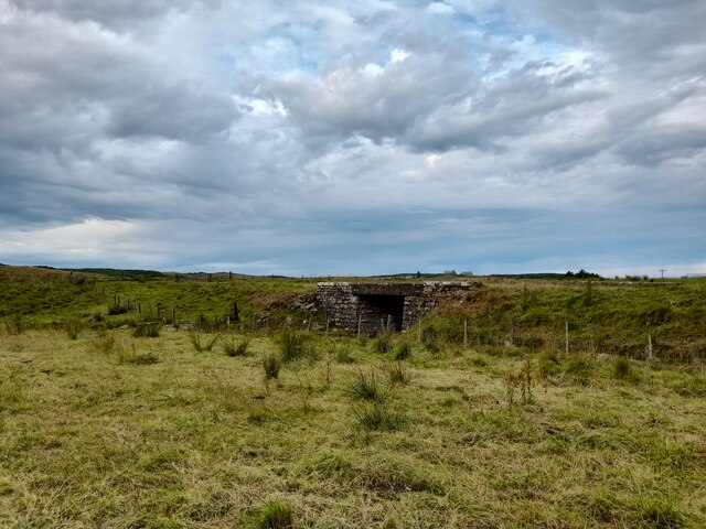
In addition to its natural beauty, Muckle Red Craig also holds historical significance. It is believed to have been a defensive site during ancient times, with evidence of Iron Age settlements discovered in the vicinity. The headland's strategic location and commanding views over the sea would have made it an ideal spot for early inhabitants to protect their communities.

Overall, Muckle Red Craig is a captivating coastal feature that showcases the raw power of nature and offers a glimpse into the rich history of the Caithness region. Whether admiring the awe-inspiring cliffs or exploring the archaeological remnants, visitors to this headland are guaranteed a memorable experience.

If you have any feedback on the listing, please let us know in the comments section below.

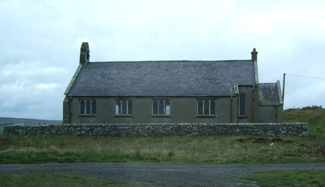
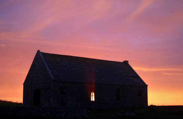
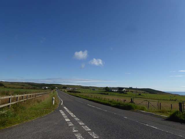
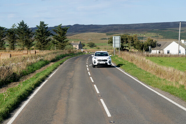
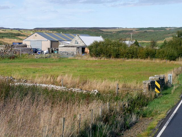
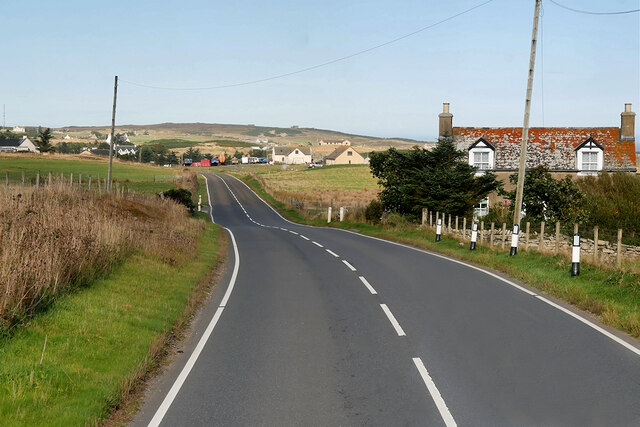
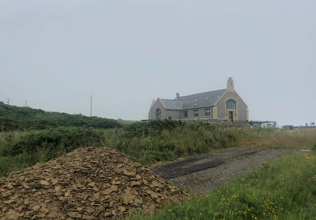
Muckle Red Craig Images

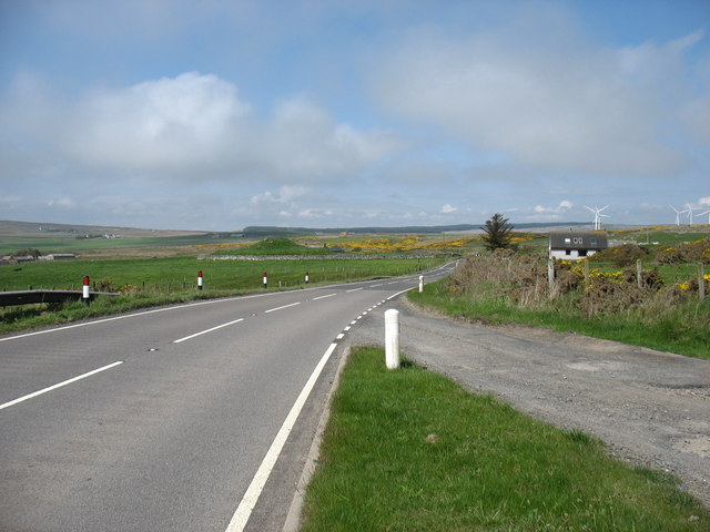
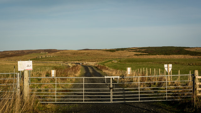
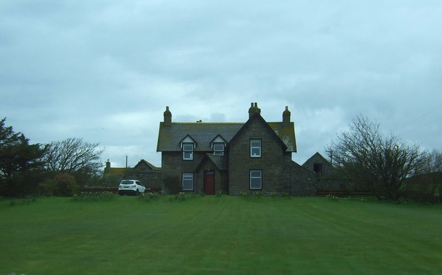
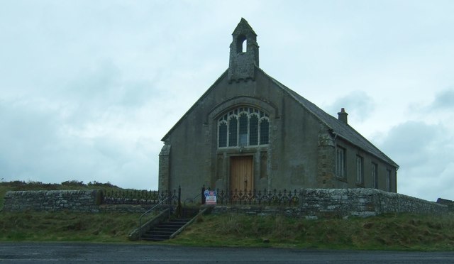
Images are sourced within 2km of 58.327591/-3.1878356 or Grid Reference ND3038. Thanks to Geograph Open Source API. All images are credited.

The A99 at Bruan The remains of the Bruan Broch can be seen as a grassy hump just left of centre.
The A99 at Bruan
The remains of the Bruan Broch can be seen as a grassy hump just left of centre.
Once the Wick and Lybster railway, now windfarm access Railway opened 1903, closed 1944.
Once the Wick and Lybster railway, now windfarm access
Railway opened 1903, closed 1944.
Bruan Lodge Farm On the A99.
Bruan Lodge Farm
On the A99.
Bruan Church Simple church in rubble and slate with a stone bellcote.
For sale at the time.
Bruan Church
Simple church in rubble and slate with a stone bellcote. For sale at the time.
Bruan Church Simple church in rubble and slate with a stone bellcote.
For sale at the time.
Bruan Church
Simple church in rubble and slate with a stone bellcote. For sale at the time.
Bruan old kirk 2006 Bruan old kirk seen at sunrise, 2006.
Prior to roof being removed.
Bruan old kirk 2006
Bruan old kirk seen at sunrise, 2006. Prior to roof being removed.
A99 near Bridge of East Clyth
Waterfall near Halberry Head.
Long Gote One of many fine geos along this stretch of the Caithness coast.
Long Gote
One of many fine geos along this stretch of the Caithness coast.
Old Railway Bridge This bridge and embankment are part of the remains of the old Wick and Lybster Light Railway.
Old Railway Bridge
This bridge and embankment are part of the remains of the old Wick and Lybster Light Railway.
The Haven Not so aptly named on this morning!
The Haven
Not so aptly named on this morning!
A99, East Clyth The A99 follows the east coast of Caithness from Latheron, where it leaves the A9, though the town of Wick to John o' Groats at the north-east corner of the Highlands. The road is a trunk road between Latheron and Wick. It was part of the A9 until 1997, when the A9 was re-routed along what had been the A895-A882 link between Latheron and Thurso.

The A99 forms part of the North Coast 500 (NC500) which was launched in 2015. NC500 is a 516-mile scenic route around the north coast of Scotland, starting and ending at Inverness Castle,
A99, East Clyth
The A99 follows the east coast of Caithness from Latheron, where it leaves the A9, though the town of Wick to John o' Groats at the north-east corner of the Highlands. The road is a trunk road between Latheron and Wick. It was part of the A9 until 1997, when the A9 was re-routed along what had been the A895-A882 link between Latheron and Thurso. The A99 forms part of the North Coast 500 (NC500) which was launched in 2015. NC500 is a 516-mile scenic route around the north coast of Scotland, starting and ending at Inverness Castle,
A99 near Bulnacraig The A99 follows the east coast of Caithness from Latheron, where it leaves the A9, though the town of Wick to John o' Groats at the north-east corner of the Highlands. The road is a trunk road between Latheron and Wick. It was part of the A9 until 1997, when the A9 was re-routed along what had been the A895-A882 link between Latheron and Thurso.

The A99 forms part of the North Coast 500 (NC500) which was launched in 2015. NC500 is a 516-mile scenic route around the north coast of Scotland, starting and ending at Inverness Castle,
A99 near Bulnacraig
The A99 follows the east coast of Caithness from Latheron, where it leaves the A9, though the town of Wick to John o' Groats at the north-east corner of the Highlands. The road is a trunk road between Latheron and Wick. It was part of the A9 until 1997, when the A9 was re-routed along what had been the A895-A882 link between Latheron and Thurso. The A99 forms part of the North Coast 500 (NC500) which was launched in 2015. NC500 is a 516-mile scenic route around the north coast of Scotland, starting and ending at Inverness Castle,
Farm near the A99, south of Bruan
A99 near to Bruan The A99 follows the east coast of Caithness from Latheron, where it leaves the A9, though the town of Wick to John o' Groats at the north-east corner of the Highlands. The road is a trunk road between Latheron and Wick. It was part of the A9 until 1997, when the A9 was re-routed along what had been the A895-A882 link between Latheron and Thurso.

The A99 forms part of the North Coast 500 (NC500) which was launched in 2015. NC500 is a 516-mile scenic route around the north coast of Scotland, starting and ending at Inverness Castle,
A99 near to Bruan
The A99 follows the east coast of Caithness from Latheron, where it leaves the A9, though the town of Wick to John o' Groats at the north-east corner of the Highlands. The road is a trunk road between Latheron and Wick. It was part of the A9 until 1997, when the A9 was re-routed along what had been the A895-A882 link between Latheron and Thurso. The A99 forms part of the North Coast 500 (NC500) which was launched in 2015. NC500 is a 516-mile scenic route around the north coast of Scotland, starting and ending at Inverness Castle,
Isolated house at East Clyth
Bruan Church Two churches on this corner of the A99, this the newer one which seems to have been converted into a dwelling. The older one is in a ruinous state <a href="https://www.geograph.org.uk/photo/7440818">ND3139 : The Old Free Kirk at Bruan</a>
Bruan Church
Two churches on this corner of the A99, this the newer one which seems to have been converted into a dwelling. The older one is in a ruinous state ND3139 : The Old Free Kirk at Bruan
The Old Free Kirk at Bruan No roof and up for sale with planning permission for a cottage.
The Old Free Kirk at Bruan
No roof and up for sale with planning permission for a cottage.
Show me another place!

Muckle Red Craig is located at Grid Ref: ND3038 (Lat: 58.327591, Lng: -3.1878356)

Unitary Authority: Highland

Police Authority: Highlands and Islands

What 3 Words

///essays.dimes.eggplants. Near Wick, Highland

Related Wikis

Mid Clyth railway station

Mid Clyth was a railway station located between Wick and Lybster, Highland. == History == The station was opened as part of the Wick and Lybster Railway...
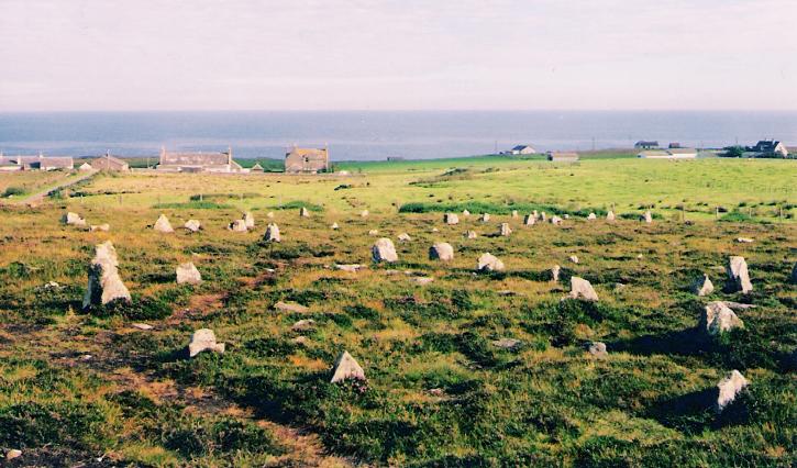
Hill o' Many Stanes

The Hill O Many Stanes is a south-facing hillside (at grid reference ND295384) in Mid Clyth, about 14 kilometres (8.7 mi) south of Wick in Caithness, in...

Bruan

Bruan (Scottish Gaelic:) is a small crofting hamlet on the east coast of Scotland in Lybster, Caithness, Highland and is in the Scottish council area of...

Roster Road Halt railway station

Roster Road Halt was a railway station located between Wick and Lybster in Highland, Scotland. == History == The station was opened on the Wick and Lybster...

Nearby Amenities

Located within 500m of 58.327591,-3.1878356
Power: pole
Lat/Long: 58.3288196/-3.1914728
Power: pole
Lat/Long: 58.3299688/-3.1913429
Power: pole
Lat/Long: 58.3304336/-3.1913063
Power: pole
Lat/Long: 58.3310966/-3.191217
Power: pole
Lat/Long: 58.3314825/-3.1912008
Power: pole
Lat/Long: 58.3313524/-3.1924312
The data included in this document is from www.openstreetmap.org. The data is made available under ODbL.

Have you been to Muckle Red Craig?

Leave your review of Muckle Red Craig below (or comments, questions and feedback).