The Haven

Bay in Caithness

Scotland

The Haven

The A99 at Bruan The remains of the Bruan Broch can be seen as a grassy hump just left of centre.
The A99 at Bruan Credit: David Purchase

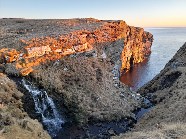
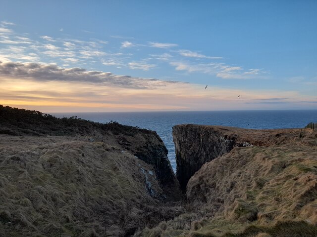
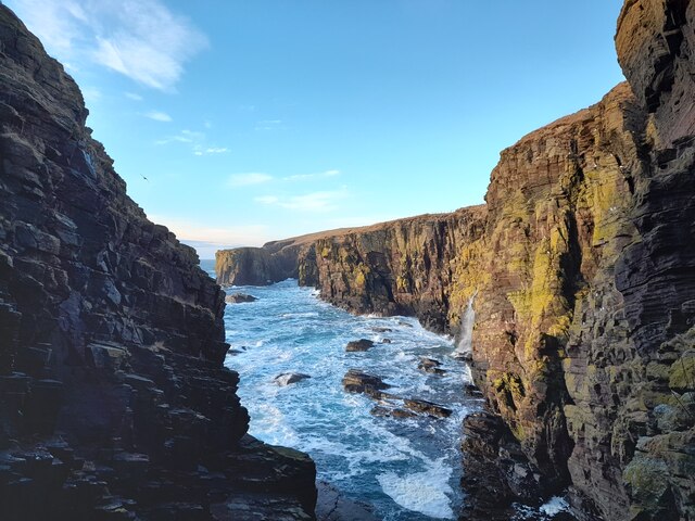
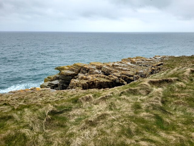
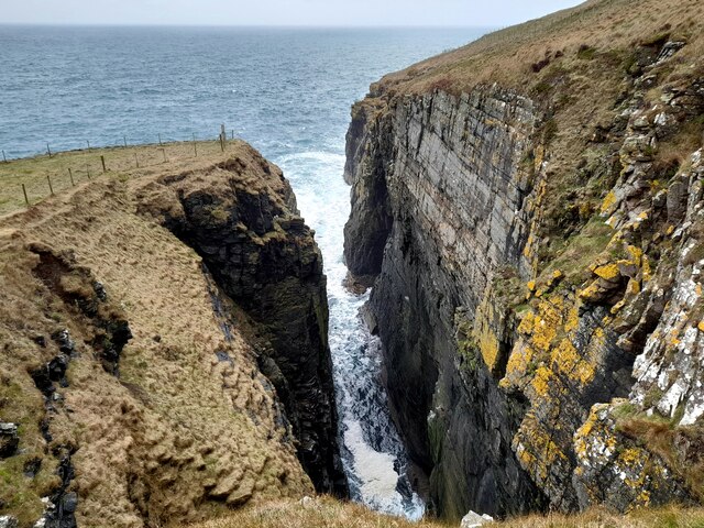
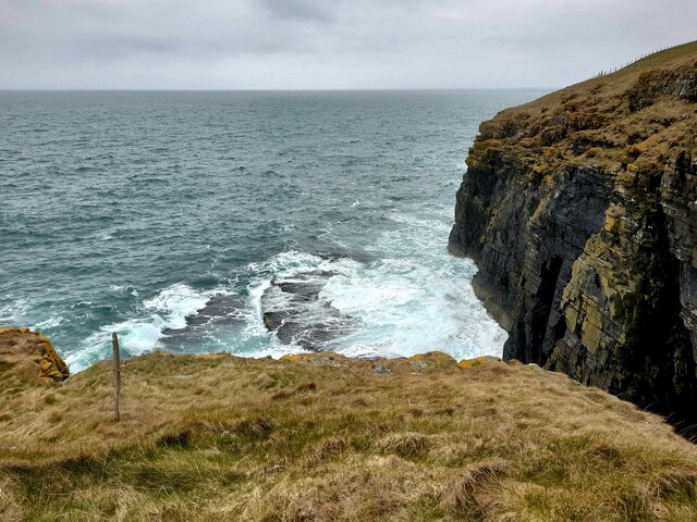
The Haven, Caithness (Bay) is a picturesque coastal location situated on the northern coast of Scotland. Surrounded by stunning cliffs and overlooking the North Sea, it offers breathtaking views and a tranquil atmosphere for visitors.

The bay is characterized by its pristine sandy beach, which stretches for approximately a mile and provides ample space for sunbathing, picnicking, and leisurely walks. The shoreline is adorned with scattered rocks and the occasional tide pools, making it a popular spot for rock pooling enthusiasts and nature lovers.

The Haven is also well-known for its diverse wildlife. Seals can often be spotted basking on the rocks, while various species of seabirds, including puffins, fulmars, and guillemots, nest in the cliffs nearby. Dolphins and porpoises can occasionally be seen frolicking in the waters, adding to the area's natural beauty.

For those seeking outdoor activities, The Haven offers excellent opportunities for water sports such as surfing, kayaking, and sailing. The bay's consistent waves and favorable wind conditions make it an ideal destination for both beginners and experienced water sport enthusiasts. Fishing is also a popular pastime, with the bay being home to a wide range of fish species.

The Haven, Caithness (Bay) is a hidden gem, offering visitors a peaceful retreat amidst stunning natural surroundings. With its beautiful beach, abundant wildlife, and exciting recreational activities, it is a must-visit destination for nature enthusiasts and adventure seekers alike.

If you have any feedback on the listing, please let us know in the comments section below.
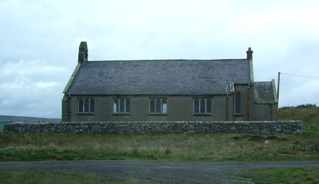
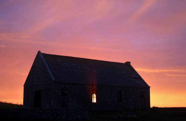
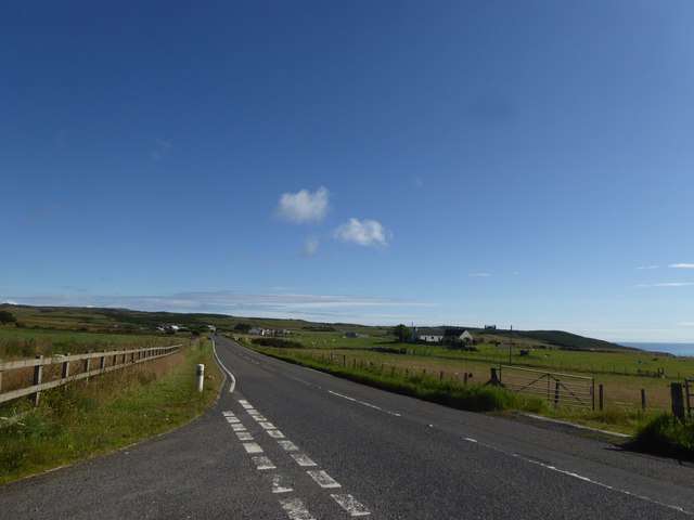
The Haven Images

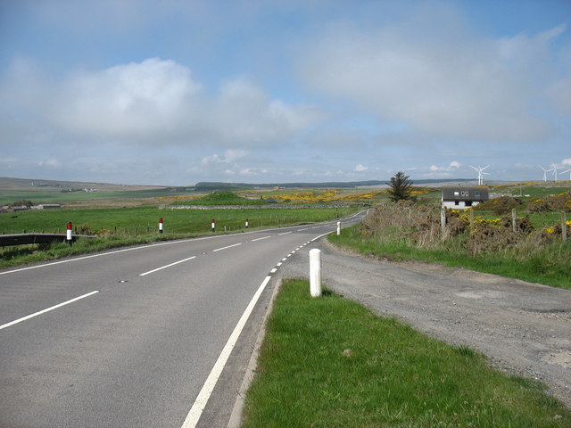
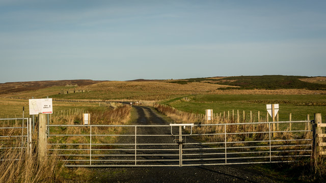
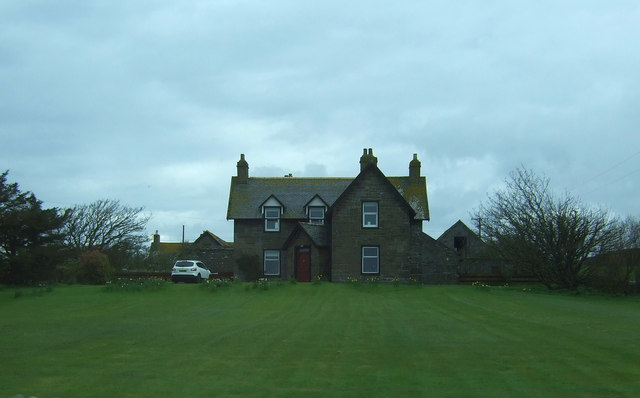
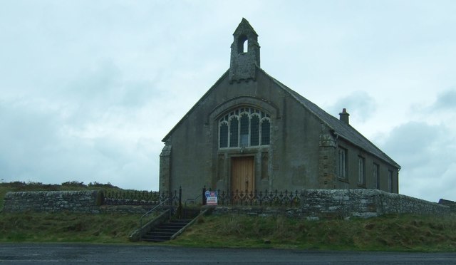
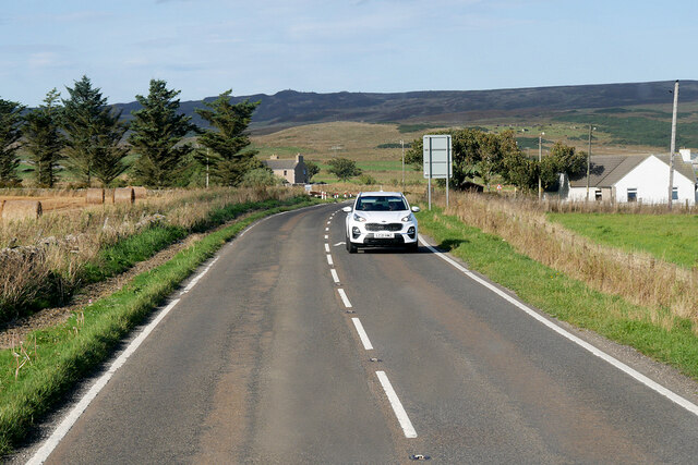
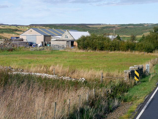
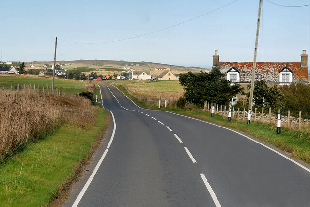
Images are sourced within 2km of 58.332669/-3.181619 or Grid Reference ND3038. Thanks to Geograph Open Source API. All images are credited.

The A99 at Bruan The remains of the Bruan Broch can be seen as a grassy hump just left of centre.
The A99 at Bruan
The remains of the Bruan Broch can be seen as a grassy hump just left of centre.
Once the Wick and Lybster railway, now windfarm access Railway opened 1903, closed 1944.
Once the Wick and Lybster railway, now windfarm access
Railway opened 1903, closed 1944.
Bruan Lodge Farm On the A99.
Bruan Lodge Farm
On the A99.
Bruan Church Simple church in rubble and slate with a stone bellcote.
For sale at the time.
Bruan Church
Simple church in rubble and slate with a stone bellcote. For sale at the time.
Bruan Church Simple church in rubble and slate with a stone bellcote.
For sale at the time.
Bruan Church
Simple church in rubble and slate with a stone bellcote. For sale at the time.
Bruan old kirk 2006 Bruan old kirk seen at sunrise, 2006.
Prior to roof being removed.
Bruan old kirk 2006
Bruan old kirk seen at sunrise, 2006. Prior to roof being removed.
A99 near Bridge of East Clyth
Waterfall near Halberry Head.
Long Gote One of many fine geos along this stretch of the Caithness coast.
Long Gote
One of many fine geos along this stretch of the Caithness coast.
Old Railway Bridge This bridge and embankment are part of the remains of the old Wick and Lybster Light Railway.
Old Railway Bridge
This bridge and embankment are part of the remains of the old Wick and Lybster Light Railway.
The Haven Not so aptly named on this morning!
The Haven
Not so aptly named on this morning!
A99, East Clyth The A99 follows the east coast of Caithness from Latheron, where it leaves the A9, though the town of Wick to John o' Groats at the north-east corner of the Highlands. The road is a trunk road between Latheron and Wick. It was part of the A9 until 1997, when the A9 was re-routed along what had been the A895-A882 link between Latheron and Thurso.

The A99 forms part of the North Coast 500 (NC500) which was launched in 2015. NC500 is a 516-mile scenic route around the north coast of Scotland, starting and ending at Inverness Castle,
A99, East Clyth
The A99 follows the east coast of Caithness from Latheron, where it leaves the A9, though the town of Wick to John o' Groats at the north-east corner of the Highlands. The road is a trunk road between Latheron and Wick. It was part of the A9 until 1997, when the A9 was re-routed along what had been the A895-A882 link between Latheron and Thurso. The A99 forms part of the North Coast 500 (NC500) which was launched in 2015. NC500 is a 516-mile scenic route around the north coast of Scotland, starting and ending at Inverness Castle,
A99 near Bulnacraig The A99 follows the east coast of Caithness from Latheron, where it leaves the A9, though the town of Wick to John o' Groats at the north-east corner of the Highlands. The road is a trunk road between Latheron and Wick. It was part of the A9 until 1997, when the A9 was re-routed along what had been the A895-A882 link between Latheron and Thurso.

The A99 forms part of the North Coast 500 (NC500) which was launched in 2015. NC500 is a 516-mile scenic route around the north coast of Scotland, starting and ending at Inverness Castle,
A99 near Bulnacraig
The A99 follows the east coast of Caithness from Latheron, where it leaves the A9, though the town of Wick to John o' Groats at the north-east corner of the Highlands. The road is a trunk road between Latheron and Wick. It was part of the A9 until 1997, when the A9 was re-routed along what had been the A895-A882 link between Latheron and Thurso. The A99 forms part of the North Coast 500 (NC500) which was launched in 2015. NC500 is a 516-mile scenic route around the north coast of Scotland, starting and ending at Inverness Castle,
Farm near the A99, south of Bruan
A99 near to Bruan The A99 follows the east coast of Caithness from Latheron, where it leaves the A9, though the town of Wick to John o' Groats at the north-east corner of the Highlands. The road is a trunk road between Latheron and Wick. It was part of the A9 until 1997, when the A9 was re-routed along what had been the A895-A882 link between Latheron and Thurso.

The A99 forms part of the North Coast 500 (NC500) which was launched in 2015. NC500 is a 516-mile scenic route around the north coast of Scotland, starting and ending at Inverness Castle,
A99 near to Bruan
The A99 follows the east coast of Caithness from Latheron, where it leaves the A9, though the town of Wick to John o' Groats at the north-east corner of the Highlands. The road is a trunk road between Latheron and Wick. It was part of the A9 until 1997, when the A9 was re-routed along what had been the A895-A882 link between Latheron and Thurso. The A99 forms part of the North Coast 500 (NC500) which was launched in 2015. NC500 is a 516-mile scenic route around the north coast of Scotland, starting and ending at Inverness Castle,
Cliffs South of Whaligoe Only a small section of coast within this grid square.
Cliffs South of Whaligoe
Only a small section of coast within this grid square.
A Caithness Geo In this context geo isn't short for geograph. Rather it's the local word for inlet, this one is particularly dramatic.
A Caithness Geo
In this context geo isn't short for geograph. Rather it's the local word for inlet, this one is particularly dramatic.
Leacan Oir The flat, partly submerged rocks are called Leacan Oir which translates as Flagstones of Gold. Here, by tradition, a Danish princess perished when her ship was lured on to these rocks by false light. She was betrothed to a high ranking member of the Clan Gunn who only wanted the dowry. A pot of gold was found on the rocks and long after locals claimed they could see shiny metal on the seabed.
Leacan Oir
The flat, partly submerged rocks are called Leacan Oir which translates as Flagstones of Gold. Here, by tradition, a Danish princess perished when her ship was lured on to these rocks by false light. She was betrothed to a high ranking member of the Clan Gunn who only wanted the dowry. A pot of gold was found on the rocks and long after locals claimed they could see shiny metal on the seabed.
Show me another place!

The Haven is located at Grid Ref: ND3038 (Lat: 58.332669, Lng: -3.181619)

Unitary Authority: Highland

Police Authority: Highlands and Islands

What 3 Words

///indoor.persuade.inflates. Near Wick, Highland

Related Wikis

Bruan

Bruan (Scottish Gaelic:) is a small crofting hamlet on the east coast of Scotland in Lybster, Caithness, Highland and is in the Scottish council area of...

Mid Clyth railway station

Mid Clyth was a railway station located between Wick and Lybster, Highland. == History == The station was opened as part of the Wick and Lybster Railway...
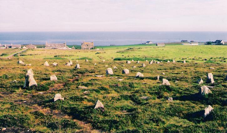
Hill o' Many Stanes

The Hill O Many Stanes is a south-facing hillside (at grid reference ND295384) in Mid Clyth, about 14 kilometres (8.7 mi) south of Wick in Caithness, in...

Whaligoe

Whaligoe is a small port in Caithness, in the Highland area of Scotland, which was prospected by Thomas Telford in 1786 during his tour of northern fishing...
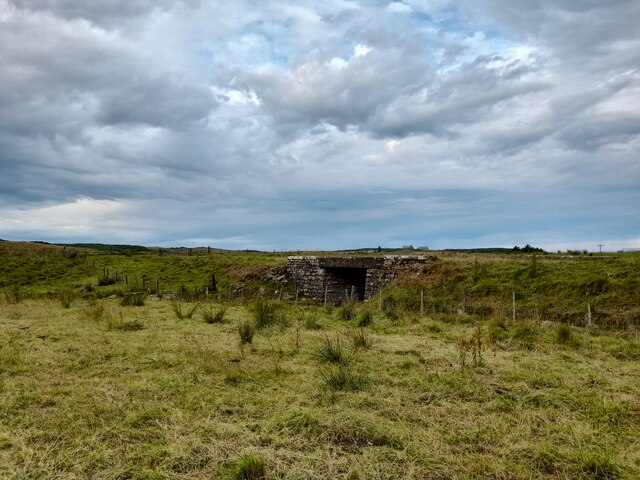
Nearby Amenities

Located within 500m of 58.332669,-3.181619
Power: pole
Lat/Long: 58.3324461/-3.1900475
Power: pole
Lat/Long: 58.3327915/-3.1896252
Power: pole
Lat/Long: 58.3331358/-3.1892069
Source: PGS
Lat/Long: 58.3328084/-3.1821218
The data included in this document is from www.openstreetmap.org. The data is made available under ODbL.

Have you been to The Haven?

Leave your review of The Haven below (or comments, questions and feedback).