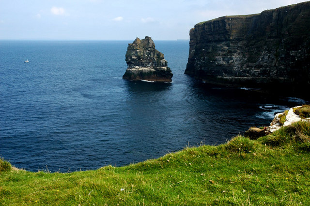
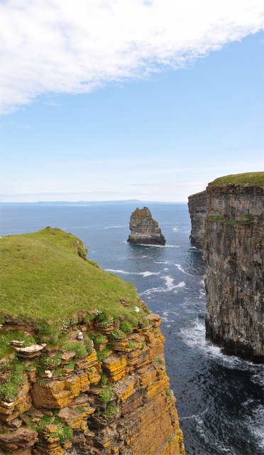
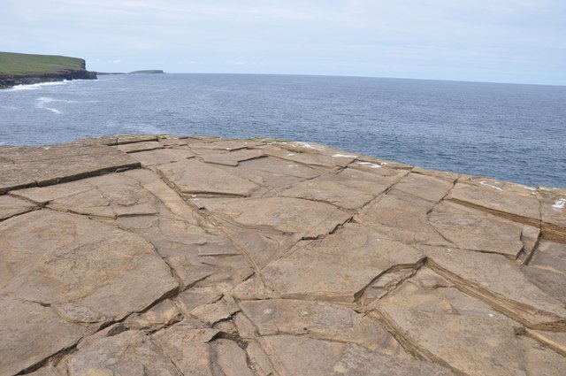
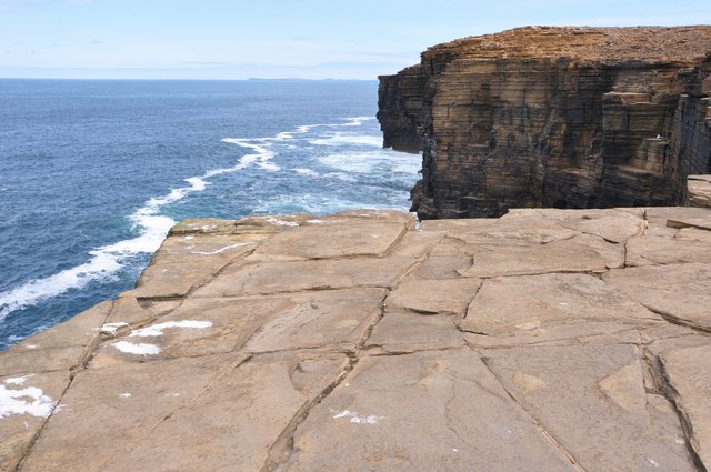
Castle of Oyce

Coastal Feature, Headland, Point in Orkney

Scotland

Castle of Oyce

Inyamehellya (Inyama Hellier on OS map) A large geo near Costa Head with a rock stack called Standard
Inyamehellya (Inyama Hellier on OS map) Credit: John Comloquoy

The requested URL returned error: 429 Too Many Requests

If you have any feedback on the listing, please let us know in the comments section below.

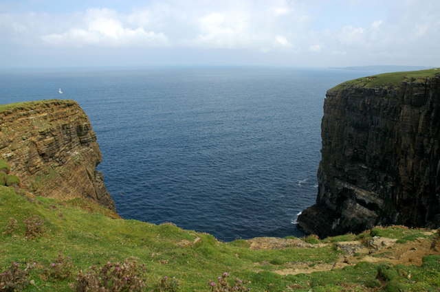
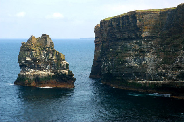
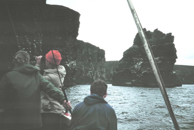
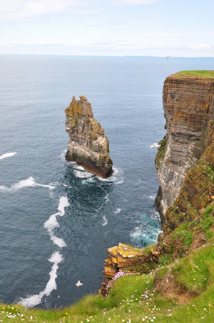
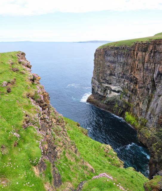
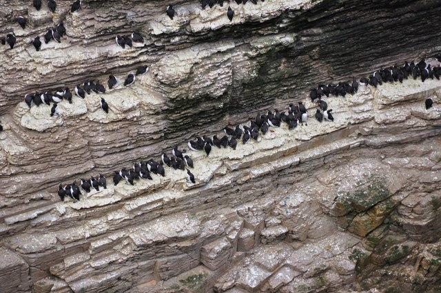
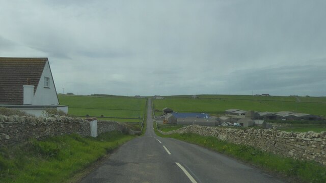
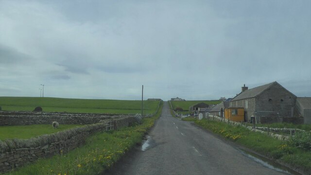
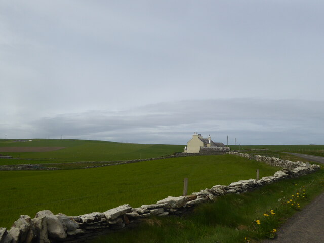
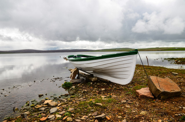
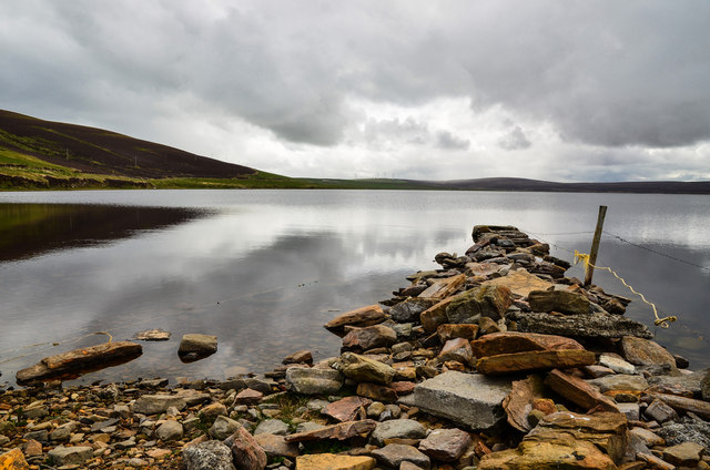
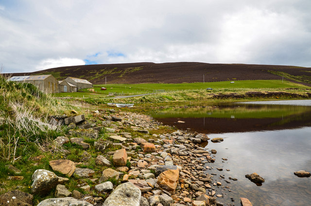
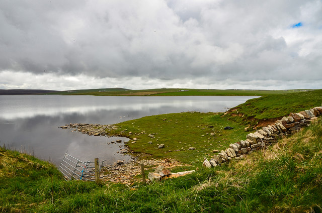
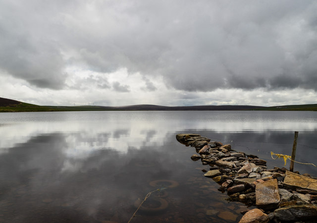
Castle of Oyce Images

Images are sourced within 2km of 59.148943/-3.2444998 or Grid Reference HY2829. Thanks to Geograph Open Source API. All images are credited.

Inyamehellya (Inyama Hellier on OS map) A large geo near Costa Head with a rock stack called Standard
Inyamehellya (Inyama Hellier on OS map)
A large geo near Costa Head with a rock stack called Standard
Clifftop View Dramatic clifftop view of the geo of Inyama Hellia, sea stack of Standard and far away Westray, with Fulmars and Thrift in the foreground.
Clifftop View
Dramatic clifftop view of the geo of Inyama Hellia, sea stack of Standard and far away Westray, with Fulmars and Thrift in the foreground.
Skea Looking West Curiously named clifftop of Skea. At the southeast corner of this tiny Geograph looking west towards the Brough of Birsay. My GPS told me this square is 9m east to west and 7m north to south - so the whole square is in this photograph.
Skea Looking West
Curiously named clifftop of Skea. At the southeast corner of this tiny Geograph looking west towards the Brough of Birsay. My GPS told me this square is 9m east to west and 7m north to south - so the whole square is in this photograph.
Skea Looking East Clifftop at Skea looking east on this tiny Geograph - 9m by 7m. In the distance is Westray. - see also <a title="https://www.geograph.org.uk/photo/1928246" href="https://www.geograph.org.uk/photo/1928246">Link</a>
Skea Looking East
Clifftop at Skea looking east on this tiny Geograph - 9m by 7m. In the distance is Westray. - see also Link
Ramna Geo, below Costa Hill Looking northeast to north isles
Ramna Geo, below Costa Hill
Looking northeast to north isles
Standard A large outlying sea stack at Inyamehellya
Standard
A large outlying sea stack at Inyamehellya
The Standard The Standard photographed from the Shapinsay fishing boat 'Flourish'.
The Standard
The Standard photographed from the Shapinsay fishing boat 'Flourish'.
The Standard is High But not as high as me! - Curiously un-orcadian sounding sea stack called Standard which is about 170ft tall - my vantage point is over 300ft.
The Standard is High
But not as high as me! - Curiously un-orcadian sounding sea stack called Standard which is about 170ft tall - my vantage point is over 300ft.
Ramna Geo Looking down into the depths of Ramna Geo from the cliff edge - in the distance is Rousay and Westray.
Ramna Geo
Looking down into the depths of Ramna Geo from the cliff edge - in the distance is Rousay and Westray.
All Lined Up Guillemots on one of the many ledges of the sea stack called Standard.
All Lined Up
Guillemots on one of the many ledges of the sea stack called Standard.
A966 near Swannay Farm, Orkney
Manse and fields at Abune-the-hill, Orkney
Boat by the Loch of Swannay View across the loch from the northern shoreline by the A966.
Boat by the Loch of Swannay
View across the loch from the northern shoreline by the A966.
Jetty on Loch Swannay Looking south from the top of the loch by the A966.
Jetty on Loch Swannay
Looking south from the top of the loch by the A966.
Top of Loch Swannay View to the A966 with Costa Hill on the horizon.
Top of Loch Swannay
View to the A966 with Costa Hill on the horizon.
Loch of Swannay Looking across the top end of the loch towards Swannay Farm centre horizon.
Loch of Swannay
Looking across the top end of the loch towards Swannay Farm centre horizon.
Down by the Swannay This pile of rocks at the top of the Loch of Swannay is optimistically described by OS Mapping as a jetty, personally I wouldn't fancy my chances at launching much from it, still, it makes a nice foreground feature for the picture. Note the three sunken tyres used to tie up to.
Down by the Swannay
This pile of rocks at the top of the Loch of Swannay is optimistically described by OS Mapping as a jetty, personally I wouldn't fancy my chances at launching much from it, still, it makes a nice foreground feature for the picture. Note the three sunken tyres used to tie up to.
Show me another place!

Castle of Oyce is located at Grid Ref: HY2829 (Lat: 59.148943, Lng: -3.2444998)

Unitary Authority: Orkney Islands

Police Authority: Highlands and Islands

What 3 Words

///inserted.helped.promising. Near Birsay, Orkney Islands

Related Wikis

Abune-the-hill

Abune-the-Hill is a place on in the North of the Orkney Mainland (59.13° N 03.25° W HY2828) and just to the west of the Loch of Swannay.Abune-the-Hill...

Costa Head

Costa Head is a prominent headland on Eynhallow Sound on the northwestern coast of the Orkney Mainland, Scotland. The tidal indraught of Eynhallow Sound...

Loch of Swannay

The Loch of Swannay is the most northerly loch on the mainland of Orkney and lies within the parish of Birsay in the north west of the island. It is an...

Birsay

Birsay () (Old Norse: Birgisherað) is a parish in the north west corner of The Mainland of Orkney, Scotland. Almost all the land in the parish is devoted...

Have you been to Castle of Oyce?

Leave your review of Castle of Oyce below (or comments, questions and feedback).