The Bodach

Coastal Feature, Headland, Point in Caithness

Scotland

The Bodach

Entrance to an old ice-house, Swiney
Entrance to an old ice-house, Swiney Credit: sylvia duckworth

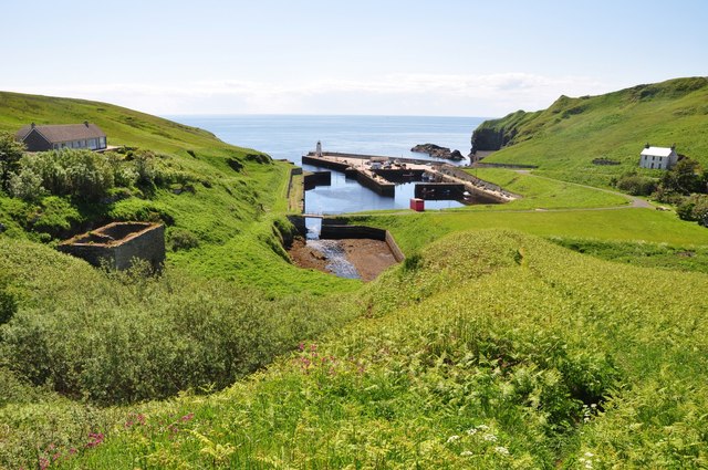
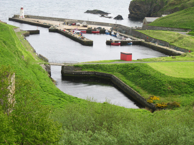
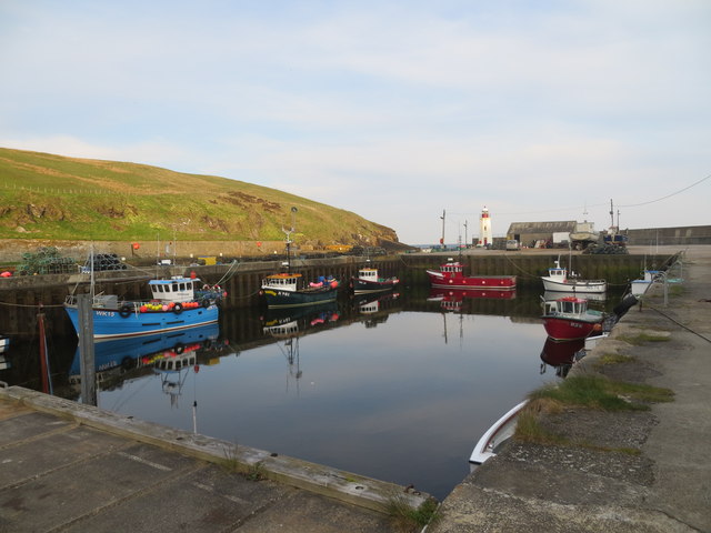
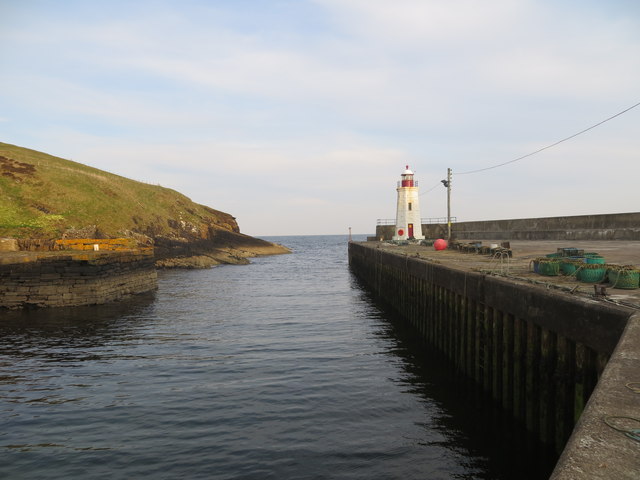
The Bodach is a prominent headland located in Caithness, a historic county in the northernmost part of mainland Scotland. Situated along the rugged coastal region, this striking feature is renowned for its stunning natural beauty and unique geological formations.

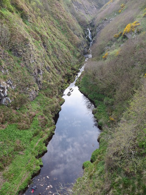
Standing tall at an elevation of approximately 90 meters, The Bodach offers breathtaking panoramic views of the North Sea and the surrounding landscape. Its steep cliffs, composed of ancient sandstone and conglomerate rock, create a dramatic backdrop against the crashing waves below. The headland's distinct shape, resembling a stooped figure, is what inspired its name "Bodach," which means "old man" in Scottish Gaelic.

The Bodach is home to a diverse array of wildlife, making it a popular spot for nature enthusiasts and birdwatchers. The cliffs provide nesting sites for various seabird species, including guillemots, razorbills, and fulmars. Additionally, the surrounding coastal heathland and grassy slopes support a rich variety of plant life, including wildflowers and hardy shrubs.

Visitors to The Bodach can enjoy scenic walks along the headland, taking in the breathtaking vistas and immersing themselves in the peaceful ambience. The area is also known for its historical significance, with traces of Iron Age settlements and Viking activity found in the vicinity. Furthermore, the headland's strategic position has made it a significant landmark for navigators throughout history.

Overall, The Bodach is a captivating coastal feature that showcases the raw beauty of Caithness. Its imposing cliffs, diverse wildlife, and historical significance make it an essential destination for those seeking a true taste of Scotland's natural and cultural heritage.

If you have any feedback on the listing, please let us know in the comments section below.
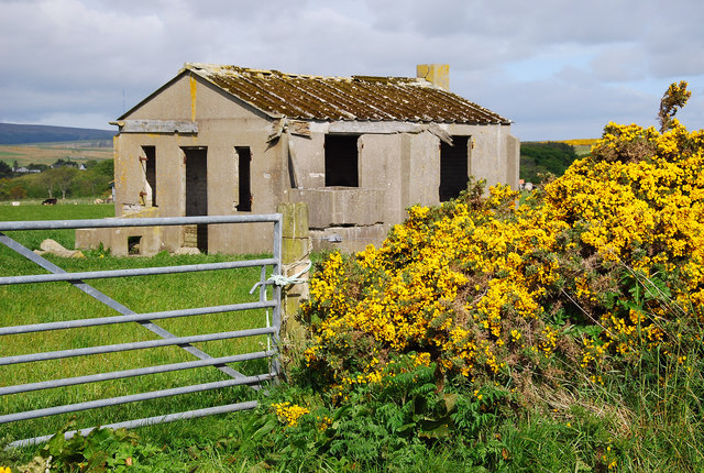
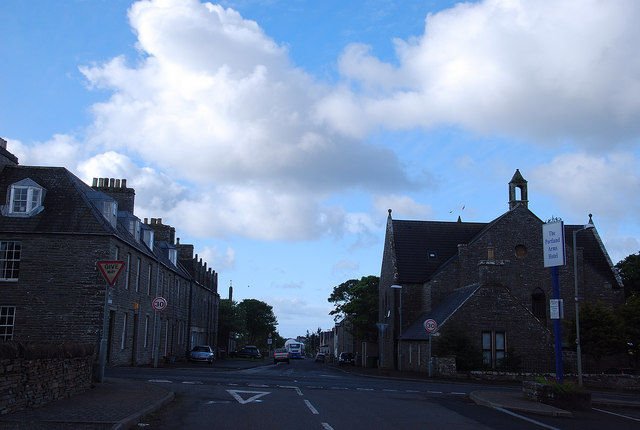
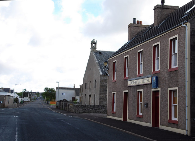
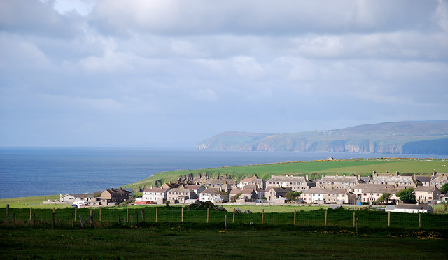
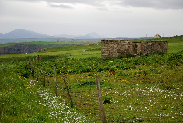
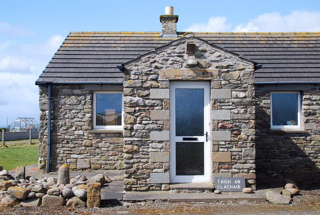
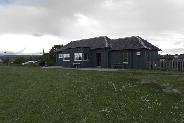
The Bodach Images

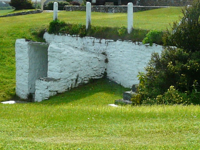
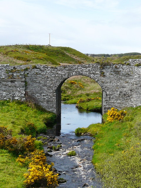
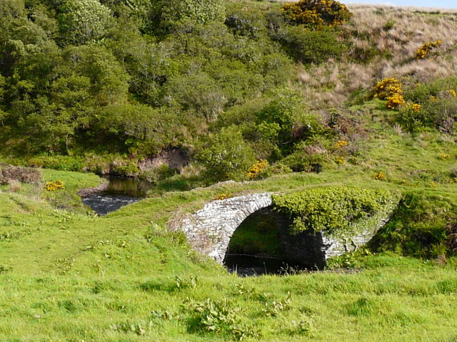
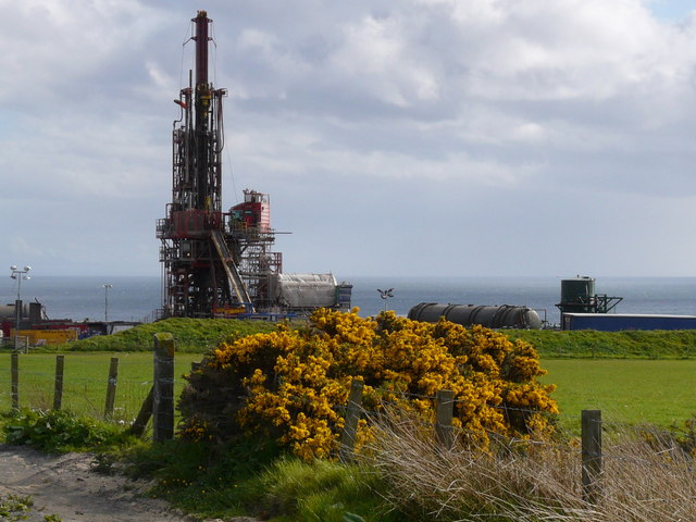
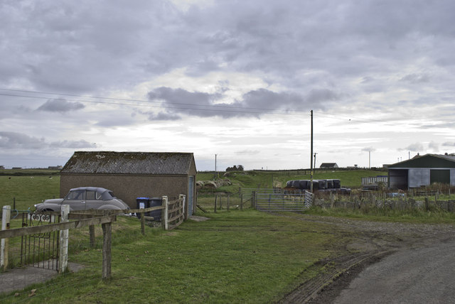
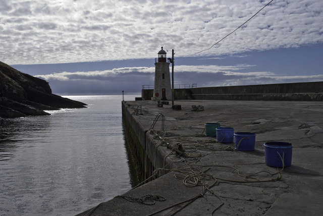
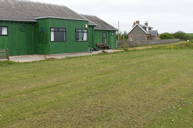
Images are sourced within 2km of 58.298408/-3.2736479 or Grid Reference ND2535. Thanks to Geograph Open Source API. All images are credited.

Entrance to an old ice-house, Swiney
Old bridge at Reisgill
Oldest bridge at Reisgill
Caithness Oil drilling rig
MOD Leftovers Caithness is littered with reminders of the Second World War.  Its proximity to Scapa Flow meant that there was much activity in this area.
MOD Leftovers
Caithness is littered with reminders of the Second World War. Its proximity to Scapa Flow meant that there was much activity in this area.
Quatre Bras From Norland Road Lybster's main road junction with the A99 has a French connection.
Quatre Bras
From Norland Road Lybster's main road junction with the A99 has a French connection.
Lybster Village The Commercial Hotel, a disused church and a bank looking north.
Lybster Village
The Commercial Hotel, a disused church and a bank looking north.
Lybster View Over the fields for a morning view of the village.
Lybster View
Over the fields for a morning view of the village.
Occumster Ruin High above the cliffs of Ceann Hilligeo is Occumster, the home of the Caithness Cheese Company. The ruined croft building has wonderful views towards sea and hill with the Caithness hills in the distance.
Occumster Ruin
High above the cliffs of Ceann Hilligeo is Occumster, the home of the Caithness Cheese Company. The ruined croft building has wonderful views towards sea and hill with the Caithness hills in the distance.
The Stonemason's House The mason showing off his work to advantage with the fine work on the walls.
The Stonemason's House
The mason showing off his work to advantage with the fine work on the walls.
Harbour View Lybster Harbour from the picnic spot on Shore Road, Lybster.
Harbour View
Lybster Harbour from the picnic spot on Shore Road, Lybster.
Lybster Station Now the clubhouse for Lybster Golf Course, this was originally the end of the line of the short lived Lybster and Wick Light Railway, opened 1903 and closed 1944. Within are photos of the old station.
Lybster Station
Now the clubhouse for Lybster Golf Course, this was originally the end of the line of the short lived Lybster and Wick Light Railway, opened 1903 and closed 1944. Within are photos of the old station.
Lybster Harbour The inner harbour was completed as recently as 1950. The harbour is still used mainly for fishing, but the number of working boats is down to twenty or so.
Lybster Harbour
The inner harbour was completed as recently as 1950. The harbour is still used mainly for fishing, but the number of working boats is down to twenty or so.
Lybster Harbour
Lybster Harbour
Entrance to Lybster Harbour
Small waterfall in the Reisgill Burn at Lybster
Remains of Wick and Lybster Light Railway The site of Occumster station on the short lived Wick and Lybster Light railway, opened 1903 and closed 1944.
Remains of Wick and Lybster Light Railway
The site of Occumster station on the short lived Wick and Lybster Light railway, opened 1903 and closed 1944.
Buckets and Lighthouse at Lybster
Show me another place!

The Bodach is located at Grid Ref: ND2535 (Lat: 58.298408, Lng: -3.2736479)

Unitary Authority: Highland

Police Authority: Highlands and Islands

What 3 Words

///pianists.crabmeat.attitudes. Near Dunbeath, Highland

Related Wikis

Lybster

Lybster (, Scottish Gaelic: Liabost) is a village on the east coast of Caithness in northern Scotland. It was once a big herring fishing port. The Waterlines...

Swiney

Swiney is a small village on the east coast of Scotland, 1 mile west of Lybster along the A99 road, in Caithness, Scottish Highlands and is in the Scottish...

Lybster railway station

Lybster was a railway station located on the Wick and Lybster Railway in the Highland area of Scotland. The station building now serves as the clubhouse...

Parkside Halt railway station

Parkside Halt was a railway station located between Ulbster and Lybster, Highland. == History == The station was opened on the Wick and Lybster Railway...

Nearby Amenities

Located within 500m of 58.298408,-3.2736479
Alban
Place: hamlet
Lat/Long: 58.3005081/-3.2728915
Tokanner
Place: hamlet
Lat/Long: 58.3027406/-3.2716898
Power: pole
Lat/Long: 58.3017472/-3.2684207
Power: pole
Lat/Long: 58.301026/-3.2689019
Power: pole
Lat/Long: 58.3004157/-3.2692957
Power: pole
Lat/Long: 58.3007571/-3.2664491
Power: pole
Lat/Long: 58.3005085/-3.2669202
Power: pole
Lat/Long: 58.3004808/-3.2672572
Power: pole
Lat/Long: 58.3004477/-3.268445
Power: pole
Lat/Long: 58.3003656/-3.2706988
Power: pole
Lat/Long: 58.3003175/-3.2720591
Power: pole
Lat/Long: 58.3002663/-3.2734276
Power: pole
Lat/Long: 58.3027255/-3.2713891
Power: pole
Lat/Long: 58.3024065/-3.2704064
Power: pole
Lat/Long: 58.3020715/-3.2693973
Bench
Lat/Long: 58.2991265/-3.2730608
The data included in this document is from www.openstreetmap.org. The data is made available under ODbL.

Have you been to The Bodach?

Leave your review of The Bodach below (or comments, questions and feedback).