Spout Geo
Coastal Feature, Headland, Point in Orkney
Scotland
Spout Geo
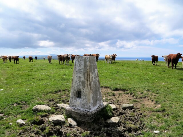
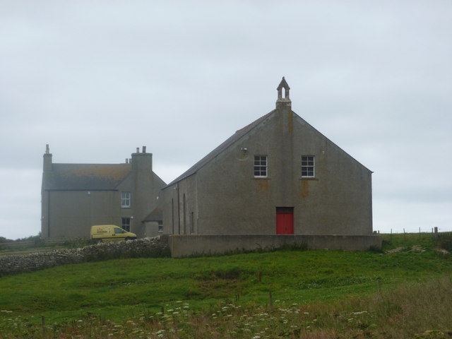
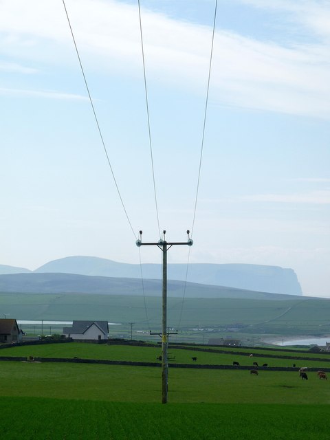
Spout Geo is a prominent coastal feature located in Orkney, a group of islands in Scotland. It is classified as a headland, also known as a point, due to its distinctive geographical characteristics. This coastal formation is situated on the eastern coast of the Mainland, Orkney's largest island.
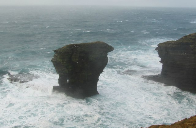
Spout Geo is characterized by its dramatic cliff face that extends vertically from the sea, rising to a considerable height. The cliffs are composed of rugged sandstone, which gives the headland its distinctive reddish-brown color. These cliffs are subject to constant erosion by the relentless waves of the North Sea, causing them to undergo gradual changes over time.
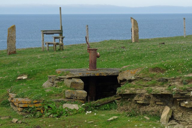
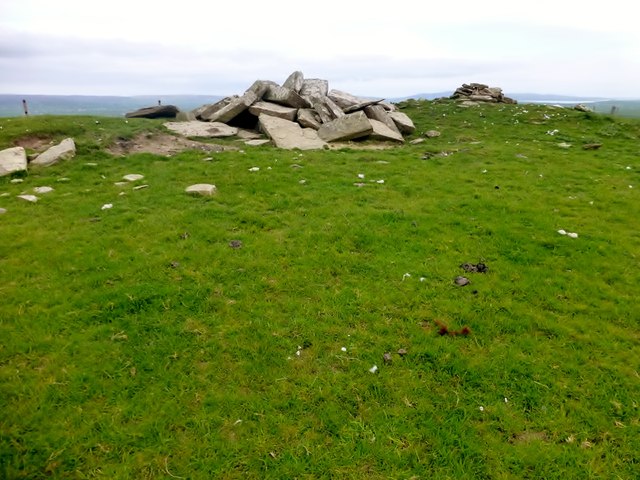
At the base of the headland, there is a small rocky beach that is exposed during low tide. This beach is scattered with pebbles and provides visitors with an opportunity to explore the diverse marine life that inhabits the rock pools. The area surrounding the headland is also known for its rich birdlife, with various seabird species, such as guillemots and kittiwakes, nesting on the cliffs.
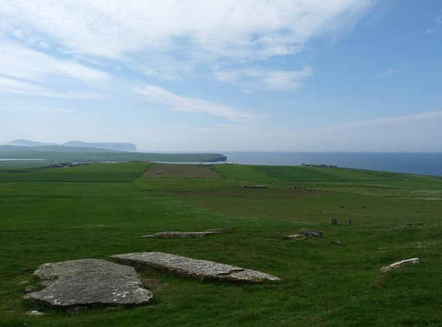
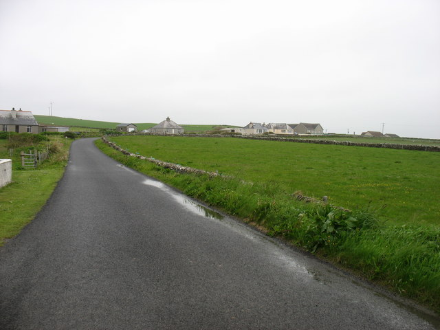
Spout Geo offers breathtaking panoramic views of the surrounding coastline and the vast expanse of the North Sea. It is a popular spot for hikers and nature enthusiasts who are drawn to its natural beauty and picturesque scenery. The headland is easily accessible via a well-maintained footpath, which allows visitors to navigate the undulating terrain and enjoy the stunning coastal vistas.
Overall, Spout Geo is a remarkable coastal feature in Orkney, known for its imposing cliffs, diverse wildlife, and stunning views. It serves as a testament to the dynamic forces of nature that have shaped the landscape of this captivating region.
If you have any feedback on the listing, please let us know in the comments section below.
Spout Geo Images
Images are sourced within 2km of 59.072131/-3.3473752 or Grid Reference HY2221. Thanks to Geograph Open Source API. All images are credited.


Spout Geo is located at Grid Ref: HY2221 (Lat: 59.072131, Lng: -3.3473752)
Unitary Authority: Orkney Islands
Police Authority: Highlands and Islands
What 3 Words
///spicy.cupboards.rainwater. Near Sandwick, Orkney Islands
Related Wikis

Bay of Skaill
The Bay of Skaill (from Old Norse Bugr Skála) is a small bay on the west coast of the Orkney Mainland, Scotland. == Visitor attractions == Bay of Skaill...

Skara Brae
Skara Brae is a stone-built Neolithic settlement, located on the Bay of Skaill on the west coast of Mainland, the largest island in the Orkney archipelago...
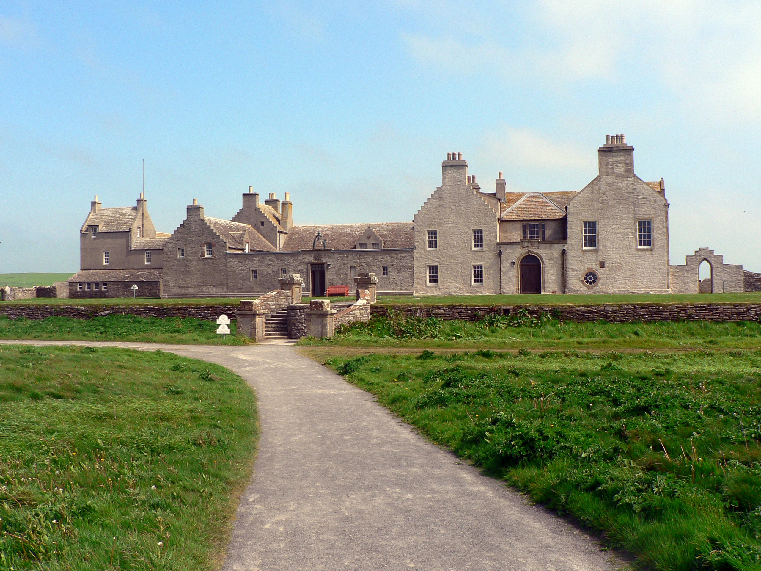
Skaill House
Skaill House is a historic manor house in Sandwick parish on Mainland, the largest of the Orkney Islands, Scotland. The house overlooks the neolithic site...

Loch of Skaill
The Loch of Skaill is a small somewhat triangular, freshwater loch in the parish of Sandwick, Orkney on Mainland Orkney, Scotland. It lies 0.5 mi (0.80...

Sandwick, Orkney
Sandwick (Old Norse: Sandvík; Norn: Sandvik) is a parish on the west coast of Mainland, Orkney, Scotland, 4 miles (6.4 km) north of Stromness.The parish...

RNAS Twatt (HMS Tern)
Royal Naval Air Station Twatt, (RNAS Twatt; or HMS Tern) is a former Royal Navy Air Station located near Twatt, Orkney, Scotland. It was built by the Admiralty...

RAF Skeabrae
Royal Air Force Skeabrae, or more simply RAF Skeabrae, is a former Royal Air Force station located in Orkney, Mainland, United Kingdom. == History == The...

Broch of Borwick
The Broch of Borwick is an Iron Age broch located on Mainland, Orkney, Scotland (grid reference HY22411678). It is a scheduled monument. == Location... ==
Related Videos

Walking Orkney Marwick Bay to Marwick Head
A short walk from Marwick Bay to Marwick Head taking in the magnificent views and the memorial to HMS Hampshire.
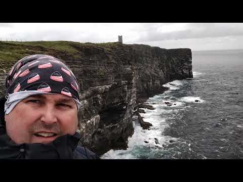
Kitchener Memorial and Orkneys amazing cliff.
Orkney Hike over high cliffs and Kitchener Memorial can be seen in the back ground.A steep walk up to the top but very do-able.

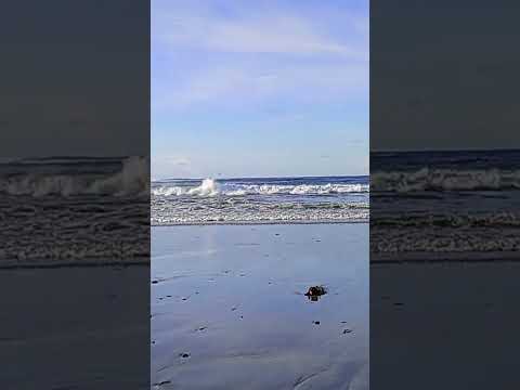
The Bay of Skaill Orkney
The Bay of Skaill Orkney on a beautiful November day.
Have you been to Spout Geo?
Leave your review of Spout Geo below (or comments, questions and feedback).