Ackworth, Low

Settlement in Yorkshire

England

Ackworth, Low

Old milepost The northernmost surviving milepost on the Barnsley to Pontefract route, A628.   It is about a mile north of High Ackworth and at the top of Castle Syke Hill.   The top 12cm of the casting was broken off many years ago and since 2019 the top of the backing stone has also been broken off.  It was known to have been last painted in 2012.
Old milepost Credit: Chris Minto

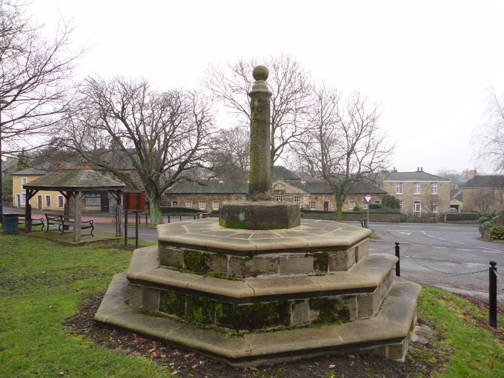
Ackworth is a small village located in the Low area of Yorkshire, England. Situated approximately 10 miles southeast of the city of Wakefield, it falls within the district of the City of Wakefield. With a population of around 6,500 residents, Ackworth is known for its picturesque countryside and historical charm.

The village is renowned for its well-preserved Georgian architecture, with many buildings dating back to the 18th century. The most notable of these is the Ackworth School, a prestigious Quaker boarding school founded in 1779. The school's impressive main building, with its distinctive clock tower, is a local landmark.

Ackworth is surrounded by beautiful countryside, offering ample opportunities for outdoor activities such as walking, cycling, and horse riding. The village is also home to several parks and green spaces, including the Ackworth Millennium Green, which provides a peaceful retreat for residents and visitors alike.

In terms of amenities, Ackworth boasts a range of shops, cafes, and restaurants, providing essential services and a vibrant community hub. The village also has its own primary school, medical center, and library, ensuring that residents have access to essential facilities.

Transport links in Ackworth are convenient, with regular bus services connecting the village to nearby towns and cities. The M62 motorway is easily accessible, providing convenient access to larger urban areas such as Leeds and Sheffield.

Overall, Ackworth offers a tranquil and picturesque setting, combined with a strong sense of community and historical significance, making it an attractive place to live or visit.

If you have any feedback on the listing, please let us know in the comments section below.

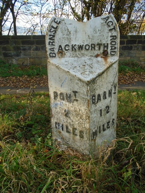
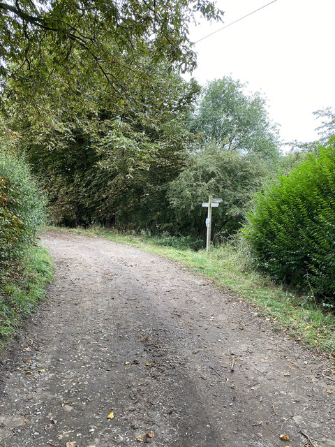
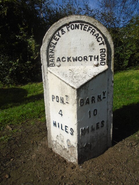
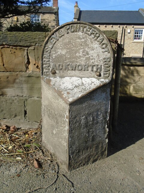
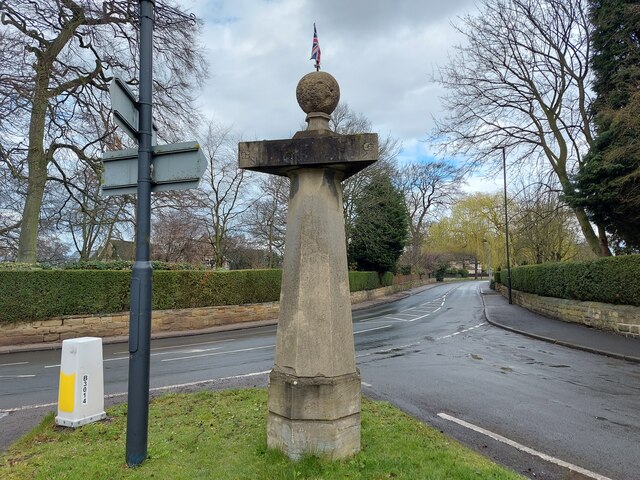
Ackworth, Low Images

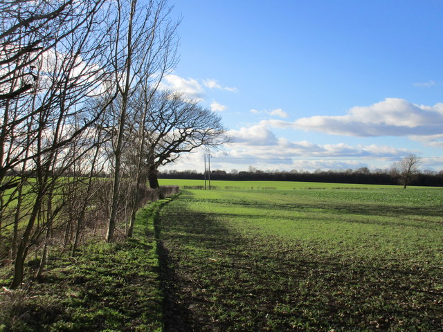
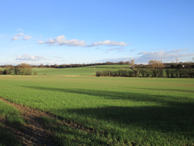
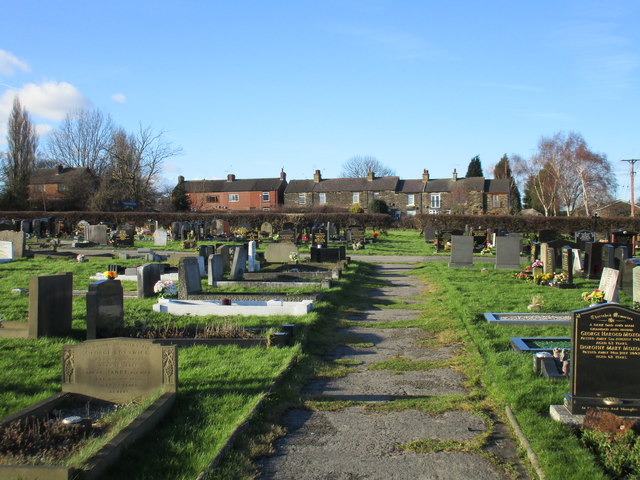
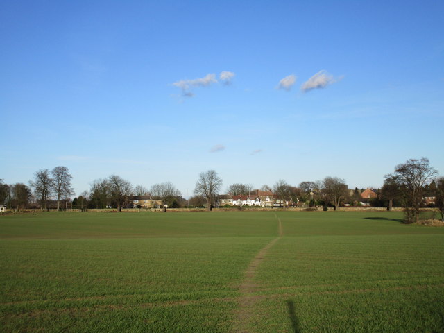
Images are sourced within 2km of 53.650023/-1.325214 or Grid Reference SE4417. Thanks to Geograph Open Source API. All images are credited.

Old milepost The northernmost surviving milepost on the Barnsley to Pontefract route, A628.   It is about a mile north of High Ackworth and at the top of Castle Syke Hill.   The top 12cm of the casting was broken off many years ago and since 2019 the top of the backing stone has also been broken off.  It was known to have been last painted in 2012.
Old milepost
The northernmost surviving milepost on the Barnsley to Pontefract route, A628. It is about a mile north of High Ackworth and at the top of Castle Syke Hill. The top 12cm of the casting was broken off many years ago and since 2019 the top of the backing stone has also been broken off. It was known to have been last painted in 2012.
Off Green Lane,  Brackenhill Possible old quarrying equipment
Off Green Lane, Brackenhill
Possible old quarrying equipment
Brackenhill Trig Point Flush Bracket S1914
View towards Constitution Hill Farm
Footpath near Constitution Hill Farm
Hundhill Trig Point Flush Bracket S4242
Old milepost This milepost from the Barnsley to Pontefract tollroad is near the bus stop on the A628 in Ackworth just north of the roundabout with the A638. It is known that it was painted in 2005.  Most of the mileposts on this route do not have a backing stone so this one, larger than the casting, is probably a 20C addition.  This post is the only one of those remaining that is not 'Listed'.
Old milepost
This milepost from the Barnsley to Pontefract tollroad is near the bus stop on the A628 in Ackworth just north of the roundabout with the A638. It is known that it was painted in 2005. Most of the mileposts on this route do not have a backing stone so this one, larger than the casting, is probably a 20C addition. This post is the only one of those remaining that is not 'Listed'.
Old milepost This very dilapidated metal milepost is on a very narrow verge on Pontefract Road, High Ackworth.  It was at the entrance to a Garden Centre but this is now a gated set of houses.  The faint outlines of raised legends can just be made out on the post.  It is Grade II Listed 1135473.
Old milepost
This very dilapidated metal milepost is on a very narrow verge on Pontefract Road, High Ackworth. It was at the entrance to a Garden Centre but this is now a gated set of houses. The faint outlines of raised legends can just be made out on the post. It is Grade II Listed 1135473.
Old milestone Another of the 615 original milestones erected for the West Riding County Council in 1893/94.   The contractor was Gill Stead and Son of Heckmondwike.   It was last repainted in 2004 and is set in a concrete base.  This is one of those cast by Brayshaw & Booth, Liversedge.
Old milestone
Another of the 615 original milestones erected for the West Riding County Council in 1893/94. The contractor was Gill Stead and Son of Heckmondwike. It was last repainted in 2004 and is set in a concrete base. This is one of those cast by Brayshaw & Booth, Liversedge.
Long Lane, Ackworth
Long Lane, Ackworth
Sandy Gate Lane, Ackworth
Ackworth Plague Stone
East Hardwick, disused well
Field edge north of Badsworth
View from Doncaster Road, Ackworth Moor Top Cherry Tree Farm on the extreme right.
View from Doncaster Road, Ackworth Moor Top
Cherry Tree Farm on the extreme right.
Cemetery and cottages., Ackworth Moor Top
Footpath to East Hardwick
Line of trees Hundhill Farm beyond.
Line of trees
Hundhill Farm beyond.
Show me another place!

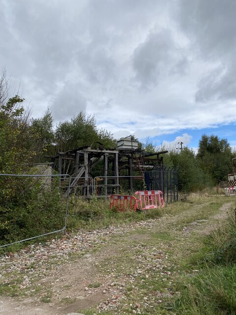
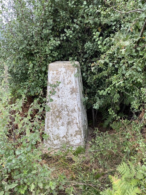
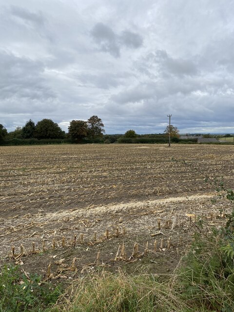
Ackworth, Low is located at Grid Ref: SE4417 (Lat: 53.650023, Lng: -1.325214)

Division: West Riding

Unitary Authority: Wakefield

Police Authority: West Yorkshire

What 3 Words

///solar.tasty.springing. Near Low Ackworth, West Yorkshire

Related Wikis

Ackworth School

Ackworth School is an independent day and boarding school located in the village of High Ackworth, near Pontefract, West Yorkshire, England. It is one...

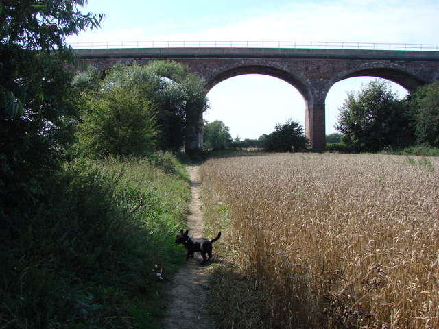
Six Arches, Ackworth

The Six Arches is a railway viaduct in Ackworth, West Yorkshire, England, named after its design. It carries the Pontefract to Rotherham line over the...

Ackworth railway station

Ackworth railway station was a railway station serving Ackworth in the English county of West Yorkshire. == History == The station was opened by the Swinton...

Ackworth, West Yorkshire

Ackworth is a village and civil parish in the metropolitan borough of Wakefield, West Yorkshire, England. It stands between Pontefract, Barnsley and Doncaster...

Nearby Amenities

Located within 500m of 53.650023,-1.325214
Bus Stop
Station Road The Orchards
Local Ref: 45017003
Naptan AtcoCode: 450017003
Naptan Bearing: N
Naptan CommonName: Station Road The Orchards
Naptan Crossing: The Orchards
Naptan Indicator: Stop 45017003
Naptan PlusbusZoneRef: LEEDS
Naptan ShortCommonName: The Orchards
Naptan Street: Station Road
Naptan Verified: no
Source: naptan_import
Lat/Long: 53.65186/-1.3202801
Bus Stop
Station Road Lee Lane
Local Ref: 45017004
Naptan AtcoCode: 450017004
Naptan Bearing: E
Naptan CommonName: Station Road Lee Lane
Naptan Crossing: Lee Lane
Naptan Indicator: Stop 45017004
Naptan PlusbusZoneRef: LEEDS
Naptan ShortCommonName: Lee Lane
Naptan Street: Station Road
Naptan Verified: no
Source: naptan_import
Lat/Long: 53.6525997/-1.3247462
Bus Stop
Station Road Low Green
Local Ref: 45017005
Naptan AtcoCode: 450017005
Naptan Bearing: SW
Naptan CommonName: Station Road Low Green
Naptan Crossing: Low Green
Naptan Indicator: Stop 45017005
Naptan PlusbusZoneRef: LEEDS
Naptan ShortCommonName: Low Green
Naptan Street: Station Road
Naptan Verified: no
Source: naptan_import
Lat/Long: 53.650176/-1.3276903
Bus Stop
Station Road Pontefract Road
Local Ref: 45017006
Naptan AtcoCode: 450017006
Naptan Bearing: E
Naptan CommonName: Station Road Pontefract Road
Naptan Crossing: Pontefract Road
Naptan Indicator: Stop 45017006
Naptan Landmark: Ackworth School
Naptan PlusbusZoneRef: LEEDS
Naptan ShortCommonName: Pontefract Road
Naptan Street: Station Road
Naptan Verified: no
Source: naptan_import
Lat/Long: 53.6497731/-1.3311764
Bus Stop
Station Road Barnsley Road
Local Ref: 45017007
Naptan AtcoCode: 450017007
Naptan Bearing: W
Naptan CommonName: Station Road Barnsley Road
Naptan Crossing: Barnsley Road
Naptan Indicator: Stop 45017007
Naptan Landmark: Ackworth Quaker School
Naptan PlusbusZoneRef: LEEDS
Naptan ShortCommonName: Barnsley Road
Naptan Street: Station Road
Naptan Verified: no
Source: naptan_import
Lat/Long: 53.6495819/-1.3323979
Bus Stop
Station Road The Orchards
Local Ref: 45023854
Naptan AtcoCode: 450023854
Naptan Bearing: S
Naptan CommonName: Station Road The Orchards
Naptan Crossing: Vale View
Naptan Indicator: Stop 45023854
Naptan Landmark: Community Centre
Naptan PlusbusZoneRef: LEEDS
Naptan ShortCommonName: Vale View
Naptan Street: Station Road
Naptan Verified: no
Source: naptan_import
Lat/Long: 53.6514103/-1.3202268
Low Ackworth Ackworth
Local Ref: 45050485
Naptan AtcoCode: 450050485
Naptan Bearing: W
Naptan BusStopType: CUS
Naptan CommonName: Low Ackworth Ackworth
Naptan Indicator: Stop 45050485
Naptan PlusbusZoneRef: LEEDS
Naptan ShortCommonName: Lee Lane
Naptan Street: Station Road
Naptan Verified: no
Source: naptan_import
Lat/Long: 53.6511243/-1.3236961
Low Ackworth
Is In: West Yorkshire
Place: village
Source: OS OpenData StreetView
Lat/Long: 53.65085/-1.3227115
Post Box
Operator: Royal Mail
Post Box Type: wall
Ref: WF7 58
Lat/Long: 53.6495701/-1.3323558
Post Box
Operator: Royal Mail
Post Box Type: lamp
Ref: WF7 61
Lat/Long: 53.6501834/-1.3187302
Post Box
Operator: Royal Mail
Post Box Type: pillar
Ref: WF7 57
Royal Cypher: EIIR
Royal Cypher Wikidata: Q33102113
Lat/Long: 53.6518943/-1.3202644
Barrier: kissing_gate
Lat/Long: 53.6467357/-1.3286692
Low Ackworth Stores
Addr City: Pontefract
Addr Housenumber: 121
Addr Postcode: WF7 7HA
Addr Street: Station Road
Addr Suburb: Ackworth
Addr Town: Pontefract
Brand: Premier
Brand Wikidata: Q7240340
Fhrs Id: 1452637
Shop: convenience
Lat/Long: 53.6525616/-1.3191292
Hinitts Bakery
Addr City: Pontefract
Addr Housenumber: 82
Addr Postcode: WF7 7LY
Addr Street: Station Road
Addr Suburb: Ackworth
Addr Town: Pontefract
Fhrs Id: 313416
Shop: bakery
Lat/Long: 53.6510339/-1.3244051
Kindergarten
Coram House Nursery
Addr City: Pontefract
Addr Postcode: WF7 7NB
Addr Street: Station Road
Addr Suburb: Ackworth
Addr Town: Pontefract
Lat/Long: 53.6491436/-1.3317624
Crossing
Lat/Long: 53.649632/-1.3326213
The data included in this document is from www.openstreetmap.org. The data is made available under ODbL.

Have you been to Ackworth, Low?

Leave your review of Ackworth, Low below (or comments, questions and feedback).